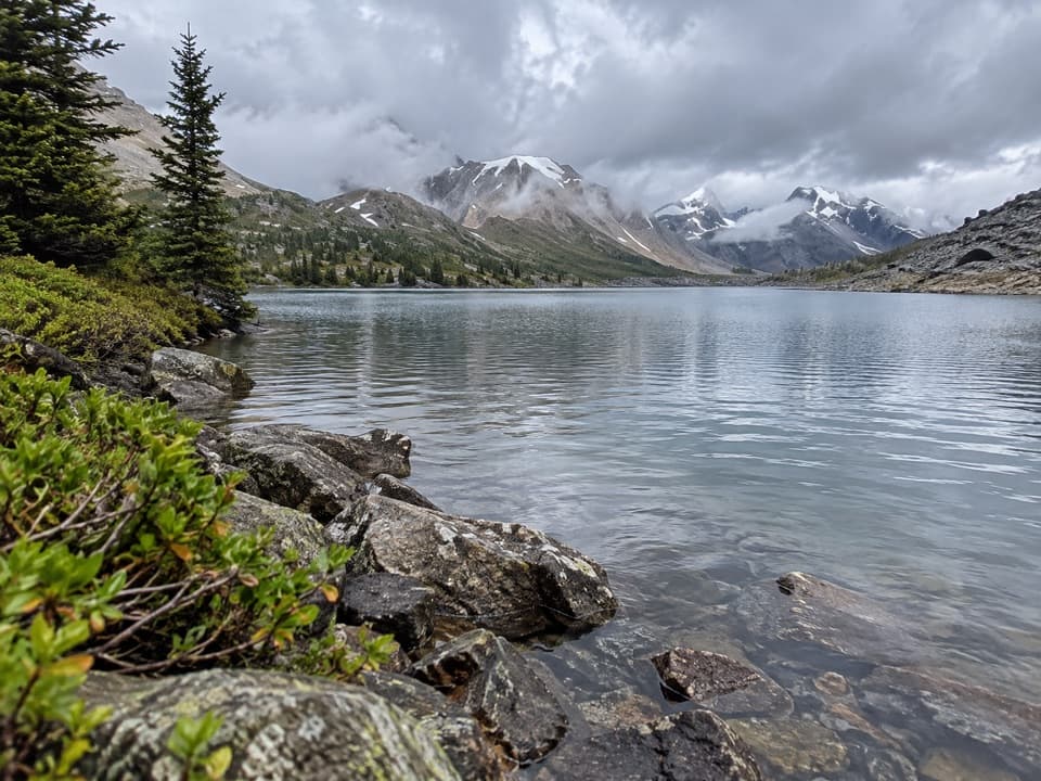
Merlin Lake Trail in Banff National Park

Banff National Park, AB

Merlin Lake Trail

A rocky scramble to a quiet alpine lake above Castilleja.

Length
4.9km
Time
3.5hr
Elev. change
109m
Difficulty
Moderate
  • Dogs allowed
  • High point 2,248 m
  • #75 of 162 in Banff
Parkwolf audio tour185 stories across Banff’s roads

Overview

About Merlin Lake Trail

Why go

  • A secluded alpine lake and open views across the basin.
  • A short, distinct scramble gives the side hike a clear destination.

Heads up

  • The lodge start is a long backcountry approach from Fish Creek.
  • Bouldery footing and a variable final scramble make the short route demanding.

Map & elevation

The route

Loading the Banff map
Full map
Elevation2,139–2,248 m
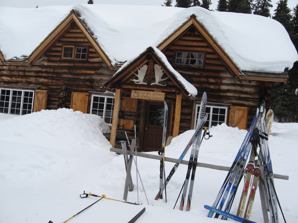
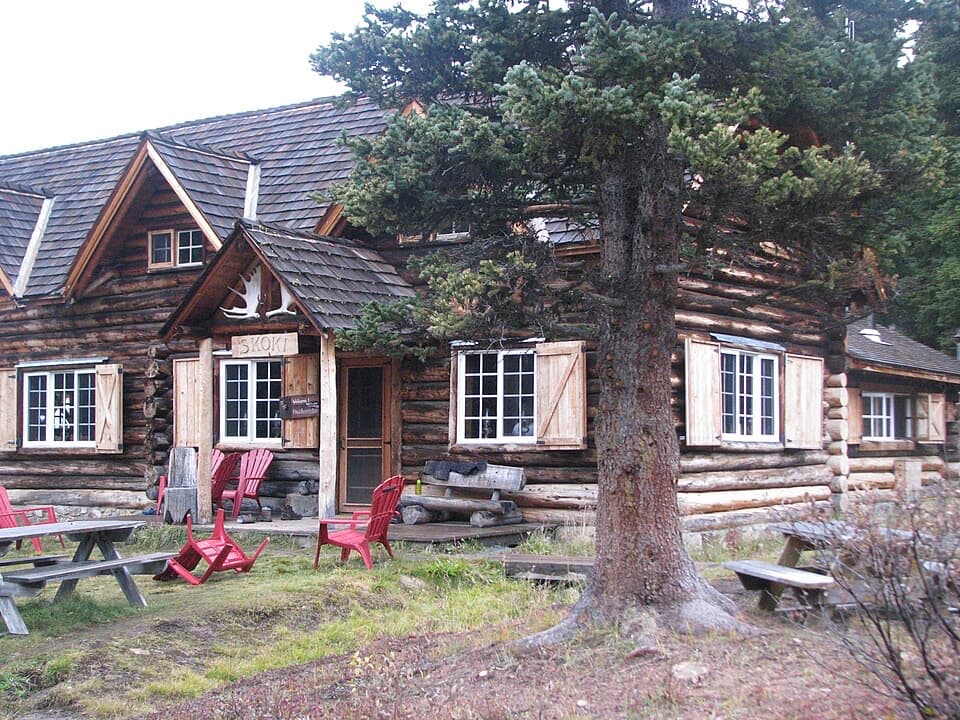
TrailheadSkoki Lodge, Merlin Lake Route start51.52197, -116.08006
Keep this map with you offline in the Parkwolf app

Plan your hike

Before you go

Parking

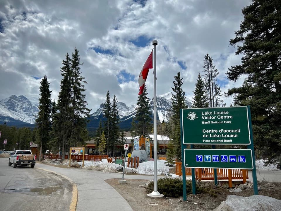
Park at the Fish Creek trailhead at the end of Fish Creek Road, near the Lake Louise ski area. The lot is limited and can fill. Skoki Lodge, where this branch begins, is reached by a long backcountry approach; a lodge itinerary uses a 3.9 km shuttle up Temple Access Road followed by about 14 km on foot. If you walk the access road, add that distance too.

Best time to go

The Skoki area is usually most passable once the passes are largely snow-free, roughly early July to late September. Expect bugs and muddy stretches in summer; cold and snow can return in fall. Skoki Lodge, at the route’s starting point, is a National Historic Site built in 1931. This is grizzly country: carry bear spray where you can reach it, know how to use it, and check current Parks Canada trail and wildlife notices before setting out. Dogs are allowed on Banff trails in summer unless a special restriction is posted; keep them leashed and under control.

Safety

The final rocky bluff is the uncertain section: descriptions range from a short chute to a narrow ledge or direct scramble. Avoid committing if it is wet, icy or beyond your scrambling comfort. This is grizzly country; carry accessible bear spray and know how to use it, and check current Parks Canada warnings. Keep dogs leashed. Reserve a backcountry permit and campsite for overnight travel.

8 active Banff alerts

  • ClosureJohnston Canyon Trail and Day Use Area closedJohnston Canyon Trail and Day Use Area are closed to all traffic and travel through December 11, 2026, because construction work requires protecting public and workers’ safety.Official details
  • ClosureBaker Lake and Hidden Lake campgrounds closed to campingCamping is prohibited at Baker Lake and Hidden Lake campgrounds through December 1, 2026, because a grizzly bear entered campsites and investigated tents and gear; the closures reduce risk to…Official details
See all 8 alerts
A park ranger sits on a dash-mounted phone, talking, as Parkwolf’s Tour Guide plays “Army Cutworm Moths: A Grizzly Bear Buffet” on Grand Loop Road below Dunraven Pass in Yellowstone
Parkwolf Tour GuideThe highest, rockiest slopes around here are a summer buffet for grizzly bears.

Banff Tour Guide

Your drive to Merlin Lake Trail, narrated.

Parkwolf is a GPS audio tour guide for Banff National Park. As you drive, it chimes in with what’s ahead: hidden gems, upcoming stops, history, geology, and wildlife, right through your car’s speakers.

See the Banff audio tour
  • 185 audio storiesacross Banff’s roads, triggered by GPS as you drive
  • Wildlife heatmapsfor Grizzly Bear, Brown Bear, Gray Wolf, and 13 more
  • Works offlinemaps, 162 trails, 90 places, and audio download before you lose signal
  • CarPlay readysimple controls built for the drive
★★★★★
“…Loved the commentary as you drove thru. I’m sure the app can do more than I know but the tips were very helpful. I’m gonna use it when we go to Banff next month.”
tesja22App Store review
Download Parkwolf on the App StoreGet Parkwolf on Google Play

4.7 from 8,600+ ratings

Trail guide

Hiking Merlin Lake Trail

The outing and the commitmentMerlin Lake is a high alpine lake reached on an out-and-back from Skoki Lodge.

Merlin Lake is a high alpine lake reached on an out-and-back from Skoki Lodge. The mapped trail is 2.44 km (1.52 mi) each way, so the stored total is about 4.9 km (3.04 mi) round trip. A trail listing gives 5.8 km return; the mapped corridor supports the shorter figure, but treat the distance as an estimate. From the lodge, allow 3–4 hours for the rough climb and the final scramble. This is a backcountry side hike, not a roadside lake walk. An alternate return through Merlin Meadows makes a different loop; its full distance was not established.

From the lodge to the plateauCross the small creek bridge by the lodge and take the right branch.

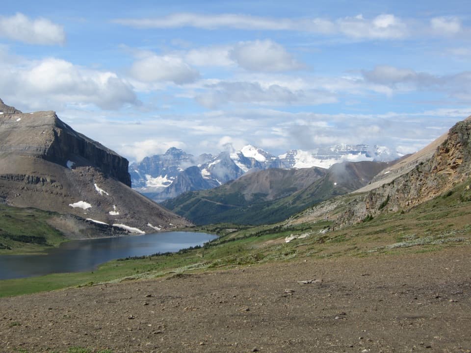
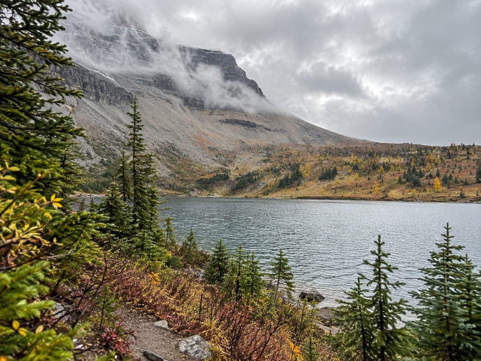
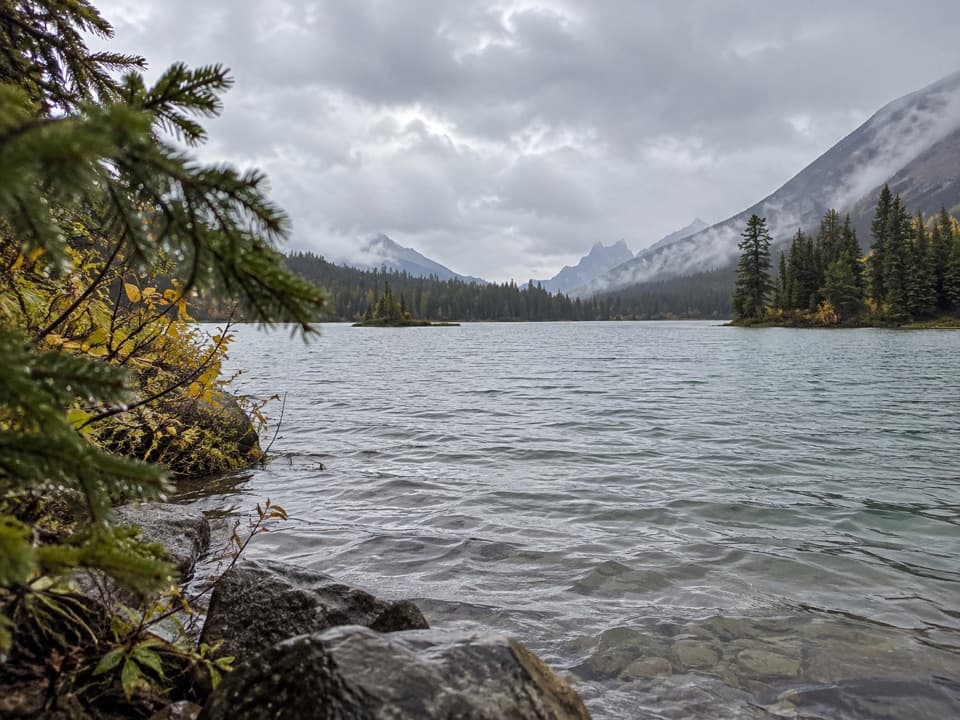
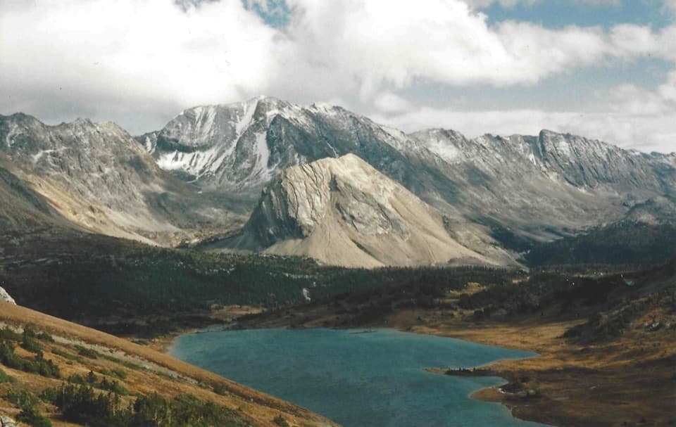
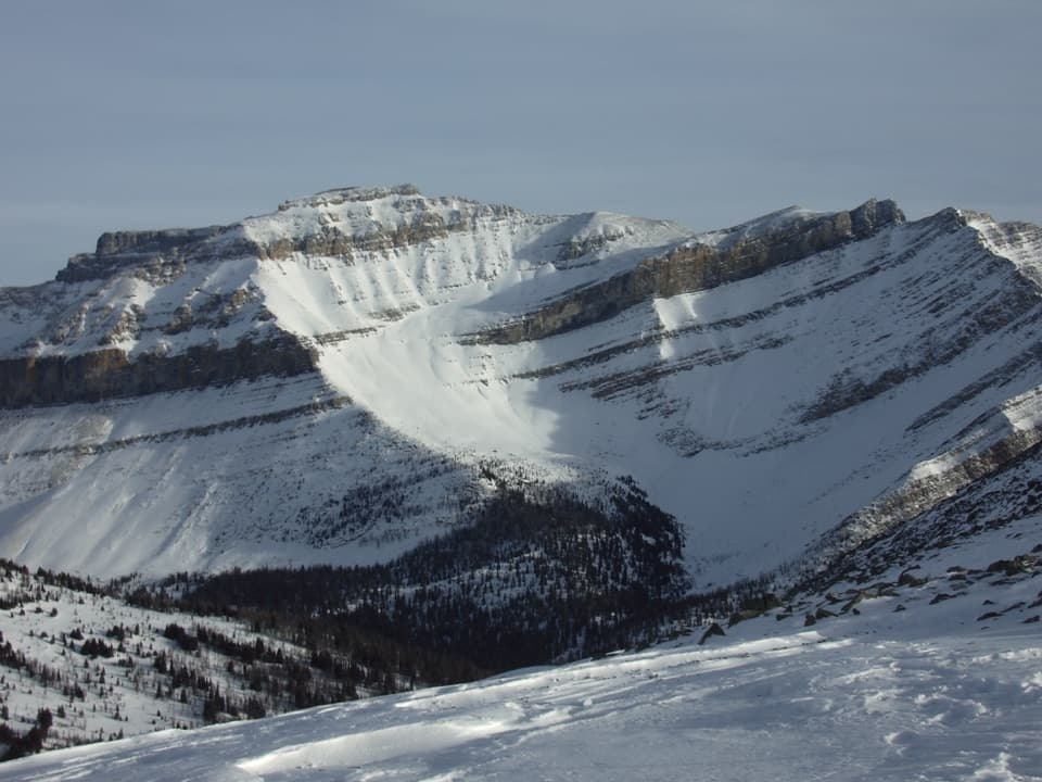
Cross the small creek bridge by the lodge and take the right branch. The route climbs through trees into bouldery subalpine terrain, then traverses above Castilleja Lake as the slope opens toward a rocky plateau. The tread is rougher than the short map distance suggests, with loose rock underfoot and no engineered path over the upper section.

The last climb and the lakeA short chute or scramble leads to Merlin Lake.

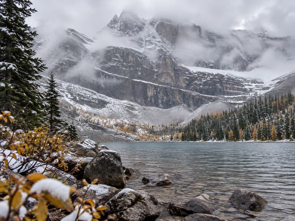
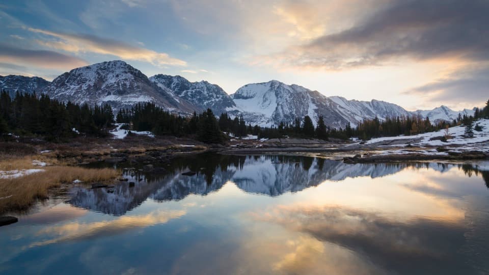
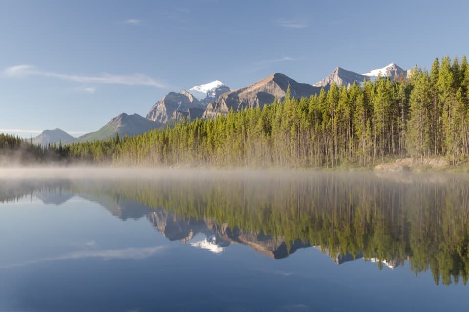
A short chute or scramble leads to Merlin Lake. Route descriptions differ on the bluff: some describe an easy scramble, while another describes a narrow ledge or a direct climb over the rock. Check the terrain before committing, especially when it is wet or snowy, and turn back if the footing or exposure is beyond your comfort. At the shore, the rocky rim frames the lake and surrounding peaks; include some of that foreground if you want a sense of the basin in a photo.

Getting to the startThe Merlin Lake branch begins at Skoki Lodge, well inside the backcountry.

The Merlin Lake branch begins at Skoki Lodge, well inside the backcountry. The road-access lot is at the end of Fish Creek Road by the Lake Louise ski area; Parks Canada says trailhead parking is limited and fills quickly. A lodge itinerary describes a 3.9 km shuttle up Temple Access Road followed by about 14 km on foot to the lodge; if walking from the parking area, account for that access road as well as the long approach, in both directions. Budget this separately from the lake’s 4.9 km return. Overnight backcountry camping requires a reserved Parks Canada permit and site.

Wildlife

Wildlife in Banff

All Banff wildlife maps

Sighting maps show where each species has been reported across Banff. Wildlife moves, so no sighting is guaranteed.

Keep exploring

Near Merlin Lake Trail

See it all on the map

Trails that start nearby

Places near the trailhead

Parkwolf’s Banff ranking

Top-rated trails in Banff

All 162 trails
  1. 1Sentinel Pass via Larch Valley TrailChallenging · 11.2 km
  2. 2Plain of Six Glaciers TrailModerate · 11.6 km
  3. 3Lake Agnes TrailModerate · 7.8 km
  4. 4Johnston Canyon Trail to Upper FallsEasy · 4.8 km
  5. 5Larch Valley / Minnestimma Lakes TrailModerate · 9 km
  6. 6Parker Ridge TrailModerate · 5.6 km

Take Parkwolf to Banff.

The audio tour guide for the drive, plus offline maps, trails, and wildlife heatmaps for when the signal drops.

4.7 from 8,600+ ratings

Download Parkwolf on the App StoreGet Parkwolf on Google Play