Place · 26.4 mi away
Moderate

Expect a classic eastern Banff backcountry experience: broad river-valley walking, big sky, and almost no crowds. Starting near Bighorn Campground by the Ya Ha Tinda Ranch, the route follows the north side of the Red Deer River into Banff’s front ranges. It’s wild and undeveloped—perfect if solitude and open country are your thing.
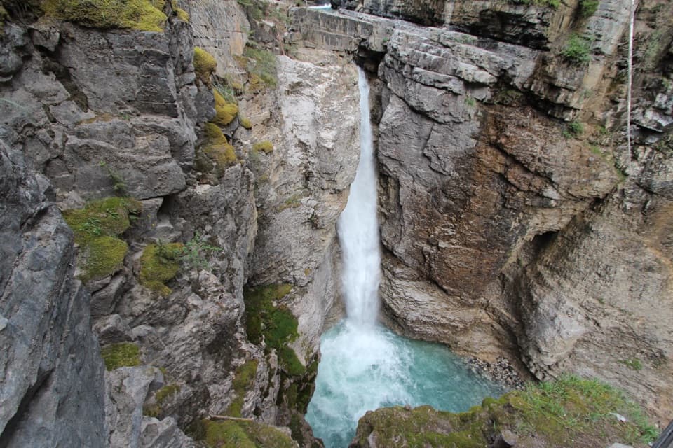
Distance-wise, the commonly hiked section from Bighorn Campground to the Banff National Park boundary is about 13 km (8.1 miles) one way; most day hikers turn it into a 26 km (16.2 miles) out-and-back. The tread is generally easy and rolling, but expect braided sections, mud, and horse traffic. Side spurs add flavor: a steep detour drops to Hidden Falls roughly 4.5 km west along the north bank, and an eastern offshoot climbs to Eagle Viewpoint for sweeping panoramas.
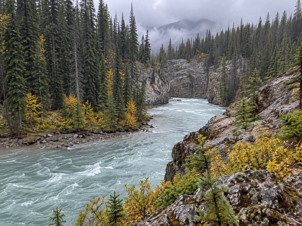
This is novice-to-intermediate terrain on paper, but conditions can dial up the seriousness. There are unbridged creek crossings (notably Bighorn and Scalp Creeks), and depending on your variant, you may have to ford the Red Deer River—especially away from the main north-bank line. Signage is limited, and short stretches may demand route-finding where floodplains erase the path. The corridor is also shared with equestrians.
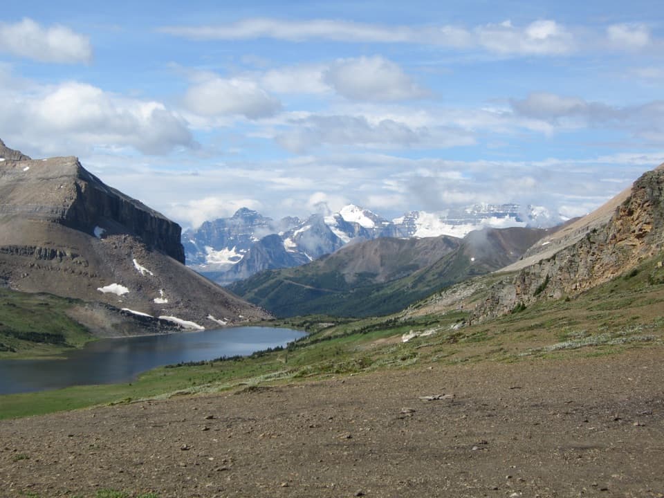
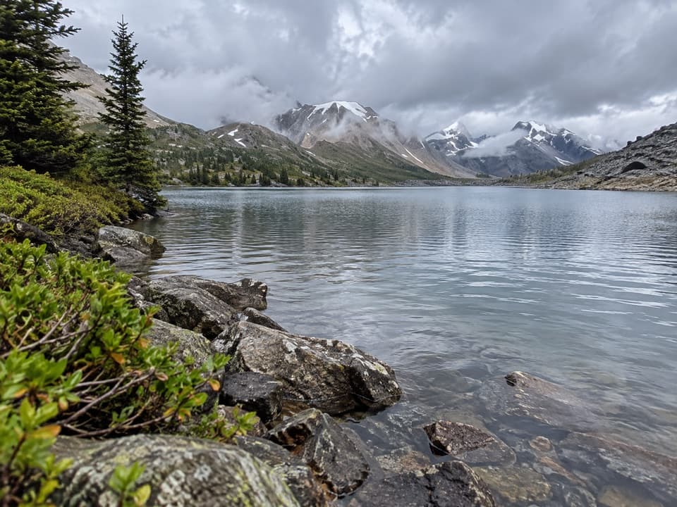
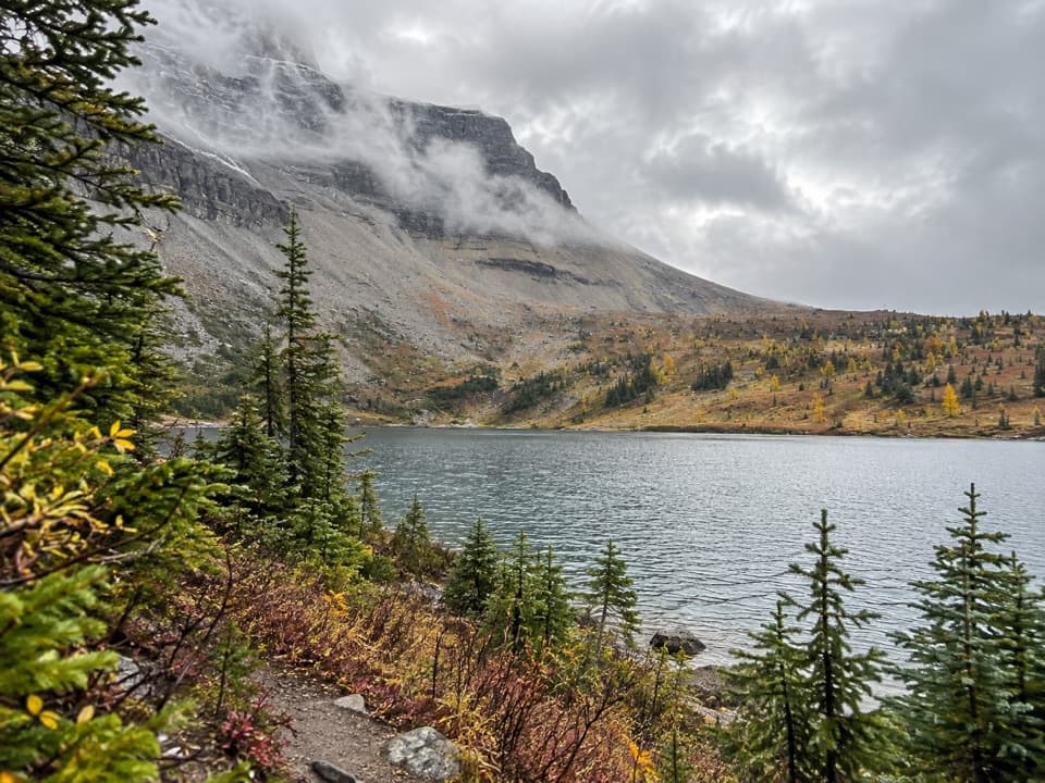
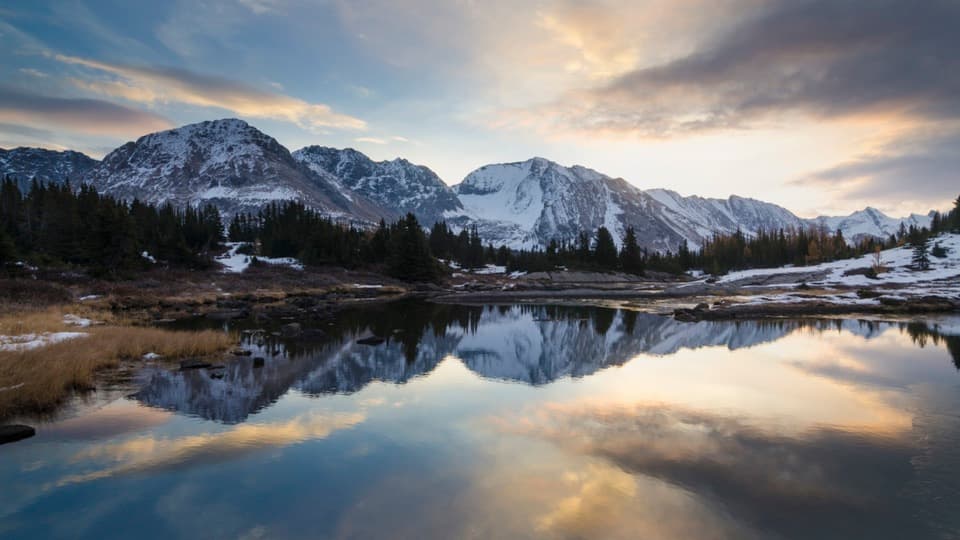
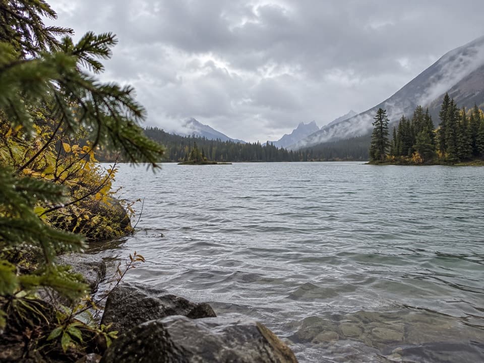
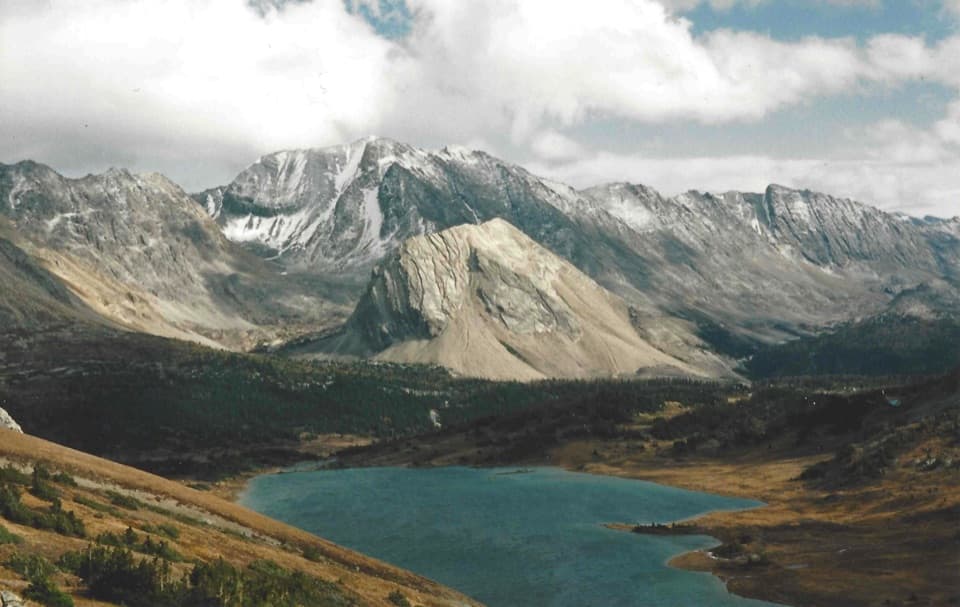
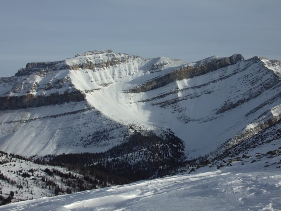
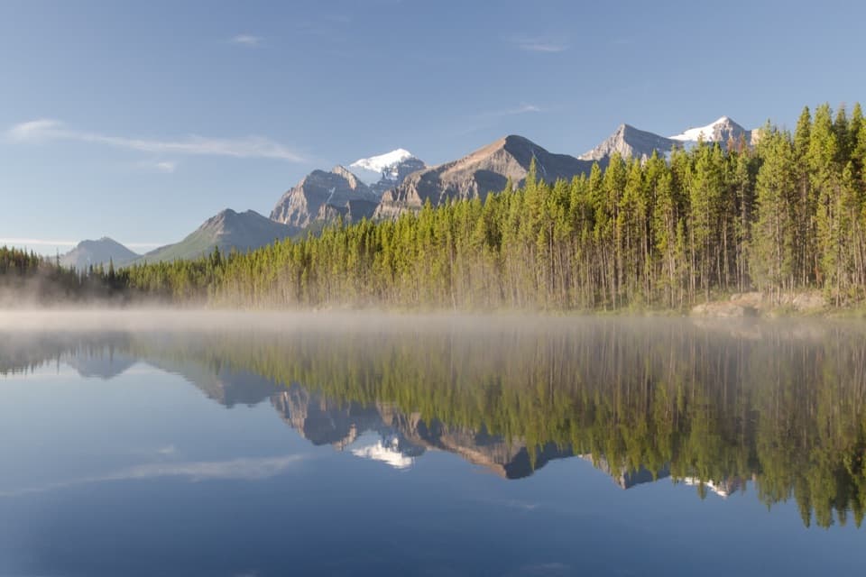
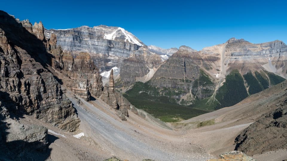
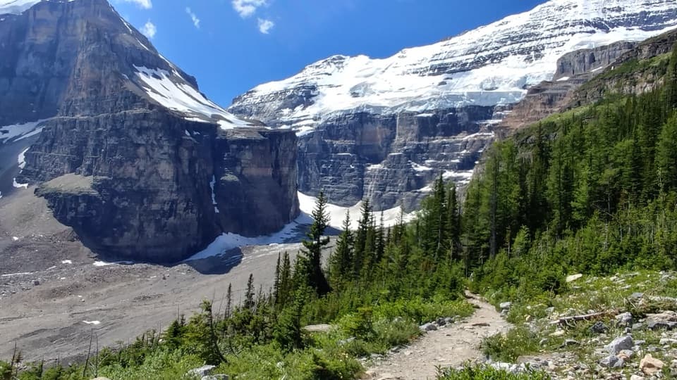
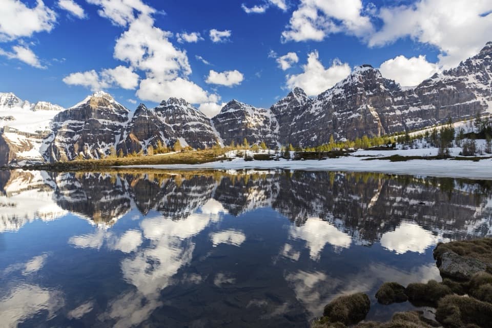
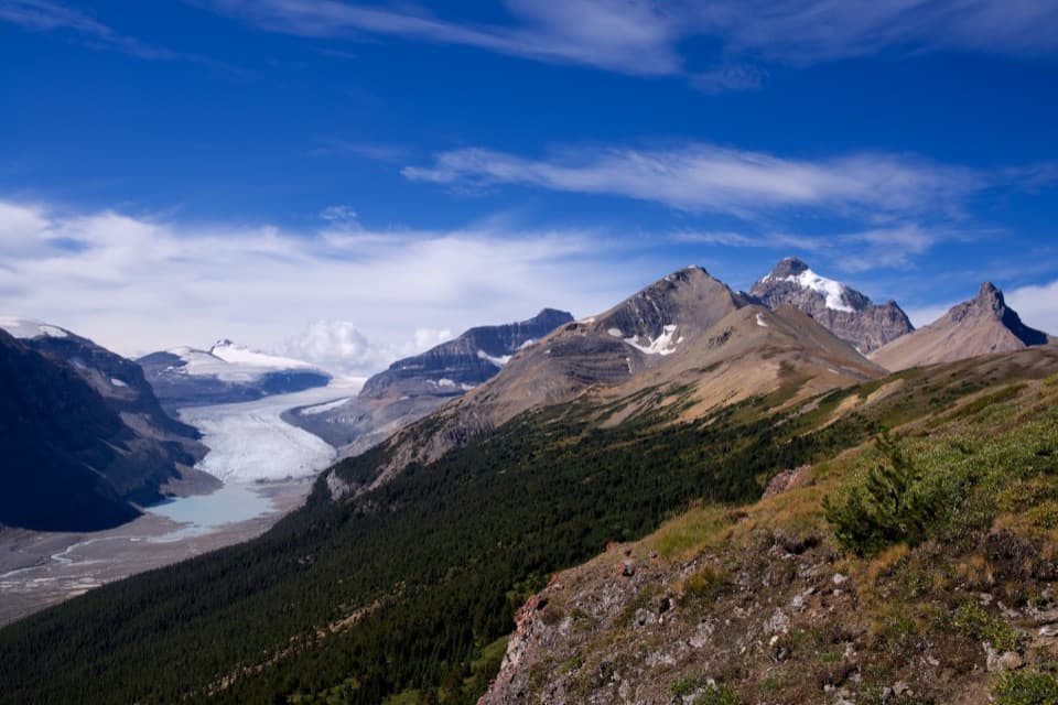
Scenery delivers steady payoff: meadows, lush riparian zones, and rugged limestone-and-shale front-range peaks framing the river. Wildlife is a real presence—this is prime bear country—so travel smart, carry spray, and store food properly.
Best time to hike: late June through September. Early summer runoff can make fords hazardous or impossible; late summer and early fall usually mean lower water and more stable footing, though nights cool quickly. Weekdays see very light use regardless of season, and golden-hour light brings out the contours of the valley.
If you’ve got extra days and strong backcountry chops, this corridor links deeper into Banff’s wild east—some backpackers extend to Scotch Camp via the Red Deer River bridge or push toward multi-day circuits like the Dormer Pass–Panther River loop. Just remember: the farther you go, the fewer signs and the more self-reliance you’ll need.
Tips: carry navigation for flood-damaged sections, be prepared to turn back if water is high, and plan conservative timing—this landscape rewards patience and good judgment.
Park at or near Bighorn Campground in the Ya Ha Tinda Ranch area by the park boundary; this is the common eastern access.
Expect unbridged creek crossings, possible Red Deer River fords, limited signage, and prime bear habitat; early-season runoff or heavy rain can make fords dangerous—turn back if levels are high.