Best time to go
Beartooth Highway generally opens around Memorial Day and closes around October 15, weather permitting. Snow can linger at higher elevations into early or mid-July, so check road conditions before planning this stop.
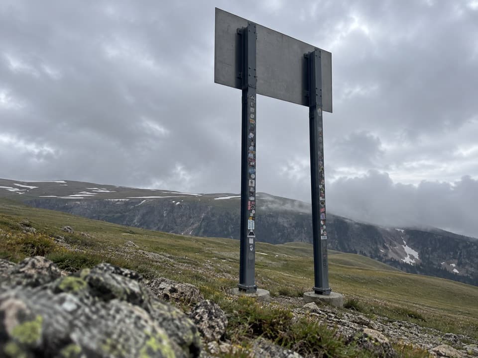
Sight · Beartooth Highway
A quick state-line sign stop on the seasonal Beartooth Highway.
Overview
Map
Plan your stop

The highest, rockiest slopes around here are a summer buffet for grizzly bears.
Beartooth Highway Tour Guide
Parkwolf is a GPS audio tour guide for Beartooth Highway. As you drive, it chimes in with what’s ahead: hidden gems, upcoming stops, history, geology, and wildlife, right through your car’s speakers.
See the Beartooth Highway audio tourRecorded for this area
Line Creek Plateau Trailhead“You're approaching the highway trailhead for Line Creek Plateau, where the trail crosses open alpine tundra. The full route runs nearly eight miles one way to a backcountry junction, with no road pickup there.”
Plays on the road 0.2 mi from Montana-Wyoming State Line Sign in the Parkwolf Beartooth Highway Tour Guide.
More stories near here in the app
“Fantastic app with many points of information… It’s great to just turn on while you’re driving and it gives you an audio tour of the national Park. We love it!!!!”


Guide
This is the Montana welcome sign on the Beartooth Highway near the Montana-Wyoming state-line stop, about 24 road miles south of Red Lodge on US 212. It’s a quick roadside marker and photo pause; the high-country drive is the main event.
It’s a sign, not a viewpoint or visitor facility, so I’d stop only if you’re already driving the pass. A dedicated parking area isn’t confirmed; use a legal pull-off where you can get fully clear of traffic.
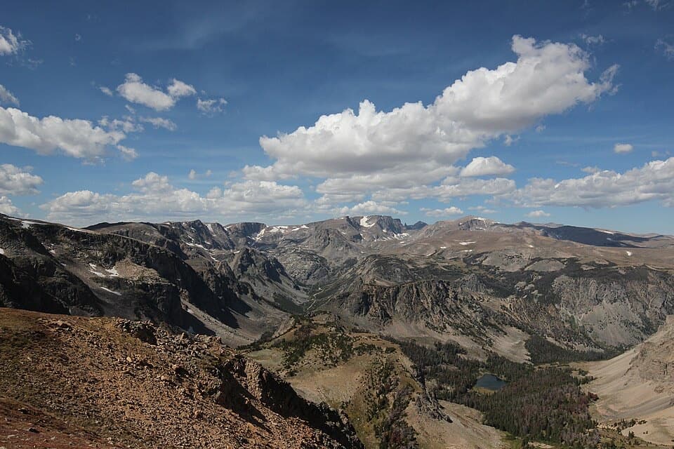
For a photo, include the open slopes and ridge behind the sign; that gives this small marker the high-country context it needs.
Wildlife
 42 sightingsGrizzly BearMost seen around 7 AMSighting map
 22 sightingsGray WolfMost seen around 6 AMSighting map
 49 sightingsBisonMost seen around 6 AMSighting map
 122 sightingsMooseMost seen around 6 AMSighting map
 260 sightingsMountain GoatMost seen around 7 AMSighting map
 16 sightingsBighorn SheepMost seen around 7 PMSighting map
Sighting maps show where each species has been reported across Beartooth Highway. Wildlife moves, so no sighting is guaranteed.
Keep exploring
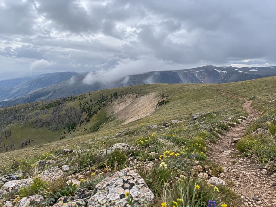 ChallengingLine Creek Plateau Trail7.9 mi · 5 hr · 0.2 mi awayA long, exposed crossing over open alpine tundra.
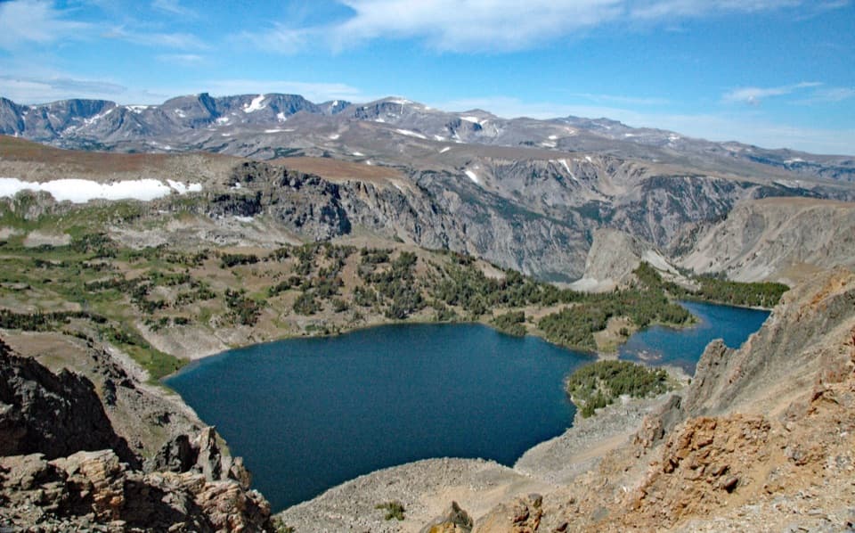 ModerateTwin Lakes Trail1.7 mi · 1.5 hr · 0.5 mi awayA high-country descent to Twin Lakes, then a steep climb back.
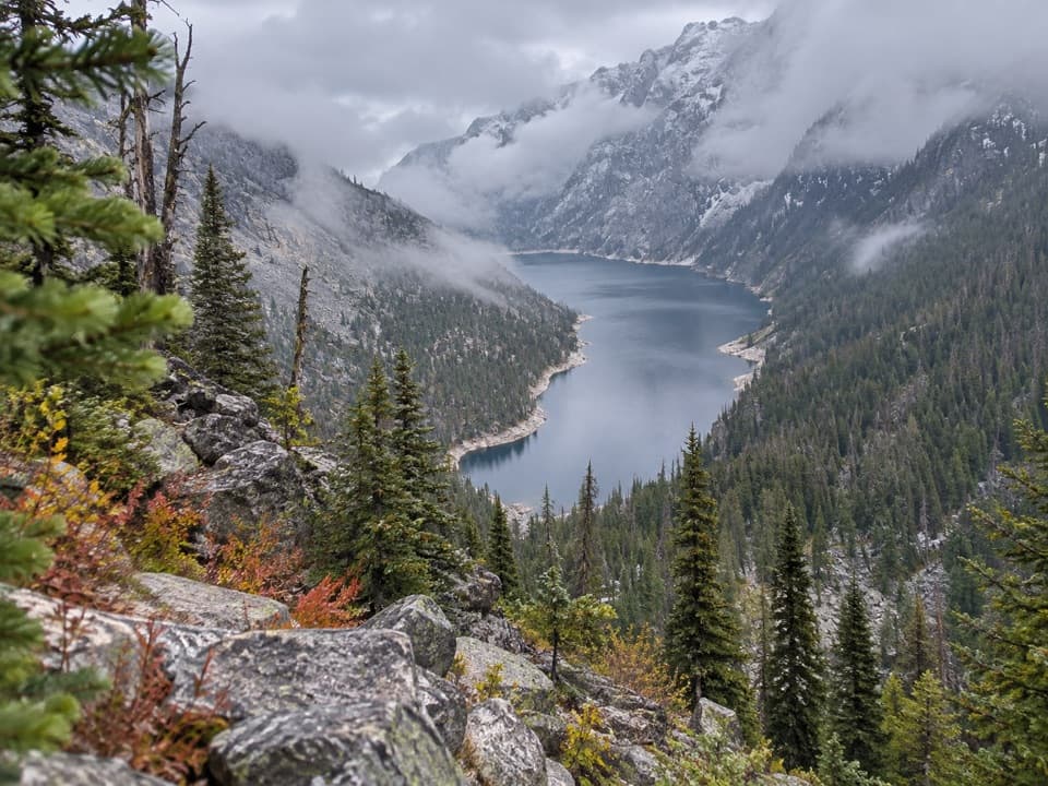 ChallengingDeep Lake Trail15 mi · 10 hr · 1.9 mi awayA hard 15-mile descent and climb to a cliff-ringed alpine lake.
 ModerateGardner Lake Trail1.6 mi · 1.3 hr · 3 mi awayA short lake walk with a steep climb back out.ChallengingBeartooth Loop National Recreation Trail10.9 mi · 5.5 hr · 3.1 mi awayA high-country loop joining Gardner Lake and the steep Beartooth headwall.
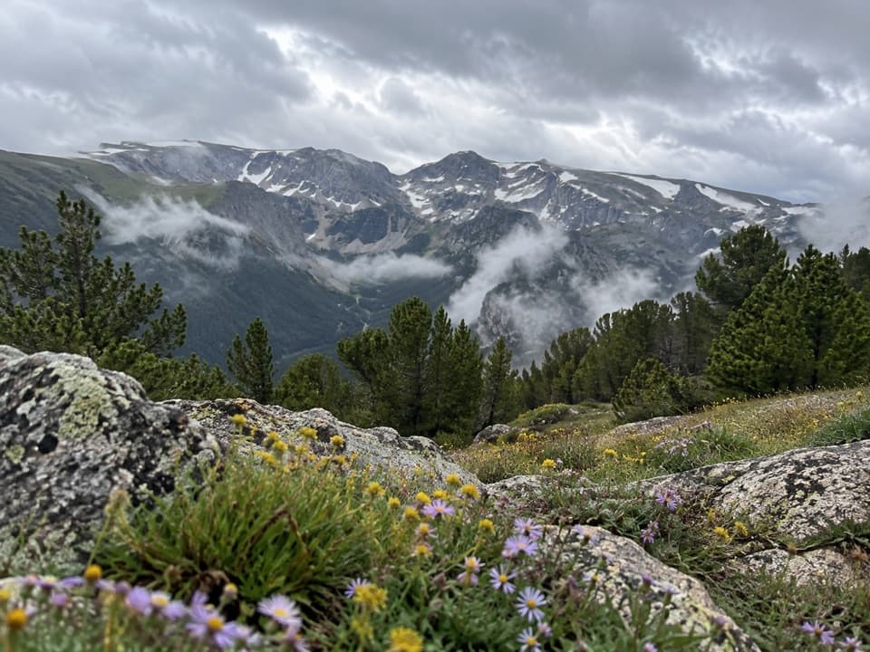 ModerateHellroaring Plateau Trail5.8 mi · 4 hr · 3.1 mi awayFollow an old road to a talus overlook above Shelf Lake.
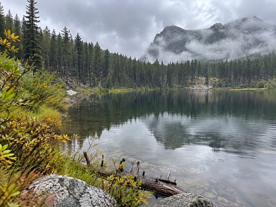 EasyGreenough Lake Trail #103.10.4 mi · 20 min · 3.3 mi awayA quick, gentle walk to a Beartooth lake.
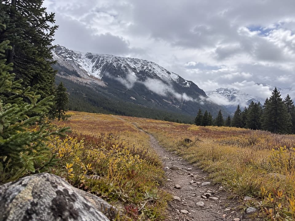 EasyParkside Trail #1032.3 mi · 1.3 hr · 3.8 mi awayA gentle walk through pine woods and meadows between two campgrounds.
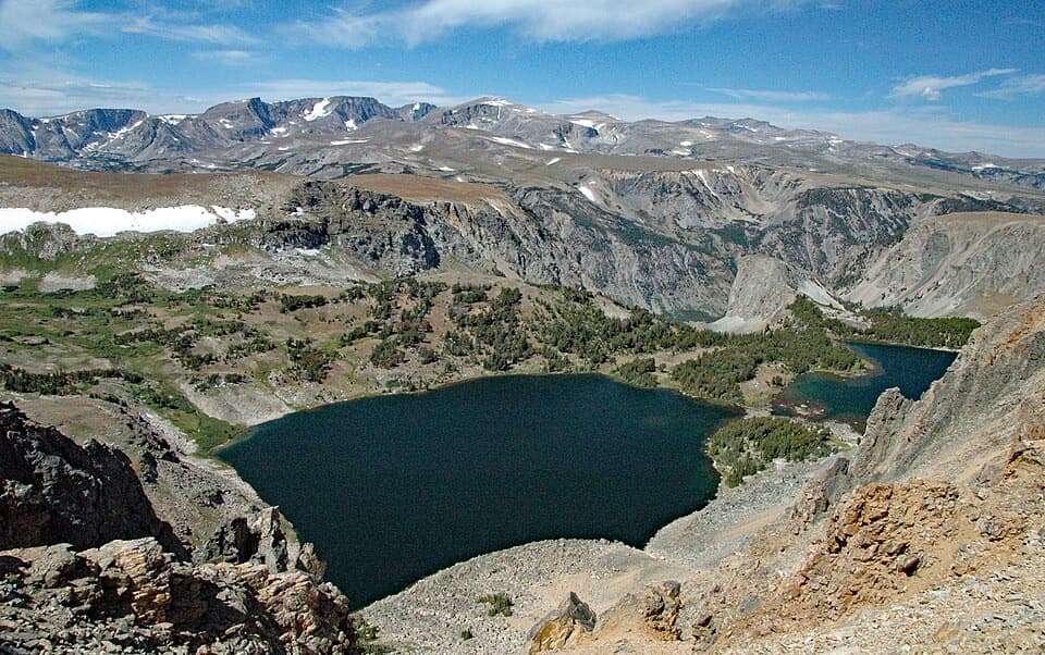 Scenic pullout · 1.4 mi awayTwin Lakes OverlookTwo alpine lakes, seen from above without a hike.
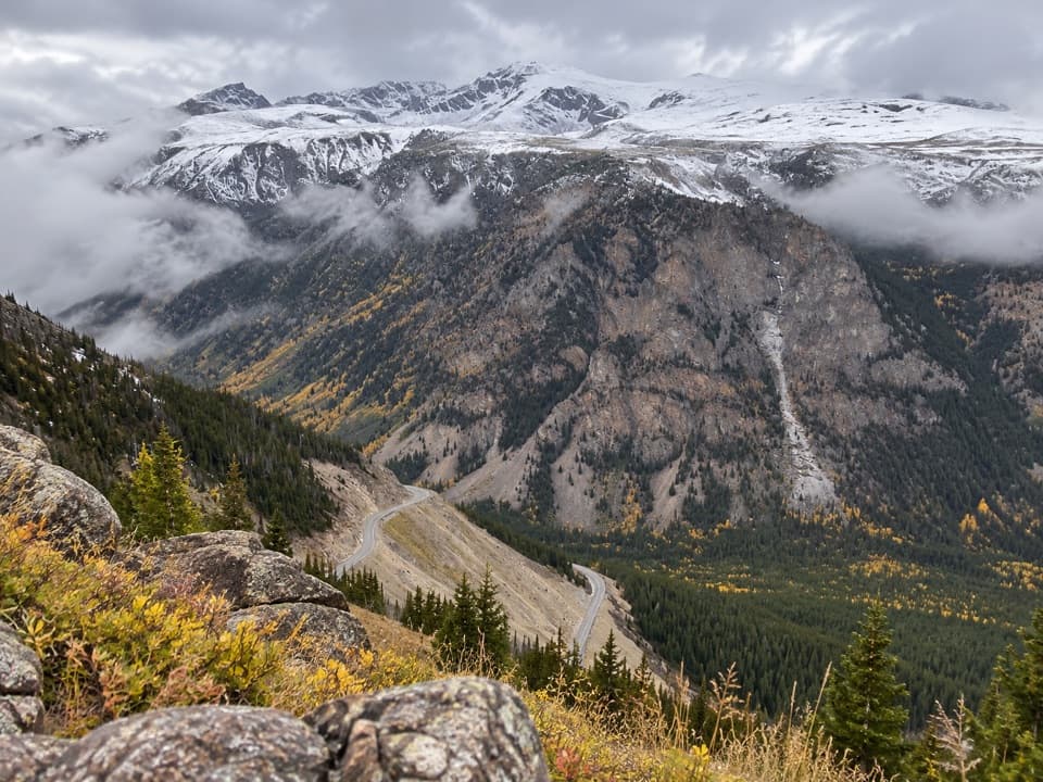 Scenic pullout · 1.5 mi awayQuad Creek Scenic OverlookThe highway curls below you across a wide mountain valley.
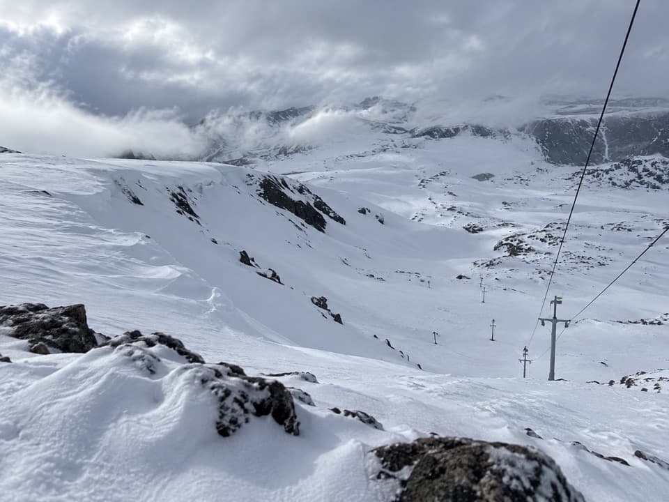 Sight · 2.4 mi awayBeartooth Basin Summer Ski AreaSummer skiing on a steep high-alpine headwall.
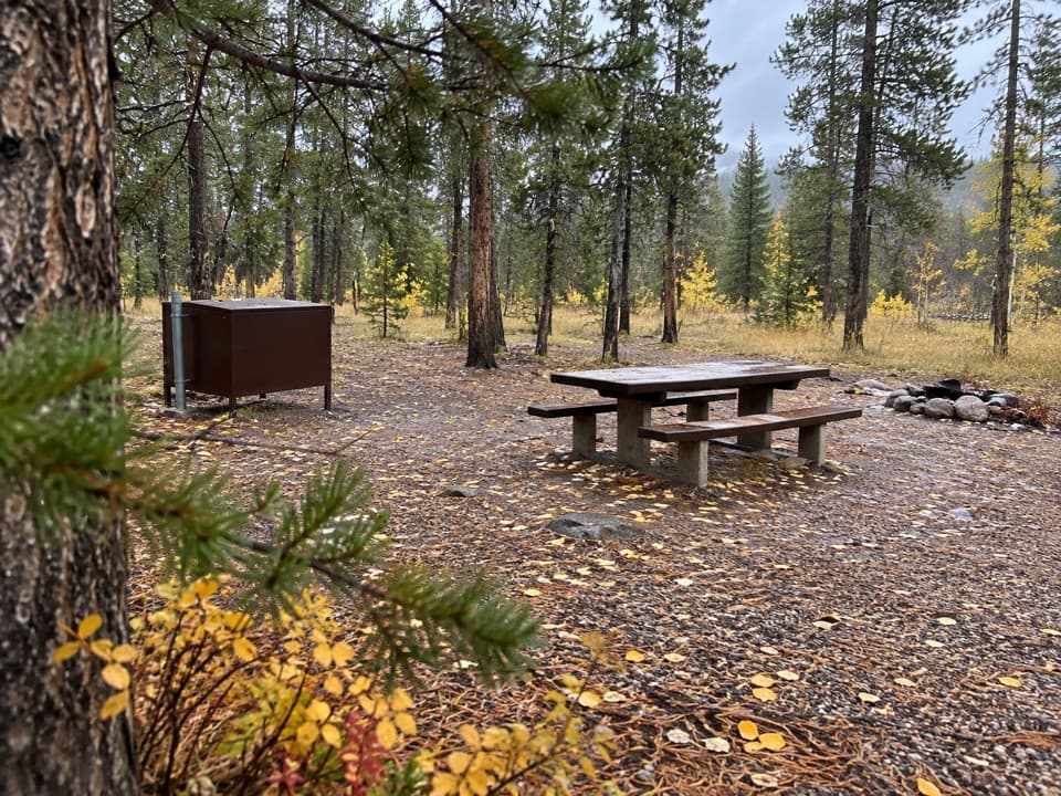 Campground · 2.5 mi awayM-K CampgroundA free creekside campground near Beartooth Highway hikes.
 Sight · 2.7 mi awayRock Creek Vista PointA short paved path opens onto a huge glacial valley.
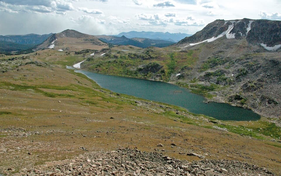 Scenic pullout · 3.1 mi awayGardner Lake OverlookA broad roadside lake view; the shore means a steep climb back.
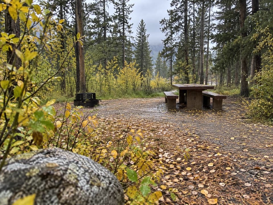 Campground · 3.5 mi awayGreenough Lake CampgroundCreekside camping, with Greenough Lake a short walk away.
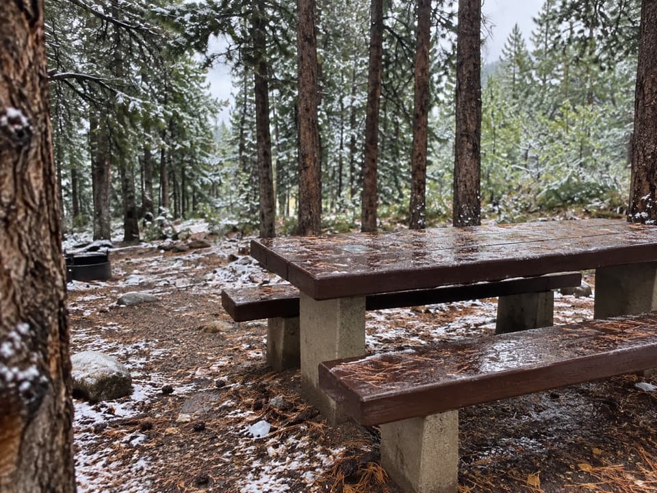 Campground · 3.7 mi awayLimber Pine CampgroundA quiet creekside base below the Beartooth switchbacks.
Parkwolf’s Beartooth Highway ranking

The audio tour guide for the drive, plus offline maps, trails, and wildlife heatmaps for when the signal drops.