Parking
Start at the US 212 access where Tolman Mountain Trail #613.1C begins. A separate named parking lot was not verified.
Beartooth Highway, MT · WY
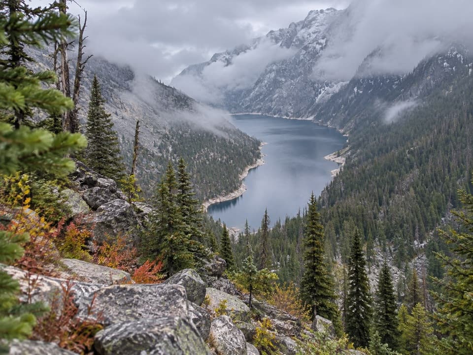
A hard 15-mile descent and climb to a cliff-ringed alpine lake.
Overview
Deep Lake Trail is a hard, high-country out-and-back of about 15 miles round trip from US 212 to a long alpine lake tucked below steep cliffs. It follows Tolman Mountain Trail #613.1C, joins High Line Trail briefly, then descends on Deep Lake Trail #613.1D to the water. Deep Lake is nearly two miles long, but most of its shoreline is hard to reach. This is a full-day effort for hikers set on the lake, not a casual lakeside walk.
 Parkwolf’s verdictIs this the hike for you?
Map & elevation
Plan your hike

The highest, rockiest slopes around here are a summer buffet for grizzly bears.
Beartooth Highway Tour Guide
Parkwolf is a GPS audio tour guide for Beartooth Highway. As you drive, it chimes in with what’s ahead: hidden gems, upcoming stops, history, geology, and wildlife, right through your car’s speakers.
See the Beartooth Highway audio tourRecorded for this trailhead
Deep Lake Highway Trailhead“Ahead is the highway trailhead for Deep Lake, a long lake beneath steep, forested cliffs. Plan on a hard ten-hour hike: fifteen miles out and back, with roughly three thousand feet to climb on the return.”
Plays as you drive up to this trailhead in the Parkwolf Beartooth Highway Tour Guide.
More stories near here in the app
“Fantastic app with many points of information… It’s great to just turn on while you’re driving and it gives you an audio tour of the national Park. We love it!!!!”


Trail guide
Several routes reach different parts of Deep Lake; this route uses the US 212 access at the start of Tolman Mountain Trail #613.1C. Follow it to High Line Trail, take the short connector, then turn onto #613.1D and descend to the shore. Keep that junction sequence clear: the tread is faint in spots, and a missed turn has sent hikers over extra ridges. This is an out-and-back, so save energy for the long climb back to the highway.
The trailhead is already above 10,000 feet. From there, the route drops roughly 3,000 feet to the lake, then climbs it back on the return. The final stretch is steep and rough, and the elevation makes the climb out feel longer than the descent in. Allow about 10 hours and plan this as your main hike of the day.
The lake stretches nearly two miles between steep, forested cliffs, with only a little shoreline accessible. A lookout about halfway down gives the best elevated view of the basin; pause there to take in the whole lake before the final descent. The last roughly 100 yards to the water is a steep scramble, so this is not a stroll along an easy lakeshore.
By 2023, Powell resident Jess Blough had hiked to Deep Lake nearly every year for 58 years, and shared the outing with his granddaughter. It is the kind of place people return to for the lake itself, despite the long approach and hard climb back.
Wildlife
 42 sightingsGrizzly BearMost seen around 7 AMSighting map
 22 sightingsGray WolfMost seen around 6 AMSighting map
 49 sightingsBisonMost seen around 6 AMSighting map
 122 sightingsMooseMost seen around 6 AMSighting map
 260 sightingsMountain GoatMost seen around 7 AMSighting map
 16 sightingsBighorn SheepMost seen around 7 PMSighting map
Sighting maps show where each species has been reported across Beartooth Highway. Wildlife moves, so no sighting is guaranteed.
Keep exploring
 ModerateGardner Lake Trail1.6 mi · 1.3 hr · 1.4 mi awayA short lake walk with a steep climb back out.ChallengingBeartooth Loop National Recreation Trail10.9 mi · 5.5 hr · 1.4 mi awayA high-country loop joining Gardner Lake and the steep Beartooth headwall.
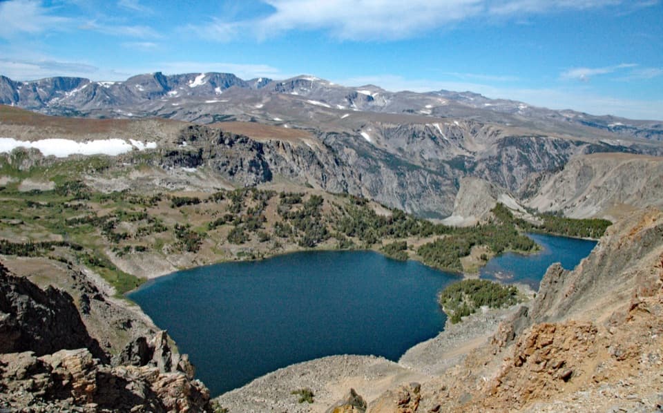 ModerateTwin Lakes Trail1.7 mi · 1.5 hr · 1.4 mi awayA high-country descent to Twin Lakes, then a steep climb back.
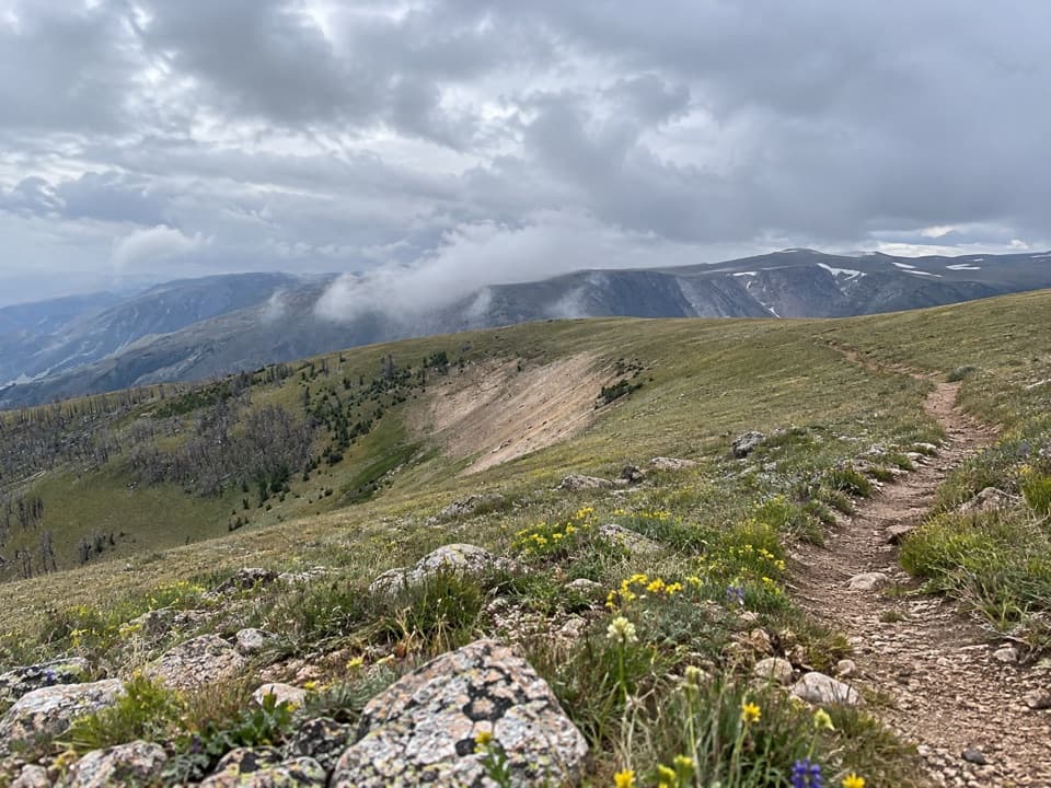 ChallengingLine Creek Plateau Trail7.9 mi · 5 hr · 2.1 mi awayA long, exposed crossing over open alpine tundra.
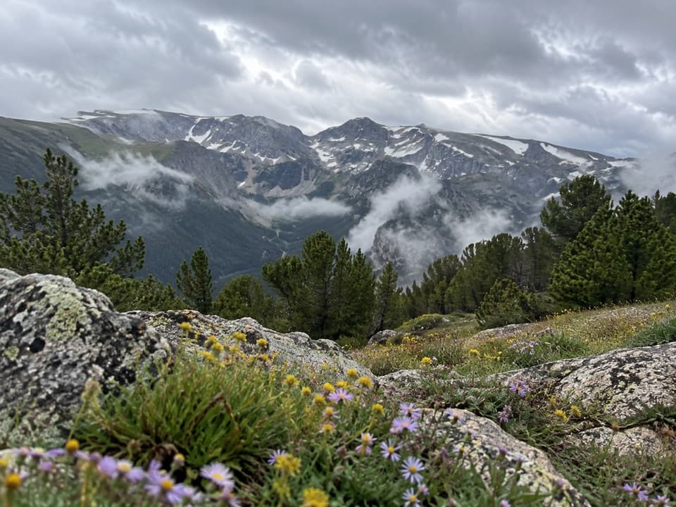 ModerateHellroaring Plateau Trail5.8 mi · 4 hr · 4.1 mi awayFollow an old road to a talus overlook above Shelf Lake.
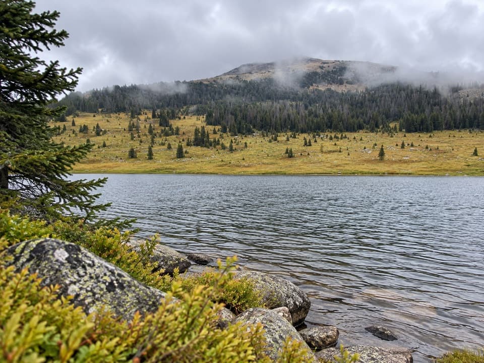 ModerateHauser, Stockade and Losekamp Lakes Trail6.7 mi · 3.5 hr · 4.2 mi awayThree high-country lakes make the extra walking count.
 ChallengingGlacier Lake Trail4.4 mi · 3.3 hr · 4.6 mi awayA steep climb to an alpine lake tucked into the Beartooths.
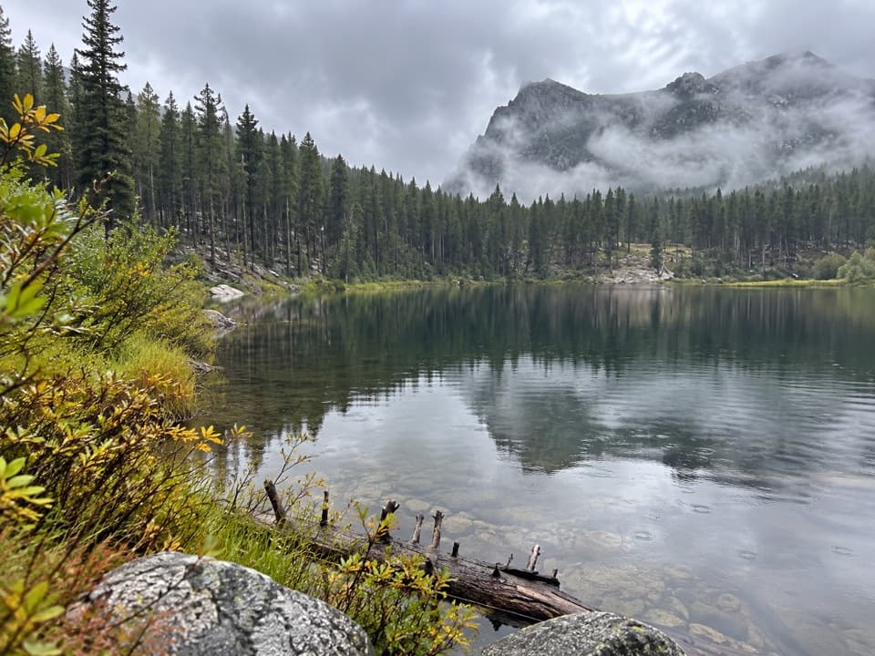 EasyGreenough Lake Trail #103.10.4 mi · 20 min · 5 mi awayA quick, gentle walk to a Beartooth lake.
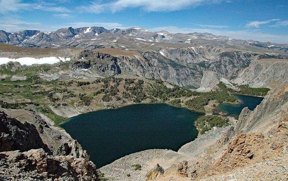 Scenic pullout · 0.5 mi awayTwin Lakes OverlookTwo alpine lakes, seen from above without a hike.
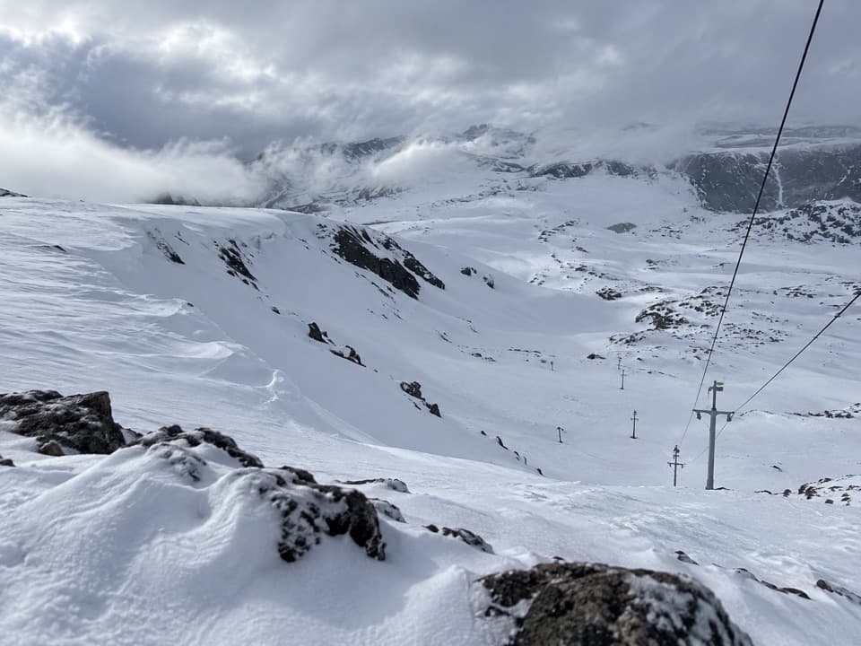 Sight · 0.6 mi awayBeartooth Basin Summer Ski AreaSummer skiing on a steep high-alpine headwall.
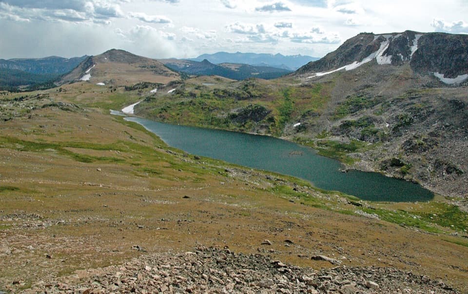 Scenic pullout · 1.4 mi awayGardner Lake OverlookA broad roadside lake view; the shore means a steep climb back.
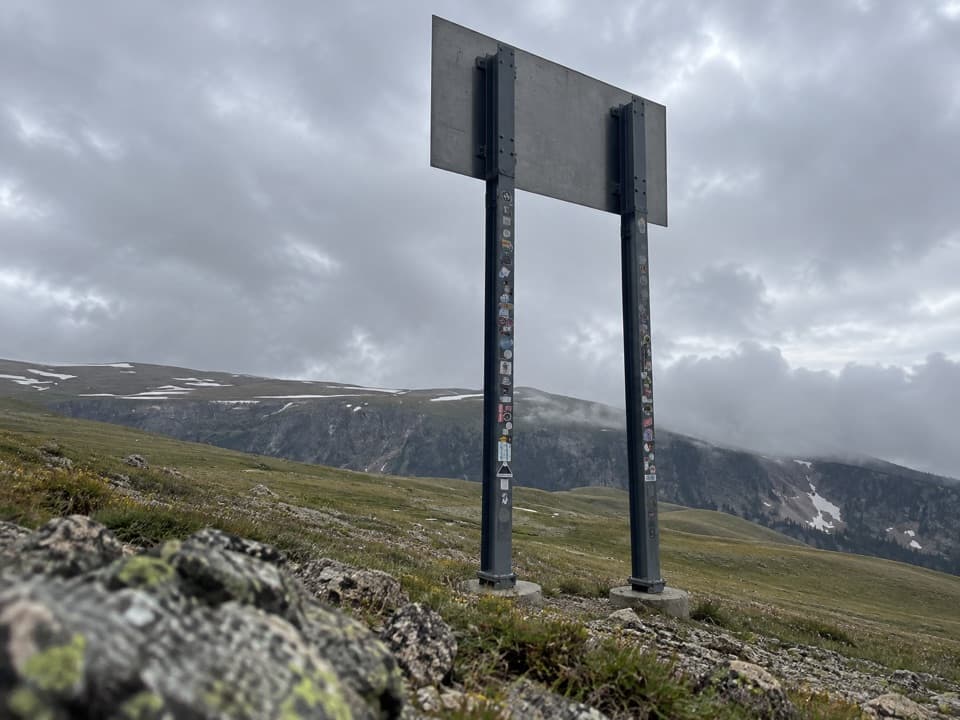 Sight · 1.9 mi awayMontana-Wyoming State Line SignA quick state-line sign stop on the seasonal Beartooth Highway.
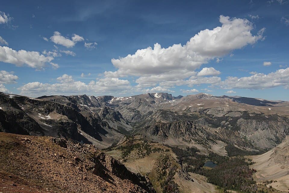 Sight · 2.5 mi awayBeartooth Pass VistaA high-alpine summit stop for open views, lingering snow and wildflowers.
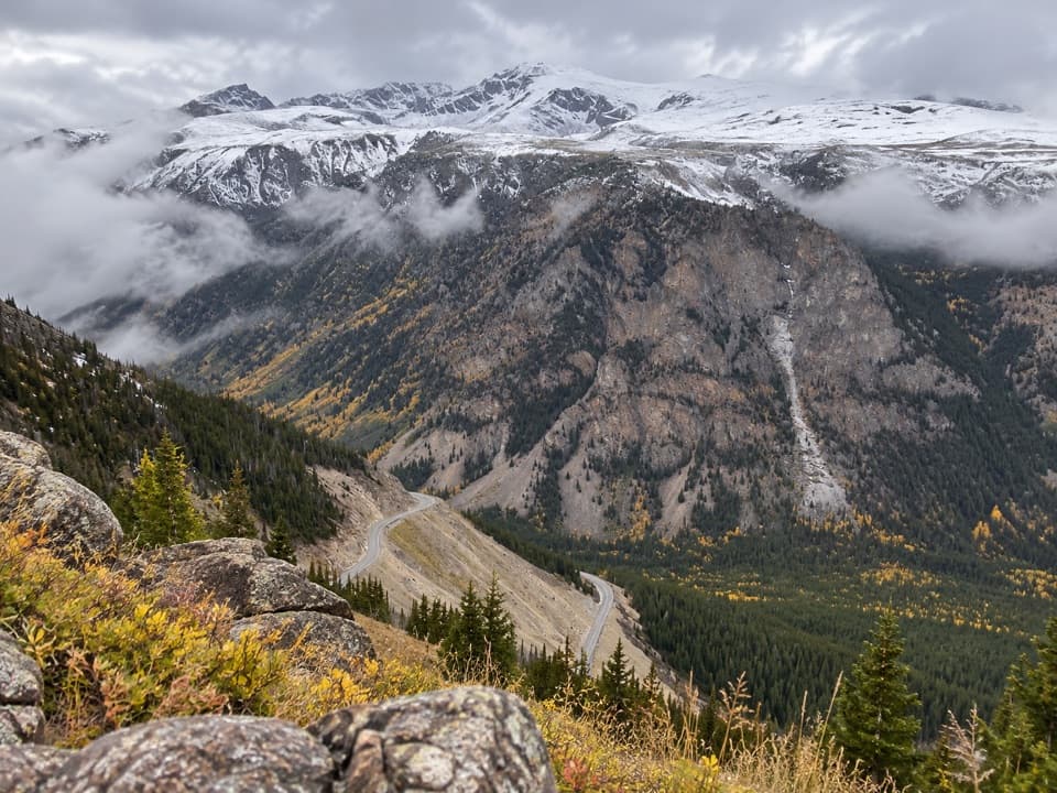 Scenic pullout · 3.3 mi awayQuad Creek Scenic OverlookThe highway curls below you across a wide mountain valley.
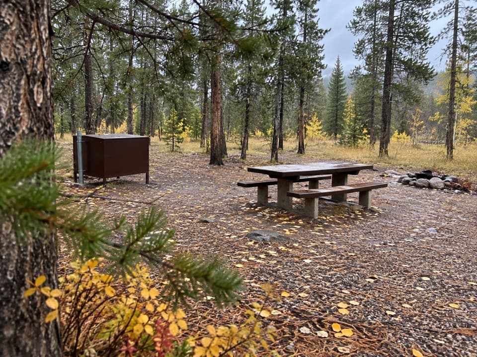 Campground · 3.9 mi awayM-K CampgroundA free creekside campground near Beartooth Highway hikes.
 Sight · 4.4 mi awayRock Creek Vista PointA short paved path opens onto a huge glacial valley.
Parkwolf’s Beartooth Highway ranking
The audio tour guide for the drive, plus offline maps, trails, and wildlife heatmaps for when the signal drops.


