Parking
A trailhead parking point is listed at the western Beartooth Highway access near the Wyoming line. No formal Forest Service trailhead is recorded close by, and the parking area size and capacity aren’t documented.
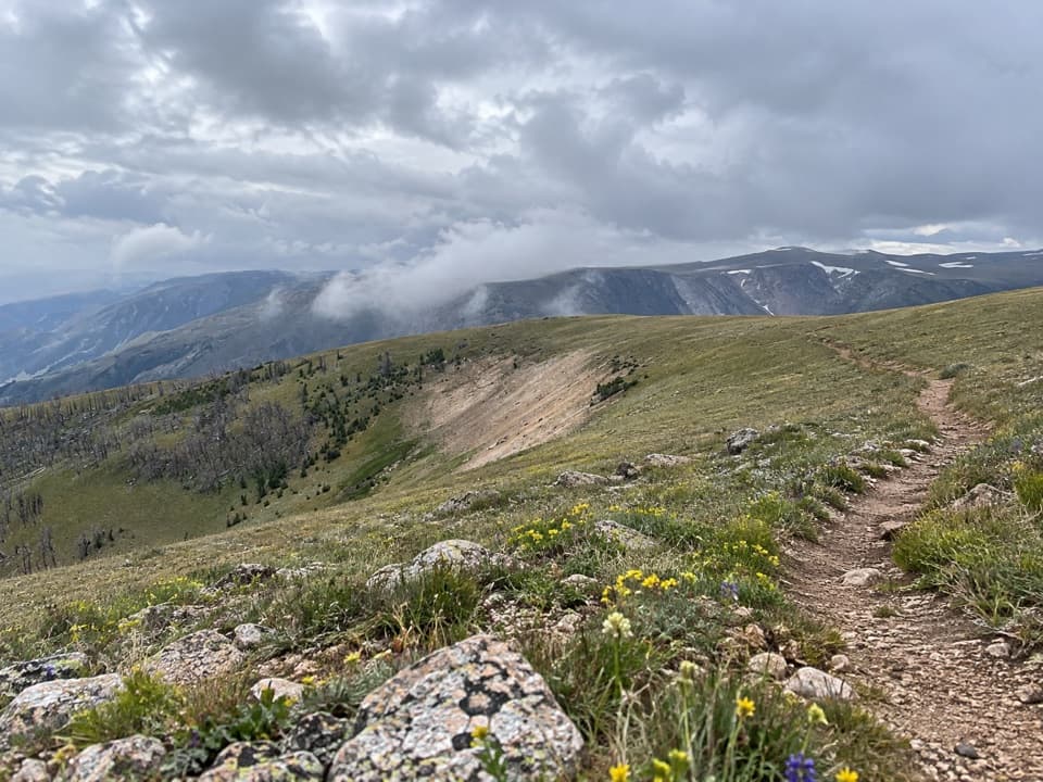
Beartooth Highway, MT · WY
A long, exposed crossing over open alpine tundra.
Overview
Map & elevation
Plan your hike

The highest, rockiest slopes around here are a summer buffet for grizzly bears.
Beartooth Highway Tour Guide
Parkwolf is a GPS audio tour guide for Beartooth Highway. As you drive, it chimes in with what’s ahead: hidden gems, upcoming stops, history, geology, and wildlife, right through your car’s speakers.
See the Beartooth Highway audio tourRecorded for this trailhead
Line Creek Plateau Trailhead“You're approaching the highway trailhead for Line Creek Plateau, where the trail crosses open alpine tundra. The full route runs nearly eight miles one way to a backcountry junction, with no road pickup there.”
Plays as you drive up to this trailhead in the Parkwolf Beartooth Highway Tour Guide.
More stories near here in the app
“Fantastic app with many points of information… It’s great to just turn on while you’re driving and it gives you an audio tour of the national Park. We love it!!!!”


Trail guide
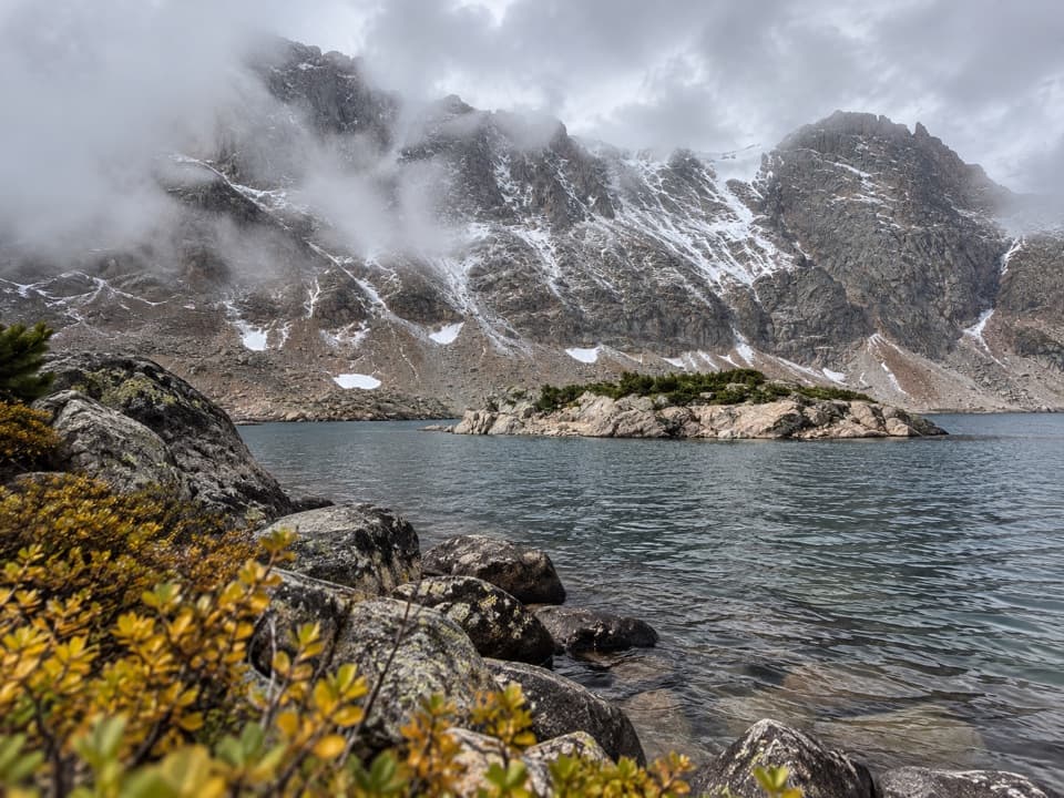
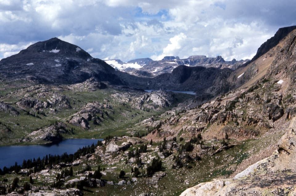
The 7.9-mile one-way Line Creek Plateau Trail starts at roadside access on Beartooth Highway and ends at the junction of Mount Maurice and North Line Creek. It crosses open alpine tundra for broad high-country views. The far end is a backcountry junction, not a road.
With a ride waiting at the junction, allow about five hours for the traverse. Without a ride, turn around there and retrace the trail: about 15.7 miles total, a much bigger day. Continuing down the separate Mount Maurice Trail to East Side Road makes a roughly 15.9-mile through route and needs its own shuttle plan; that lower trail is not part of the line mapped here.
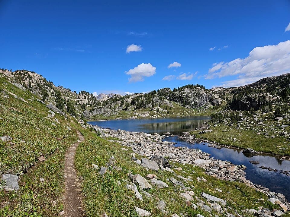
This is native tread, typically 18–24 inches wide, with a usual grade around 8–10%. The route stays high, roughly 9,400–10,130 feet, and rolls across open ground rather than climbing to a single summit. Some reports on the longer combined corridor describe rocky, grassy stretches and a faint tread, so don't count on a broad, obvious path all the way across. The open plateau is the draw, but it leaves little shelter when weather changes.
Wildlife
 42 sightingsGrizzly BearMost seen around 7 AMSighting map
 22 sightingsGray WolfMost seen around 6 AMSighting map
 49 sightingsBisonMost seen around 6 AMSighting map
 122 sightingsMooseMost seen around 6 AMSighting map
 260 sightingsMountain GoatMost seen around 7 AMSighting map
 16 sightingsBighorn SheepMost seen around 7 PMSighting map
Sighting maps show where each species has been reported across Beartooth Highway. Wildlife moves, so no sighting is guaranteed.
Keep exploring
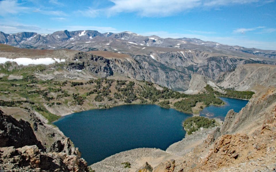 ModerateTwin Lakes Trail1.7 mi · 1.5 hr · 0.8 mi awayA high-country descent to Twin Lakes, then a steep climb back.
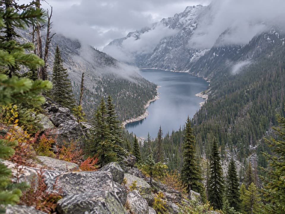 ChallengingDeep Lake Trail15 mi · 10 hr · 2.1 mi awayA hard 15-mile descent and climb to a cliff-ringed alpine lake.
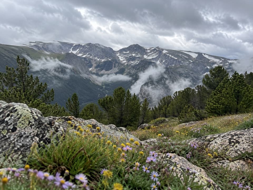 ModerateHellroaring Plateau Trail5.8 mi · 4 hr · 3.1 mi awayFollow an old road to a talus overlook above Shelf Lake.
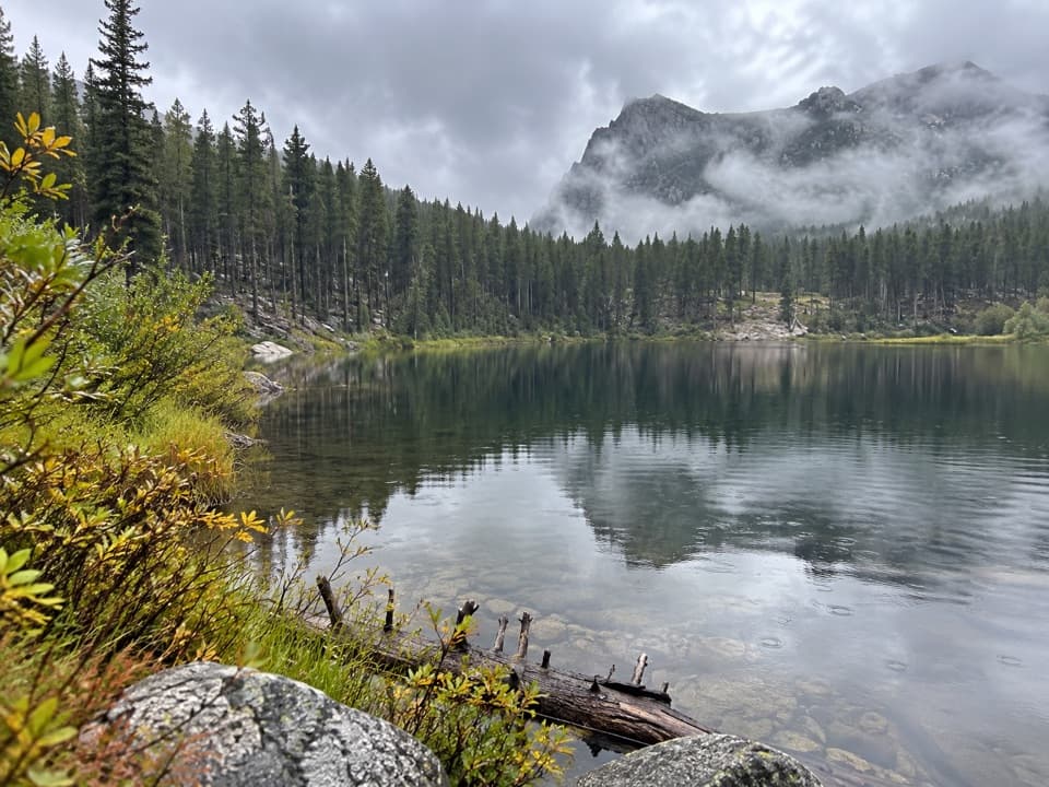 EasyGreenough Lake Trail #103.10.4 mi · 20 min · 3.2 mi awayA quick, gentle walk to a Beartooth lake.
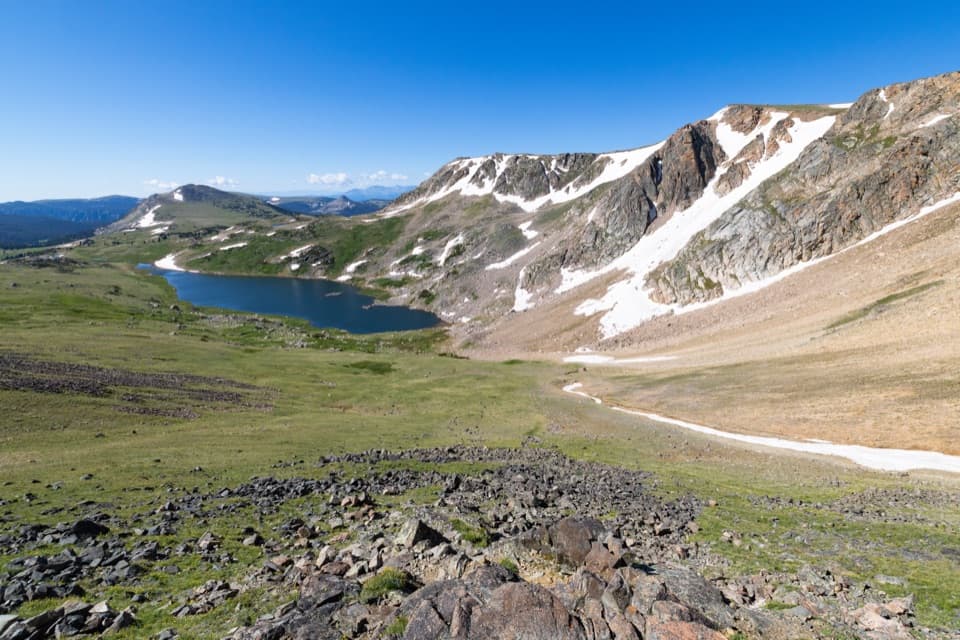 ModerateGardner Lake Trail1.6 mi · 1.3 hr · 3.3 mi awayA short lake walk with a steep climb back out.ChallengingBeartooth Loop National Recreation Trail10.9 mi · 5.5 hr · 3.3 mi awayA high-country loop joining Gardner Lake and the steep Beartooth headwall.
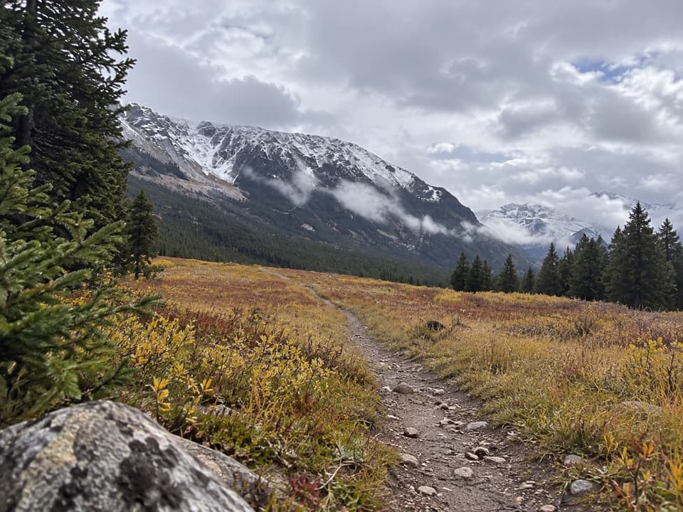 EasyParkside Trail #1032.3 mi · 1.3 hr · 3.7 mi awayA gentle walk through pine woods and meadows between two campgrounds.
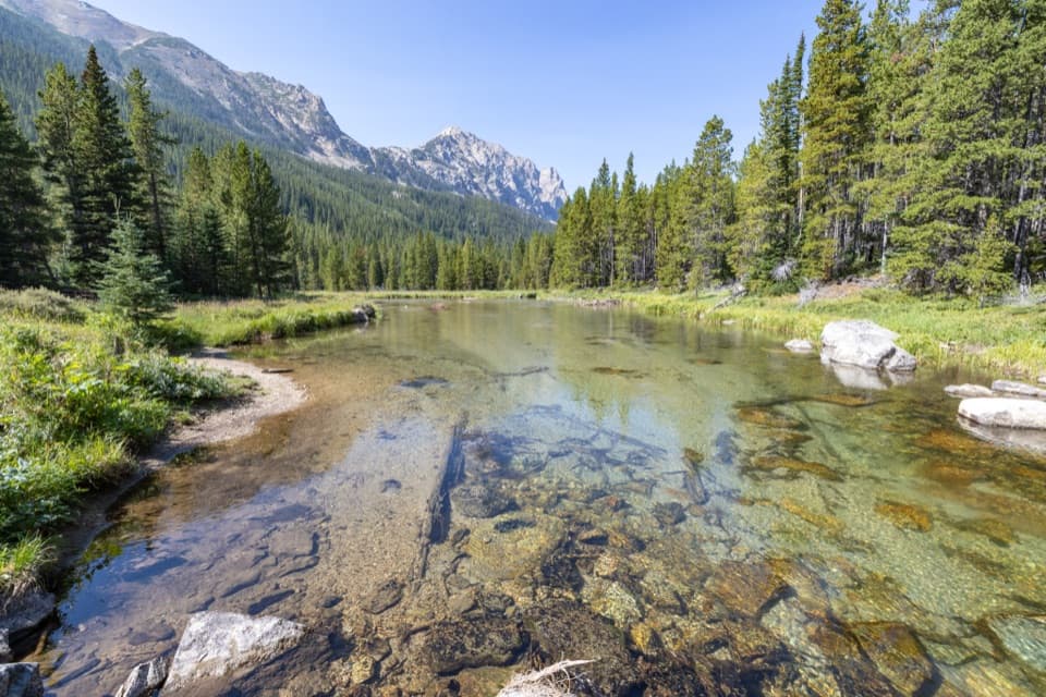 ModerateBroadwater Lake via Lake Fork Trail7.5 mi · 4 hr · 5 mi awayA creekside ramble ends in Broadwater's open mountain meadows.
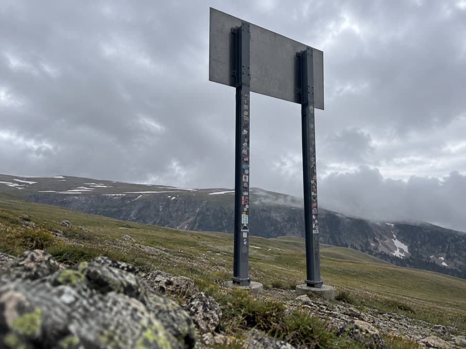 Sight · 0.2 mi awayMontana-Wyoming State Line SignA quick state-line sign stop on the seasonal Beartooth Highway.
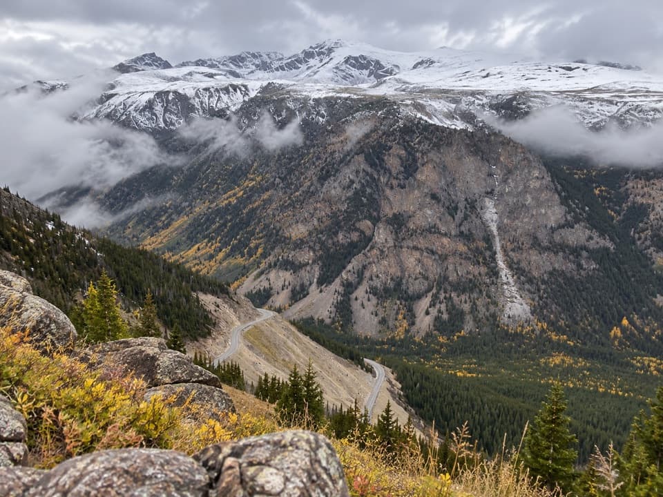 Scenic pullout · 1.4 mi awayQuad Creek Scenic OverlookThe highway curls below you across a wide mountain valley.
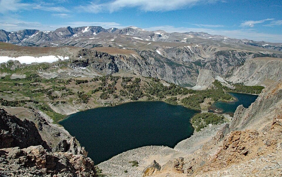 Scenic pullout · 1.6 mi awayTwin Lakes OverlookTwo alpine lakes, seen from above without a hike.
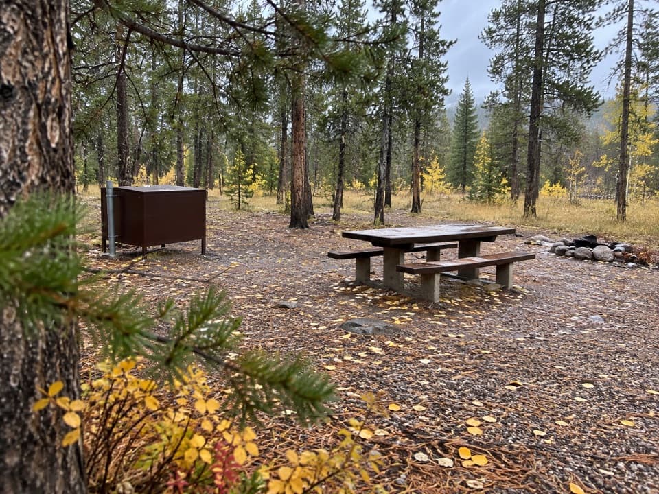 Campground · 2.4 mi awayM-K CampgroundA free creekside campground near Beartooth Highway hikes.
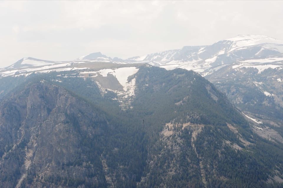 Sight · 2.5 mi awayRock Creek Vista PointA short paved path opens onto a huge glacial valley.
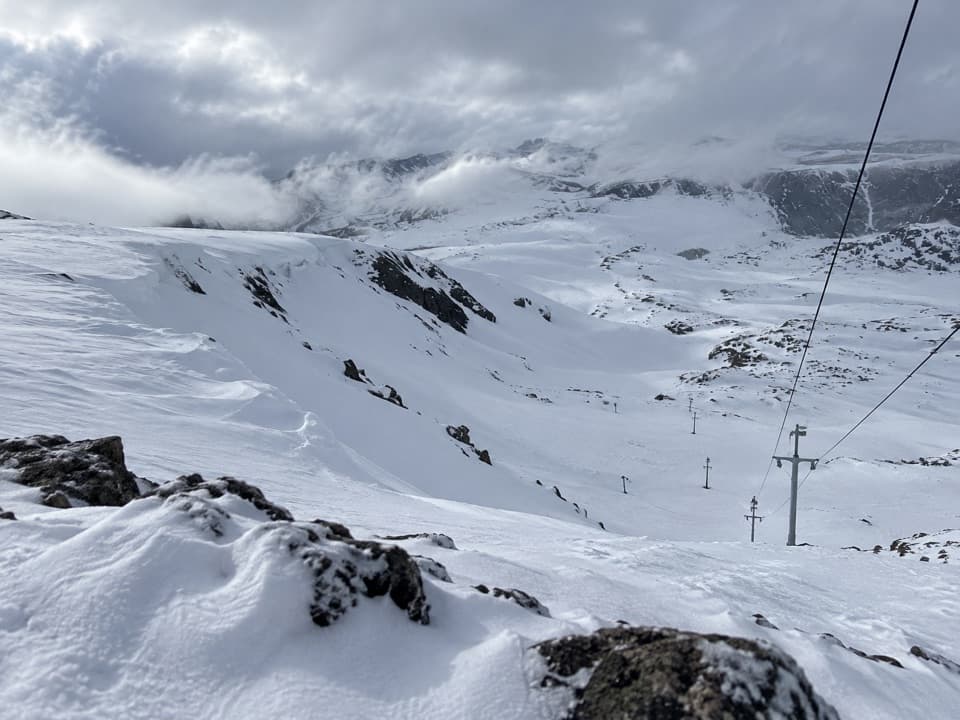 Sight · 2.6 mi awayBeartooth Basin Summer Ski AreaSummer skiing on a steep high-alpine headwall.
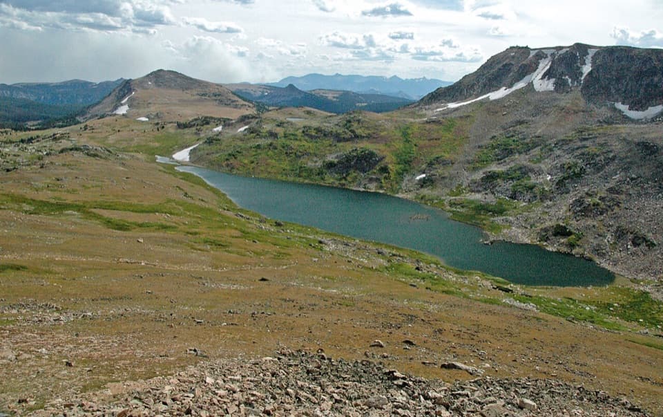 Scenic pullout · 3.3 mi awayGardner Lake OverlookA broad roadside lake view; the shore means a steep climb back.
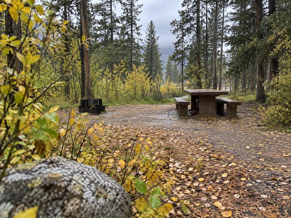 Campground · 3.4 mi awayGreenough Lake CampgroundCreekside camping, with Greenough Lake a short walk away.
Parkwolf’s Beartooth Highway ranking

The audio tour guide for the drive, plus offline maps, trails, and wildlife heatmaps for when the signal drops.