Parking
From US 212, turn west onto Lake Fork Road (Forest Road 2346) and drive 1.9 miles to Lake Fork Trailhead 2. The Forest Service describes ample parking, including room for horse trailers, and a vault toilet.
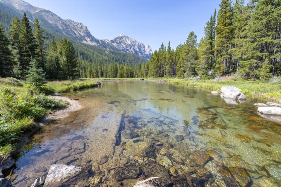
Beartooth Highway, MT · WY
A long creekside out-and-back to a high lake beneath Peak 10,913.
Overview
Lost Lake via Lake Fork is a 10.6-mile out-and-back from Lake Fork Trailhead 2, following Lake Fork Trail #2 to the Lost Lake junction and then taking the #2B spur. The long approach starts beside a creek, opens into meadows and a waterfall, then passes Broadwater Lake before a steeper final climb to Lost Lake. Expect about 1,350 feet of climbing and around six hours with time to stop. Go for the progression from forested river valley to high lake; remember that every mile of the approach comes again on the way back.
 Parkwolf’s verdictIs this the hike for you?
Map & elevation
Plan your hike

The highest, rockiest slopes around here are a summer buffet for grizzly bears.
Beartooth Highway Tour Guide
Parkwolf is a GPS audio tour guide for Beartooth Highway. As you drive, it chimes in with what’s ahead: hidden gems, upcoming stops, history, geology, and wildlife, right through your car’s speakers.
See the Beartooth Highway audio tourRecorded for this trailhead
Lake Fork Road: Broadwater Lake“You're nearing Lake Fork Road, the access for a creekside hike to Broadwater Lake. The trailhead is one point nine miles up the road from the highway.”
Plays as you drive up to this trailhead in the Parkwolf Beartooth Highway Tour Guide.
More stories near here in the app
“Fantastic app with many points of information… It’s great to just turn on while you’re driving and it gives you an audio tour of the national Park. We love it!!!!”


Trail guide
The trail crosses a bridge to the south side of the Lake Fork of Rock Creek and follows the water on mostly rolling, fairly gentle grades. Around 1.2 miles, meadows open the view toward the cliffs of Silver Run Plateau, with Thunder Mountain and Whitetail Peak above the valley. A waterfall comes into view at about 2.75 miles. Broadwater Lake arrives around mile 3.75, with an open meadow at its east end and a wider look west toward the peaks.
Past Broadwater, the grade gets steeper. Around mile 4 the route crosses an avalanche chute, then winds through thicker forest to the Lost Lake junction near mile 5. Take the left, southbound #2B spur and climb roughly another 0.3 mile to the lake. Peak 10,913 fills the view across the water, with Peak 10,583 and Thunder Mountain to the west. From the north shore, keep some water in the foreground to give the mountain its scale.
Most of the approach is a steady valley walk, but this is still a long mountain day, not a short stroll to a lake. The route reaches roughly 8,500 feet, and the final spur is steeper than the first several miles. It suits hikers comfortable with a full day on trail and a same-route return. The route enters the Absaroka-Beartooth Wilderness; this is bear country, so carry bear spray where you can reach it quickly. Snow can linger on the higher Lake Fork trail. The Forest Service says the full route to Sundance Pass is not usually clear of snow until around mid-July; that is not a Lost Lake-specific opening date, so check conditions before an early-season hike.
If 10.6 miles is too much, Broadwater Lake makes a natural turnaround at about 7.5 miles round trip. You still get the creek, waterfall, and a high-country lake before skipping the steeper Lost Lake spur. Return the way you came; there is no loop.
From US 212, turn west onto Lake Fork Road (Forest Road 2346) and continue 1.9 miles to Lake Fork Trailhead 2. The lot has ample parking, room for horse trailers, and a vault toilet. The route described here stops at Lost Lake; Lake Fork Trail continues beyond the junction toward Keyser Brown Lake and Sundance Pass, which are different, longer hikes.
Wildlife
 42 sightingsGrizzly BearMost seen around 7 AMSighting map
 22 sightingsGray WolfMost seen around 6 AMSighting map
 49 sightingsBisonMost seen around 6 AMSighting map
 122 sightingsMooseMost seen around 6 AMSighting map
 260 sightingsMountain GoatMost seen around 7 AMSighting map
 16 sightingsBighorn SheepMost seen around 7 PMSighting map
Sighting maps show where each species has been reported across Beartooth Highway. Wildlife moves, so no sighting is guaranteed.
Keep exploring
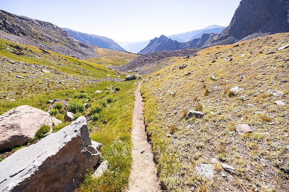 ChallengingSundance Pass Traverse20.5 mi · 11 hr · At the trailheadA full day over Sundance Pass, from lakes to wild creek.
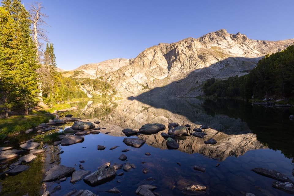 ChallengingLake Fork Trail #2 to Sundance Pass19 mi · 12 hr · At the trailheadA long creekside climb from lakes to a high alpine pass
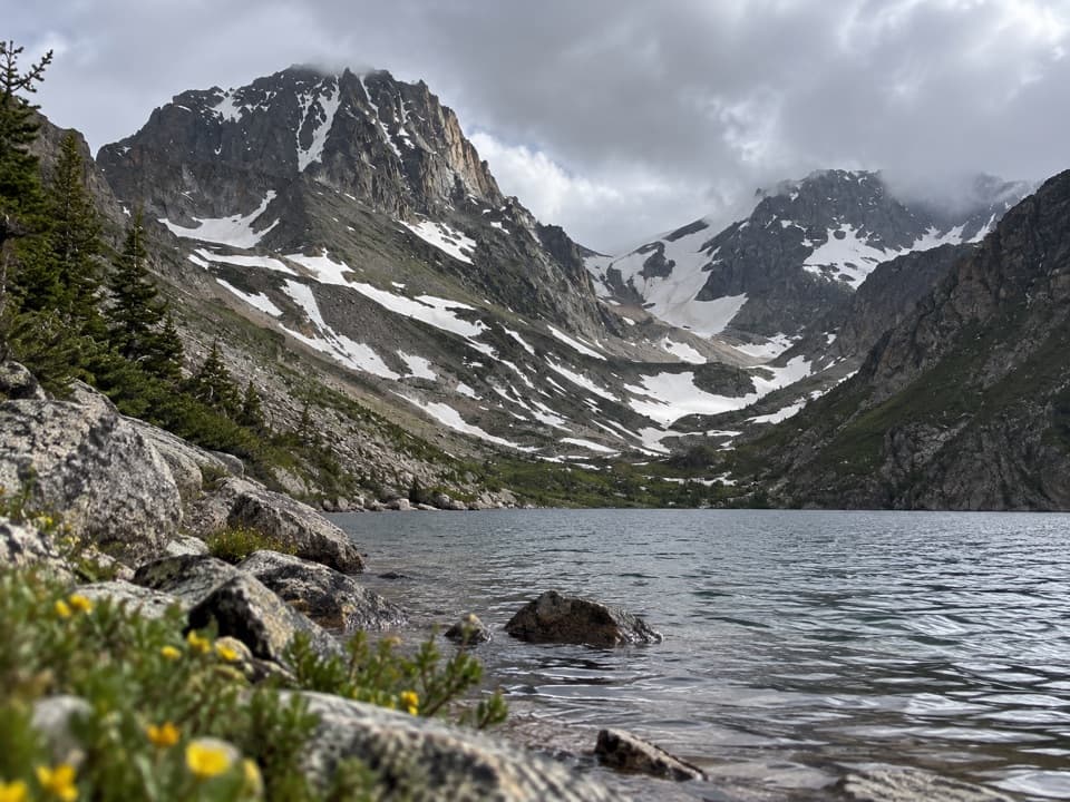 ChallengingBlack Canyon Lake Trail13.3 mi · 7.5 hr · At the trailheadA long wilderness hike to a turquoise lake and glacier views
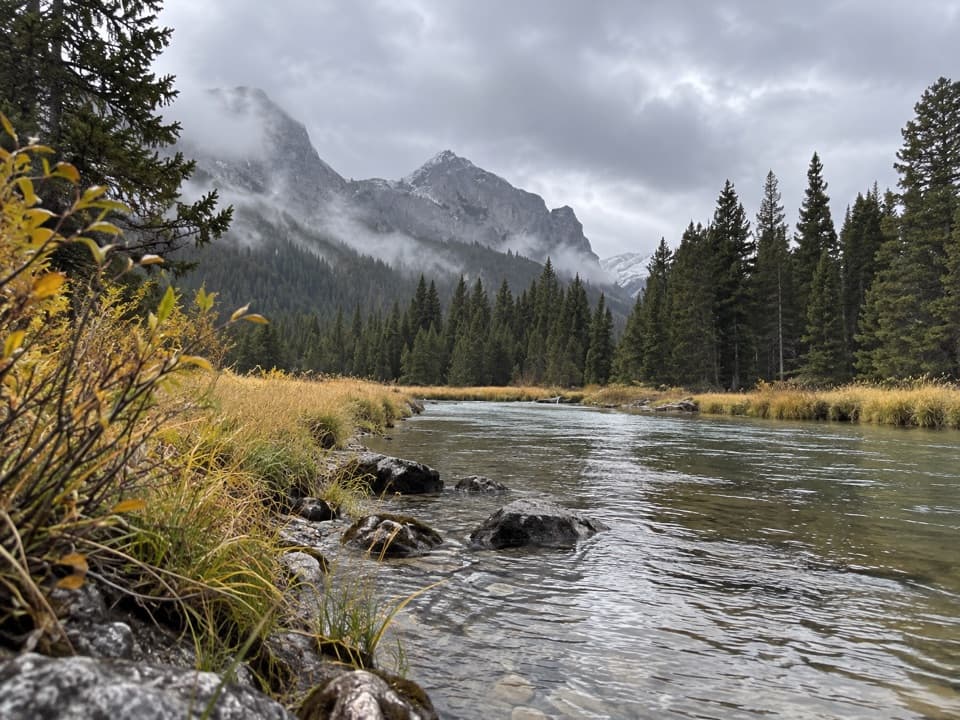 ChallengingKeyser Brown Lake Trail13.2 mi · 7.5 hr · At the trailheadA long creekside walk to a high, quiet alpine lake.ModerateBroadwater Lake via Lake Fork Trail7.5 mi · 4 hr · At the trailheadA creekside ramble ends in Broadwater's open mountain meadows.
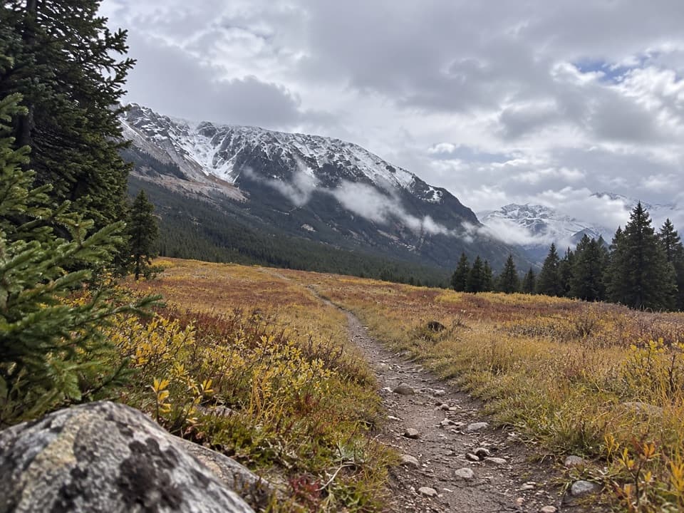 EasyParkside Trail #1032.3 mi · 1.3 hr · 1.3 mi awayA gentle walk through pine woods and meadows between two campgrounds.
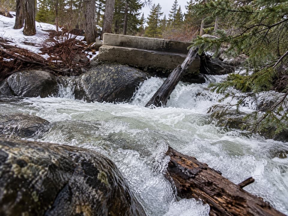 EasyLower Lake Fork Trail #2A2 mi · 1.3 hr · 1.4 mi awayA creekside link to Lake Fork's longer high-country hikes.
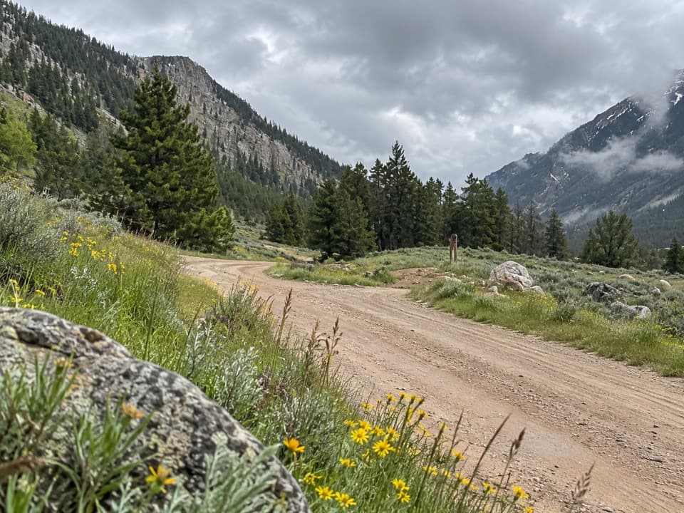 EasyLower Parkside Trail #1062.3 mi · 1.5 hr · 1.6 mi awayA rough creekside climb between two Rock Creek drainages.
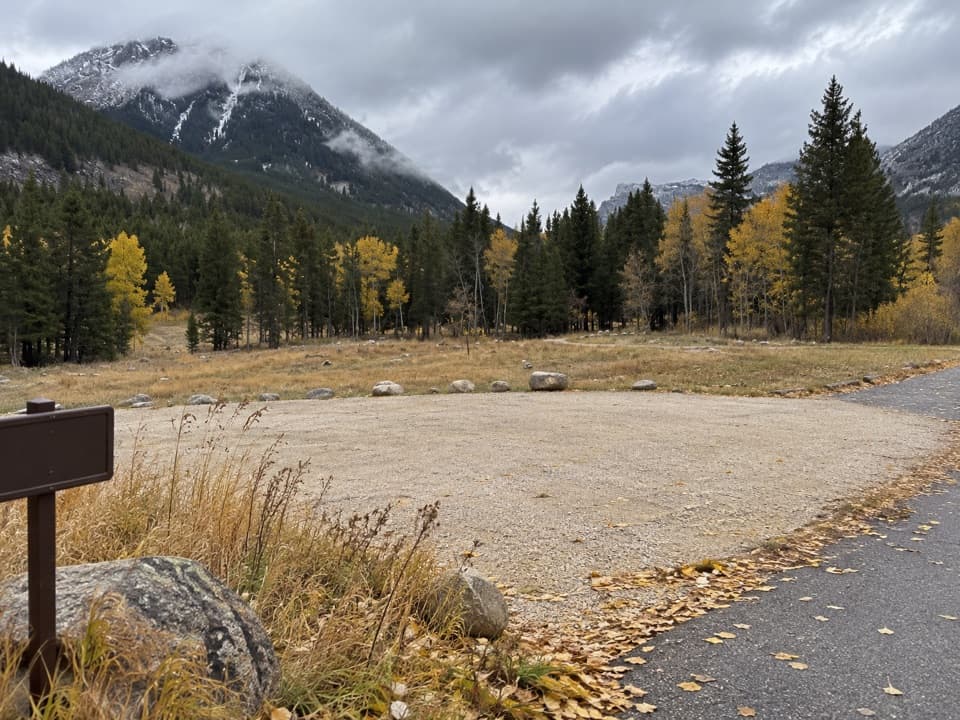 Campground · 1.3 mi awayParkside CampgroundCreekside camping near the foot of the Beartooth switchbacks.
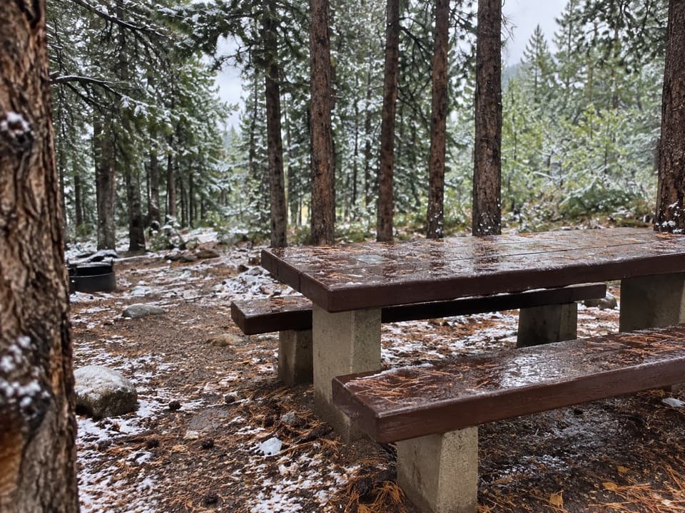 Campground · 1.4 mi awayLimber Pine CampgroundA quiet creekside base below the Beartooth switchbacks.
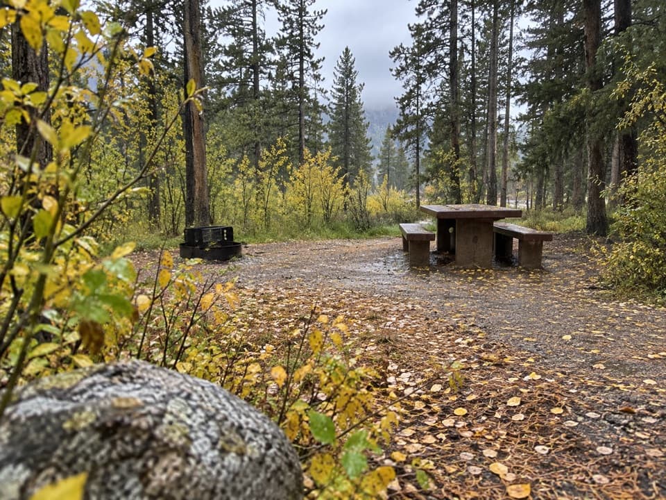 Campground · 1.6 mi awayGreenough Lake CampgroundCreekside camping, with Greenough Lake a short walk away.
 Sight · 2.5 mi awayRock Creek Vista PointA short paved path opens onto a huge glacial valley.
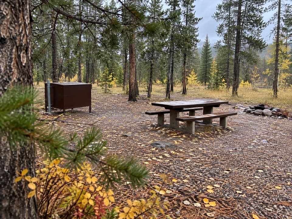 Campground · 3 mi awayM-K CampgroundA free creekside campground near Beartooth Highway hikes.
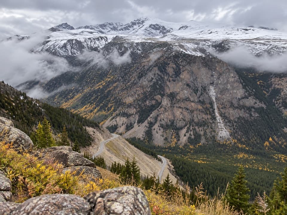 Scenic pullout · 3.6 mi awayQuad Creek Scenic OverlookThe highway curls below you across a wide mountain valley.
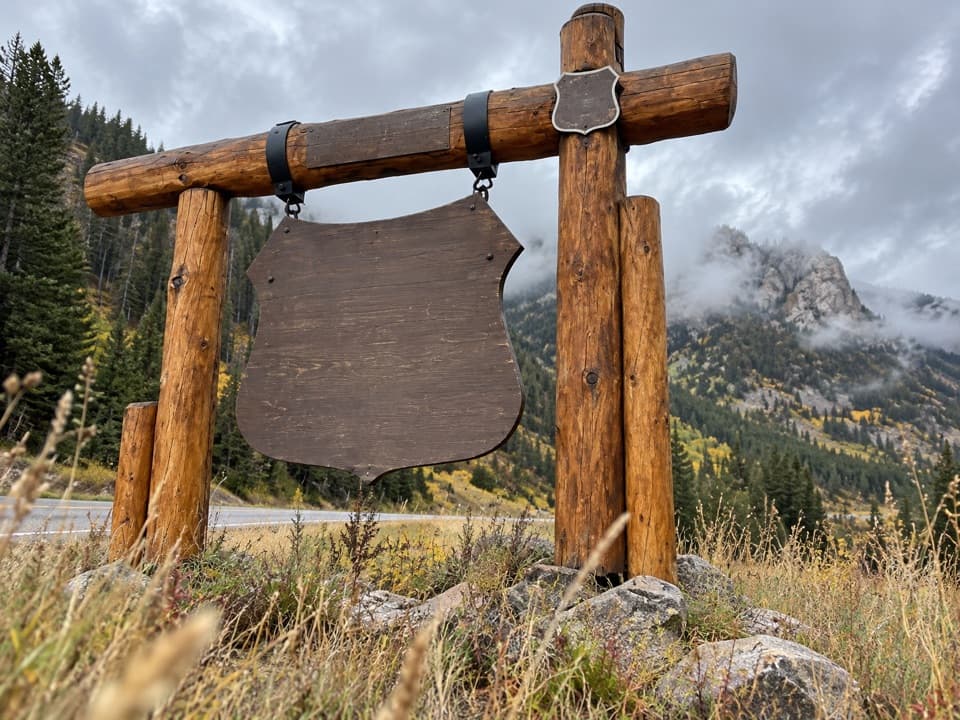 Sight · 4 mi awayBeartooth Highway Welcome SignA quick welcome photo before the high-country drive.
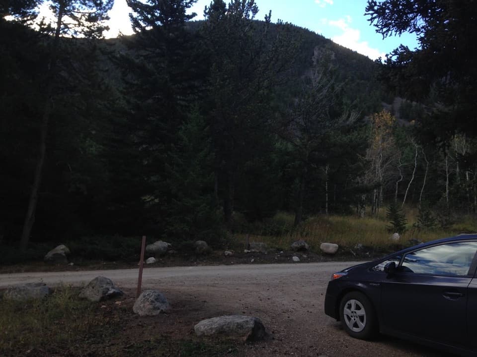 Campground · 4.2 mi awayRattin CampgroundSeven wooded, creekside sites make a practical overnight near Red Lodge.
Parkwolf’s Beartooth Highway ranking
The audio tour guide for the drive, plus offline maps, trails, and wildlife heatmaps for when the signal drops.




