Parking
Lake Fork Trailhead 2 is 1.9 miles west of US 212 on Lake Fork Road (Forest Road 2346). The trailhead has ample parking and a vault toilet.
Beartooth Highway, MT · WY
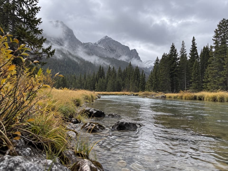
A long creekside walk to a high, quiet alpine lake.
Overview
Map & elevation
Plan your hike

The highest, rockiest slopes around here are a summer buffet for grizzly bears.
Beartooth Highway Tour Guide
Parkwolf is a GPS audio tour guide for Beartooth Highway. As you drive, it chimes in with what’s ahead: hidden gems, upcoming stops, history, geology, and wildlife, right through your car’s speakers.
See the Beartooth Highway audio tourRecorded for this trailhead
Lake Fork Road: Broadwater Lake“You're nearing Lake Fork Road, the access for a creekside hike to Broadwater Lake. The trailhead is one point nine miles up the road from the highway.”
Plays as you drive up to this trailhead in the Parkwolf Beartooth Highway Tour Guide.
More stories near here in the app
“Fantastic app with many points of information… It’s great to just turn on while you’re driving and it gives you an audio tour of the national Park. We love it!!!!”


Trail guide
Keyser Brown Lake Trail is a 13.2-mile out-and-back from Lake Fork Trailhead 2 to Keyser Brown Lake, following Lake Fork Trail #2 before taking the #2D spur. Allow about 7 to 8 hours. The approach is mostly a rolling, gentle climb beside the creek, but the distance, roughly 1,500 feet of net rise to the lake, and high elevation make it a hard full-day outing. Published totals range from 12 to 14 miles; this version uses six miles to the junction and a 0.6-mile spur each way. For a shorter day on the same route, Broadwater is a natural turnaround at 3.75 miles in, about 7.5 miles round trip.
Cross the bridge at Lake Fork Trailhead and follow Lake Fork Trail #2. Around mile five, pass the Lost Lake #2B turnoff and stay on #2. At six miles, take the signed Keyser Brown #2D spur rather than continuing toward Sundance Pass. The spur runs another 0.6 mile to the lake. You return the same way, so plan for the full walk back.
Lake Fork of Rock Creek stays close for much of the first five miles. Silver Falls comes into view from the route about a mile in. Around mile 3.75, Broadwater Lake is a slow, widened stretch of the creek with boulders along the shore, a good place to pause before the last miles. The route passes the Lost Lake junction around mile five; don't take the #2B side trail if Keyser Brown is your goal.
The lake sits at roughly 8,700 feet beneath surrounding peaks and forested slopes. The elevation profile shows about 1,500 feet of net rise from the trailhead, though published gain figures disagree and this is not a measure of every climb along the way. The length and altitude are the main challenge; most of the approach is not steep. At the shore, frame the water low in a phone photo with the peaks behind it to show the setting.
Lake Fork Trailhead 2 is 1.9 miles west of US 212 on Lake Fork Road (Forest Road 2346). The lot has ample parking, room for horse trailers, and a vault toilet. Carry drinking water or treat water from the creek before drinking. This is wilderness and bear country: keep bear spray within reach and follow food-storage rules. Dogs are permitted; keep them under control and pack out pet waste.
Wildlife
 42 sightingsGrizzly BearMost seen around 7 AMSighting map
 22 sightingsGray WolfMost seen around 6 AMSighting map
 49 sightingsBisonMost seen around 6 AMSighting map
 122 sightingsMooseMost seen around 6 AMSighting map
 260 sightingsMountain GoatMost seen around 7 AMSighting map
 16 sightingsBighorn SheepMost seen around 7 PMSighting map
Sighting maps show where each species has been reported across Beartooth Highway. Wildlife moves, so no sighting is guaranteed.
Keep exploring
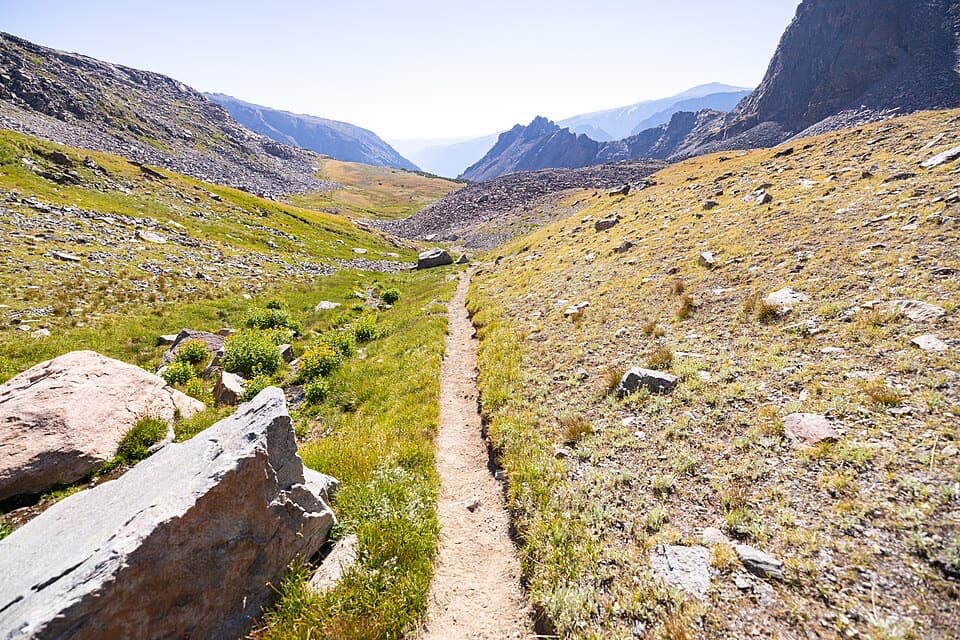 ChallengingSundance Pass Traverse20.5 mi · 11 hr · At the trailheadA full day over Sundance Pass, from lakes to wild creek.
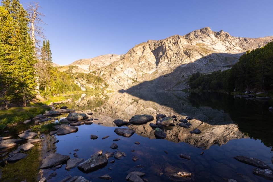 ChallengingLake Fork Trail #2 to Sundance Pass19 mi · 12 hr · At the trailheadA long creekside climb from lakes to a high alpine pass
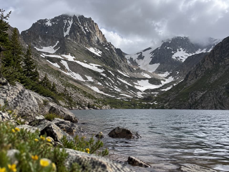 ChallengingBlack Canyon Lake Trail13.3 mi · 7.5 hr · At the trailheadA long wilderness hike to a turquoise lake and glacier views
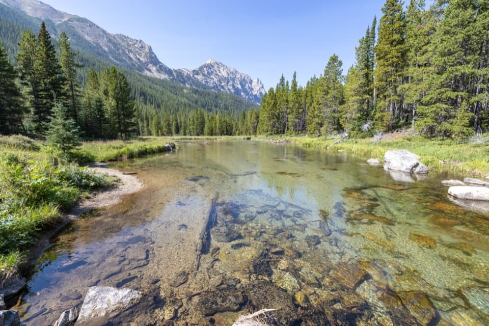 ModerateLost Lake Trail (Lake Fork)10.6 mi · 6 hr · At the trailheadA long creekside out-and-back to a high lake beneath Peak 10,913.ModerateBroadwater Lake via Lake Fork Trail7.5 mi · 4 hr · At the trailheadA creekside ramble ends in Broadwater's open mountain meadows.
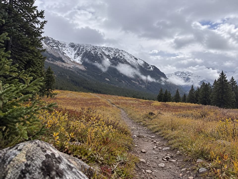 EasyParkside Trail #1032.3 mi · 1.3 hr · 1.3 mi awayA gentle walk through pine woods and meadows between two campgrounds.
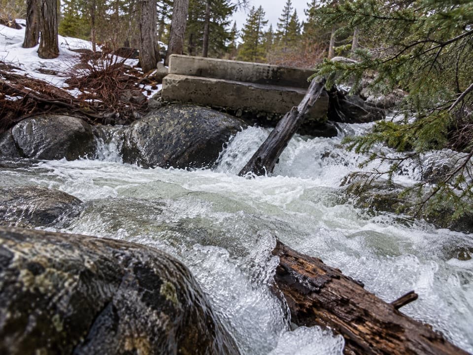 EasyLower Lake Fork Trail #2A2 mi · 1.3 hr · 1.4 mi awayA creekside link to Lake Fork's longer high-country hikes.
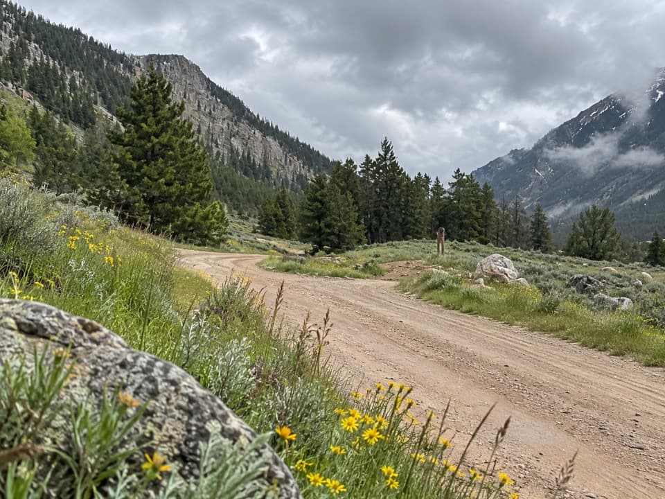 EasyLower Parkside Trail #1062.3 mi · 1.5 hr · 1.6 mi awayA rough creekside climb between two Rock Creek drainages.
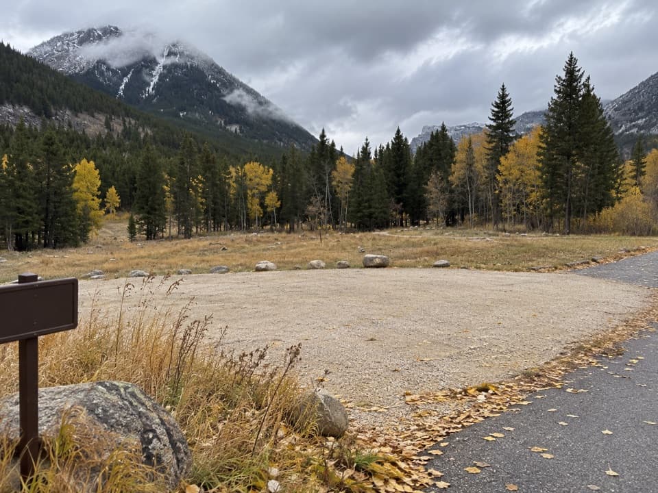 Campground · 1.3 mi awayParkside CampgroundCreekside camping near the foot of the Beartooth switchbacks.
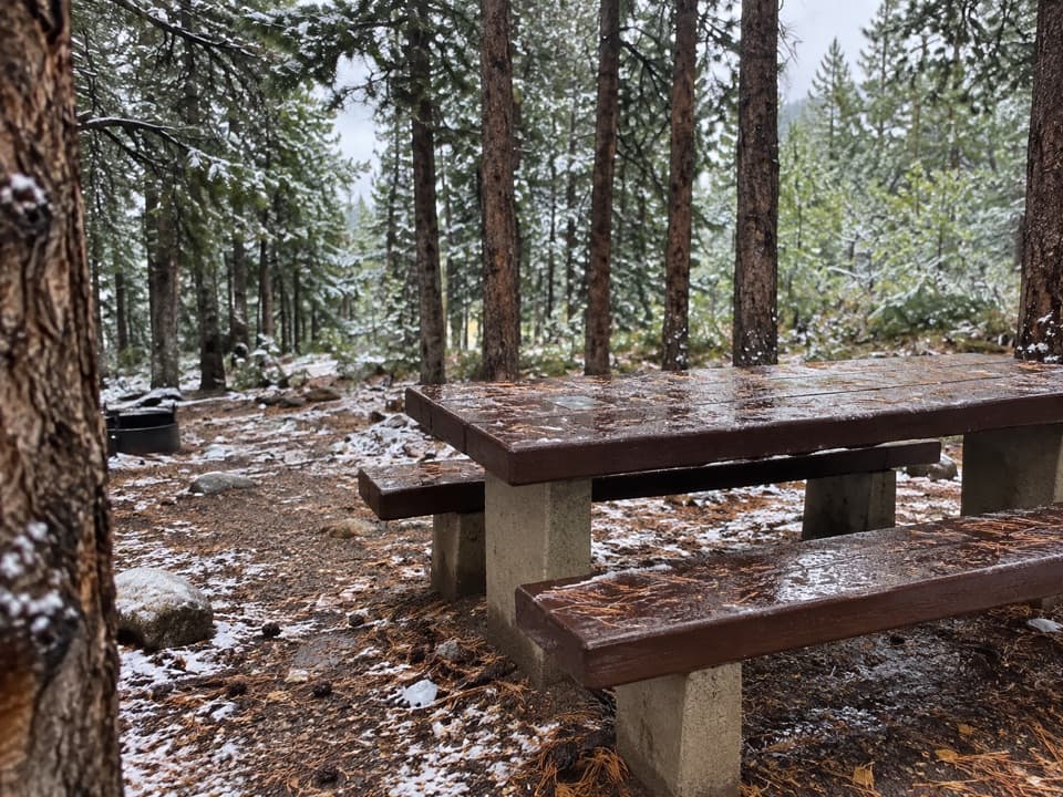 Campground · 1.4 mi awayLimber Pine CampgroundA quiet creekside base below the Beartooth switchbacks.
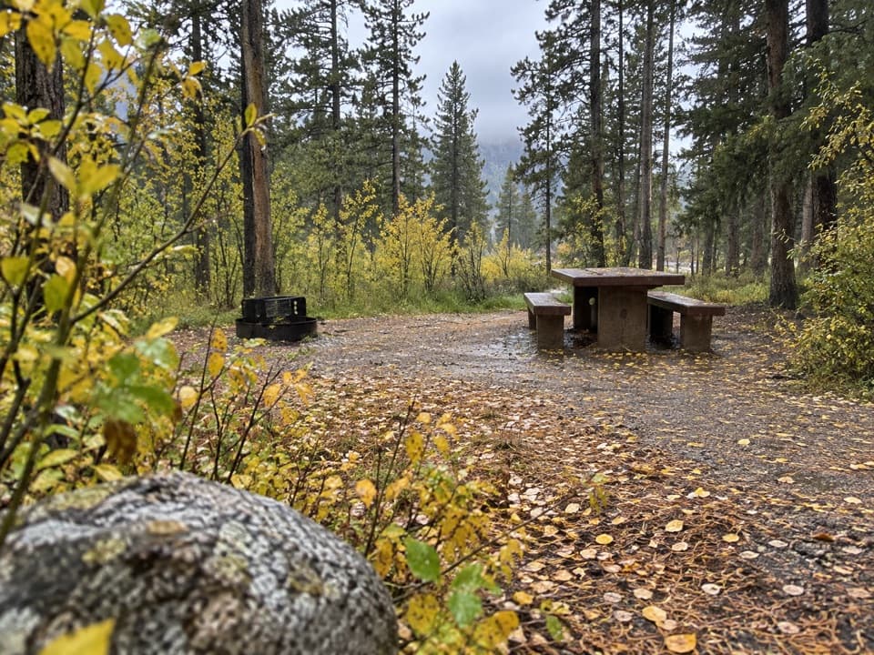 Campground · 1.6 mi awayGreenough Lake CampgroundCreekside camping, with Greenough Lake a short walk away.
 Sight · 2.5 mi awayRock Creek Vista PointA short paved path opens onto a huge glacial valley.
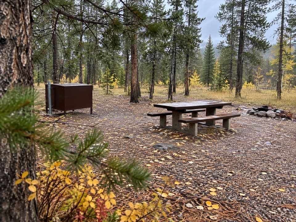 Campground · 3 mi awayM-K CampgroundA free creekside campground near Beartooth Highway hikes.
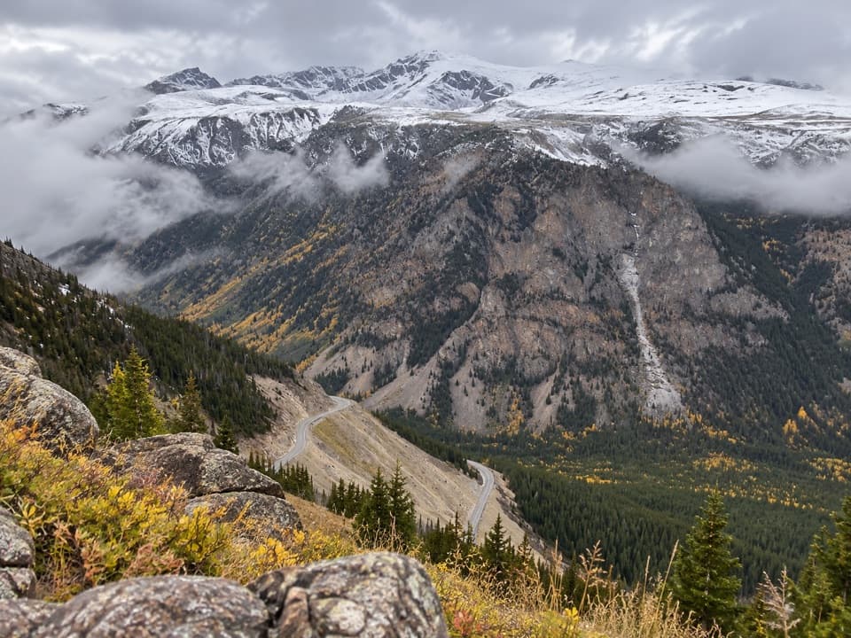 Scenic pullout · 3.6 mi awayQuad Creek Scenic OverlookThe highway curls below you across a wide mountain valley.
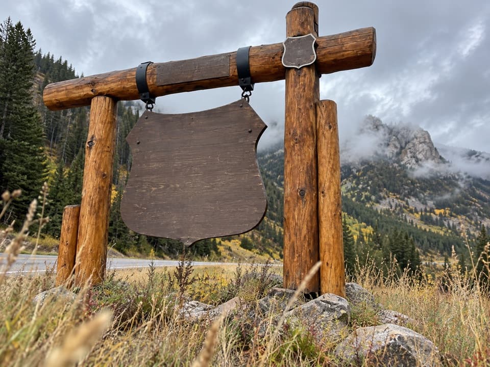 Sight · 4 mi awayBeartooth Highway Welcome SignA quick welcome photo before the high-country drive.
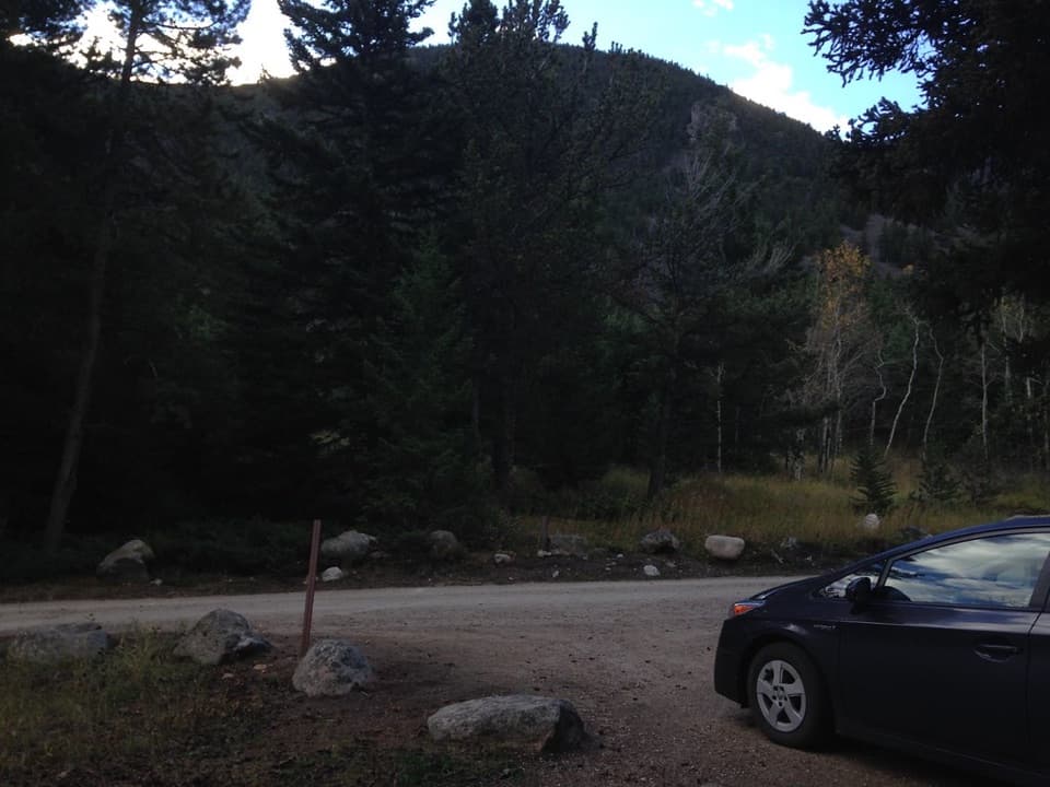 Campground · 4.2 mi awayRattin CampgroundSeven wooded, creekside sites make a practical overnight near Red Lodge.
Parkwolf’s Beartooth Highway ranking

The audio tour guide for the drive, plus offline maps, trails, and wildlife heatmaps for when the signal drops.




