Parking
Use the small gravel turnout on the dirt road beyond Hauser Lake Trailhead. Walk a few hundred feet along the dirt road, then turn left onto the unsigned trail; turnout capacity and facilities are undocumented.
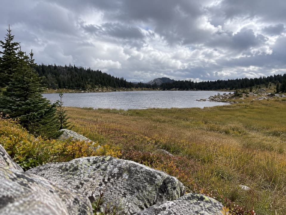
Beartooth Highway, MT · WY
Faint alpine tread links Top and Dollar Lakes.
Overview
Map & elevation
Plan your hike

The highest, rockiest slopes around here are a summer buffet for grizzly bears.
Beartooth Highway Tour Guide
Parkwolf is a GPS audio tour guide for Beartooth Highway. As you drive, it chimes in with what’s ahead: hidden gems, upcoming stops, history, geology, and wildlife, right through your car’s speakers.
See the Beartooth Highway audio tourMore stories near here in the app
“Fantastic app with many points of information… It’s great to just turn on while you’re driving and it gives you an audio tour of the national Park. We love it!!!!”


Trail guide
Dollar Lake Trail is a 7.5-mile out-and-back from the unsigned Dollar Lake Trailhead to a junction with the Little Rock Creek and High Line trails. Each leg follows the same roughly 3.73-mile mapped branch. It rolls down into the lakes' basin and climbs back toward the junction; allow about four to five hours at roughly 9,000 feet.
The trail crosses open alpine meadows to Top Lake and Dollar Lake, with scattered conifers, rocky shorelines and views toward the southern Beartooth Mountains. Top Lake's open, boulder-edged shore is the clearest place to pause and take in the setting.
This is a branch of a larger Beartooth trail network, separate from its loop itineraries. Some tread is faint and can be easy to lose. Follow the route carefully through the meadow and lakes basin, and turn around at the mapped junction unless you've planned a longer route on the connecting trails.
The described access is a small gravel turnout on the dirt road beyond Hauser Lake Trailhead. Walk a few hundred feet along the dirt road, then turn left onto the unsigned trail. Parking capacity and facilities at the turnout aren't documented.
Wildlife
 42 sightingsGrizzly BearMost seen around 7 AMSighting map
 22 sightingsGray WolfMost seen around 6 AMSighting map
 49 sightingsBisonMost seen around 6 AMSighting map
 122 sightingsMooseMost seen around 6 AMSighting map
 260 sightingsMountain GoatMost seen around 7 AMSighting map
 16 sightingsBighorn SheepMost seen around 7 PMSighting map
Sighting maps show where each species has been reported across Beartooth Highway. Wildlife moves, so no sighting is guaranteed.
Keep exploring
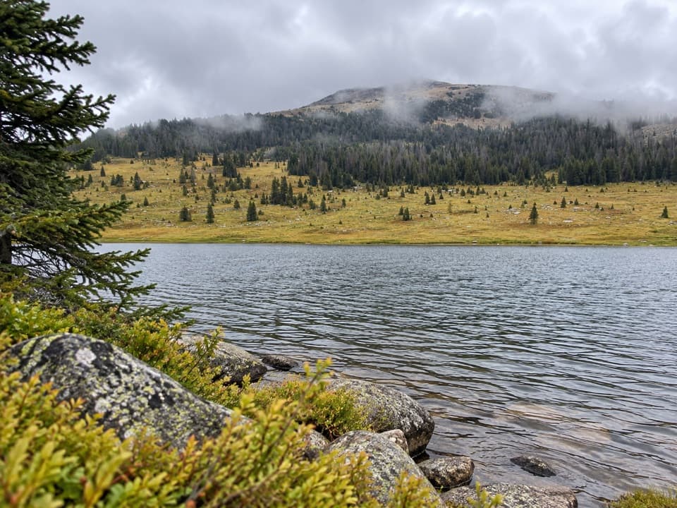 ModerateHauser, Stockade and Losekamp Lakes Trail6.7 mi · 3.5 hr · 2.2 mi awayThree high-country lakes make the extra walking count.
 ModerateBecker and Albino Lakes Trail12.2 mi · 7 hr · 2.9 mi awayA long lake-to-lake day ending beneath Albino’s granite cliffs.
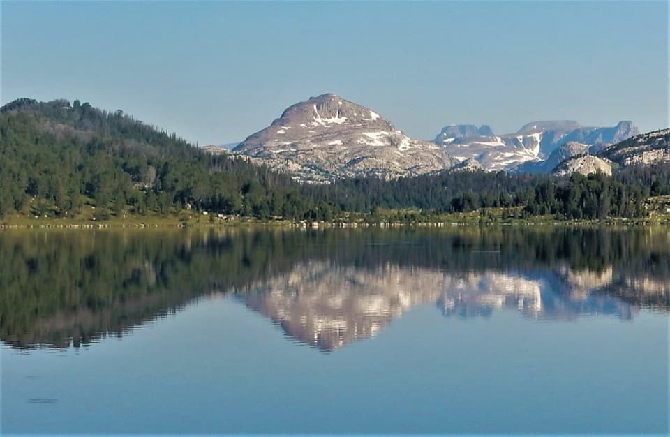 ModerateIsland Lake to Beartooth Lake Trail5.5 mi · 3.5 hr · 3 mi awayFive alpine miles, ten lakes and a shuttle between trailheads.ModerateBeartooth High Lakes Trail8.9 mi · 5.5 hr · 3.1 mi awayNine miles of alpine lakes, granite benches and big plateau views
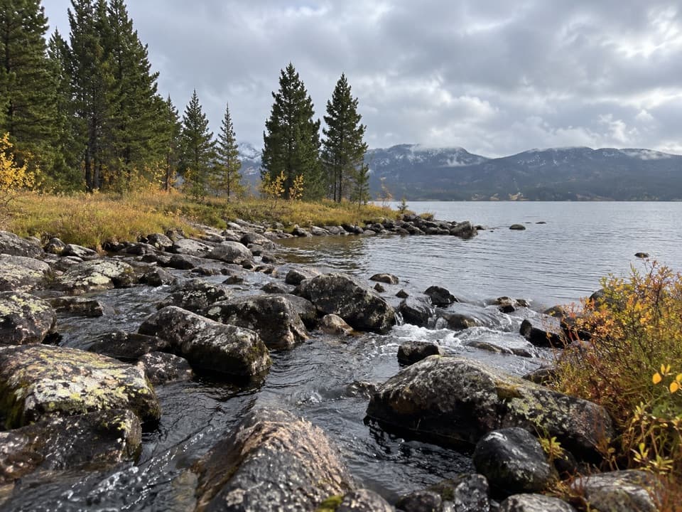 EasyIsland and Night Lakes Trail3.4 mi · 2 hr · 3.1 mi awayTwo alpine lakes on an easy, high-altitude walk off the highway.
 ChallengingBeartooth Loop National Recreation Trail10.9 mi · 5.5 hr · 4.5 mi awayA high-country loop joining Gardner Lake and the steep Beartooth headwall.ModerateGardner Lake Trail1.6 mi · 1.3 hr · 4.5 mi awayA short lake walk with a steep climb back out.
 ModerateBeartooth Lakes Loop7.8 mi · 4 hr · 5.1 mi awayA six-lake loop over high ridges and wildflower meadows.Campground · 2.8 mi awayIsland Lake CampgroundA simple high-country camp for lake views and nearby hikes.Sight · 3 mi awayIsland LakeA high-country lake with boat access and hikes to nearby lakes.
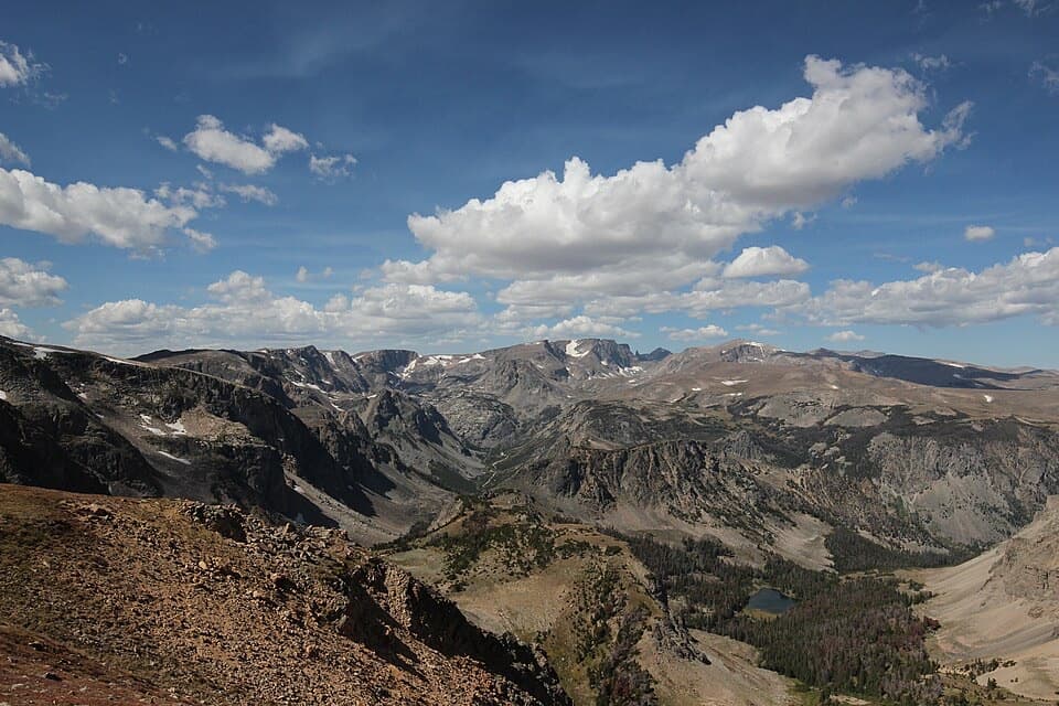 Sight · 3.9 mi awayBeartooth Pass VistaA high-alpine summit stop for open views, lingering snow and wildflowers.
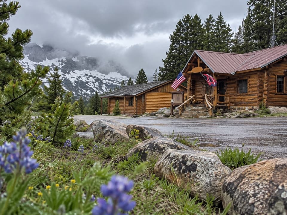 Store · 3.9 mi awayTop of the World Store and ResortA 9,400-foot store and lodge midway along the pass drive.
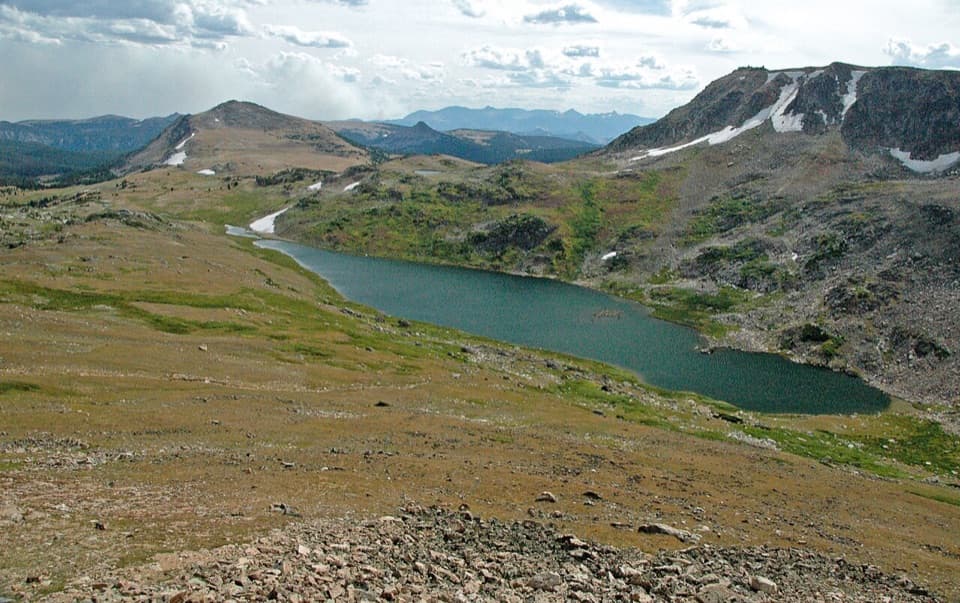 Scenic pullout · 4.5 mi awayGardner Lake OverlookA broad roadside lake view; the shore means a steep climb back.
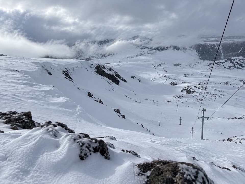 Sight · 5 mi awayBeartooth Basin Summer Ski AreaSummer skiing on a steep high-alpine headwall.
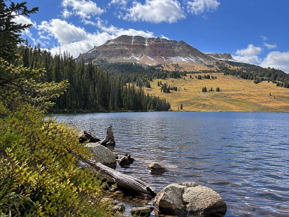 Campground · 5.2 mi awayBeartooth Lake CampgroundA lakefront base for fishing, boating and nearby high-country hikes.
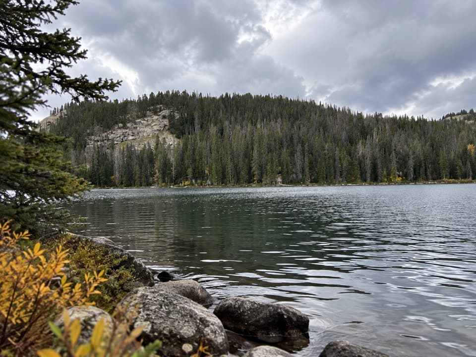 Sight · 5.3 mi awayBeartooth LakeLaunch, picnic, or take in Beartooth Butte across the lake.
Parkwolf’s Beartooth Highway ranking

The audio tour guide for the drive, plus offline maps, trails, and wildlife heatmaps for when the signal drops.

