Parking
Hauser Lake Trailhead is a small pullout on US 212 across from Long Lake; space is limited to about four vehicles. No restroom or drinking water was documented at the turnout.
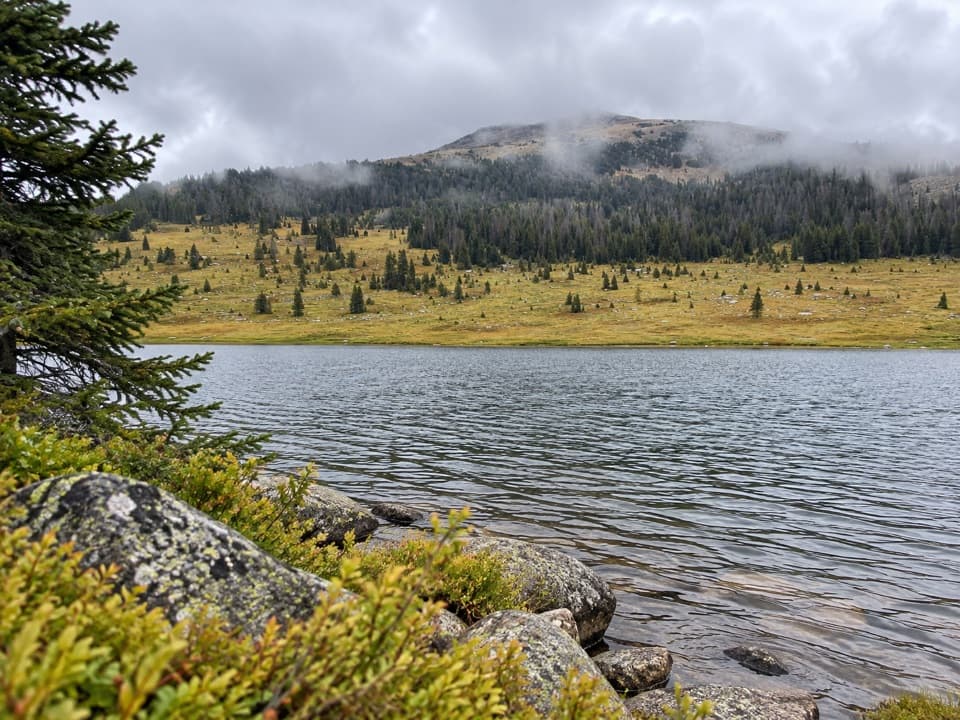
Beartooth Highway, MT · WY
Three high-country lakes make the extra walking count.
Overview
Map & elevation
Plan your hike

The highest, rockiest slopes around here are a summer buffet for grizzly bears.
Beartooth Highway Tour Guide
Parkwolf is a GPS audio tour guide for Beartooth Highway. As you drive, it chimes in with what’s ahead: hidden gems, upcoming stops, history, geology, and wildlife, right through your car’s speakers.
See the Beartooth Highway audio tourRecorded for this trailhead
Hauser Lake Trailhead“You're nearing Hauser Lake Trailhead, where open tundra leads to Hauser's grassy shore about three-quarters of a mile from the highway.”
Plays as you drive up to this trailhead in the Parkwolf Beartooth Highway Tour Guide.
More stories near here in the app
“Fantastic app with many points of information… It’s great to just turn on while you’re driving and it gives you an audio tour of the national Park. We love it!!!!”


Trail guide
This is a roughly 6.7-mile out-and-back from Hauser Lake Trailhead on the Beartooth Highway to the east side of Stockade Lake. It follows the Hauser Lake Trail to Losekamp, turns south on the Stockade Lake trail, then returns the same way. Hauser and Solar lakes are along the approach. Allow about 3 to 4 hours for the high-country walk. It is a rewarding half-day if you want a string of lakes without taking on the longer Beartooth Loop routes.
The trail leaves the highway across open alpine tundra and weathered granite. That first stretch can be boggy; farther down, it enters aspen and white pine where pine needles give firmer footing. Hauser Lake's grassy north shore comes about three-quarters of a mile in. If you only want a short taste of the plateau, this is the natural place to turn around.
Past Hauser, the route passes near Solar Lake, then rolls over open hills and meadows toward Losekamp Lake. The ground is high and broad rather than steep for long, with small lakes and ponds scattered across the plateau. The basin's rounded boulders, kettle lakes, glacial till and terminal moraines are reminders that ice shaped this landscape over a long stretch of time.
At Losekamp, the route turns south on the Stockade Lake segment. Stay on the main path along the lake's east side; the alternative trace around the west shore is described as faint and rough. The mapped line reaches the east shore of Stockade Lake before turning back, so this is an out-and-back rather than the larger loop options in the area.
The route tops out around 9,800 feet and gains roughly 800 feet over the return hike. It is rated moderate, but the thin air and exposed weather can make it feel harder than the mileage suggests. The highway end is higher than Stockade, so save energy for the uphill return. Tundra can be wet, and signs or tread can be faint at junctions; carry offline navigation and a map.
Start at the small Hauser Lake Trailhead turnout on US 212, across from Long Lake; there is room for only a few vehicles, and no drinking water or restroom was documented there. The highway is generally open from Memorial Day weekend to mid-October, weather permitting, and can close temporarily in summer. Dogs are allowed on National Forest trails; keep them under control, and a leash is sensible around other hikers. Marmots may scurry among the rocks, and black rosy-finches can be heard near the trees. At Losekamp, frame the lake with the grassy meadow and wooded slope beyond it rather than photographing only the water.
Wildlife
 42 sightingsGrizzly BearMost seen around 7 AMSighting map
 22 sightingsGray WolfMost seen around 6 AMSighting map
 49 sightingsBisonMost seen around 6 AMSighting map
 122 sightingsMooseMost seen around 6 AMSighting map
 260 sightingsMountain GoatMost seen around 7 AMSighting map
 16 sightingsBighorn SheepMost seen around 7 PMSighting map
Sighting maps show where each species has been reported across Beartooth Highway. Wildlife moves, so no sighting is guaranteed.
Keep exploring
 ModerateBecker and Albino Lakes Trail12.2 mi · 7 hr · 1.9 mi awayA long lake-to-lake day ending beneath Albino’s granite cliffs.
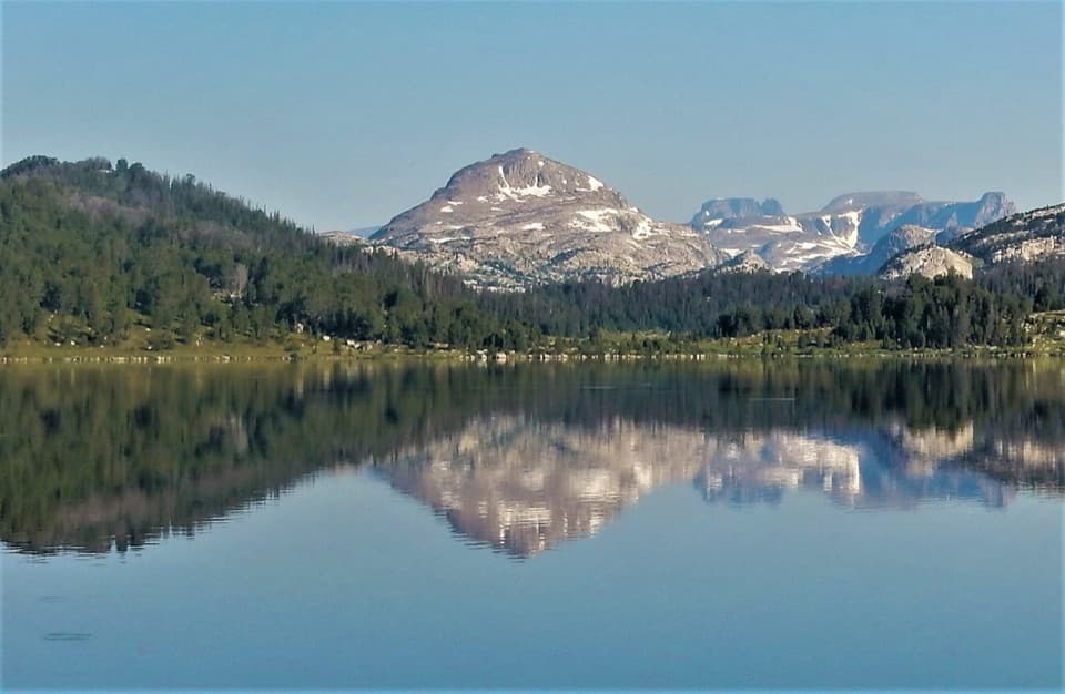 ModerateBeartooth High Lakes Trail8.9 mi · 5.5 hr · 2.1 mi awayNine miles of alpine lakes, granite benches and big plateau views
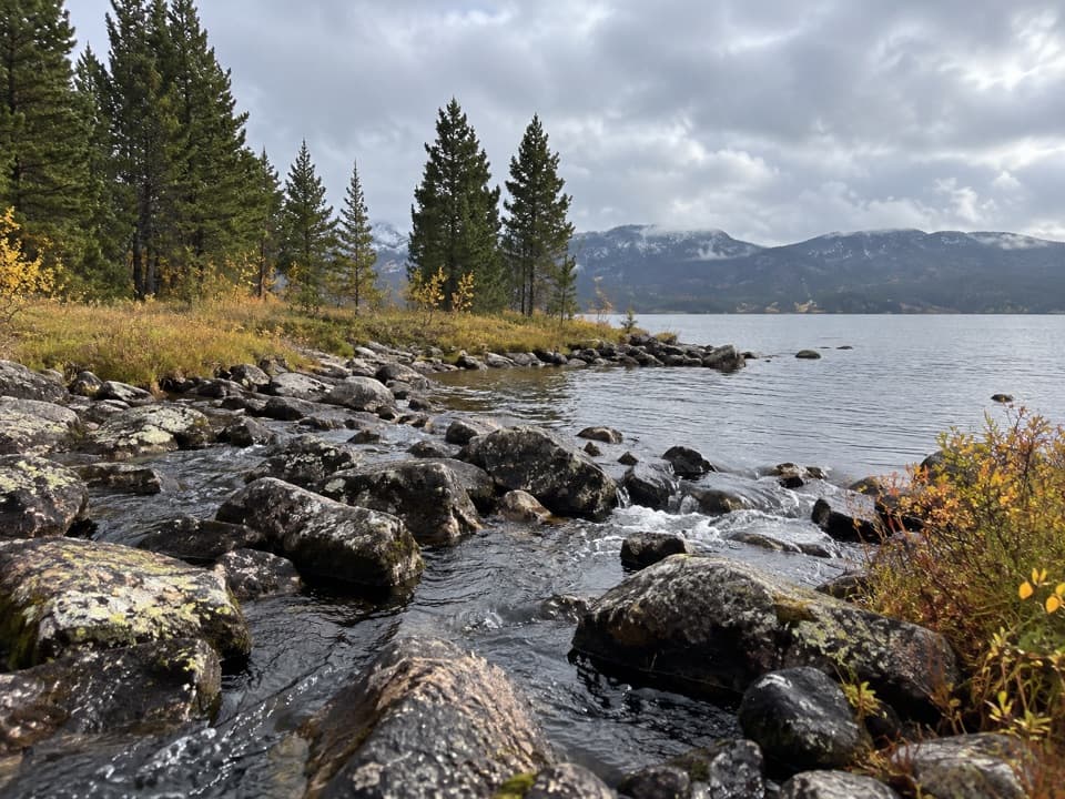 EasyIsland and Night Lakes Trail3.4 mi · 2 hr · 2.1 mi awayTwo alpine lakes on an easy, high-altitude walk off the highway.ModerateIsland Lake to Beartooth Lake Trail5.5 mi · 3.5 hr · 2.2 mi awayFive alpine miles, ten lakes and a shuttle between trailheads.
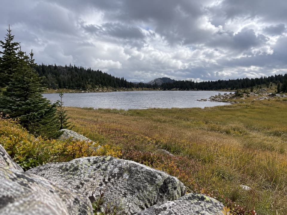 ModerateDollar Lake Trail7.5 mi · 4.5 hr · 2.2 mi awayFaint alpine tread links Top and Dollar Lakes.
 ChallengingBeartooth Loop National Recreation Trail10.9 mi · 5.5 hr · 2.9 mi awayA high-country loop joining Gardner Lake and the steep Beartooth headwall.ModerateGardner Lake Trail1.6 mi · 1.3 hr · 2.9 mi awayA short lake walk with a steep climb back out.
 ChallengingGlacier Lake Trail4.4 mi · 3.3 hr · 4.1 mi awayA steep climb to an alpine lake tucked into the Beartooths.
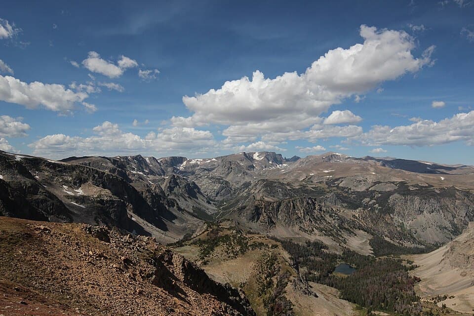 Sight · 2 mi awayBeartooth Pass VistaA high-alpine summit stop for open views, lingering snow and wildflowers.Campground · 2.1 mi awayIsland Lake CampgroundA simple high-country camp for lake views and nearby hikes.Sight · 2.2 mi awayIsland LakeA high-country lake with boat access and hikes to nearby lakes.
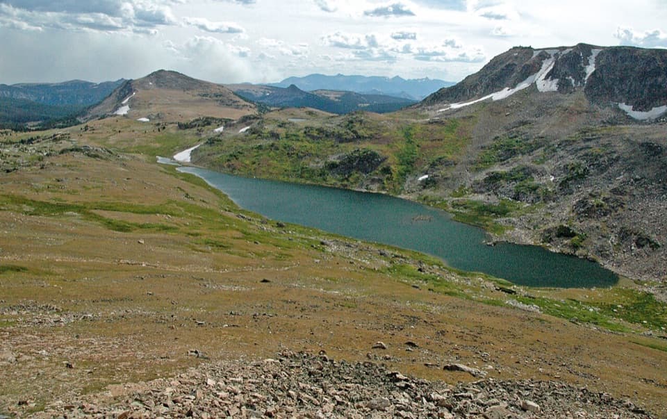 Scenic pullout · 2.9 mi awayGardner Lake OverlookA broad roadside lake view; the shore means a steep climb back.
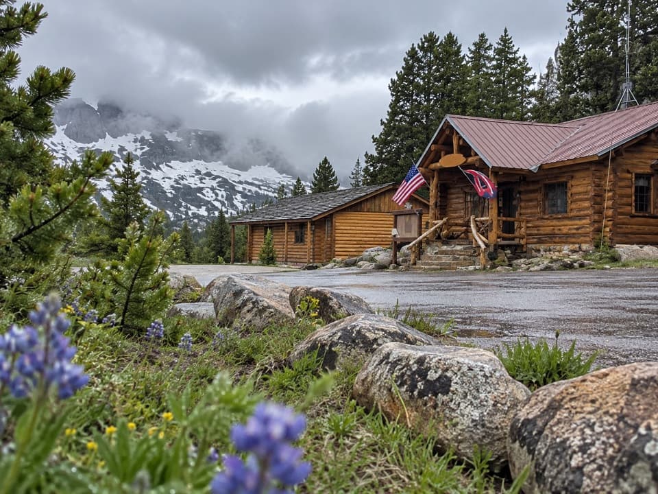 Store · 3.1 mi awayTop of the World Store and ResortA 9,400-foot store and lodge midway along the pass drive.
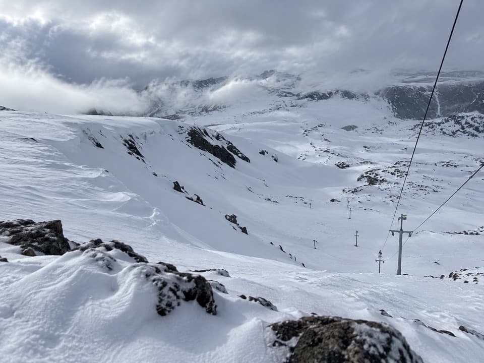 Sight · 3.6 mi awayBeartooth Basin Summer Ski AreaSummer skiing on a steep high-alpine headwall.
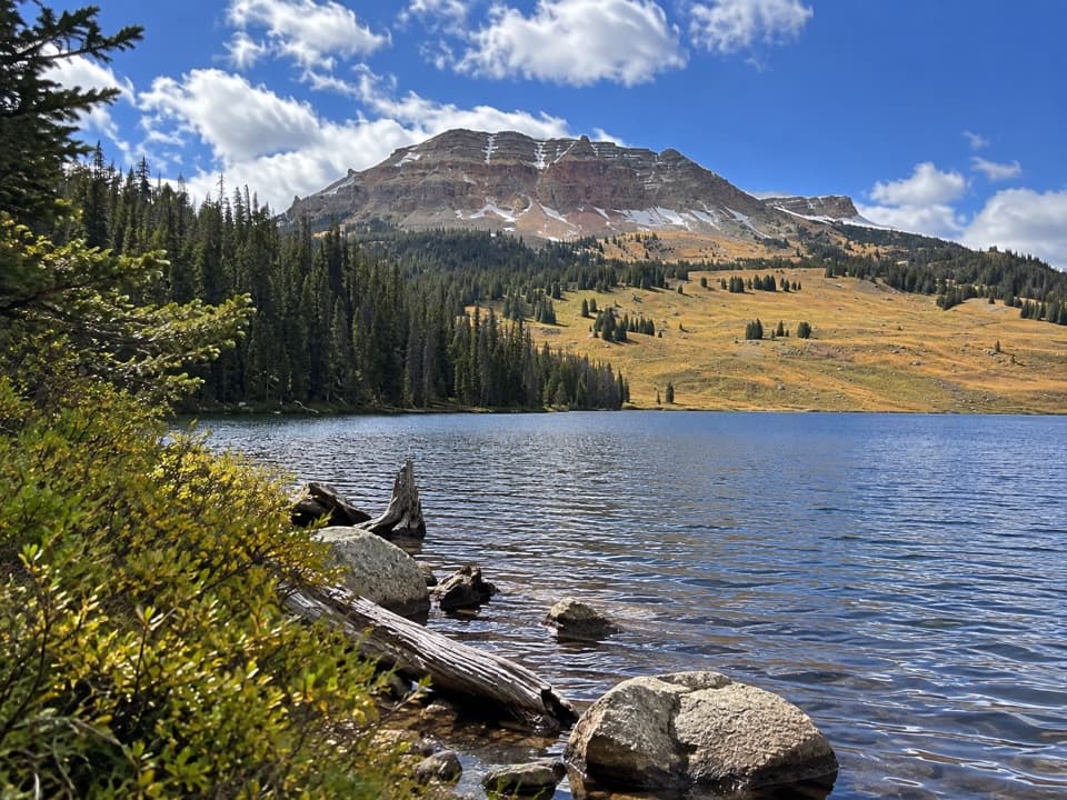 Campground · 4.5 mi awayBeartooth Lake CampgroundA lakefront base for fishing, boating and nearby high-country hikes.
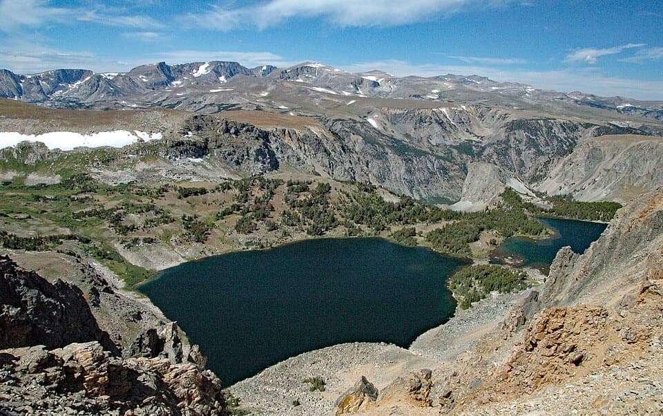 Scenic pullout · 4.5 mi awayTwin Lakes OverlookTwo alpine lakes, seen from above without a hike.
Parkwolf’s Beartooth Highway ranking

The audio tour guide for the drive, plus offline maps, trails, and wildlife heatmaps for when the signal drops.

