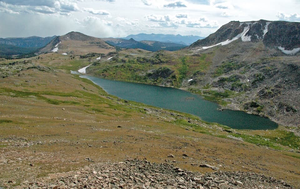
Gardner Lake Overlook in Beartooth Highway

#9 of 18 sights in Beartooth Highway

Scenic pullout · Beartooth Highway

Gardner Lake Overlook

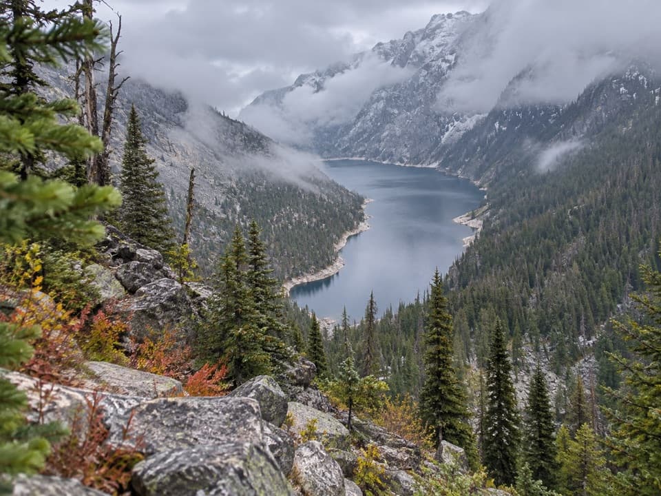
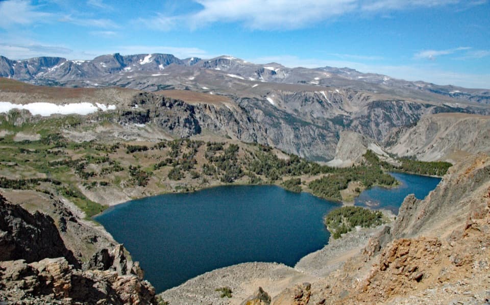
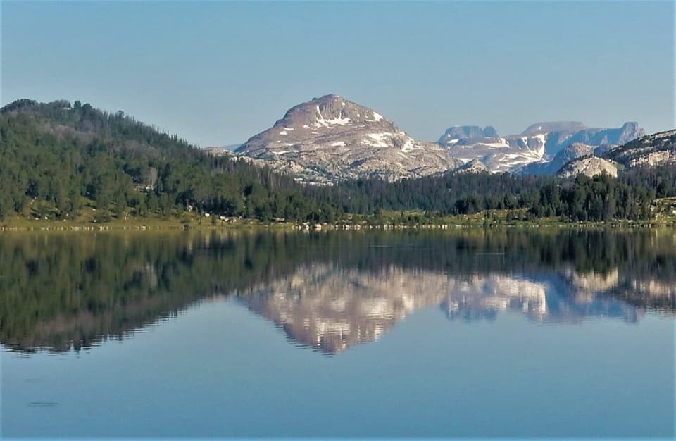
A broad roadside lake view; the shore means a steep climb back.

Photo: Wikimedia Commons
Type
Scenic pullout
Nearest trail
Right here
Audio stories
8 nearby
  • Pullout
  • Parking
  • Scenic viewpoint

Hear the audio tour

Gardner Lake Overlook

Overview

About Gardner Lake Overlook

Why stop

  • A broad lake-and-cirque view right from US 212

Heads up

  • The lakeshore takes a steep 580-foot descent and return climb

Map

Where it is

Loading the Beartooth Highway map
Full map
Scenic pulloutGardner Lake Overlook44.97295, -109.45226
Keep this map with you offline in the Parkwolf app

Plan your stop

Before you go

1 active Beartooth Highway alert

  • ClosureBeartooth Highway seasonal closure and falling-rock advisoryBeartooth Highway (US-212) is closed for the season between Cooke City and Red Lodge; do not plan to travel the highway as a through route.Official details

Beartooth Highway alerts
A park ranger sits on a dash-mounted phone, talking, as Parkwolf’s Tour Guide plays “Army Cutworm Moths: A Grizzly Bear Buffet” on Grand Loop Road below Dunraven Pass in Yellowstone
Parkwolf Tour GuideThe highest, rockiest slopes around here are a summer buffet for grizzly bears.

Beartooth Highway Tour Guide

Your drive to Gardner Lake Overlook, narrated.

Parkwolf is a GPS audio tour guide for Beartooth Highway. As you drive, it chimes in with what’s ahead: hidden gems, upcoming stops, history, geology, and wildlife, right through your car’s speakers.

See the Beartooth Highway audio tour

Recorded for this place

Gardner Lake Overlook
0:00 / 0:27
“You're nearing Gardner Lake Overlook, where you can look down into the lake's rocky mountain bowl without leaving the roadside. I'd stop for the view even if you don't want to hike.”

Plays as you drive up to Gardner Lake Overlook in the Parkwolf Beartooth Highway Tour Guide.

More stories near here in the app

  • A Marmot's Short Summer
  • Beartooth Basin Summer Ski Area
  • Beartooth Pass Vista
  • The Bird That Plants Pines
  • 62 audio storiesacross Beartooth Highway’s roads, triggered by GPS as you drive
  • Wildlife heatmapsfor Grizzly Bear, Gray Wolf, Bison, and 13 more
  • Works offlinemaps, 82 trails, 36 places, and audio download before you lose signal
  • CarPlay readysimple controls built for the drive
★★★★★
“Fantastic app with many points of information… It’s great to just turn on while you’re driving and it gives you an audio tour of the national Park. We love it!!!!”
JMJamesApp Store review
Download Parkwolf on the App StoreGet Parkwolf on Google Play

4.7 from 8,600+ ratings

Guide

More about Gardner Lake Overlook

Take in the basinGardner Lake Overlook is a roadside pullout on US 212 above Gardner Lake, looking into a high…

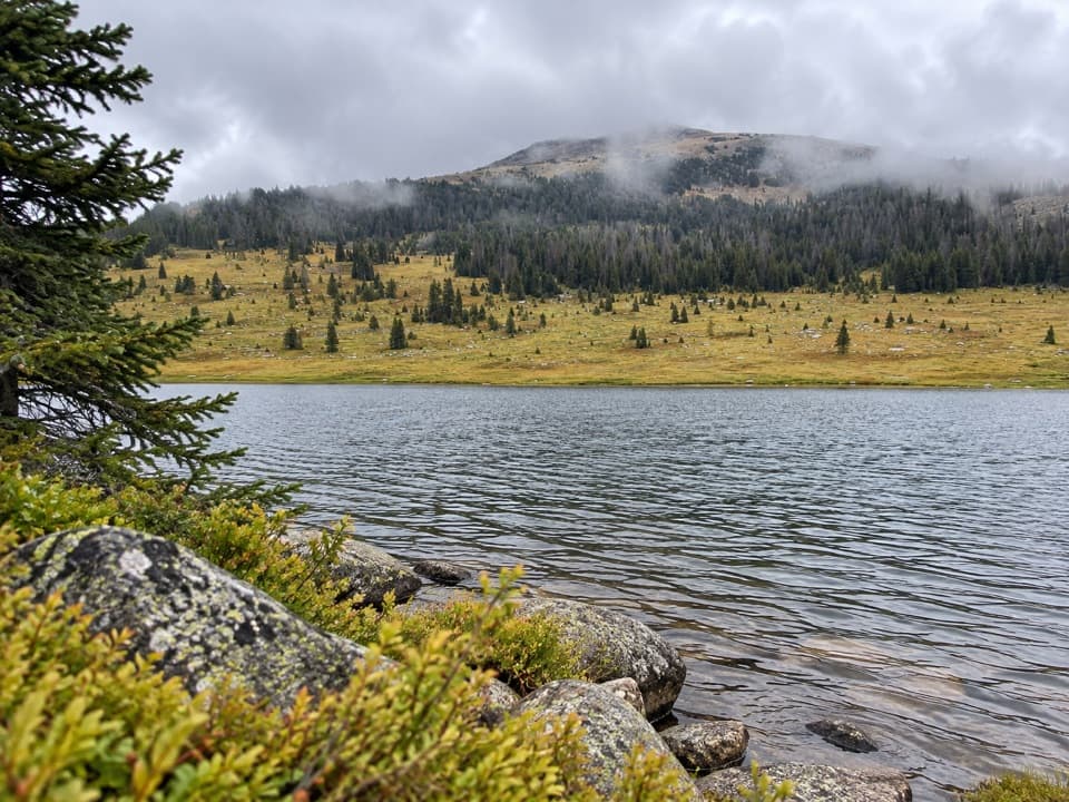
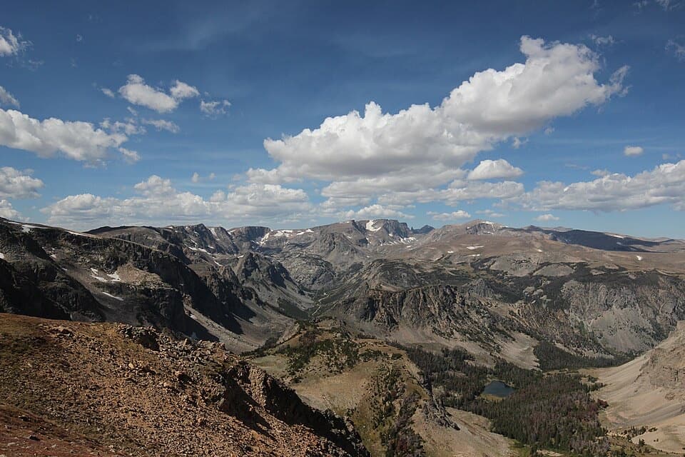
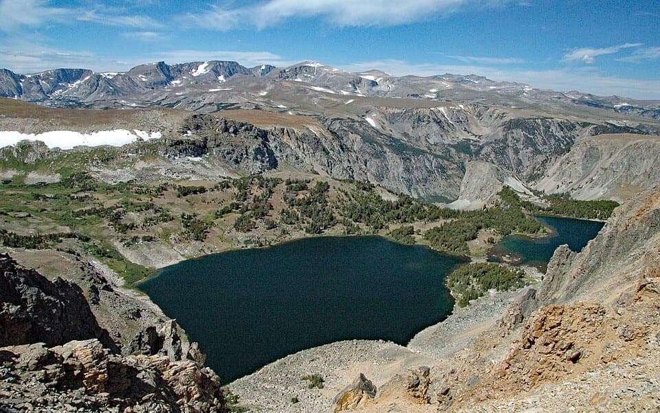
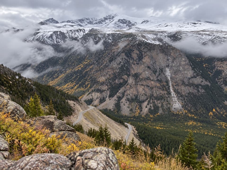
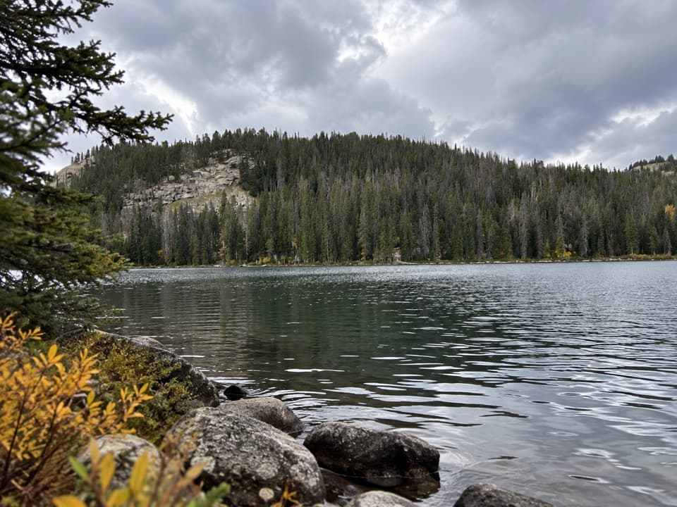
Gardner Lake Overlook is a roadside pullout on US 212 above Gardner Lake, looking into a high alpine cirque. It makes an easy stop for the lake-and-mountain view; you can take it in without hiking. Reaching the shore is a different outing: the trail drops about 580 feet over roughly three-quarters of a mile, so budget for a steep climb back up.

The view from the roadRocky cirque walls rise above the lake, with Gardner Headwall in the wider view.

Rocky cirque walls rise above the lake, with Gardner Headwall in the wider view. The pullout is also a place to look for Bear’s Tooth, the rock formation associated with the highway’s name. For a photo, keep some lake along the lower edge and include the enclosing slopes; the basin is what gives the view its scale.

If you hike downThe pullout is also an access point for the Beartooth Loop.

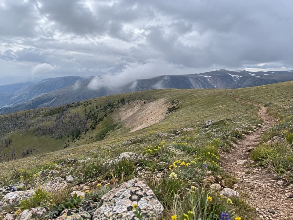
The pullout is also an access point for the Beartooth Loop. The initial walk toward the lake loses about 580 feet in three-quarters of a mile, then you have to regain that elevation on the way back. The longer route continues across alpine and subalpine terrain; published distances vary, so check the route details before committing. For hikes in the Beartooth corridor, official guidance is to carry bear spray and know how to use it.

Fit it into the driveBeartooth Highway generally opens around Memorial Day and closes around October 15, with…

Beartooth Highway generally opens around Memorial Day and closes around October 15, with weather controlling both ends; snow can linger at high elevations into July. Check current road conditions before setting out. I couldn’t confirm food, drinking water, or restrooms at this pullout, so don’t plan on those services.

Wildlife

Wildlife in Beartooth Highway

All Beartooth Highway wildlife maps

Sighting maps show where each species has been reported across Beartooth Highway. Wildlife moves, so no sighting is guaranteed.

Keep exploring

Near Gardner Lake Overlook

See it all on the map

Trails nearby

More stops nearby

Parkwolf’s Beartooth Highway ranking

Top sights in Beartooth Highway

All 36 places
  1. 1Beartooth Pass VistaSight
  2. 2Rock Creek Vista PointSight
  3. 3Clay Butte LookoutSight
  4. 4Pilot and Index Peaks OverlookScenic pullout
  5. 5Beartooth LakeSight
  6. 6Crazy Creek FallsSight

Take Parkwolf to Beartooth Highway.

The audio tour guide for the drive, plus offline maps, trails, and wildlife heatmaps for when the signal drops.

4.7 from 8,600+ ratings

Download Parkwolf on the App StoreGet Parkwolf on Google Play