Parking
Use the small signed Ernst Tinaja Trailhead pullout on Old Ore Road, about five miles from the road’s southern end. When open, Old Ore Road requires high clearance and true four-wheel drive.
Big Bend National Park, TX
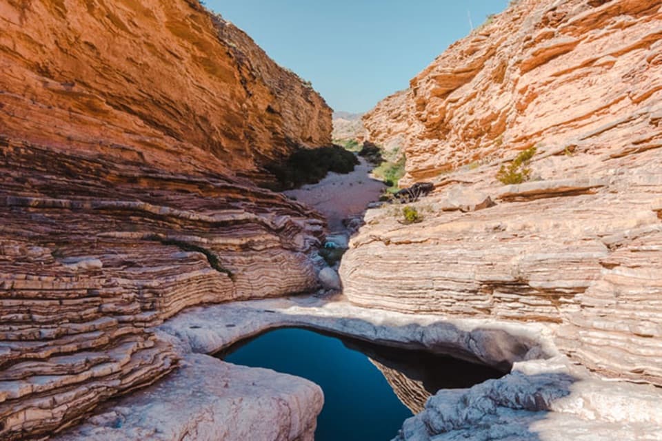
A short walk to giant oyster fossils and a deep desert pool.
Overview
Map & elevation
Plan your hike

The highest, rockiest slopes around here are a summer buffet for grizzly bears.
Big Bend Tour Guide
Parkwolf is a GPS audio tour guide for Big Bend National Park. As you drive, it chimes in with what’s ahead: hidden gems, upcoming stops, history, geology, and wildlife, right through your car’s speakers.
See the Big Bend audio tourRecorded for this trailhead
Ernst Tinaja via Old Ore Road“You're approaching Old Ore Road, the rough-road access to Ernst Tinaja's pool and folded orange limestone.”
Plays as you drive up to this trailhead in the Parkwolf Big Bend Tour Guide.
More stories near here in the app
“Fantastic app with many points of information… It’s great to just turn on while you’re driving and it gives you an audio tour of the national Park. We love it!!!!”


Trail guide
Ernst Tinaja Trail is a 1-mile out-and-back from a small Old Ore Road pullout to a natural limestone pool at the mouth of a canyon. Plan about one hour; the route rises roughly 20 feet. The nearly level path follows a high bank beside a tributary of Tornillo Creek, crossing deep sand and strips of bedrock. Near the pool it merges into the sandy creek bed; smooth, water-worn ledges make the final approach a short scramble.
The signed parking area is about five miles along Old Ore Road from its southern end. This is a primitive backcountry road, not a paved turnoff: when it is open, reaching the trailhead requires a high-clearance vehicle with true four-wheel drive. The parking area is small. Pets are prohibited on park trails. Old Ore Road was used in the early 1900s to carry ore from Mexican mines to the railroad in Marathon.
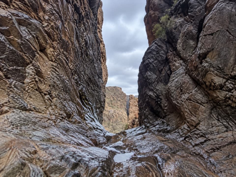
The destination is a 13-foot natural rock pool in the creekbed, with steep smooth sides and water year round. Look for orange swirling bands in the limestone and giant oyster fossils. In Spanish, tinaja means a large earthen jar; in Big Bend the word describes natural water holes shaped by erosion. The pothole sits in Buda Formation limestone, with marine fossils and iron-rich bands in the higher Boquillas beds.
The rock around the water has been smoothed by flowing creek water and can be slippery, especially where the short scramble reaches the pool. Keep sure footing near its steep edge. For a photo, frame the dark water together with the layered orange and pale limestone; that shows both the pool and the geology that makes this stop distinctive.
Wildlife
 377 sightingsBlack BearMost seen around 7 PMSighting map
 329 sightingsCollared PeccaryMost seen around 7 PMSighting map
 500 sightingsWhite-tailed DeerMost seen around 7 PMSighting map
 985 sightingsRoadrunnerMost seen around 8 AMSighting map
 228 sightingsRavenMost seen around 5 PMSighting map
 264 sightingsTurkey VultureMost seen around noonSighting map
Sighting maps show where each species has been reported across Big Bend. Wildlife moves, so no sighting is guaranteed.
Keep exploring
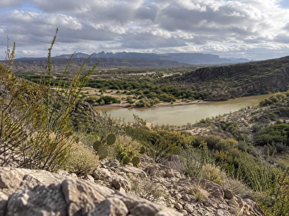 EasyRio Grande Village Nature Trail0.8 mi · 30 min · 6.5 mi awayWetland boardwalk and a short ridge loop with Rio Grande views.
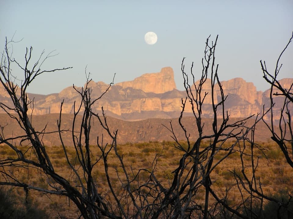 ChallengingMarufo Vega Trail14 mi · 10 hr · 6.8 mi awayA strenuous 14-mile loop with remote canyon and Rio Grande views.
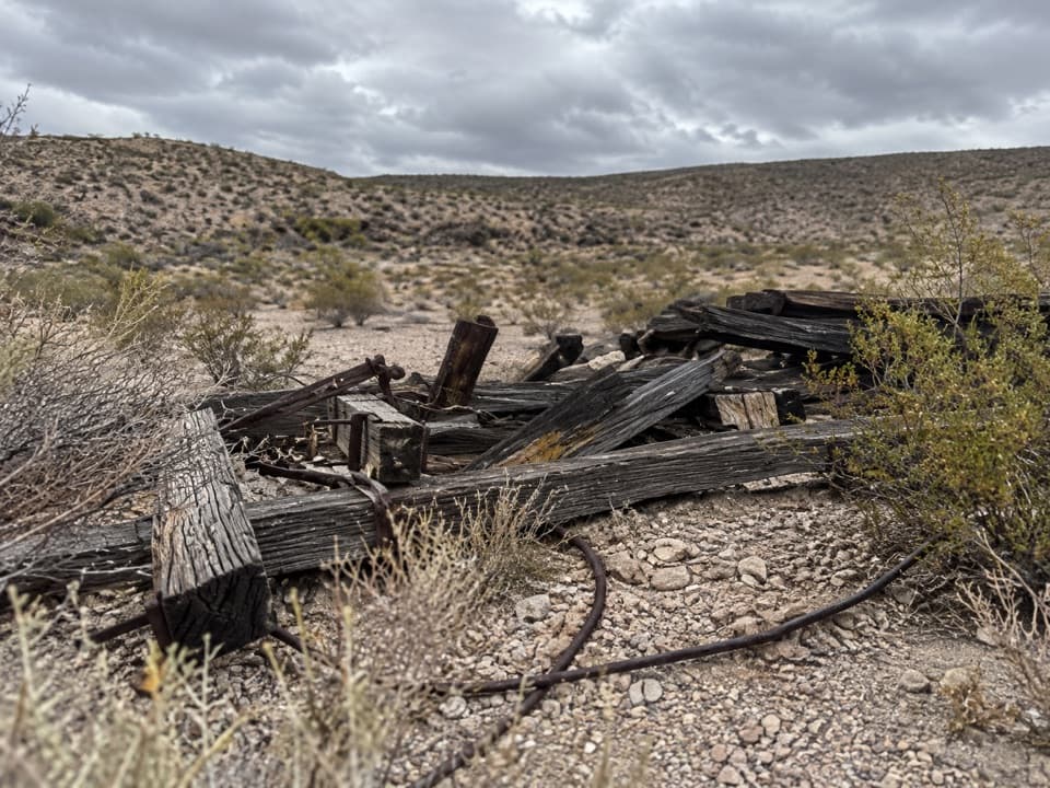 ModerateOre Terminal Trail8.7 mi · 4.5 hr · 6.8 mi awayFollow the old ore tramway to its ridge-top terminal.
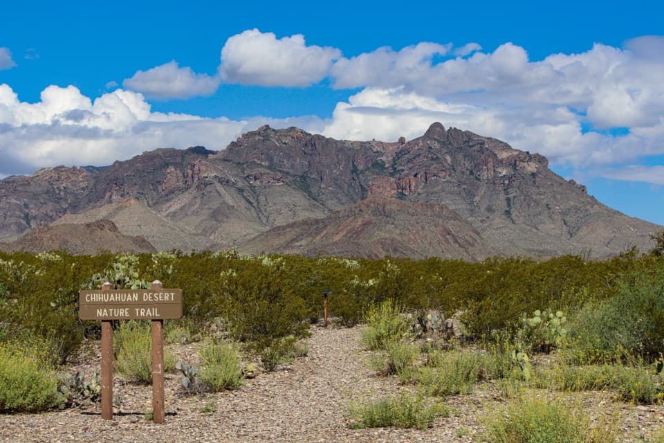 EasyChihuahuan Desert Nature Trail0.5 mi · 30 min · 7 mi awayA short desert loop puts names to the plants around you.
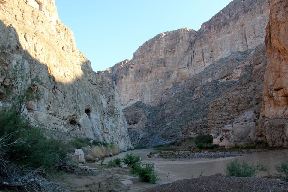 EasyBoquillas Canyon Trail1.5 mi · 1 hr · 7.2 mi awayA short climb opens onto the Rio Grande beneath canyon walls.
 EasyLone Mountain Trail2.7 mi · 1.5 hr · 12.3 mi awayA sunlit loop around Lone Mountain’s volcanic base.
 ModeratePine Canyon Trail4 mi · 3 hr · 12.4 mi awayDesert grassland gives way to a shaded canyon and cliff pour-off.
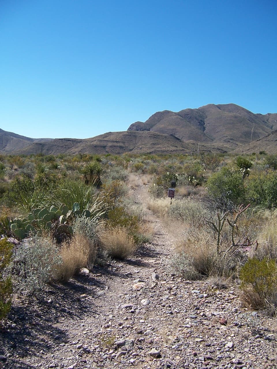 ChallengingJuniper Canyon Trail6.2 mi · 6 hr · 13.3 mi awayA remote 6.2-mile climb from desert grassland to the High Chisos.Sight · 1 mi awayErnst TinajaFolded orange limestone frames a fossil-rich desert pool.
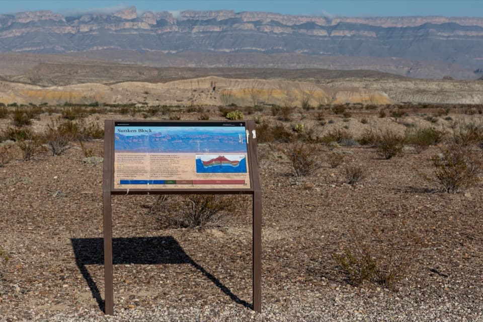 Sight · 4 mi awaySunken Block ExhibitA roadside geology stop that makes Big Bend's sunken basin click.
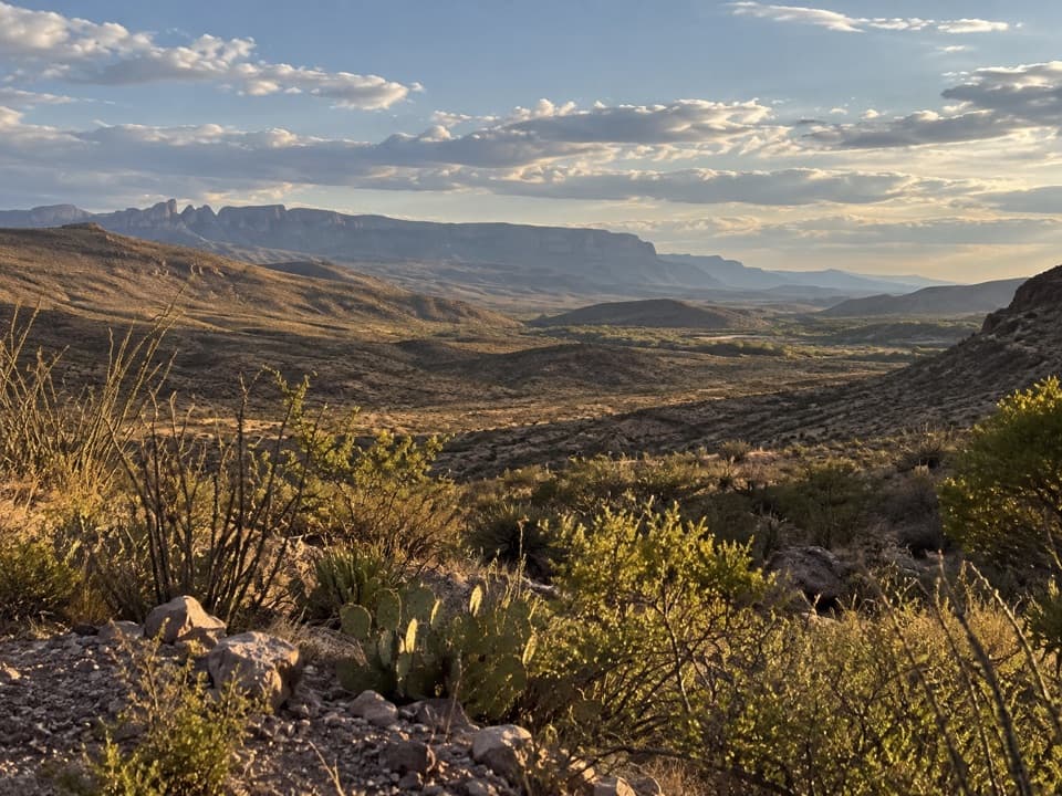 Sight · 4.5 mi awayRio Grande OverlookA short climb to Sierra del Carmen and Dead Man’s Curve.
 Sight · 5.2 mi awayLangford Hot SpringsA warm soak inside a historic bathhouse foundation.
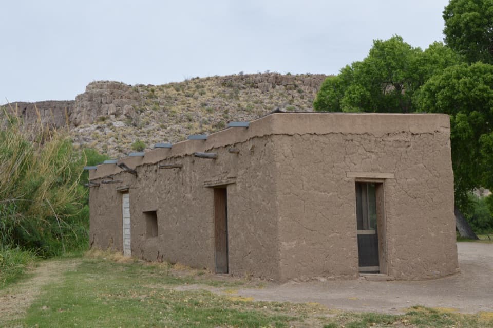 Picnic area · 5.5 mi awayDaniels RanchA shaded picnic stop beside a surviving adobe farmhouse.
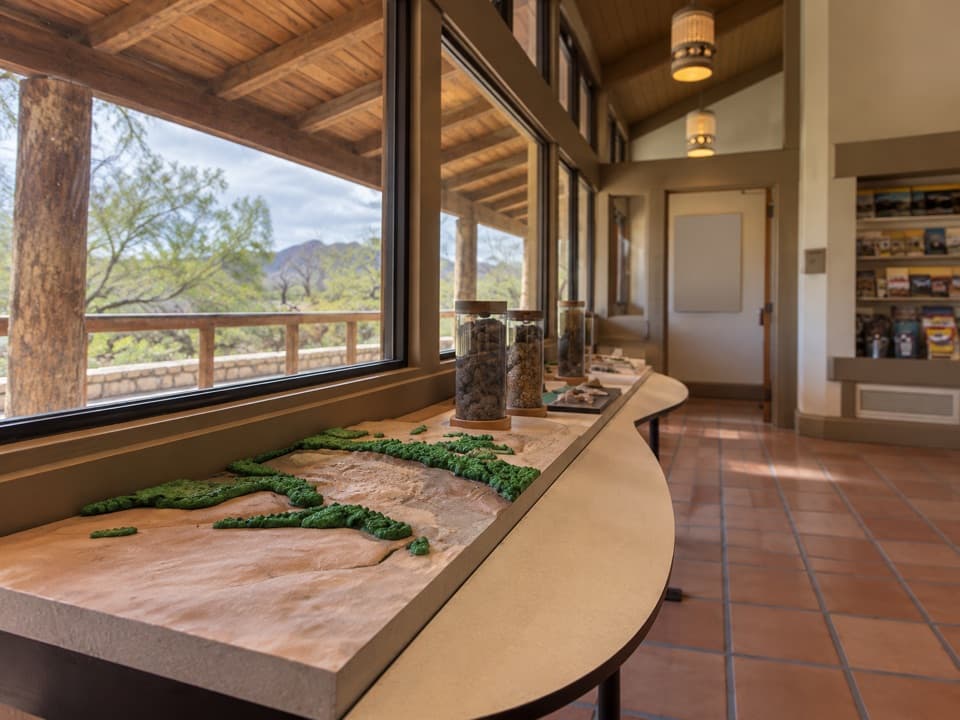 Visitor center · 5.9 mi awayRio Grande Village Visitor CenterA useful ranger stop with a raised map of the Rio Grande.
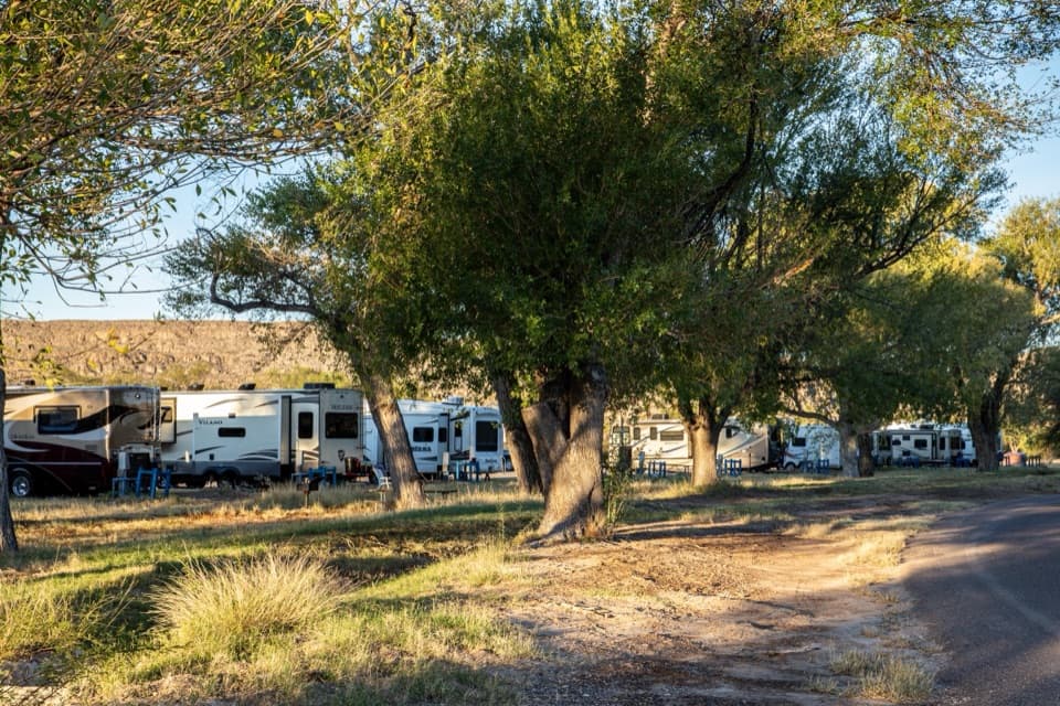 Campground · 5.9 mi awayRio Grande Village RV CampgroundThe park’s only full-hookup RV base, with a store next door.
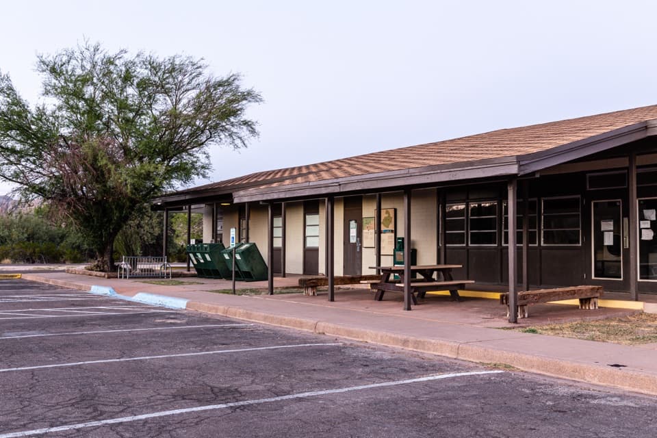 Store · 6 mi awayRio Grande Village StoreThe east-side stop for fuel, showers, and camp supplies.
Parkwolf’s Big Bend ranking

The audio tour guide for the drive, plus offline maps, trails, and wildlife heatmaps for when the signal drops.