Blue Creek Trail in Big Bend National Park

Big Bend National Park, TX

Blue Creek Trail

A red-rock wash walk with a hard climb into the Chisos.

Photo: National Park Service
Length
5.8mi
Time
4hr
Elev. change
2,618ft
Difficulty
Challenging
  • No dogs
  • High point 6,791 ft
  • #20 of 45 in Big Bend

Hear the audio tour

Homer Wilson Ranch

Overview

About Blue Creek Trail

Why go

  • Red-rock towers make the lower canyon rewarding even as a shorter walk.
  • The route changes from desert wash to Chisos woodland.

Heads up

  • The upper switchbacks make for a strenuous climb of about 2,700 feet.
  • The named trail ends at a junction; reaching Basin parking adds 3.75 miles.

Map & elevation

The route

Loading the Big Bend map
Full map
Elevation4,173–6,791 ft
TrailheadHomer Wilson Ranch Trailhead, Ross Maxwell Scenic Drive pullout29.21663, -103.36926
Keep this map with you offline in the Parkwolf app

Plan your hike

Before you go

Parking

Start at the Homer Wilson Ranch pullout on Ross Maxwell Scenic Drive. The Blue Creek route begins at the ranch below, reached by a short access path; parking is available for several vehicles. The far end is the Laguna Meadow junction, not a car park. Arrange pickup at Chisos Basin after another 3.75 miles on Laguna Meadow Trail, or return to Homer Wilson.

Safety

The sandy, rocky wash has cairn-marked exits that are easy to miss. The upper route narrows and becomes steep and rocky, with roughly 2,700 feet of climbing. Carry all water in this hot, dry climate; no dependable source is identified on route. Pets are prohibited on park trails.

2 active Big Bend alerts

  • ClosureWeather-related road closuresDo not use these closed roads; NPS lists the closures as in effect until further notice.Official details
  • InfoBoquillas Crossing schedule changeBoquillas Crossing is open Friday through Monday, 9:00 a.m.–4:00 p.m.; NPS says it will not change to winter hours at this time. Check current park conditions before planning a crossing.Official details
Big Bend alerts
A park ranger sits on a dash-mounted phone, talking, as Parkwolf’s Tour Guide plays “Army Cutworm Moths: A Grizzly Bear Buffet” on Grand Loop Road below Dunraven Pass in Yellowstone
Parkwolf Tour GuideThe highest, rockiest slopes around here are a summer buffet for grizzly bears.

Big Bend Tour Guide

Your drive to Blue Creek Trail, narrated.

Parkwolf is a GPS audio tour guide for Big Bend National Park. As you drive, it chimes in with what’s ahead: hidden gems, upcoming stops, history, geology, and wildlife, right through your car’s speakers.

See the Big Bend audio tour

Recorded for this trailhead

Homer Wilson Ranch
0:00 / 0:30
“You're coming up on Homer Wilson Ranch Overlook, with an old sheep-and-goat camp in the valley below.”

Plays as you drive up to this trailhead in the Parkwolf Big Bend Tour Guide.

More stories near here in the app

  • Sotol Vista
  • Upper Burro Mesa Pouroff
  • Life Between the Desert Plants
  • Why Adobe Needs More Mud
  • 110 audio storiesacross Big Bend’s roads, triggered by GPS as you drive
  • Wildlife heatmapsfor Black Bear, Collared Peccary, White-tailed Deer, and 13 more
  • Works offlinemaps, 45 trails, 64 places, and audio download before you lose signal
  • CarPlay readysimple controls built for the drive
★★★★★
“Fantastic app with many points of information… It’s great to just turn on while you’re driving and it gives you an audio tour of the national Park. We love it!!!!”
JMJamesApp Store review
Download Parkwolf on the App StoreGet Parkwolf on Google Play

4.7 from 8,600+ ratings

Trail guide

Hiking Blue Creek Trail

A canyon walk that ends high in the ChisosBlue Creek is a 5.

Blue Creek is a 5.75-mile point-to-point walk one way, from the Homer Wilson Ranch pullout to the Laguna Meadow Trail junction. The named Blue Creek trail is 5.5 miles from the ranch; the approach down from the pullout adds about a quarter-mile. The route moves from desert wash and red canyon walls into open grassland, then pinyon pine woodland. Choose it for a substantial canyon-to-mountain hike, not a quick stroll. Plan around four hours uphill, plus stops, for roughly 2,700 feet of climbing.

The line ends at the Laguna Meadow junction, not a road or parking lot. Continue 3.75 miles down Laguna Meadow Trail to reach Chisos Basin parking, for about 9.5 miles from the pullout. Returning to the pullout by Blue Creek makes the whole outing about 11.5 miles.

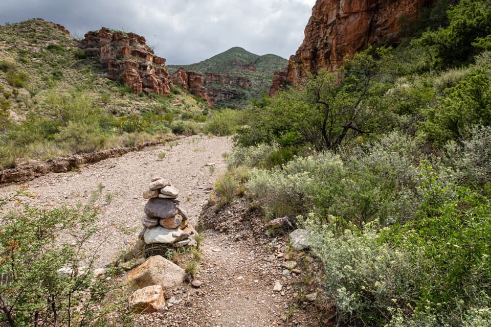
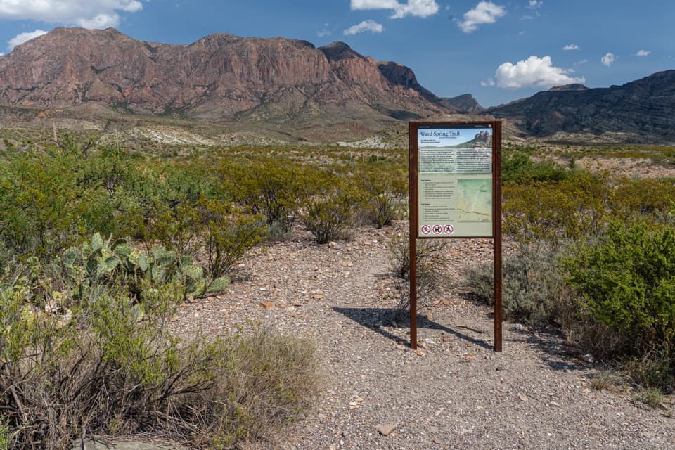
Watch where the trail leaves the washFrom the pullout, follow the short rock-and-gravel access path down to the ranch.

From the pullout, follow the short rock-and-gravel access path down to the ranch. Blue Creek then follows a sandy, rocky wash, moving between the creek bed and grassy benches. The trail leaves and re-enters the wash at several points; cairns mark those entrances and exits, and some are easy to miss. Stay with the established line and do not add rock stacks—random cairns can send the next hiker the wrong way.

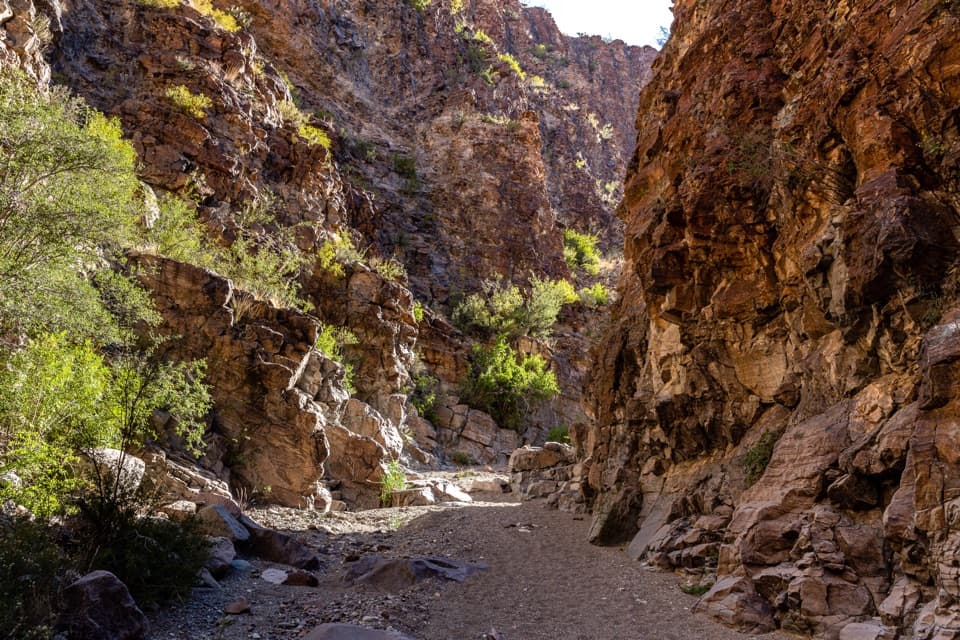
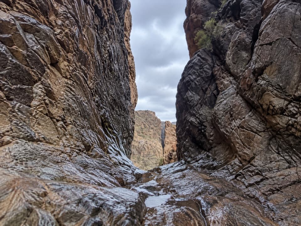
Red rocks make a natural turnaroundAbout a mile into the lower canyon, red pinnacles and hoodoo-like towers crowd the drainage.

About a mile into the lower canyon, red pinnacles and hoodoo-like towers crowd the drainage. The canyon briefly narrows between red walls, then opens among the formations again. This is the payoff for the shorter lower-canyon outing: the park describes a roughly 3-mile round trip to the red rocks and back, with the distance shifting a little with your turnaround. For photos, let the pale wash lead into the towers so the frame shows both the route and the scale of the rocks.

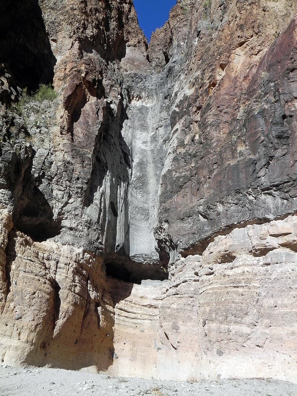
The climb to Laguna MeadowPast the red formations, the canyon keeps rising.

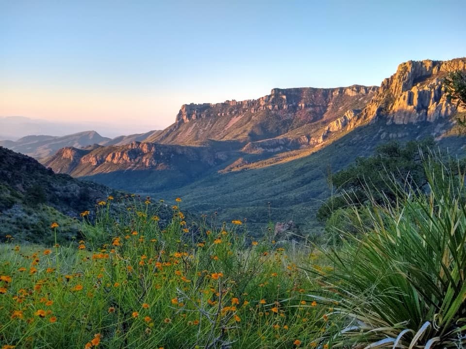
Past the red formations, the canyon keeps rising. Trees become more common and views open toward the Chisos peaks. Around mile 4.2 from the ranch, the route leaves the canyon floor and climbs steep, rocky switchbacks up the headwall. This is the hardest stretch and a clear change from following the drainage below. At the top, the trail meets Laguna Meadow Trail; the mapped Blue Creek route stops at that junction.

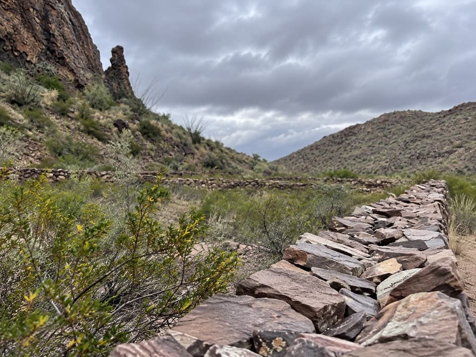
A ranch site at the startHomer Wilson's Blue Creek line camp was an early-20th-century ranch site.

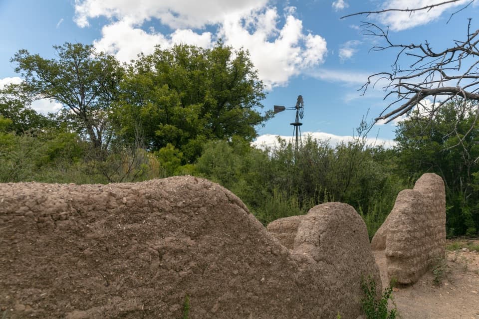
Homer Wilson's Blue Creek line camp was an early-20th-century ranch site. Near the beginning of the walk, the ranch house and remnants of a corral and livestock-dipping vat sit among the brush. Take a look as you pass, then stay on the route: the line camp and the canyon are both part of the walk's story.

Water and transportCarry all your drinking water; the park recommends one liter per person for each planned hiking…

Carry all your drinking water; the park recommends one liter per person for each planned hiking hour, and no dependable source is identified along this route. Pets are not allowed on park trails. The pullout has room for several vehicles. A one-way hike needs a pickup plan: either add the 3.75-mile Laguna Meadow descent to Chisos Basin or return the same way to Homer Wilson.

Wildlife

Wildlife in Big Bend

All Big Bend wildlife maps

Sighting maps show where each species has been reported across Big Bend. Wildlife moves, so no sighting is guaranteed.

Keep exploring

Near Blue Creek Trail

See it all on the map

Trails that start nearby

Places near the trailhead

Parkwolf’s Big Bend ranking

Top-rated trails in Big Bend

All 45 trails
  1. 1South Rim TrailChallenging · 12.5 mi
  2. 2Santa Elena Canyon TrailEasy · 1.6 mi
  3. 3Lost Mine TrailModerate · 4.8 mi
  4. 4Emory Peak TrailChallenging · 10.5 mi
  5. 5The Window TrailModerate · 5.5 mi
  6. 6Grapevine Hills TrailModerate · 2.2 mi

Take Parkwolf to Big Bend.

The audio tour guide for the drive, plus offline maps, trails, and wildlife heatmaps for when the signal drops.

4.7 from 8,600+ ratings

Download Parkwolf on the App StoreGet Parkwolf on Google Play