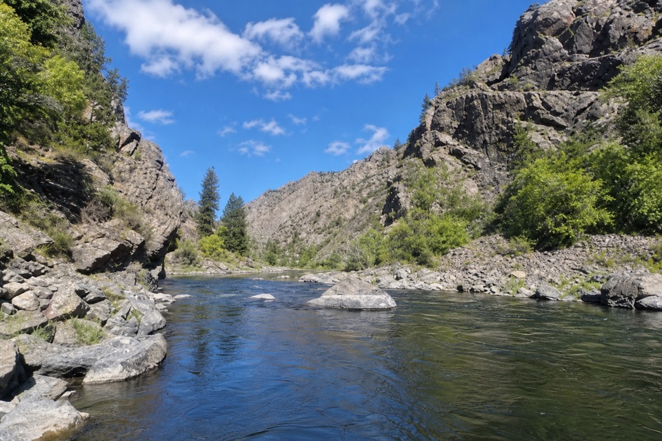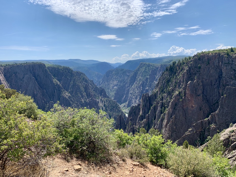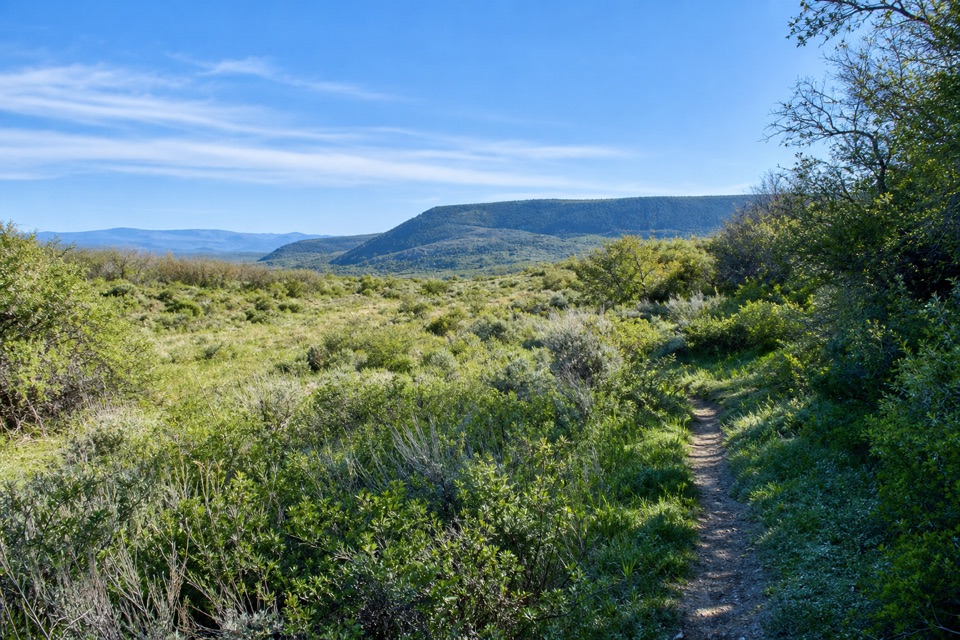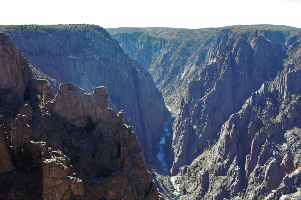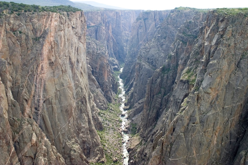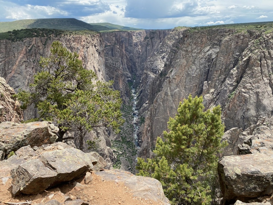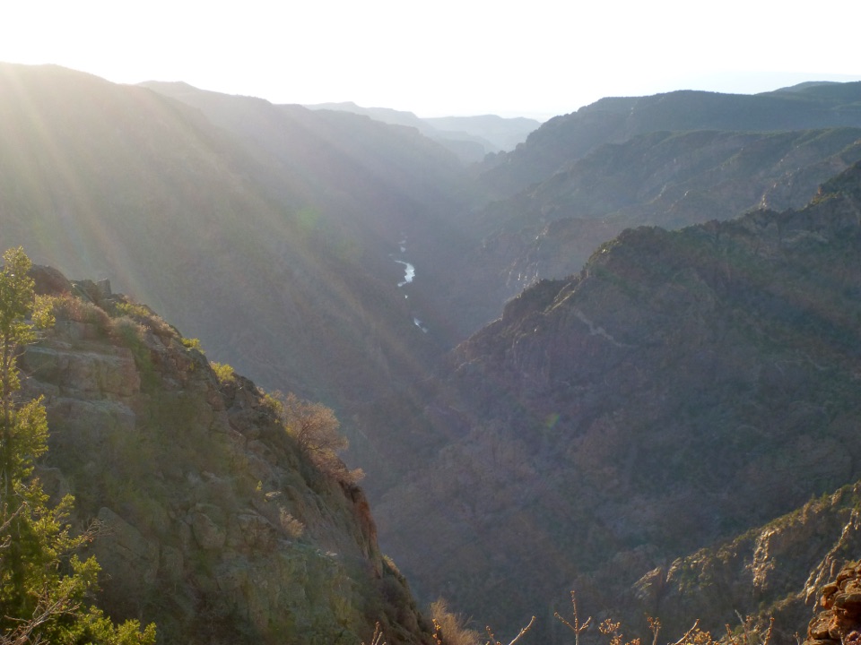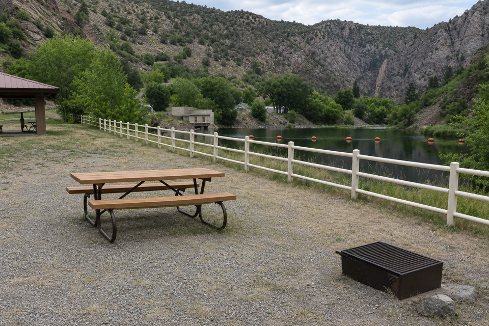
East Portal Picnic Area in Black Canyon of the Gunnison National Park

Picnic area · Black Canyon of the Gunnison National Park

East Portal Picnic Area

A riverside picnic with a 5.8-mile engineering story.

Type
Picnic area
Nearest trail
0.3 mi
Audio stories
4 nearby
  • Parking
  • Restrooms
  • Picnic tables

Hear the audio tour

East Portal by the Gunnison River

Overview

About East Portal Picnic Area

Why stop

  • A rare river-level break from the South Rim overlook circuit.
  • The tunnel and vanished town make this picnic stop unusually interesting.

Heads up

  • The steep road excludes vehicles over 22 feet, including trailers.

Map

Where it is

Loading the Black Canyon of the Gunnison map
Full map
Picnic areaEast Portal Picnic Area38.52350, -107.64959
Keep this map with you offline in the Parkwolf app

Plan your stop

Before you go

3 active Black Canyon of the Gunnison alerts

  • ClosureSouth Rim Campground Partially Closed After 2025 FireSouth Rim Campground is open with only 25 non-electric sites available; some campground areas remain closed to all access because of effects from the 2025 South Rim Fire and the resulting safety and…Official details
  • ClosureTomichi Route Closed; Gunnison Route Has Burned-Area HazardsDo not enter the closed Tomichi Route or other closed or burned areas; the Gunnison Route remains hazardous because of effects from the 2025 South Rim Fire.Official details

See all 3 alerts
A park ranger sits on a dash-mounted phone, talking, as Parkwolf’s Tour Guide plays “Army Cutworm Moths: A Grizzly Bear Buffet” on Grand Loop Road below Dunraven Pass in Yellowstone
Parkwolf Tour GuideThe highest, rockiest slopes around here are a summer buffet for grizzly bears.

Black Canyon of the Gunnison Tour Guide

Your drive to East Portal Picnic Area, narrated.

Parkwolf is a GPS audio tour guide for Black Canyon of the Gunnison National Park. As you drive, it chimes in with what’s ahead: hidden gems, upcoming stops, history, geology, and wildlife, right through your car’s speakers.

Recorded for this place

East Portal by the Gunnison River
0:00 / 0:36
“You're approaching East Portal, where you can picnic beside the Gunnison River at the bottom of the canyon.”

Plays as you drive up to East Portal Picnic Area in the Parkwolf Black Canyon of the Gunnison Tour Guide.

More stories near here in the app

  • A Songbird Underwater
  • A River with Three Dams
  • Air Mattresses in the Canyon
  • A River Locked into Its Route
  • 23 audio storiesacross Black Canyon of the Gunnison’s roads, triggered by GPS as you drive
  • Wildlife heatmapsfor Bighorn Sheep, Mule Deer, Red-tailed Hawk, and 13 more
  • Works offlinemaps, 13 trails, 29 places, and audio download before you lose signal
  • CarPlay readysimple controls built for the drive
★★★★★
“Fantastic app with many points of information… It’s great to just turn on while you’re driving and it gives you an audio tour of the national Park. We love it!!!!”
JMJamesApp Store review
Download Parkwolf on the App StoreGet Parkwolf on Google Play

4.7 from 8,600+ ratings

Guide

More about East Portal Picnic Area

A picnic at the bottom of the canyonEast Portal Picnic Area is a first-come, day-use picnic stop near the Gunnison River at the…

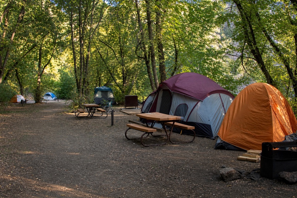
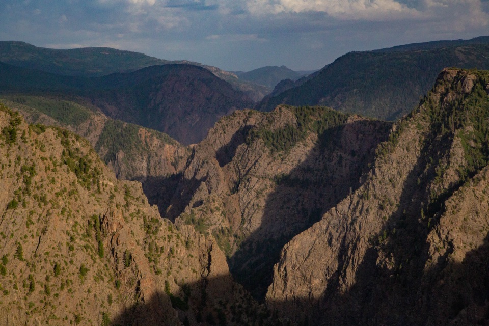
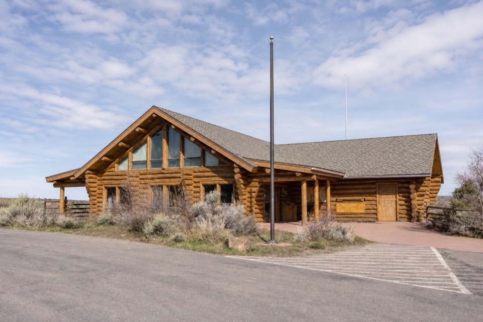
East Portal Picnic Area is a first-come, day-use picnic stop near the Gunnison River at the bottom of Black Canyon. It’s a good change from the rim overlooks if you want a picnic at river level and time to explore the story of East Portal. Tables are provided, and the restrooms are in the parking lot.

The road down is part of the tripEast Portal is within Curecanti National Recreation Area, but you can reach it only from Black…

East Portal is within Curecanti National Recreation Area, but you can reach it only from Black Canyon’s South Rim. The paved, two-way road is winding and reaches 16% grades, so use low gear on the descent. Vehicles longer than 22 feet, including trailers, are prohibited. The road typically closes in winter, from about November through April.

The tunnel that changed the valleyThe East Portal takes its name from the Gunnison Tunnel and the settlement that grew around its…

The East Portal takes its name from the Gunnison Tunnel and the settlement that grew around its construction. From 1905 to 1909, workers cut a 5.8-mile tunnel through the canyon to carry Gunnison River water west to farms in the Uncompahgre Valley. Its gentle 0.2% grade let the water flow by gravity, and the tunnel can carry more than 1,000 cubic feet per second.

A town built for the workAt its 1906 peak, fewer than 250 people lived at East Portal.

At its 1906 peak, fewer than 250 people lived at East Portal. The work town had bunkhouses, family cabins, a dining hall, hospital, post office, general store, library, billiard hall, school and a three-generator power plant. Little of the town remains, but interpretive waysides tell the story of the residents and tunnel workers; summer ranger walks may also be offered.

Wildlife

Wildlife in Black Canyon of the Gunnison

All Black Canyon of the Gunnison wildlife maps

Sighting maps show where each species has been reported across Black Canyon of the Gunnison. Wildlife moves, so no sighting is guaranteed.

Keep exploring

Near East Portal Picnic Area

See it all on the map

Trails nearby

More stops nearby

Parkwolf’s Black Canyon of the Gunnison ranking

Top sights in Black Canyon of the Gunnison

All 29 places
  1. 1Painted Wall OverlookSight
  2. 2Gunnison Point OverlookSight
  3. 3Chasm View Overlook (South Rim)Sight
  4. 4Exclamation PointSight
  5. 5Sunset View OverlookSight
  6. 6North Chasm ViewSight

Take Parkwolf to Black Canyon of the Gunnison.

The audio tour guide for the drive, plus offline maps, trails, and wildlife heatmaps for when the signal drops.

4.7 from 8,600+ ratings

Download Parkwolf on the App StoreGet Parkwolf on Google Play