Chukar Geologic Trail in Black Canyon of the Gunnison National Park

Black Canyon of the Gunnison National Park, CO

Chukar Geologic Trail

Faint old-road climb ends at a canyon-rim overlook.

Length
1.5mi
Time
1.5hr
Elev. change
410ft
Difficulty
Moderate
  • No dogs
  • High point 6,529 ft
Parkwolf audio tour23 stories across Black Canyon of the Gunnison’s roads

Overview

About Chukar Geologic Trail

Why go

  • Distinct agate and chert along the climb
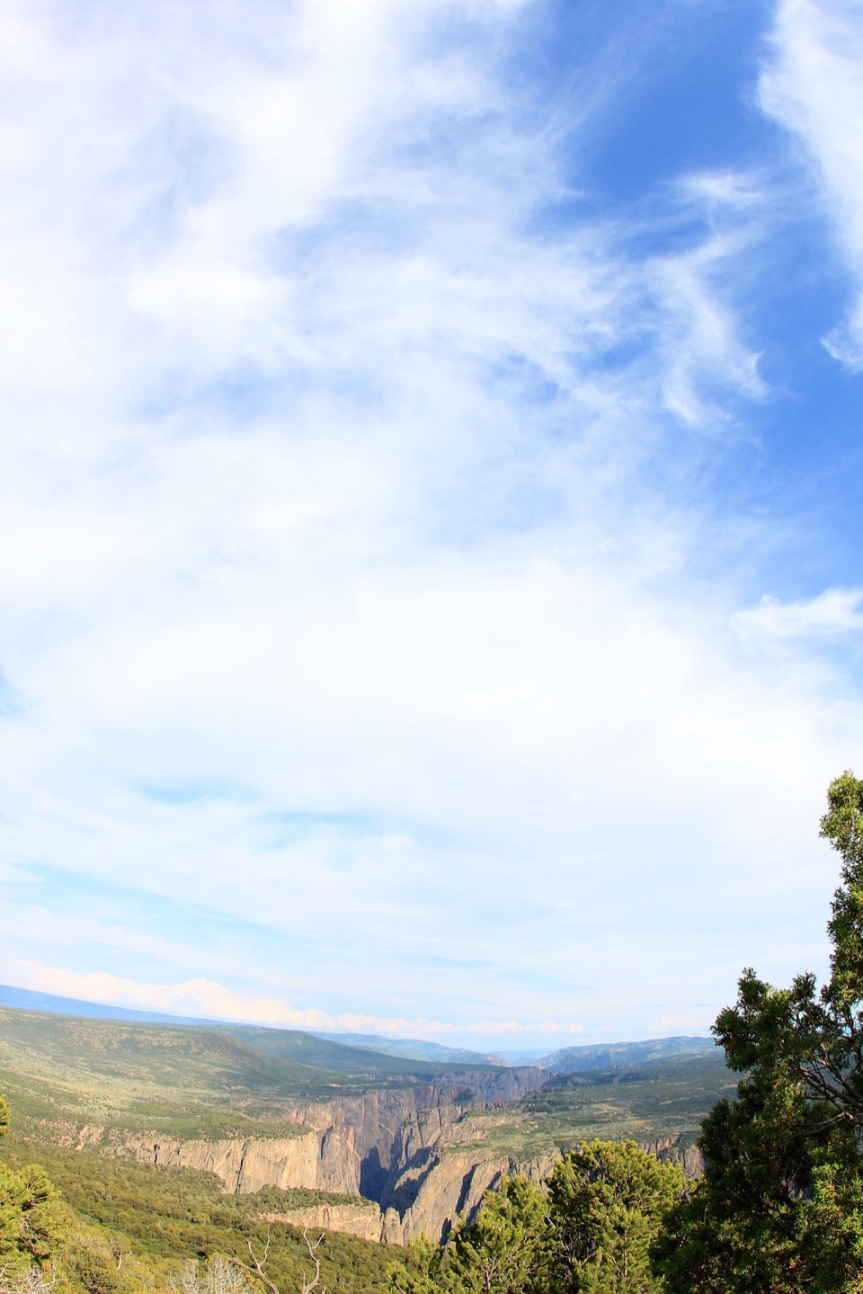
  • A ridge view into the Black Canyon toward Green Mountain

Heads up

  • Faint, unmarked tread at the draw
  • Primitive high-clearance road access

Map & elevation

The route

Loading the Black Canyon of the Gunnison map
Full map
Elevation6,119–6,529 ft
TrailheadChukar Geologic Trailhead38.61097, -107.83164
Keep this map with you offline in the Parkwolf app

Plan your hike

Before you go

Parking

Use the separate gravel pull-off for Chukar Geologic Trail on Chukar Road, shortly before the main Chukar river-trailhead. Follow Peach Valley Road to the Chukar Road turnoff. The approach roads are primitive and can be impassable when wet; high-clearance four-wheel drive is strongly recommended.


Safety

The tread is faint and unmarked at the start; stay on the right side of the draw until it crosses at the shallow end. The route enters Black Canyon Wilderness, where pets are prohibited. BLM requires self-issued wilderness permits and trailhead sign-in; the closest permit station is at the main Chukar site. Access roads can be impassable when wet.

3 active Black Canyon of the Gunnison alerts

  • ClosureSouth Rim Campground Partially Closed After 2025 FireSouth Rim Campground is open with only 25 non-electric sites available; some campground areas remain closed to all access because of effects from the 2025 South Rim Fire and the resulting safety and…Official details
  • ClosureTomichi Route Closed; Gunnison Route Has Burned-Area HazardsDo not enter the closed Tomichi Route or other closed or burned areas; the Gunnison Route remains hazardous because of effects from the 2025 South Rim Fire.Official details
See all 3 alerts
A park ranger sits on a dash-mounted phone, talking, as Parkwolf’s Tour Guide plays “Army Cutworm Moths: A Grizzly Bear Buffet” on Grand Loop Road below Dunraven Pass in Yellowstone
Parkwolf Tour GuideThe highest, rockiest slopes around here are a summer buffet for grizzly bears.

Black Canyon of the Gunnison Tour Guide

Your drive to Chukar Geologic Trail, narrated.

Parkwolf is a GPS audio tour guide for Black Canyon of the Gunnison National Park. As you drive, it chimes in with what’s ahead: hidden gems, upcoming stops, history, geology, and wildlife, right through your car’s speakers.

More stories near here in the app

  • High Point and Warner Point Trail
  • 23 audio storiesacross Black Canyon of the Gunnison’s roads, triggered by GPS as you drive
  • Wildlife heatmapsfor Bighorn Sheep, Mule Deer, Red-tailed Hawk, and 13 more
  • Works offlinemaps, 13 trails, 29 places, and audio download before you lose signal
  • CarPlay readysimple controls built for the drive
★★★★★
“Fantastic app with many points of information… It’s great to just turn on while you’re driving and it gives you an audio tour of the national Park. We love it!!!!”
JMJamesApp Store review
Download Parkwolf on the App StoreGet Parkwolf on Google Play

4.7 from 8,600+ ratings

Trail guide

Hiking Chukar Geologic Trail

A short climb to a ridge viewChukar Geologic Trail is a 1.

Chukar Geologic Trail is a 1.5-mile out-and-back from its own pull-off on Chukar Road to a ridge above the Gunnison Gorge. BLM lists 0.75 mile each way and 445 feet of climbing; allow about 90 minutes. This is a short geology-and-view hike, not the separate Chukar Trail descent to the river.

Follow the old roadThe faint tread leaves the pull-off to the southeast, stays on the right side of a shallow…

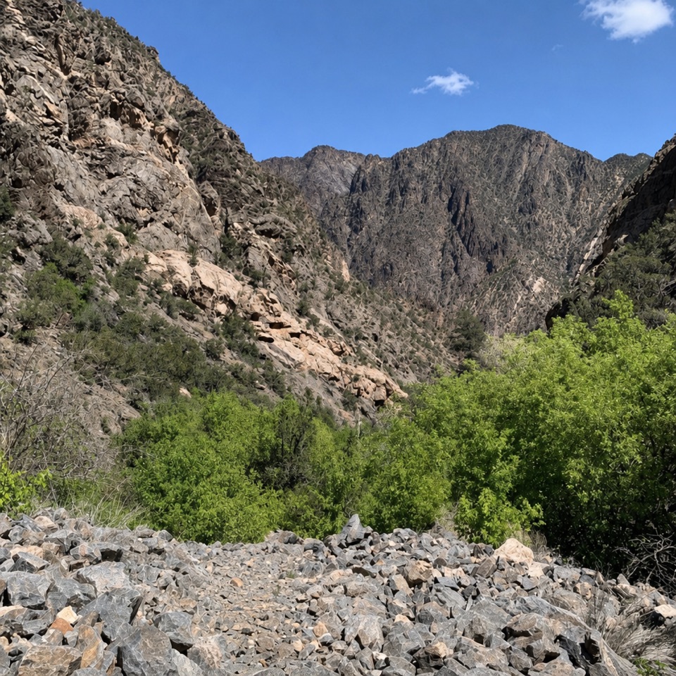
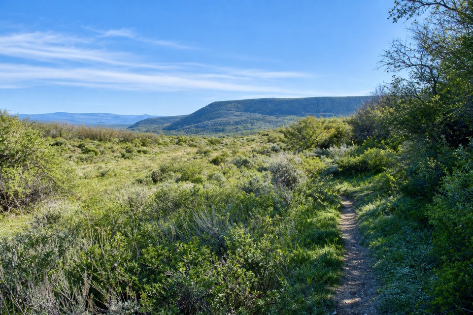
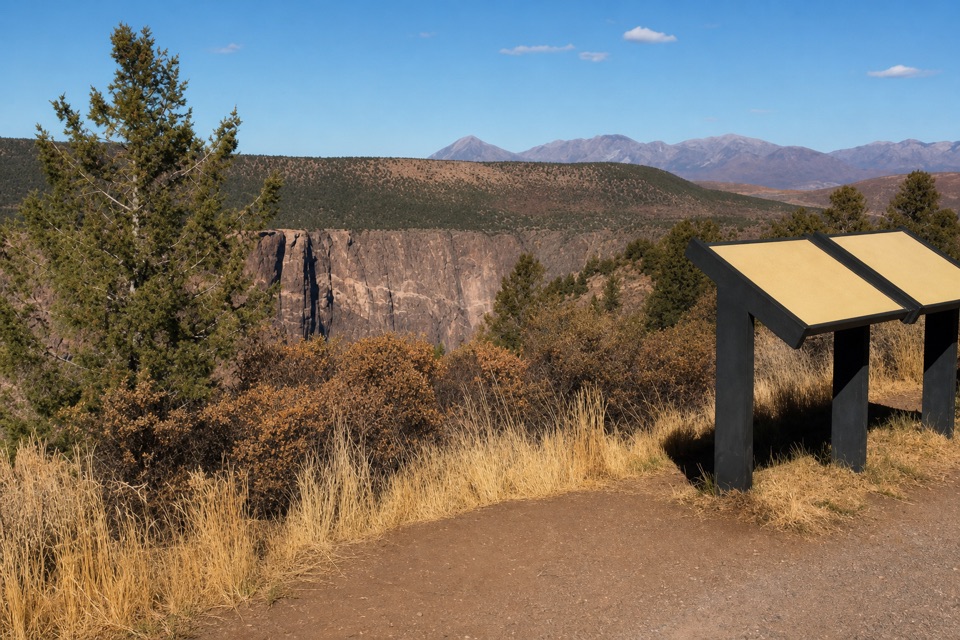
The faint tread leaves the pull-off to the southeast, stays on the right side of a shallow draw, then crosses at its shallow end before climbing an old jeep road. The route is unmarked, so follow that road uphill to the ridge view and retrace it. If you need a clearly signed path, pick another hike.

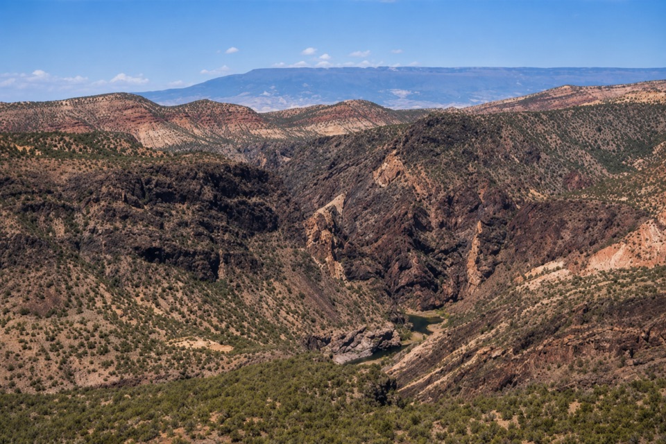
Agate, chert and the canyonRed, yellow and black agate lie across parts of the hillside, with chert along much of the…

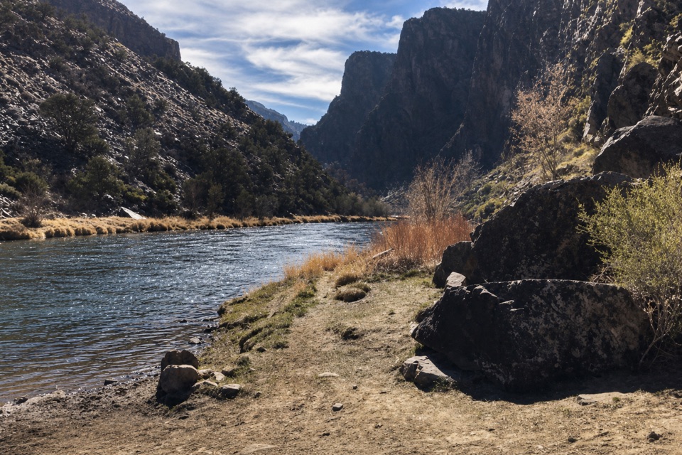
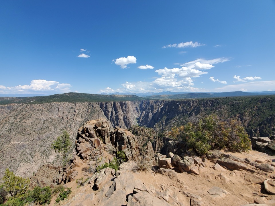
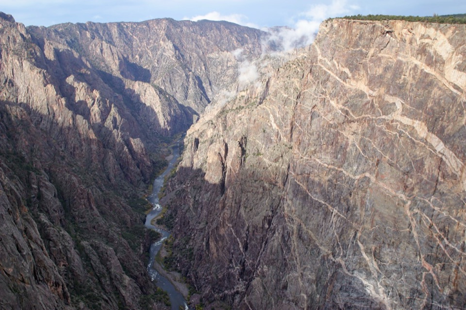
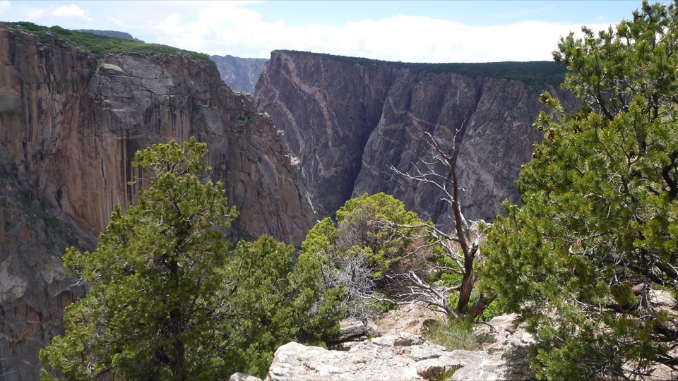
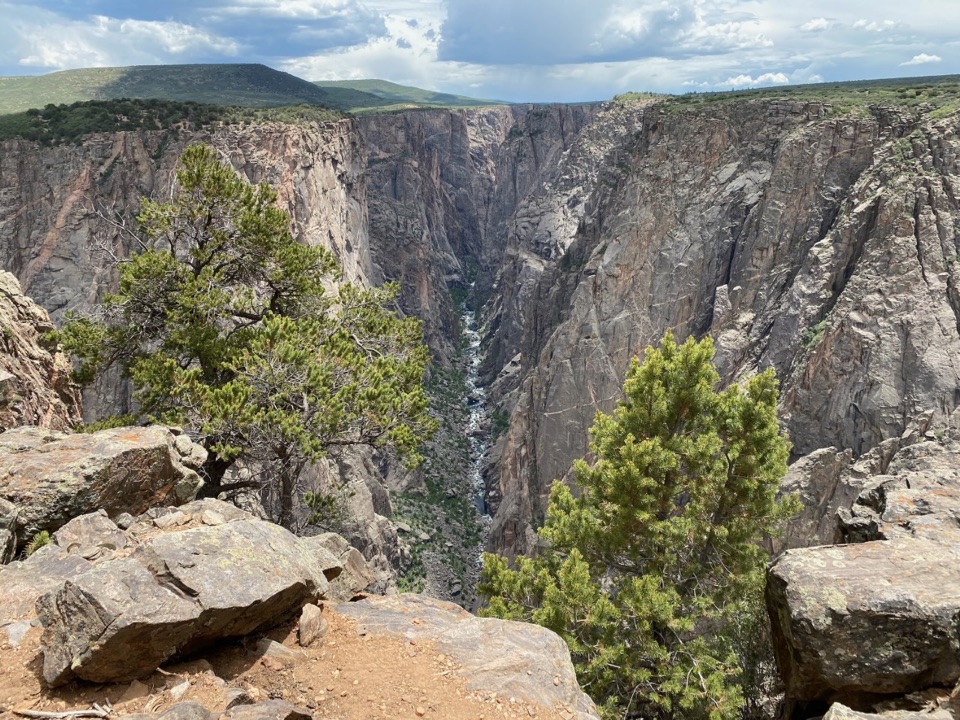
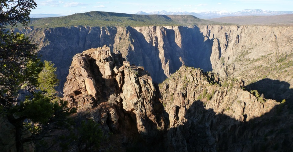
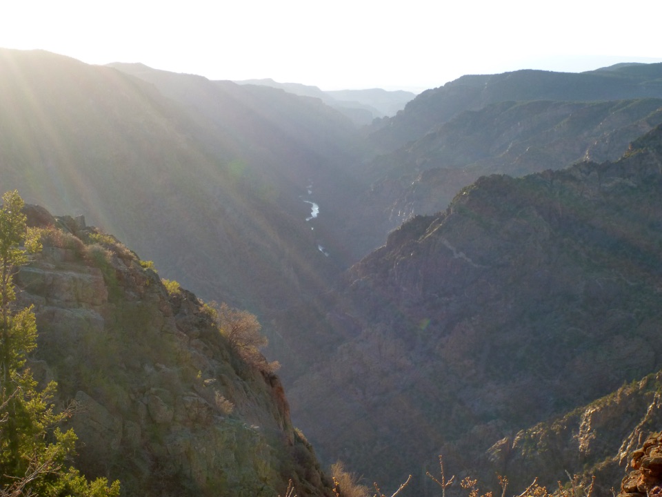
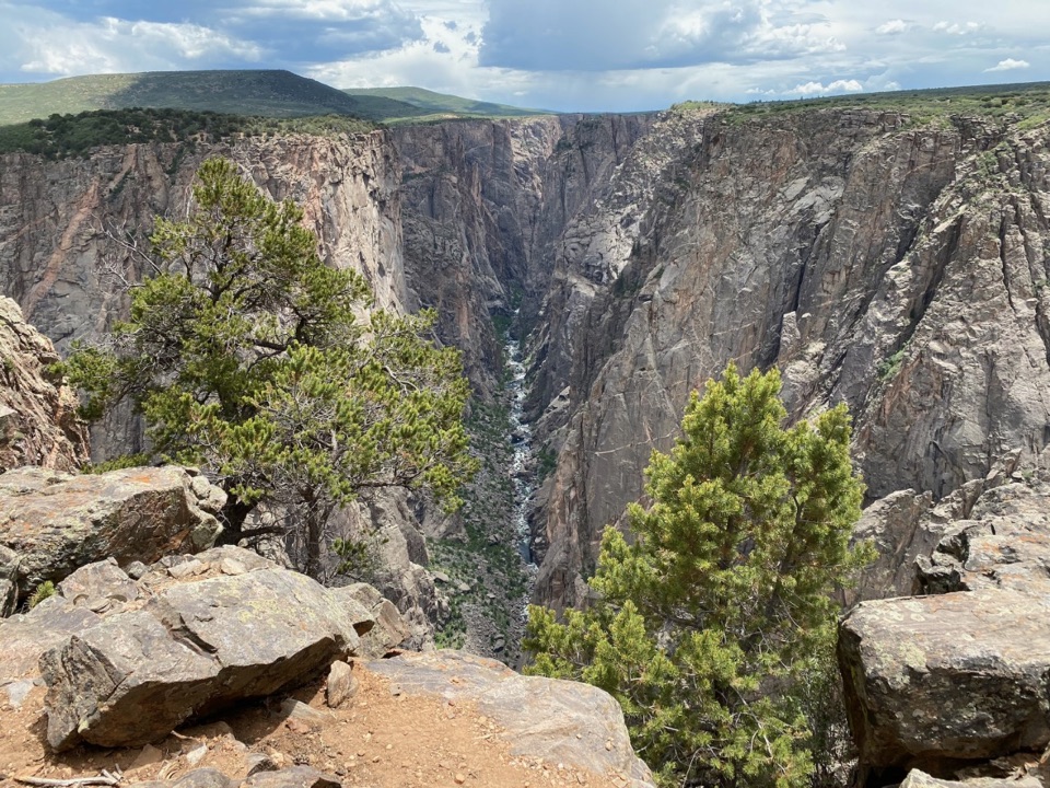
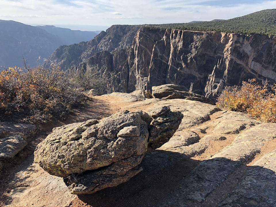
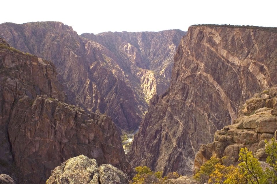
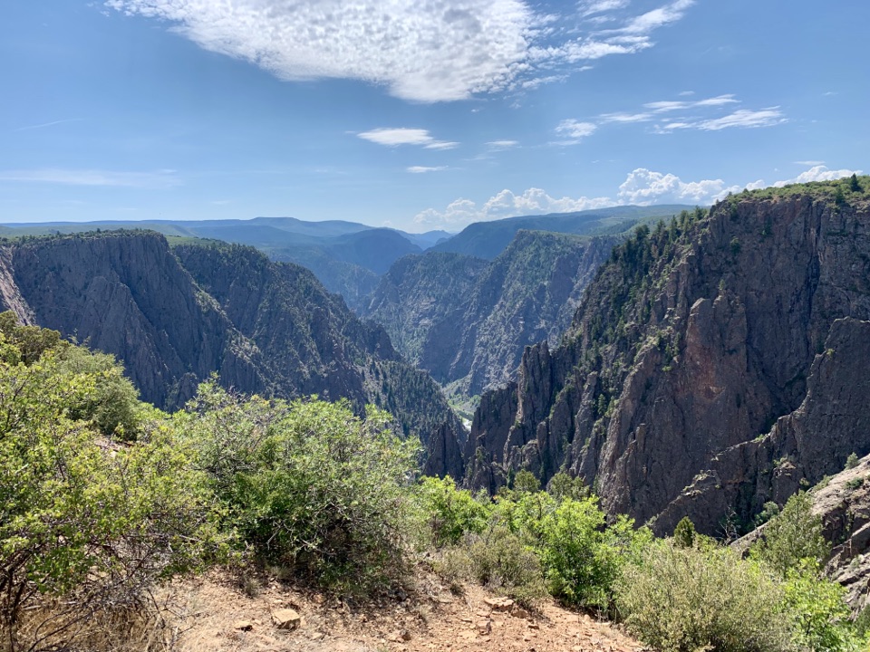
Red, yellow and black agate lie across parts of the hillside, with chert along much of the climb. At the ridge, the Black Canyon walls look higher and more vertical, with Green Mountain across the gorge. For a photo, include some of the pale foreground slope with the dark ravine; a tight crop of the cliffs loses the canyon's depth.

Access, permits and petsUse the Geologic gravel pull-off just before the main Chukar recreation site; the two access…

Use the Geologic gravel pull-off just before the main Chukar recreation site; the two access points serve different routes. The approach roads are primitive and can be impassable when wet, so high-clearance four-wheel drive is strongly recommended. BLM requires a self-issued wilderness permit and trailhead sign-in for designated wilderness; the permit station is at the main Chukar site, not the Geologic pull-off. The route enters Black Canyon Wilderness, where pets are prohibited.

Wildlife

Wildlife in Black Canyon of the Gunnison

All Black Canyon of the Gunnison wildlife maps

Sighting maps show where each species has been reported across Black Canyon of the Gunnison. Wildlife moves, so no sighting is guaranteed.

Keep exploring

Near Chukar Geologic Trail

See it all on the map

Trails that start nearby

Places near the trailhead

Parkwolf’s Black Canyon of the Gunnison ranking

Top-rated trails in Black Canyon of the Gunnison

All 13 trails
  1. 1North Vista Trail (to Exclamation Point)Moderate · 2.9 mi
  2. 2Warner Point TrailModerate · 1.6 mi
  3. 3North Vista Trail to Green MountainChallenging · 6.4 mi
  4. 4Cedar Point Nature TrailEasy · 0.4 mi
  5. 5Chasm View Nature TrailModerate · 0.5 mi
  6. 6Rim Rock TrailModerate · 1 mi

Take Parkwolf to Black Canyon of the Gunnison.

The audio tour guide for the drive, plus offline maps, trails, and wildlife heatmaps for when the signal drops.

4.7 from 8,600+ ratings

Download Parkwolf on the App StoreGet Parkwolf on Google Play