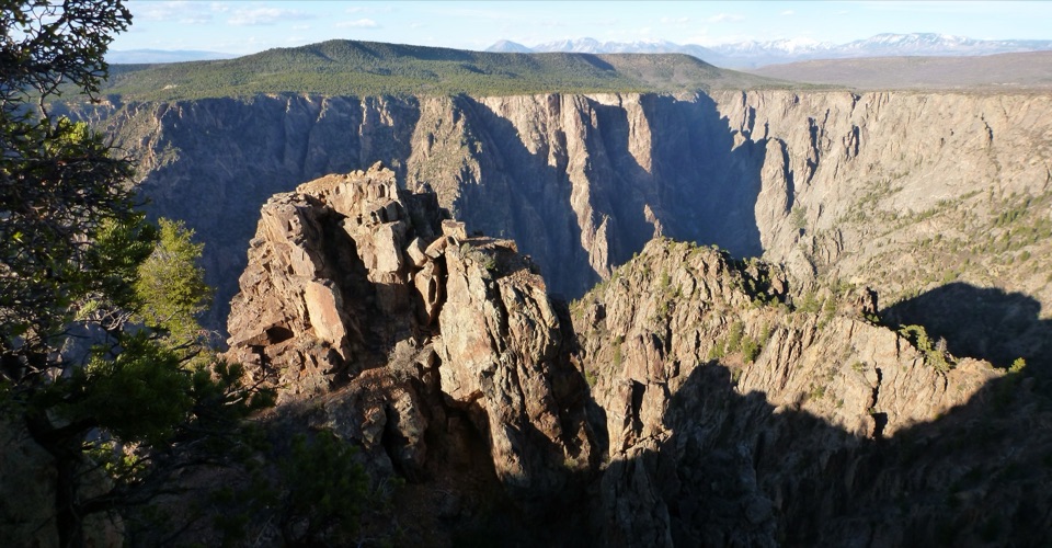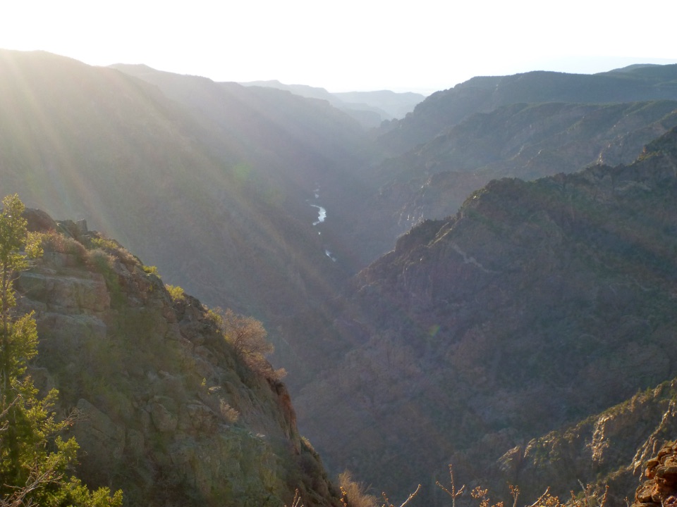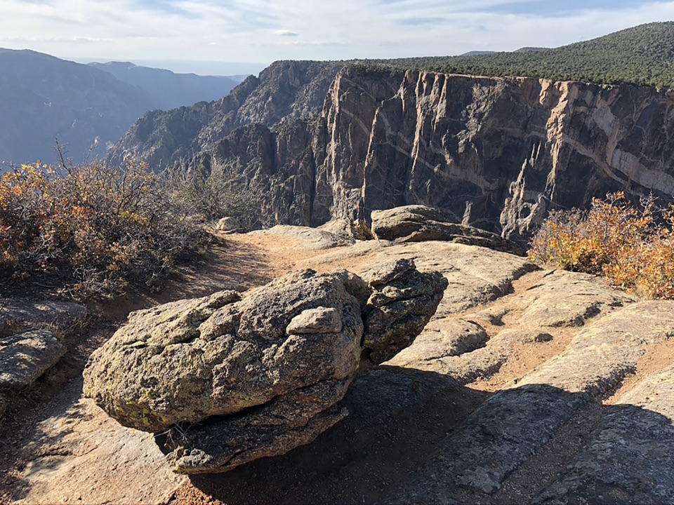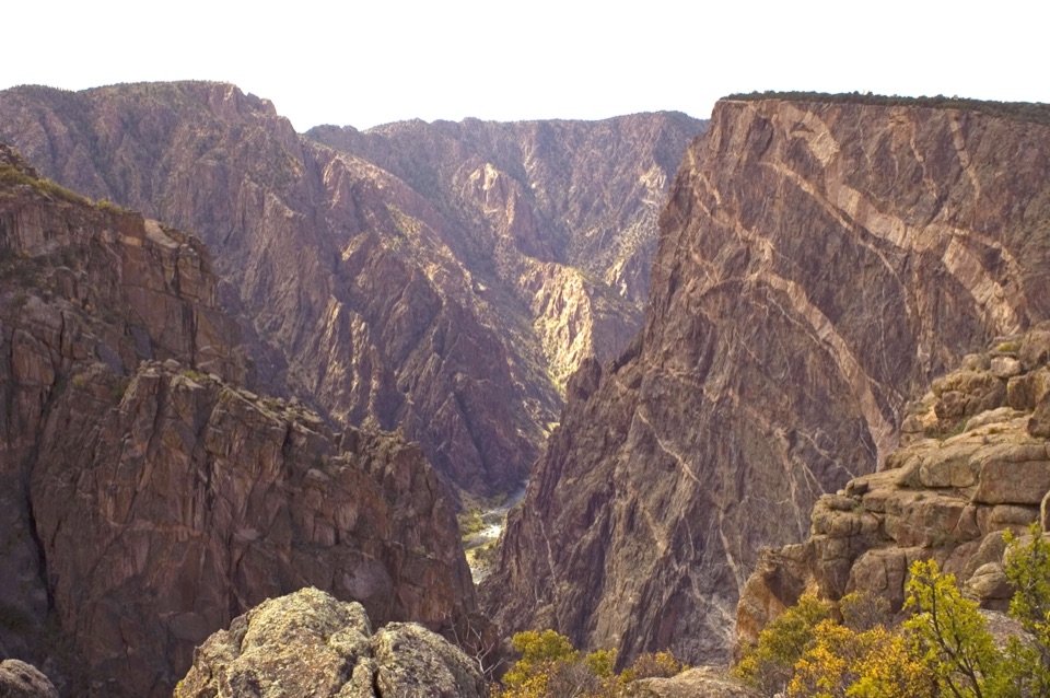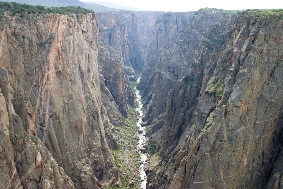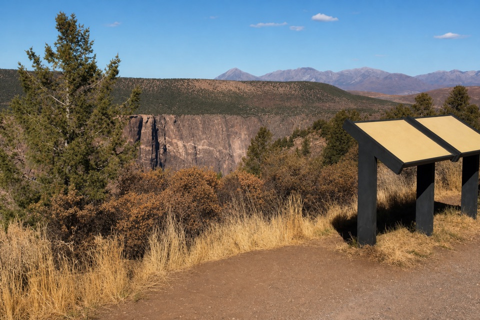
High Point Overlook in Black Canyon of the Gunnison National Park

Sight · Black Canyon of the Gunnison National Park

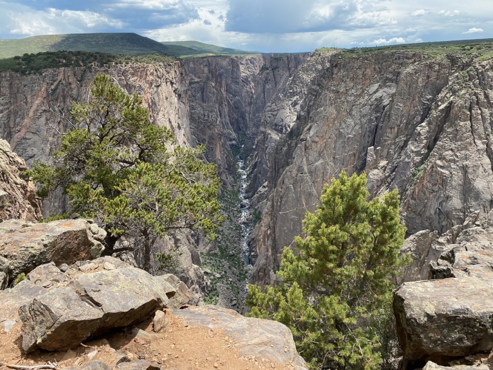
High Point Overlook

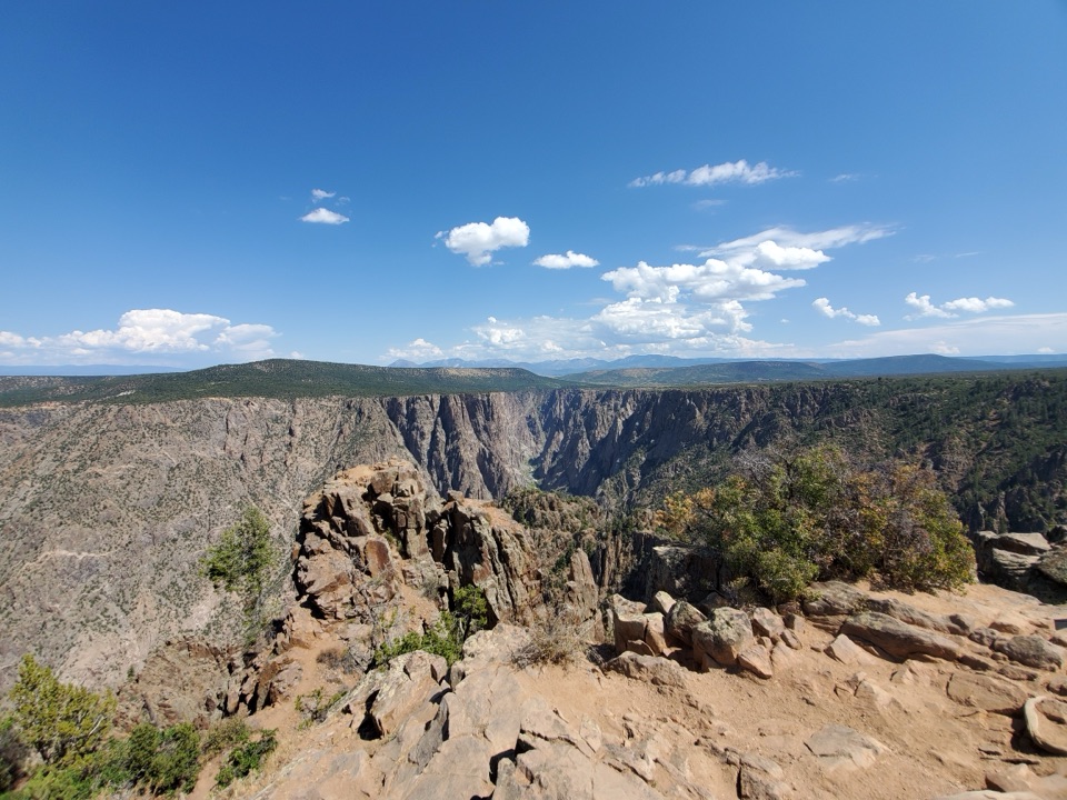
The last drive-up stop pairs canyon views with a picnic area.

Type
Sight
Nearest trail
Right here
Audio stories
5 nearby
  • Scenic viewpoint
  • Parking
  • Picnic tables
  • Restrooms

Hear the audio tour

High Point and Warner Point Trail

Overview

About High Point Overlook

Why stop

  • A drive-up canyon overlook, picnic area and trailhead share one stop.

Map

Where it is

Loading the Black Canyon of the Gunnison map
Full map
SightHigh Point Overlook38.56245, -107.74202
Keep this map with you offline in the Parkwolf app

Plan your stop

Before you go

3 active Black Canyon of the Gunnison alerts

  • ClosureSouth Rim Campground Partially Closed After 2025 FireSouth Rim Campground is open with only 25 non-electric sites available; some campground areas remain closed to all access because of effects from the 2025 South Rim Fire and the resulting safety and…Official details
  • ClosureTomichi Route Closed; Gunnison Route Has Burned-Area HazardsDo not enter the closed Tomichi Route or other closed or burned areas; the Gunnison Route remains hazardous because of effects from the 2025 South Rim Fire.Official details

See all 3 alerts
A park ranger sits on a dash-mounted phone, talking, as Parkwolf’s Tour Guide plays “Army Cutworm Moths: A Grizzly Bear Buffet” on Grand Loop Road below Dunraven Pass in Yellowstone
Parkwolf Tour GuideThe highest, rockiest slopes around here are a summer buffet for grizzly bears.

Black Canyon of the Gunnison Tour Guide

Your drive to High Point Overlook, narrated.

Parkwolf is a GPS audio tour guide for Black Canyon of the Gunnison National Park. As you drive, it chimes in with what’s ahead: hidden gems, upcoming stops, history, geology, and wildlife, right through your car’s speakers.

Recorded for this place

High Point and Warner Point Trail
0:00 / 0:25
“Ahead is High Point, with a roadside canyon view and the start of Warner Point Trail.”

Plays as you drive up to High Point Overlook in the Parkwolf Black Canyon of the Gunnison Tour Guide.

More stories near here in the app

  • Sunset View Overlook
  • Cedar Point and the Plant Trail
  • Painted Wall Overlook
  • South Rim Chasm View
  • 23 audio storiesacross Black Canyon of the Gunnison’s roads, triggered by GPS as you drive
  • Wildlife heatmapsfor Bighorn Sheep, Mule Deer, Red-tailed Hawk, and 13 more
  • Works offlinemaps, 13 trails, 29 places, and audio download before you lose signal
  • CarPlay readysimple controls built for the drive
★★★★★
“Fantastic app with many points of information… It’s great to just turn on while you’re driving and it gives you an audio tour of the national Park. We love it!!!!”
JMJamesApp Store review
Download Parkwolf on the App StoreGet Parkwolf on Google Play

4.7 from 8,600+ ratings

Guide

More about High Point Overlook

Finish the South Rim drive hereHigh Point Overlook is the last roadside viewpoint on the paved, seven-mile South Rim Drive,…

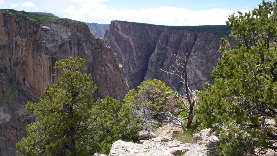
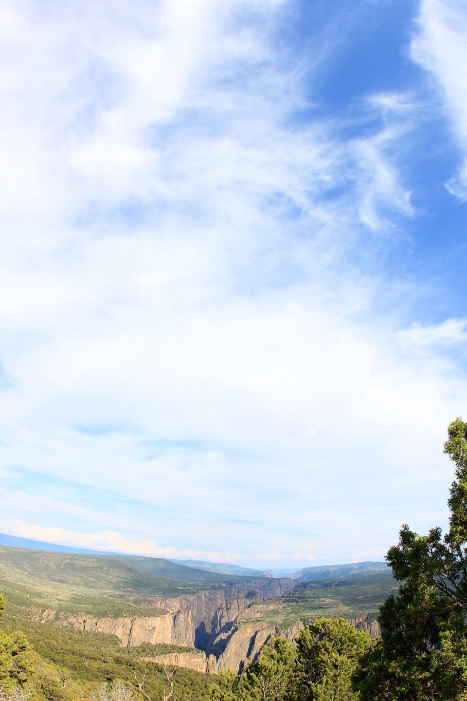
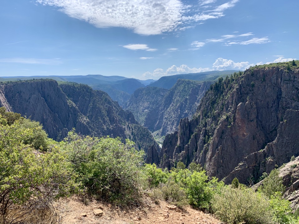
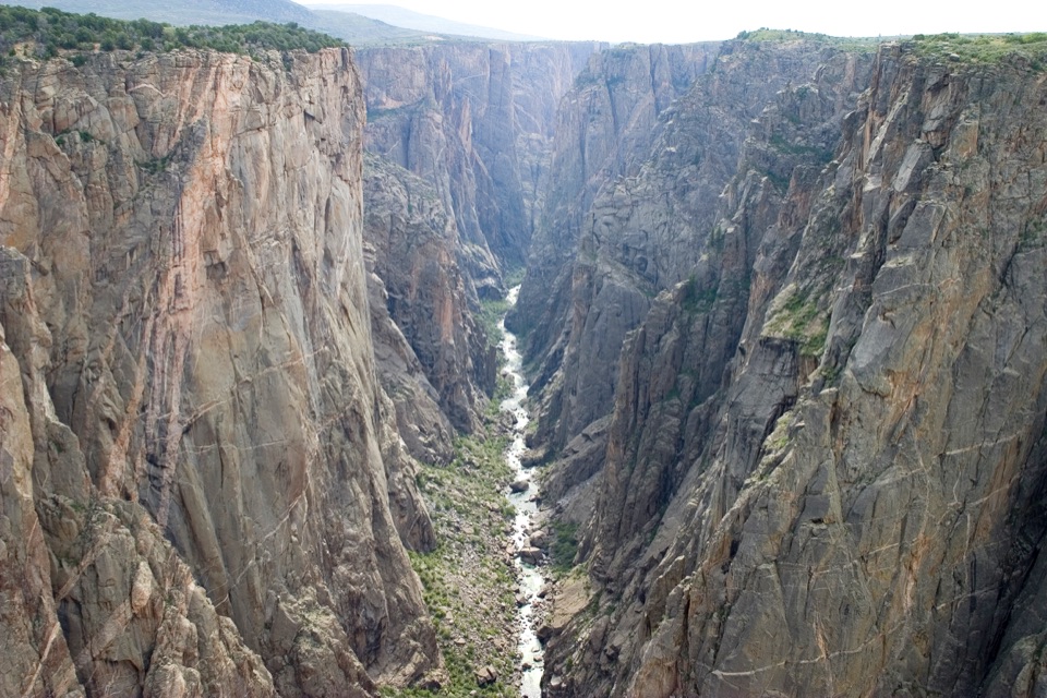
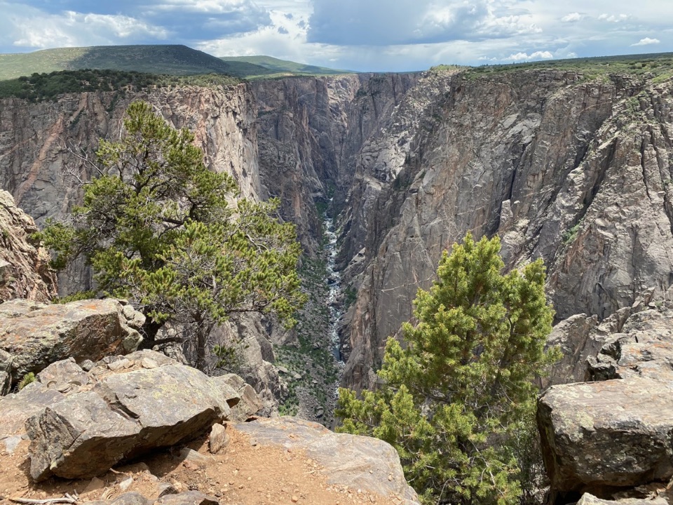
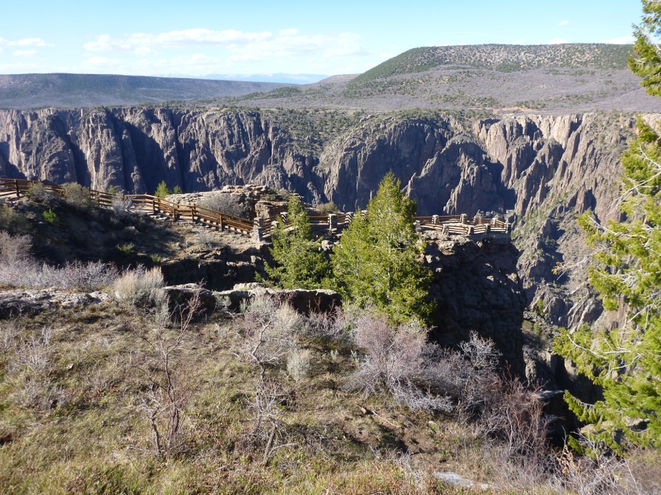
High Point Overlook is the last roadside viewpoint on the paved, seven-mile South Rim Drive, which has 12 overlooks. The canyon and mountain view is the easy payoff at the road’s end; you can see it without a separate approach walk. In winter and early spring, check vehicle access before planning to drive all the way here.

Make it a picnic stopThe High Point Picnic Area has tables and a vault/composting restroom in the parking lot.

The High Point Picnic Area has tables and a vault/composting restroom in the parking lot. Tables are first come, first served for day use, and there are no fire grates.

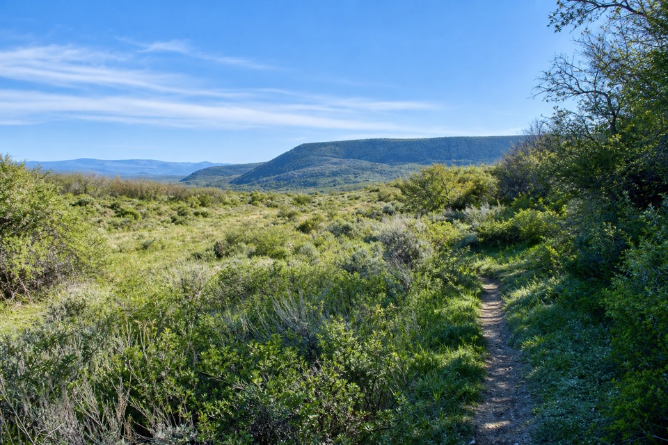
Keep walking to Warner PointThe Warner Point Nature Trail starts here as a separate hike.

The Warner Point Nature Trail starts here as a separate hike. It opens up views of Black Canyon, the Gunnison River and several mountain ranges, and nature-trail guides are available at the overlook or the South Rim Visitor Center. Choose the trail if you want more than a quick drive-up look.

A road built by local handsThe Montrose Lions Club began clearing the South Rim scenic drive in July 1928; the completed…

The Montrose Lions Club began clearing the South Rim scenic drive in July 1928; the completed road was dedicated in September 1930. High Point marks its far end.

The canyon’s long recordBlack Canyon’s exposed rocks span the Precambrian, Mesozoic and Cenozoic eras.

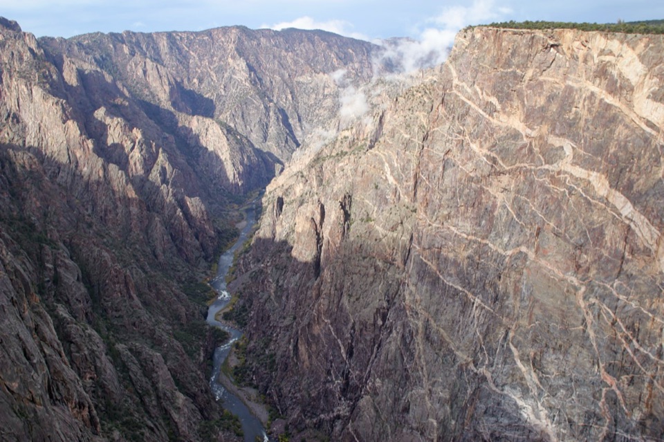
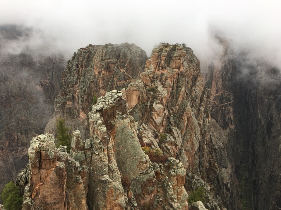
Black Canyon’s exposed rocks span the Precambrian, Mesozoic and Cenozoic eras. Its character comes from how steep walls, great depth and a narrow gorge come together, rather than a record for any one of those features.

Wildlife

Wildlife in Black Canyon of the Gunnison

All Black Canyon of the Gunnison wildlife maps

Sighting maps show where each species has been reported across Black Canyon of the Gunnison. Wildlife moves, so no sighting is guaranteed.

Keep exploring

Near High Point Overlook

See it all on the map

Trails nearby

More stops nearby

Parkwolf’s Black Canyon of the Gunnison ranking

Top sights in Black Canyon of the Gunnison

All 29 places
  1. 1Painted Wall OverlookSight
  2. 2Gunnison Point OverlookSight
  3. 3Chasm View Overlook (South Rim)Sight
  4. 4Exclamation PointSight
  5. 5Sunset View OverlookSight
  6. 6North Chasm ViewSight

Take Parkwolf to Black Canyon of the Gunnison.

The audio tour guide for the drive, plus offline maps, trails, and wildlife heatmaps for when the signal drops.

4.7 from 8,600+ ratings

Download Parkwolf on the App StoreGet Parkwolf on Google Play