Hebron Colony Falls (aka Hebron Falls or Hebron Rock Colony) is a rugged, boulder-choked series of cascades on Boone Fork. It’s a favorite stop along the Boone Fork Trail near Milepost 296 in Julian Price Memorial Park, bringing together rushing water, house-sized rocks, and a wild, tucked-away feel.
Why stop
Striking boulder field with multiple cascades and photo ops
Popular summer swimming holes along Boone Fork
Heads up
Slick rocks and tricky footing around the falls
Parking enforcement near roadside access; use Parkway trailheads
Periodic storm damage closures on the Boone Fork Trail
Park at Julian Price Park and hike Boone Fork; avoid Old Turnpike Rd.
2
At the first fork go right and don’t cross the first major bridge.
3
Bring shoes with grip—rocks are slick and scrambling is required.
4
Arrive early on weekends; parking is limited and fills fast.
5
Check for storm-related closures before setting out.
Plan your stop
Before you go
Best time to visit
For fewer people: early mornings on weekdays. Weekends can be busy and parking fills fast.
Photography: soft morning light works best; long exposures on cloudy days flatter the cascades.
Seasonal notes: spring brings stronger flow; summer is prime for wading; fall color adds extra pop but increases crowds.
How to Visit
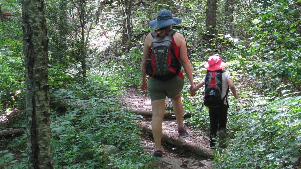
Best approach: Start at the Julian Price Park Picnic Area and hike the Boone Fork Trail (the full loop is about 5.5 miles). The most direct route to the falls is roughly 1.5 miles one way.
Key navigation: At the initial fork, go right to head for the falls. Don’t cross the first major bridge if Hebron is your goal; look for a small marker just before it.
Do not park along Old Turnpike Rd near the falls—ticketing and towing are enforced. Use designated Blue Ridge Parkway parking and hike in.
There is a popular but minimal roadside access off Shulls Mill Rd; expect limited shoulder parking and no facilities.
2 active Blue Ridge Parkway alerts
ClosureNorth Carolina Helene-related closuresAvoid the closed Parkway section from MP 344.2–355.3; recreation of any kind is prohibited there.Official details
ClosureVirginia Parkway closures and detourFollow the signed detour around the closed James River Bridge and avoid the closed Roanoke Mountain Loop. - James River Bridge (MP 63.5–63.Official details
Parkwolf Tour GuideThe highest, rockiest slopes around here are a summer buffet for grizzly bears.
Blue Ridge Parkway Tour Guide
Your drive to Hebron Colony Falls, narrated.
Parkwolf is a GPS audio tour guide for Blue Ridge Parkway. As you drive, it chimes in with what’s ahead: hidden gems, upcoming stops, history, geology, and wildlife, right through your car’s speakers.
“The parking area you're seeing is for Trout Lake, a quieter alternative to the more popular Bass Lake. There's an easy, shady 1.3-mile loop trail that circles the water here.”
Plays on the road 1 mi from Hebron Colony Falls in the Parkwolf Blue Ridge Parkway Tour Guide.
More stories near here in the app
Sims Creek Overlook: A Classic Creekside Loop
Sims Pond Trail: A Compact Loop with Lots of Variety
Julian Price's Creekside Picnic Spot
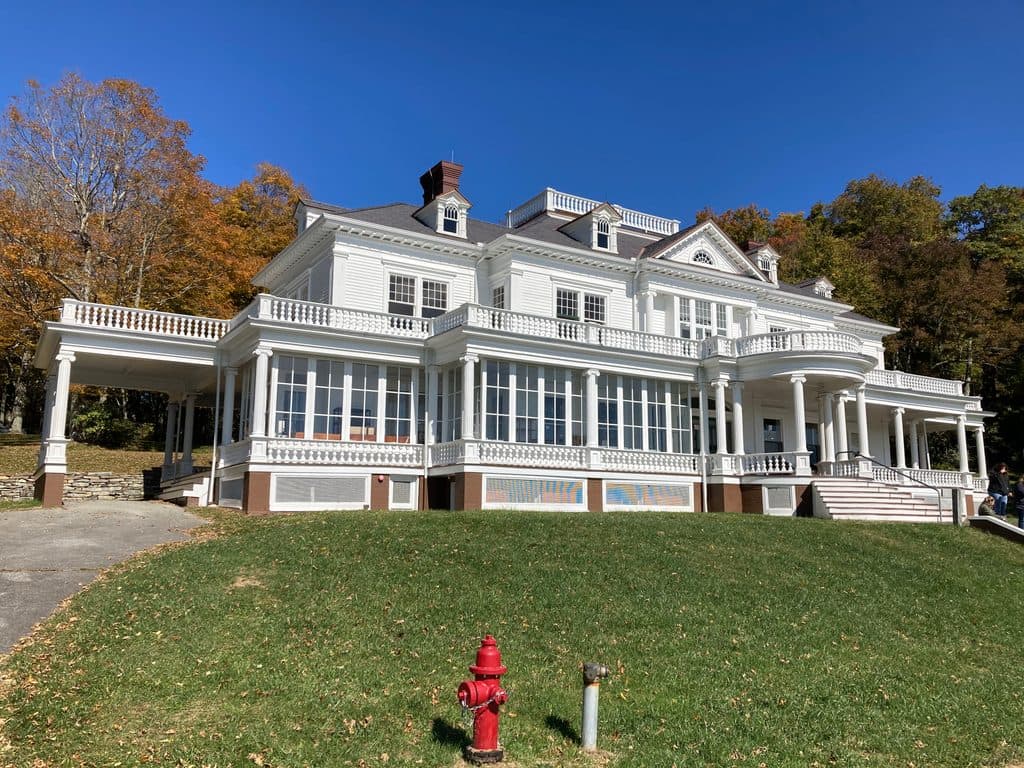
Moses H. Cone Memorial Park and Flat Top Manor
277 audio storiesacross Blue Ridge Parkway’s roads, triggered by GPS as you drive
Wildlife heatmapsfor Black Bear, Elk, White-tailed Deer, and 13 more
Works offlinemaps, 112 trails, 232 places, and audio download before you lose signal
CarPlay readysimple controls built for the drive
★★★★★
“…We knew we wanted to drive the Blue Ridge Parkway. The narration was impeccably timed. The facts and info provided were meaningful. Without it, the trip would not have been near as awesome.”
Ashl GApp Store review
★★★★★4.7 from 8,600+ ratings
Guide
More about Hebron Colony Falls
What You’ll SeeCascades weaving through a massive boulder field rather than a single vertical drop, roughly 25…
Cascades weaving through a massive boulder field rather than a single vertical drop, roughly 25 feet of tumbling water overall.
Natural pools and slickrock ledges that become a social, splashy hangout on hot days.
Classic Boone Fork scenery—meadows, creekside stretches, and rich plant life tied to ancient lake-bed soils.
Safety and EtiquetteRocks are often slick—especially after rain.
Rocks are often slick—especially after rain. Falls and rescues happen here; move carefully and keep a low center of gravity when scrambling.
Water levels can surge after storms; use extra caution around currents and wet slabs.
As of 2025, portions of the trail have closures due to hurricane damage. Check current conditions before you go.
WildlifeSongbirds frequent the meadows and woods along the trail.
Songbirds frequent the meadows and woods along the trail. Around the creek, you may spot amphibians and small mammals in the quieter stretches.