Parking
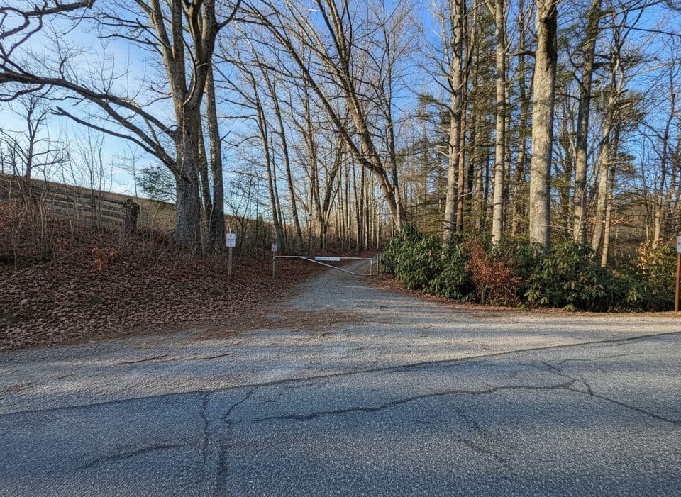
Use designated parking near the Julian Price Park/Price Park Picnic Area and walk to the gated Old Johns River Road entrance near Blue Ridge Parkway MP 296.9. Do not park on the Parkway shoulder.
Blue Ridge Parkway, NC · VA
A quiet 3.2-mile out-and-back on a gated road through Julian Price Memorial Park.
Overview
Yes, if you want a quiet, moderate-length walk through the Julian Price area or an access route to the Johns River Road backcountry sites. It is a better fit for a relaxed forest-and-road walk than for panoramic overlooks or a highly developed trail experience.
 Parkwolf’s verdictIs it worth it?
Map & elevation
Plan your hike

The highest, rockiest slopes around here are a summer buffet for grizzly bears.
Blue Ridge Parkway Tour Guide
Parkwolf is a GPS audio tour guide for Blue Ridge Parkway. As you drive, it chimes in with what’s ahead: hidden gems, upcoming stops, history, geology, and wildlife, right through your car’s speakers.
See the Blue Ridge Parkway audio tourRecorded for this trailhead
Julian Price's Creekside Picnic Spot“You're coming up on the Julian Price Park Picnic Area, one of the classic spots on the Parkway. What makes it special is that many of the picnic tables are set right along the shady banks of Boone Fork and Sims Creek.”
Plays as you drive up to this trailhead in the Parkwolf Blue Ridge Parkway Tour Guide.
More stories near here in the app
“…We knew we wanted to drive the Blue Ridge Parkway. The narration was impeccably timed. The facts and info provided were meaningful. Without it, the trip would not have been near as awesome.”


Trail guide
Old Johns River Road is a quiet gated-road out-and-back in Julian Price Memorial Park. From the gate at the Blue Ridge Parkway near Milepost 296.9, the route follows the old road north for about 1.6 miles (3.2 miles round trip) to the Johns River Road backcountry area. The route uses an unpaved road and natural tread through a mix of open and wooded terrain.
This is a low-traffic, gradually rolling walk rather than a heavily signed footpath. The stored line follows the physical corridor from the Parkway gate to the northern endpoint; return along the same route for the 3.2-mile outing. Carry a map or GPS because signage is limited, and expect wet or muddy footing after rain.
Julian Price Memorial Park protects a broad mountain landscape with hardwood forest, rhododendron, open meadows, and stream corridors. The changing mix of pasture and woods gives this route more variety than its modest grade suggests, and the quiet setting is well suited to birding and wildlife watching from a respectful distance.
Use designated parking near the Julian Price Park/Price Park Picnic Area and walk to the gated Old Johns River Road entrance; do not park on the Parkway shoulder. Day hikers should carry water and supplies because there are no trail amenities. The Johns River Road backcountry sites require a Recreation.gov permit for overnight use; camping is limited to designated sites. Pets must remain on a leash no longer than six feet.
Wildlife
 1,208 sightingsBlack BearMost seen around 7 AMSighting map
 1,020 sightingsElkMost seen around 7 AMSighting map
 2,257 sightingsWhite-tailed DeerMost seen around 6 PMSighting map
 200 sightingsCoyoteMost seen around 6 PMSighting map
 1,126 sightingsWild TurkeyMost seen around 7 AMSighting map
 255 sightingsRed-tailed HawkMost seen around 11 AMSighting map
Sighting maps show where each species has been reported across Blue Ridge Parkway. Wildlife moves, so no sighting is guaranteed.
Keep exploring
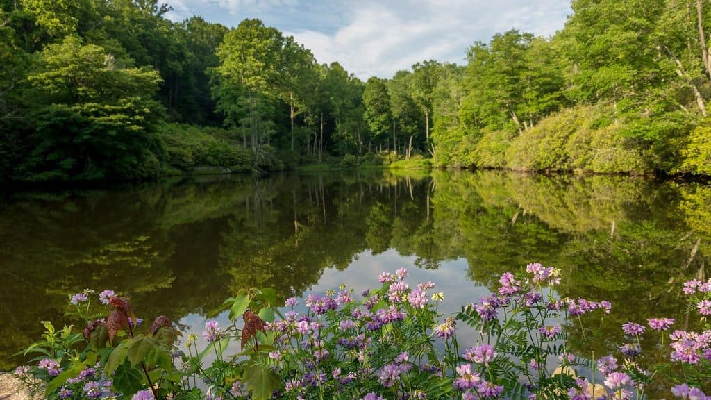 ModerateSims Pond Loop Trail2.3 mi · 1.5 hr · 0.1 mi awayModerately strenuous loop from Sims Pond over Green Knob with creeks, pasture, and Parkway views
 ModerateBoone Fork Trail5.5 mi · 3 hr · 0.4 mi awayA varied loop to Hebron Falls with creeks, ladders, and meadows
 EasyPrice Lake Trail2.7 mi · 1 hr · 0.6 mi awayEasy 2.7-mile lakeside loop around Price Lake
 ModerateGreen Knob Trail2.3 mi · 1.5 hr · 0.7 mi awayLush loop of creek, meadows, and rhododendron with playful rock hops
 EasyPrice Lake Loop Trail2.7 mi · 1 hr · 1 mi awayEasy 2.7-mile lakeside loop with mountain views, wildlife, and family-friendly stops
 ModerateRich Mountain Carriage Trail8.2 mi · 3.5 hr · 1.3 mi awayLong, gentle carriage-road climb from Trout Lake to Rich Mountain views
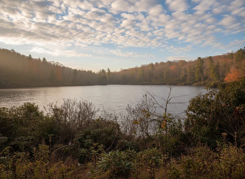 EasyTrout Lake Loop Trail1.3 mi · 30 min · 1.3 mi awayEasy lakeside loop through hemlocks with frequent wildlife sightings
 ModerateFlat Top Carriage Trail5.3 mi · 2.2 hr · 1.7 mi awayHistoric gravel carriage road from Flat Top Manor to a panoramic tower
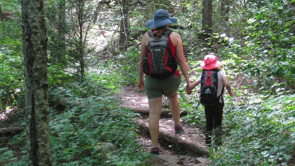 Picnic area · 0.4 mi awayJulian Price Park Picnic AreaShady creekside picnic grounds with trails and lake nearby
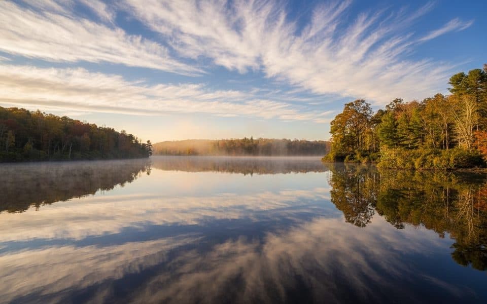 Scenic pullout · 0.6 mi awayPrice Lake OverlookMirrorlike lake views and an easy loop right from the pullout
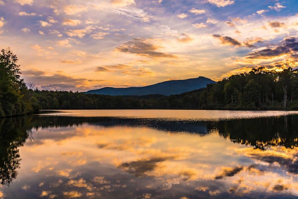 Sight · 0.8 mi awayPrice LakeSerene mountain lake with an easy loop and classic Grandfather views
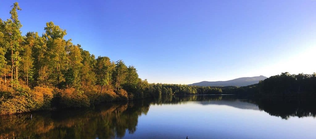 Campground · 0.8 mi awayJulian Price Memorial Park CampgroundThe Parkway’s big lakeside basecamp for hiking and paddling
 Sight · 1 mi awayPrice Lake Boat RentalsEasy paddle rentals on a tranquil lake with big mountain views
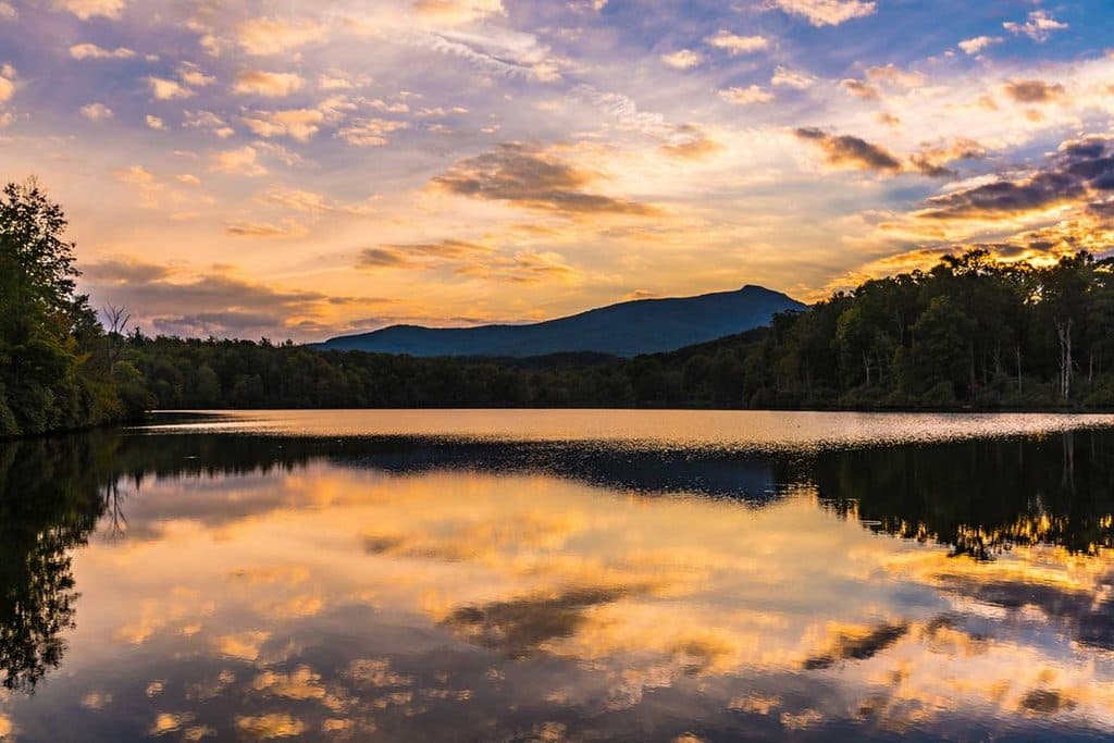 Sight · 1.1 mi awayJulian Price Memorial ParkLake, trails, and big picnic grounds right off the Parkway
 Sight · 1.3 mi awayHebron Colony FallsBoulder-choked cascades and summer swimming holes on Boone Fork
 Sight · 1.4 mi awayTrout LakeShady 1.3-mile loop around a quiet, wildlife-rich mountain lake
Parkwolf’s Blue Ridge Parkway ranking
The audio tour guide for the drive, plus offline maps, trails, and wildlife heatmaps for when the signal drops.





