Parking
Park at Julian Price Park Picnic Area on Blue Ridge Parkway MP 296.4; restrooms and picnic tables at the trailhead (restrooms may be closed in winter). Arrive early on busy weekends for a spot. seesugar.com, exploreboone.com

Blue Ridge Parkway, NC · VA
A varied loop to Hebron Falls with creeks, ladders, and meadows
Overview
If you like a little of everything—open meadows, rhododendron tunnels, boulder-studded streams, and a legit waterfall—this loop delivers. Boone Fork is a 5.5-mile loop through Julian Price Memorial Park on the Blue Ridge Parkway, with a highlight stop at Hebron Falls (aka Boone Fork Falls). It’s popular for good reason: the scenery changes often, it’s moderate to strenuous, with rougher sections near the creek. It’s hikeable year‑round. Expect company on weekends and fair weather days. seesugar.com, wakingupinboone.com, alltrails.com
 Parkwolf’s verdictWhy hike this
Map & elevation
Plan your hike

The highest, rockiest slopes around here are a summer buffet for grizzly bears.
Blue Ridge Parkway Tour Guide
Parkwolf is a GPS audio tour guide for Blue Ridge Parkway. As you drive, it chimes in with what’s ahead: hidden gems, upcoming stops, history, geology, and wildlife, right through your car’s speakers.
See the Blue Ridge Parkway audio tourRecorded for this area
Julian Price's Creekside Picnic Spot“You're coming up on the Julian Price Park Picnic Area, one of the classic spots on the Parkway. What makes it special is that many of the picnic tables are set right along the shady banks of Boone Fork and Sims Creek.”
Plays on the road 0.1 mi from the trailhead in the Parkwolf Blue Ridge Parkway Tour Guide.
More stories near here in the app
“…We knew we wanted to drive the Blue Ridge Parkway. The narration was impeccably timed. The facts and info provided were meaningful. Without it, the trip would not have been near as awesome.”


Trail guide
The Boone Fork Trail is a signed 5.5-mile loop starting at the wooden footbridge in the Price Park Picnic Area at Parkway Milepost 296.4. Allow at least 3 hours of daylight walking, with extra time for photos and creek play. Dogs are allowed on leash. No permits or fees for day hiking here, and basic facilities (picnic area, restrooms) are at the trailhead—note restrooms can be closed in winter. seesugar.com, nps.gov, alltrails.com, wakingupinboone.com, exploreboone.com
Within the first miles you’ll stroll meadow edges, duck into shady rhododendron, and start paralleling Boone Fork’s lively cascades. Hebron Falls, a boulder-choked cascade about a mile and a half from the picnic area, is the marquee stop—great for scrambling views and for cooling off at low water. The loop weaves over bridges and boardwalks, negotiates a short wooden ladder, and tackles several creek crossings and rocky/rooty sections—fun and varied, but you’ll want real footwear. If your goal is the falls first, take the trail to the right after the bridge by the trailhead sign. wakingupinboone.com, seesugar.com
Footing is natural throughout—packed dirt, rocks, roots, occasional mud after rain, plus ladders/bridges and shallow fords. It’s not stroller‑friendly or ADA‑accessible, and hikers with small kids should plan extra time and caution at water crossings. Trekking poles help on slick rock and creek hops. This is a beloved loop, so arrive early on weekends and leaf‑season days to secure parking at the picnic area and enjoy quieter miles. wakingupinboone.com, exploreboone.com, alltrails.com
Building a Parkway day? Pair Boone Fork with shorter local classics like Price Lake Loop or Green Knob, or extend your miles on the Tanawha Trail, which connects nearby. seesugar.com
Wildlife
 1,208 sightingsBlack BearMost seen around 7 AMSighting map
 1,020 sightingsElkMost seen around 7 AMSighting map
 2,257 sightingsWhite-tailed DeerMost seen around 6 PMSighting map
 200 sightingsCoyoteMost seen around 6 PMSighting map
 1,126 sightingsWild TurkeyMost seen around 7 AMSighting map
 255 sightingsRed-tailed HawkMost seen around 11 AMSighting map
Sighting maps show where each species has been reported across Blue Ridge Parkway. Wildlife moves, so no sighting is guaranteed.
Keep exploring
 EasyPrice Lake Trail2.7 mi · 1 hr · 0.3 mi awayEasy 2.7-mile lakeside loop around Price Lake
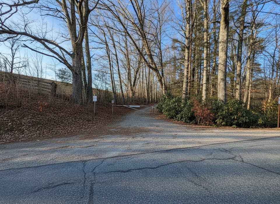 EasyOld Johns River Road3.2 mi · 1.5 hr · 0.4 mi awayA quiet 3.2-mile out-and-back on a gated road through Julian Price Memorial Park.
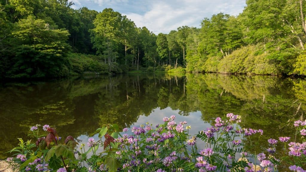 ModerateSims Pond Loop Trail2.3 mi · 1.5 hr · 0.5 mi awayModerately strenuous loop from Sims Pond over Green Knob with creeks, pasture, and Parkway views
 EasyPrice Lake Loop Trail2.7 mi · 1 hr · 0.6 mi awayEasy 2.7-mile lakeside loop with mountain views, wildlife, and family-friendly stops
 ModerateGreen Knob Trail2.3 mi · 1.5 hr · 1 mi awayLush loop of creek, meadows, and rhododendron with playful rock hops
 ModerateRich Mountain Carriage Trail8.2 mi · 3.5 hr · 1.6 mi awayLong, gentle carriage-road climb from Trout Lake to Rich Mountain views
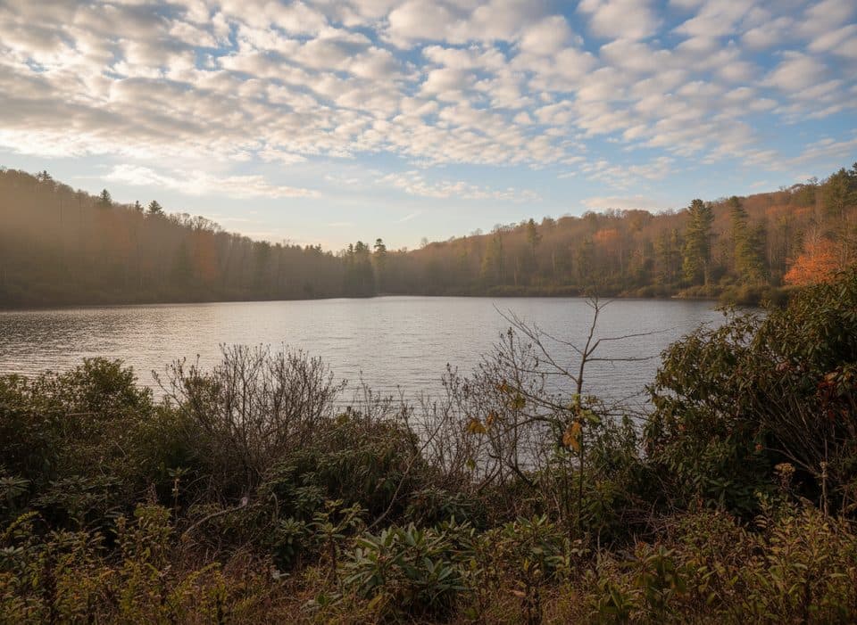 EasyTrout Lake Loop Trail1.3 mi · 30 min · 1.6 mi awayEasy lakeside loop through hemlocks with frequent wildlife sightings
 ModerateFlat Top Carriage Trail5.3 mi · 2.2 hr · 2.1 mi awayHistoric gravel carriage road from Flat Top Manor to a panoramic tower
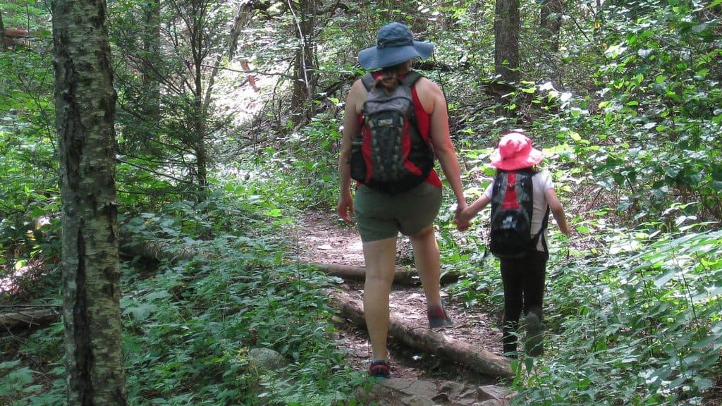 Picnic area · 0.1 mi awayJulian Price Park Picnic AreaShady creekside picnic grounds with trails and lake nearby
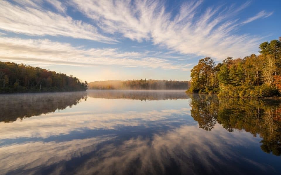 Scenic pullout · 0.3 mi awayPrice Lake OverlookMirrorlike lake views and an easy loop right from the pullout
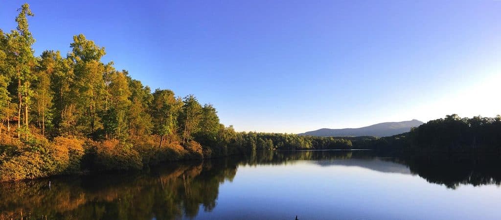 Campground · 0.5 mi awayJulian Price Memorial Park CampgroundThe Parkway’s big lakeside basecamp for hiking and paddling
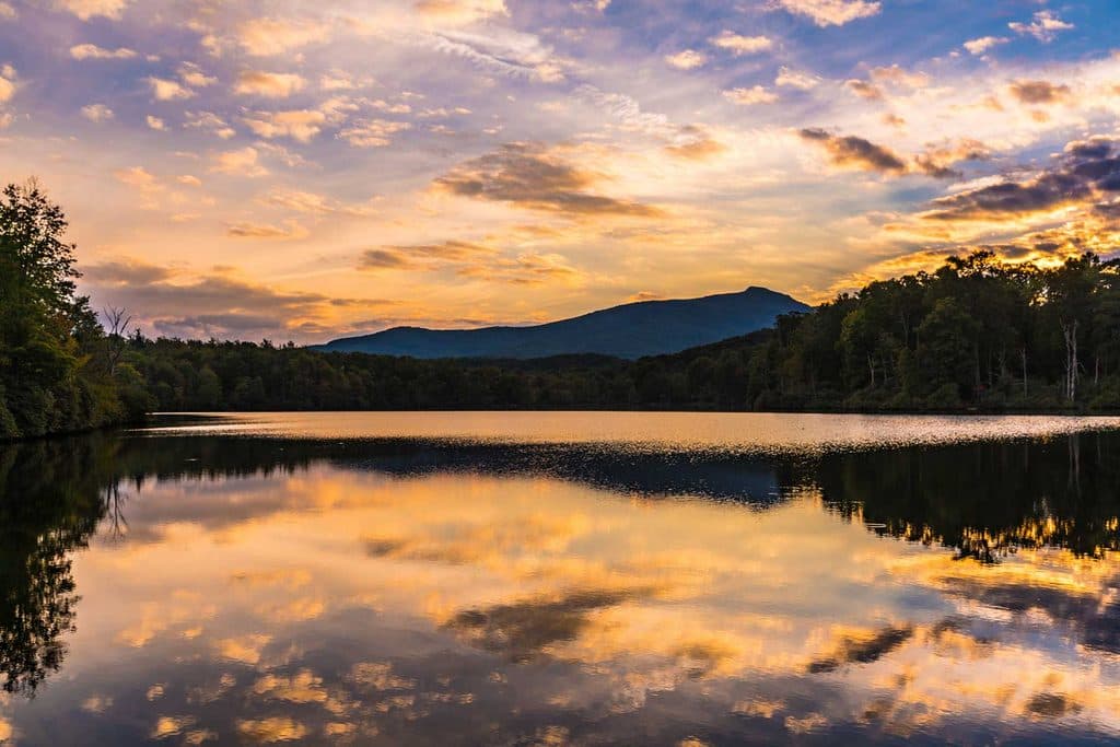 Sight · 0.5 mi awayPrice LakeSerene mountain lake with an easy loop and classic Grandfather views
 Sight · 0.6 mi awayPrice Lake Boat RentalsEasy paddle rentals on a tranquil lake with big mountain views
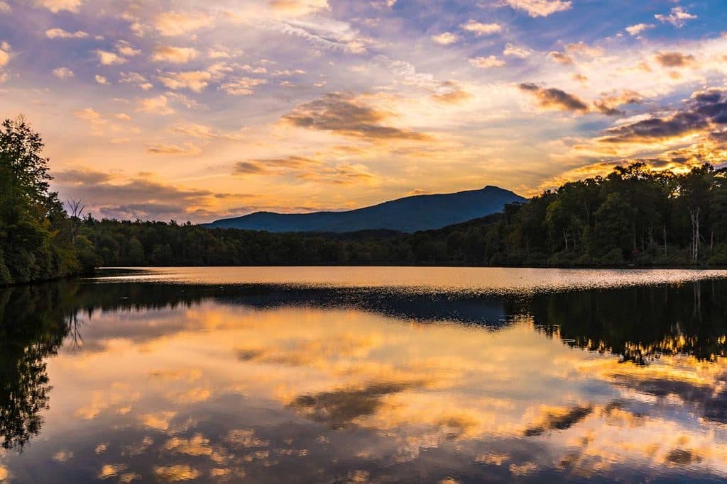 Sight · 0.8 mi awayJulian Price Memorial ParkLake, trails, and big picnic grounds right off the Parkway
 Sight · 1.5 mi awayHebron Colony FallsBoulder-choked cascades and summer swimming holes on Boone Fork
 Sight · 1.7 mi awayTrout LakeShady 1.3-mile loop around a quiet, wildlife-rich mountain lake
Parkwolf’s Blue Ridge Parkway ranking
The audio tour guide for the drive, plus offline maps, trails, and wildlife heatmaps for when the signal drops.





