Best time to visit
Any daylight hour works since you’re not chasing a particular view. Midweek is typically quieter; swing through when you need a break rather than planning a special stop.
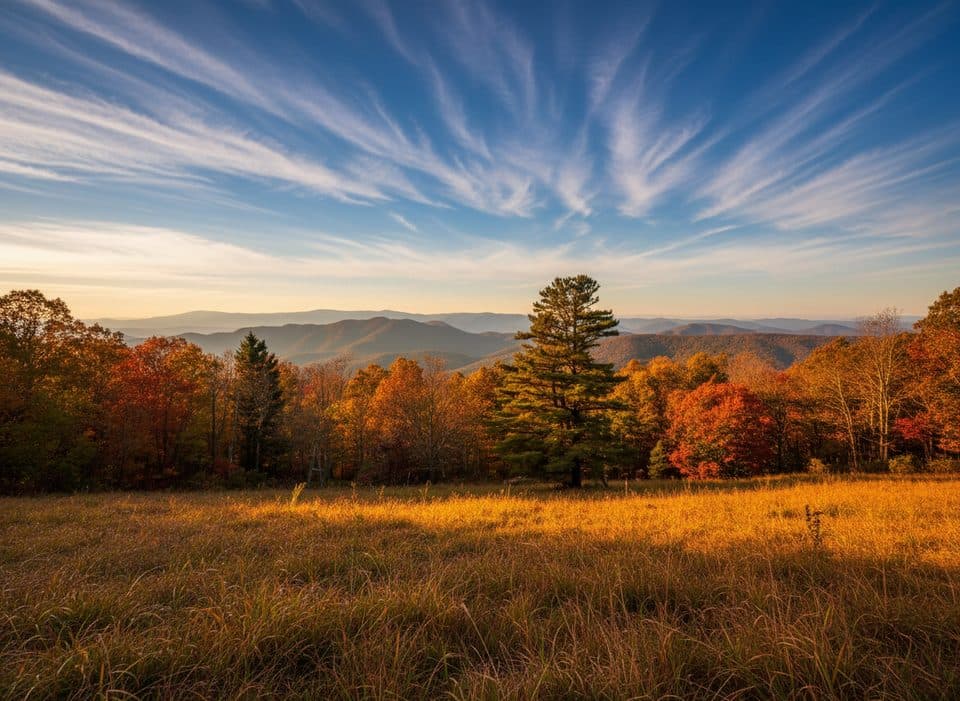
Scenic pullout · Blue Ridge Parkway
Named overlook with no view, handy as a quiet pull-off
Overview
Sitting around milepost 456.2 near Maggie Valley, Jonathan Creek Overlook is an “overlook” in name only. At roughly 4,460 feet, it’s a small paved pull-off along the Parkway that’s best used as a quick breather between more rewarding stops.
If nearby overlooks are packed or you just need a quiet minute to stretch, this is a convenient, low-key option. It’s not a destination for photos, but it is an easy reset on a busy driving day.
 Parkwolf’s verdictWhy Stop Here
Map
Local know-how
Don’t expect a vista—trees block the scenery here.
Use this as a quick breather and save photo time for nearby overlooks.
There are no facilities; bring what you need.
Plan your stop

The highest, rockiest slopes around here are a summer buffet for grizzly bears.
Blue Ridge Parkway Tour Guide
Parkwolf is a GPS audio tour guide for Blue Ridge Parkway. As you drive, it chimes in with what’s ahead: hidden gems, upcoming stops, history, geology, and wildlife, right through your car’s speakers.
See the Blue Ridge Parkway audio tourRecorded for this place
Jonathan Creek: An Overlook Without a View“You're coming up on Jonathan Creek Overlook, which is a bit of a Parkway curveball because there's actually no scenic view here. The pullout itself is named for an early pioneer, Jonathan MacPeters.”
Plays as you drive up to Jonathan Creek Overlook in the Parkwolf Blue Ridge Parkway Tour Guide.
More stories near here in the app
“…We knew we wanted to drive the Blue Ridge Parkway. The narration was impeccably timed. The facts and info provided were meaningful. Without it, the trip would not have been near as awesome.”


Guide
Trees. The surrounding forested slopes block long-range vistas, and you won’t see the namesake Jonathan Creek from the pull-off either. There are no trails, picnic tables, or interpretive signs—just a simple place to park and pause.
For actual views, aim for Plott Balsam Overlook or detour to Soco Falls—both offer much more of what most people come to the Parkway for.
You’re in typical high-elevation Blue Ridge forest, so you may catch songbirds or the occasional small mammal at the edges—best chances are early or late in the day.
The overlook and creek commemorate Jonathan MacPeters, an early pioneer in the area.
Wildlife
 1,208 sightingsBlack BearMost seen around 7 AMSighting map
 1,020 sightingsElkMost seen around 7 AMSighting map
 2,257 sightingsWhite-tailed DeerMost seen around 6 PMSighting map
 200 sightingsCoyoteMost seen around 6 PMSighting map
 1,126 sightingsWild TurkeyMost seen around 7 AMSighting map
 255 sightingsRed-tailed HawkMost seen around 11 AMSighting map
Sighting maps show where each species has been reported across Blue Ridge Parkway. Wildlife moves, so no sighting is guaranteed.
Keep exploring
 ModerateWaterrock Knob Trail1.2 mi · 1 hr · 3.2 mi awayShort, steep climb to 6,273 ft with sweeping Southern Highlands views
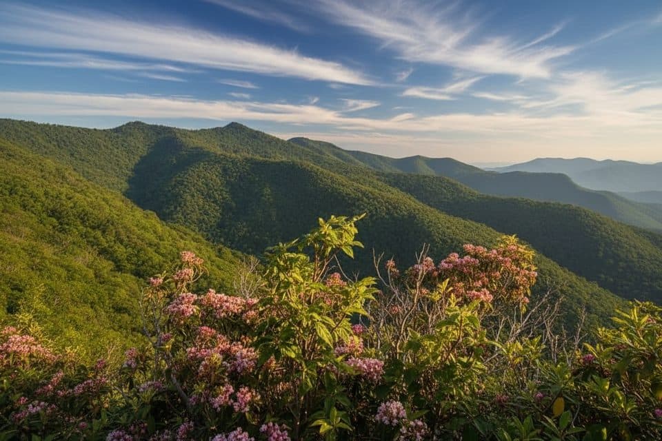 ModerateYellow Face Trail1.7 mi · 1.3 hr · 3.3 mi awayA rough, unofficial summit spur with a view before the top.
 ModerateHeintooga Flat Creek Trail5.2 mi · 3 hr · 3.5 mi awayA quiet creek walk through high-elevation Smokies forest
 Trailhead · 0.7 mi awaySoco Gap Overlook (MP 455.5)Quiet MST trailhead disguised as an overlook, lush rhododendrons
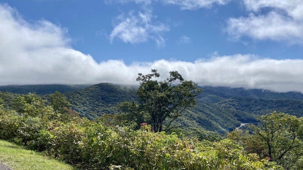 Scenic pullout · 1.1 mi awayPlott Balsam Overlook (MP 457.9)Quick pull-off with Plott Hound history, but views are mostly blocked
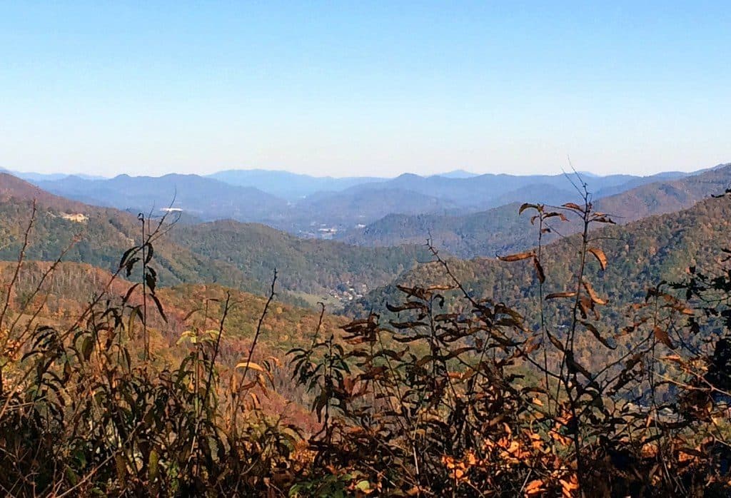 Scenic pullout · 1.3 mi awayLake Junaluska OverlookQuick pullout with valley views and occasional elk sightings
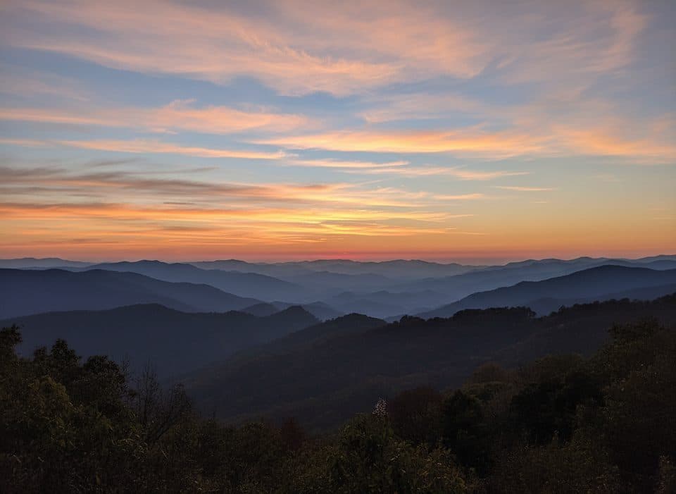 Scenic pullout · 1.3 mi awayThunderstruck Overlook (MP 454.4)Sweeping ridge-and-valley views from a quick, high-elevation pullout
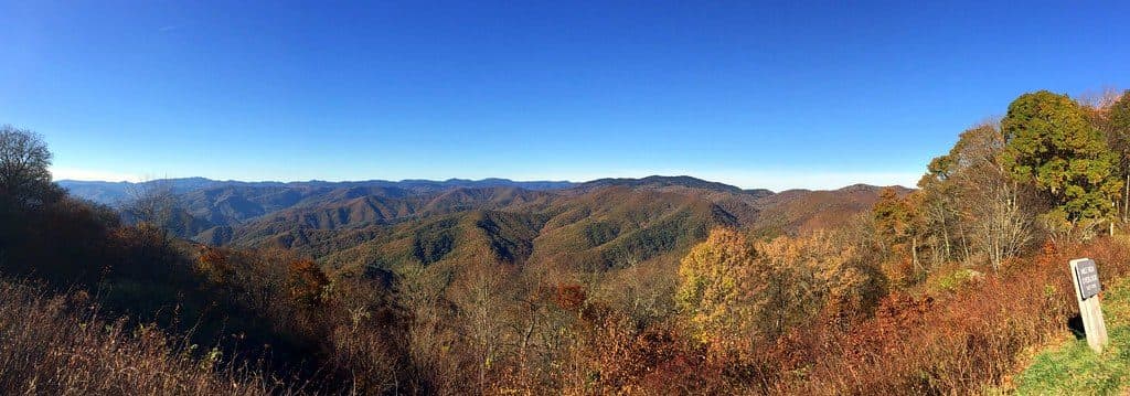 Scenic pullout · 1.7 mi awayMile High OverlookQuiet, mile-high pullout with sweeping Smokies and Balsam views
 Scenic pullout · 1.9 mi awayLickstone Overlook (MP 458.9)Quick pullout with big ridge views and dreamy sunsets
 Scenic pullout · 2.3 mi awayBunches Bald Overlook (MP 459.5)Drive-up sunset perch with layered Smokies ridgelines
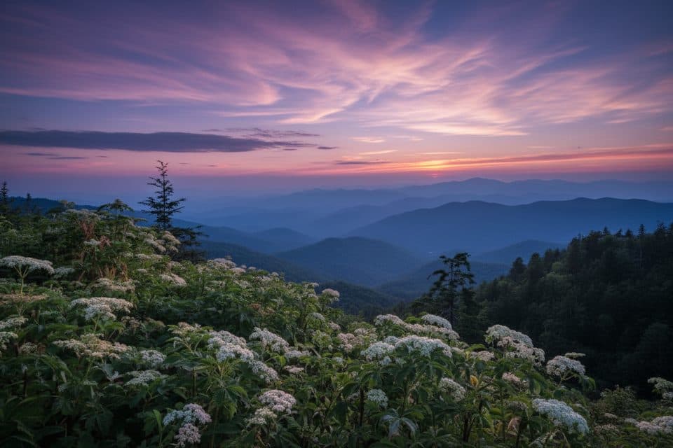 Scenic pullout · 2.6 mi awayWoolyback Overlook (MP 452.3)Layered valley panorama and a stellar sunset stop
Parkwolf’s Blue Ridge Parkway ranking
The audio tour guide for the drive, plus offline maps, trails, and wildlife heatmaps for when the signal drops.