Mile High Overlook in Blue Ridge Parkway

Scenic pullout · Blue Ridge Parkway

Mile High Overlook

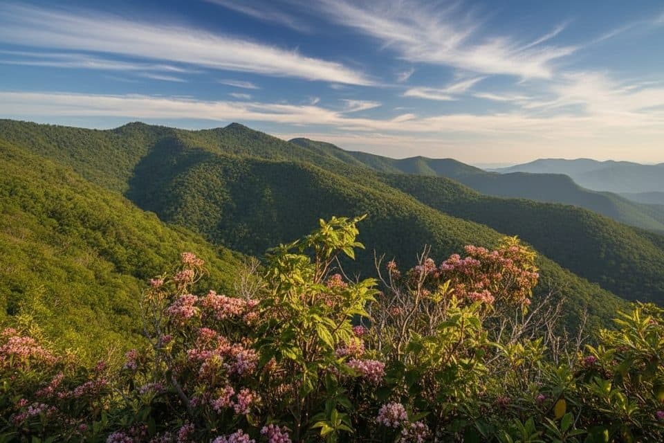
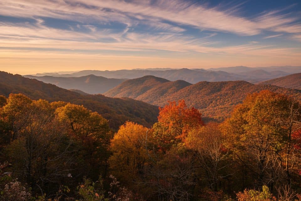
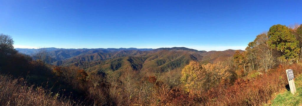
Quiet, mile-high pullout with sweeping Smokies and Balsam views

Photo: Flickr
Type
Scenic pullout
Nearest trail
2.5 mi
Audio stories
5 nearby
  • Pullout
  • Parking
  • Scenic viewpoint

Hear the audio tour

Plott Balsam Overlook and the State Dog

Overview

About Mile High Overlook

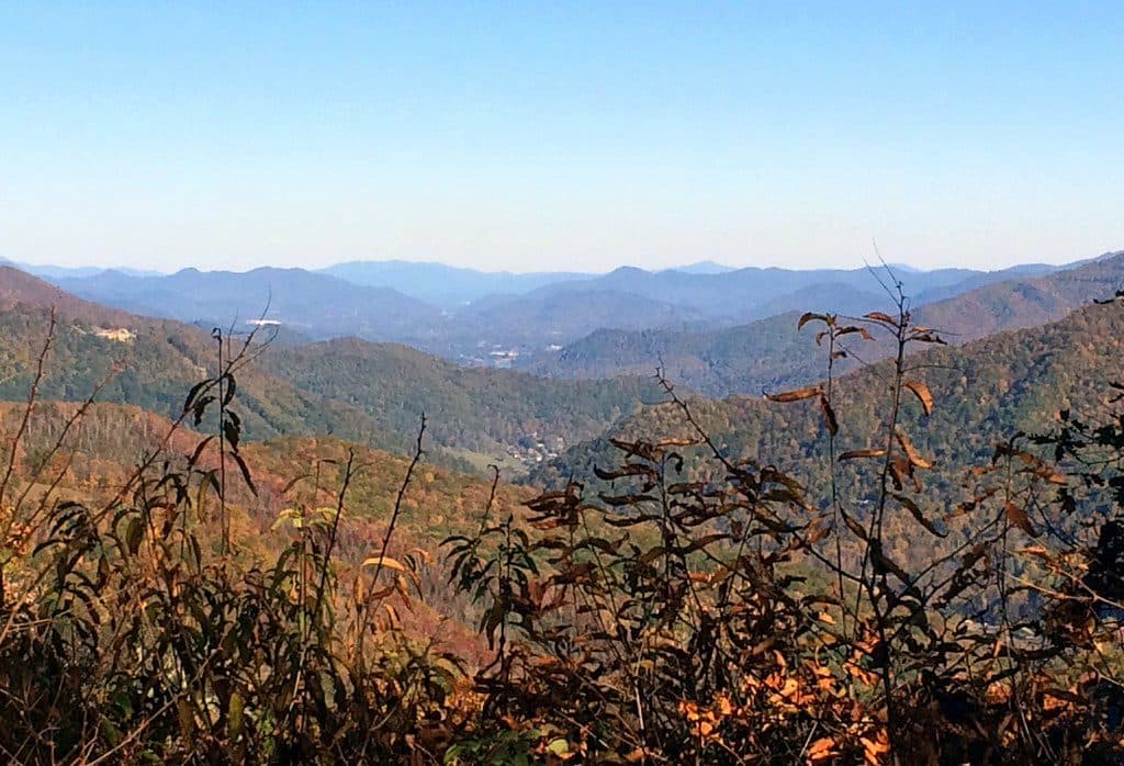
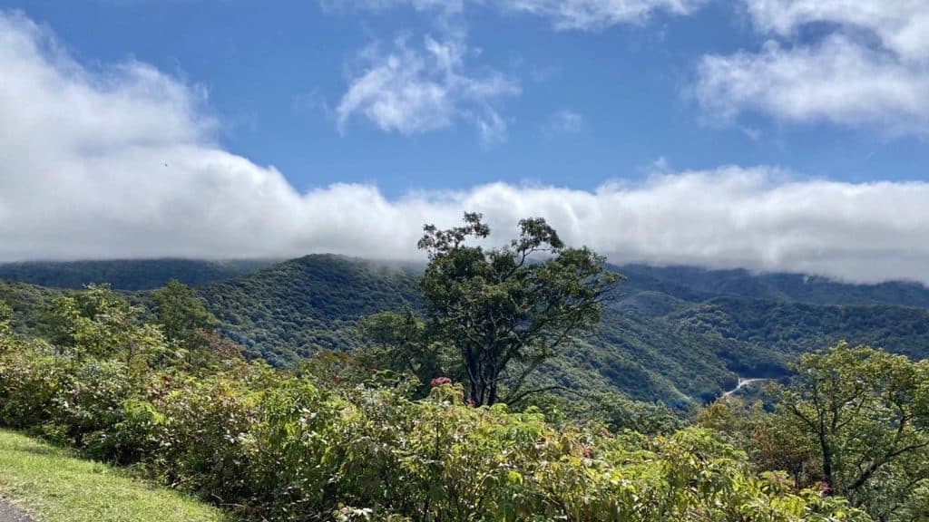
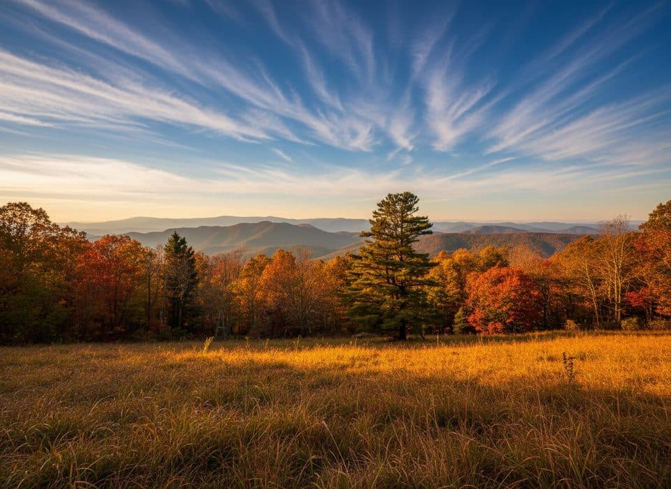
Just 1.3 miles off the Parkway at Milepost 458.2 on the Heintooga Spur Road, Mile High Overlook delivers exactly what the name promises: big, mile‑high mountain vistas without the crowds. It’s a simple, paved pullout with parking and a broad panorama that feels remote compared to busier roadside stops.

Why stop

  • Sweeping views of the Smokies and Balsam Mountains
  • Quieter than most main-parkway overlooks

Heads up

  • No restrooms or picnic tables
  • Vegetation can partially block views if maintenance lags
Yes—especially if you like quieter viewpoints with big horizons and minimal fuss. If you need facilities or a hike, look elsewhere. If you want a peaceful pullout with standout views, this is a solid add to your drive.
Parkwolf’s verdictIs It Worth the Stop?

Map

Where it is

Loading the Blue Ridge Parkway map
Full map
Scenic pulloutMile High Overlook35.51939, -83.17851
Keep this map with you offline in the Parkwolf app

Local know-how

Tips for visiting Mile High Overlook

  1. Access it via Heintooga Spur Road, 1.3 miles from MP 458.2.

  2. Come at dawn or late afternoon for the best light and fewest people.

  3. Pack layers—wind and cool temps are common at this elevation.

  4. For picnic tables, continue to Black Camp Gap or Heintooga Picnic Area.

  5. Bring binoculars for distant peaks and possible wildlife.

Plan your stop

Before you go

Best time to visit

  • Early morning: soft light, often the calmest conditions, and the fewest people.
  • Late afternoon to golden hour: dramatic shadows and color for photography.
  • Any time it’s breezy or cool: bring a layer—at a mile high it can feel windy even in summer.

Atmosphere & Amenities

This is a no‑frills stop: parking and a viewing area, and that’s about it. No restrooms, no picnic tables, and no trails start here. If you want to linger over lunch, continue up the road to Black Camp Gap or the Heintooga Picnic Area for proper tables.

2 active Blue Ridge Parkway alerts

  • ClosureNorth Carolina Helene-related closuresAvoid the closed Parkway section from MP 344.2–355.3; recreation of any kind is prohibited there.Official details
  • ClosureVirginia Parkway closures and detourFollow the signed detour around the closed James River Bridge and avoid the closed Roanoke Mountain Loop. - James River Bridge (MP 63.5–63.Official details
Blue Ridge Parkway alerts
A park ranger sits on a dash-mounted phone, talking, as Parkwolf’s Tour Guide plays “Army Cutworm Moths: A Grizzly Bear Buffet” on Grand Loop Road below Dunraven Pass in Yellowstone
Parkwolf Tour GuideThe highest, rockiest slopes around here are a summer buffet for grizzly bears.

Blue Ridge Parkway Tour Guide

Your drive to Mile High Overlook, narrated.

Parkwolf is a GPS audio tour guide for Blue Ridge Parkway. As you drive, it chimes in with what’s ahead: hidden gems, upcoming stops, history, geology, and wildlife, right through your car’s speakers.

See the Blue Ridge Parkway audio tour

Recorded for this area

Plott Balsam Overlook and the State Dog
Listen
“The overlook ahead is Plott Balsam. Full disclosure, the view here is almost entirely blocked by trees. The main reason to pull over is for the story on the interpretive sign.”

Plays on the road 0.8 mi from Mile High Overlook in the Parkwolf Blue Ridge Parkway Tour Guide.

More stories near here in the app

  • Lickstone Overlook and Its Salty Story
  • Bunches Bald Overlook: A Classic Smokies View
  • Jonathan Creek: An Overlook Without a View
  • Jenkins Ridge Overlook's Limited View
  • 277 audio storiesacross Blue Ridge Parkway’s roads, triggered by GPS as you drive
  • Wildlife heatmapsfor Black Bear, Elk, White-tailed Deer, and 13 more
  • Works offlinemaps, 112 trails, 232 places, and audio download before you lose signal
  • CarPlay readysimple controls built for the drive
★★★★★
“…We knew we wanted to drive the Blue Ridge Parkway. The narration was impeccably timed. The facts and info provided were meaningful. Without it, the trip would not have been near as awesome.”
Ashl GApp Store review
Download Parkwolf on the App StoreGet Parkwolf on Google Play

4.7 from 8,600+ ratings

Guide

More about Mile High Overlook

What You’ll SeeExpect layered ridgelines stretching in multiple directions.

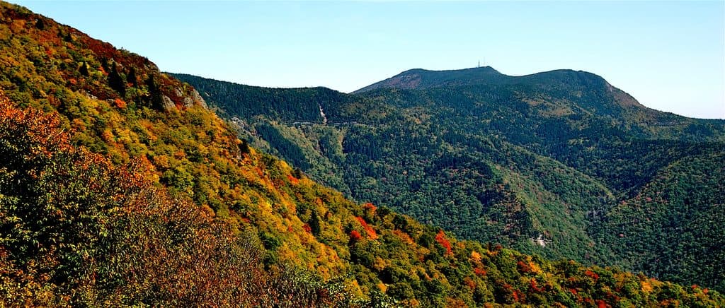
Expect layered ridgelines stretching in multiple directions. On clear days you’re looking toward marquee Smokies peaks like Clingmans Dome, Mount Le Conte, Mount Kephart, and Mount Guyot, with the Balsam Mountains rolling away the other way. Light and clouds can be dramatic here, especially mornings and late afternoons.

WildlifeYou’re on the edge of protected, lightly developed lands, so keep an eye out—white‑tailed deer,…

You’re on the edge of protected, lightly developed lands, so keep an eye out—white‑tailed deer, wild turkeys, songbirds, raptors, and even black bears roam this country. Dawn and dusk offer your best odds for sightings.

Quick History NoteHeintooga Spur Road carries a bit of regional history, including a nearby 1938 Masonic monument…

Heintooga Spur Road carries a bit of regional history, including a nearby 1938 Masonic monument built from stones sourced around the world. The overlook itself is part of the Parkway’s classic scenic infrastructure, acting as a gateway toward the more remote Balsam Mountain area and Great Smoky Mountains National Park.

Wildlife

Wildlife in Blue Ridge Parkway

All Blue Ridge Parkway wildlife maps

Sighting maps show where each species has been reported across Blue Ridge Parkway. Wildlife moves, so no sighting is guaranteed.

Parkwolf’s Blue Ridge Parkway ranking

Top sights in Blue Ridge Parkway

All 232 places
  1. 1Linn Cove ViaductSight
  2. 2Mount MitchellSight
  3. 3Mount Mitchell State ParkSight
  4. 4Craggy Pinnacle OverlookSight
  5. 5Linville FallsSight
  6. 6Peaks of OtterSight

Take Parkwolf to Blue Ridge Parkway.

The audio tour guide for the drive, plus offline maps, trails, and wildlife heatmaps for when the signal drops.

4.7 from 8,600+ ratings

Download Parkwolf on the App StoreGet Parkwolf on Google Play