
Place
Moderate
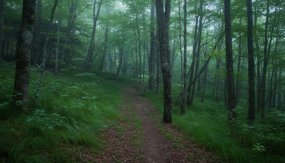
Looking for a mellow Smokies forest ramble without the crowds? This lightly traveled out-and-back follows Flat Creek and Bunches Creek through lush mixed hardwood and spruce–fir forest, with that quirky “grassy carpet” footbed in spots. It’s mostly about the sounds of water and wind in the trees—serene and underrated. Expect a moderate effort over 5.2 miles total (round trip), with roughly 660–1,100 feet of cumulative gain depending on direction and turnarounds.
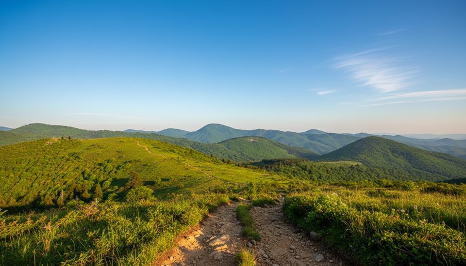
Most hikers start at the Heintooga Picnic Area and head downhill first, saving the climb for the return. Within a short stroll, step out to Heintooga Overlook for an early Smokies view before the trail ducks into the woods. About 0.8 miles in, a signed spur leads to the top of Flat Creek Falls—views from the brink are rewarding, but reaching the base is difficult and not recommended. Underfoot you’ll find natural surfaces—dirt, grass, roots, and occasional rocks—with a few shallow rock-hop creek crossings. Signage appears at key junctions, and the path is intuitive.
This is a peaceful, shaded hike: mossy banks, wispy grass brushing your legs, and the steady murmur of water. Overlook moments are limited once you’re in the trees, so come for the classic Smokies feel rather than continuous vistas. Solitude is a strong selling point—away from the picnic area, you may not see many people.
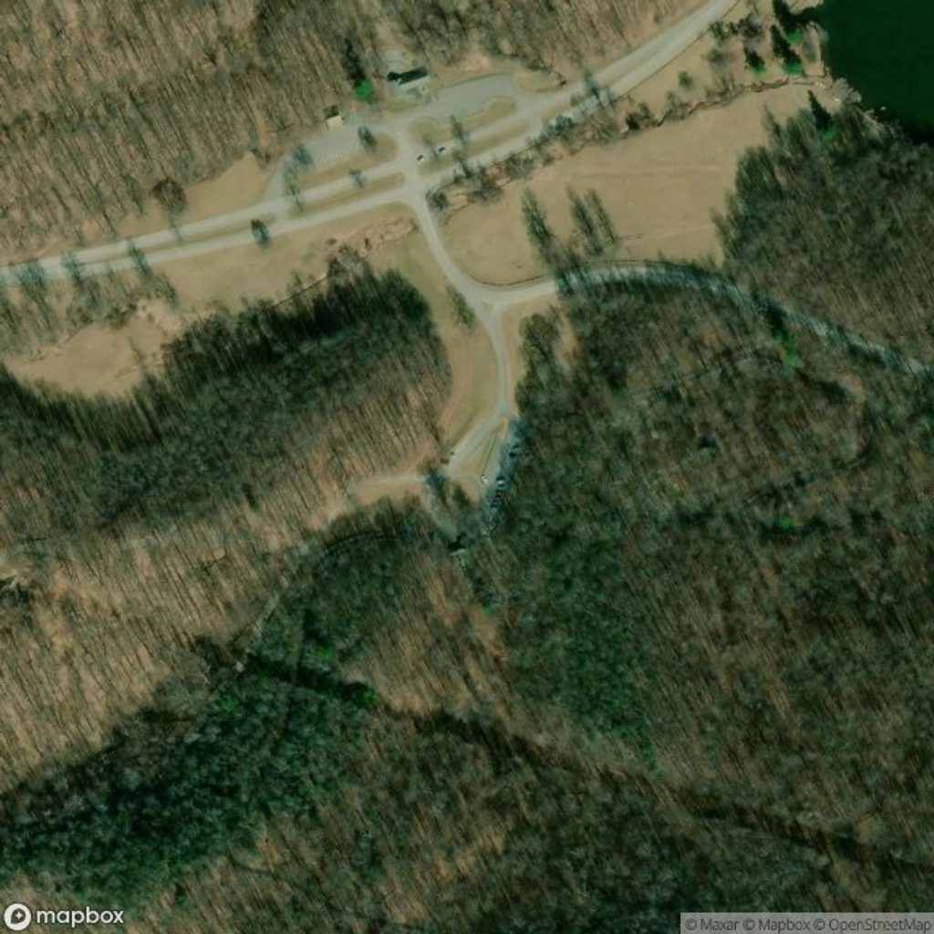
There are two trailheads, enabling a one-way shuttle if you’re hiking with friends. The upper (northern) start is at the Heintooga Picnic Area at the end of Heintooga Spur/Ridge Road, with a larger lot and restrooms. The lower (southern) start sits by the Blue Ridge Parkway entry gate with only a small pull-off. Starting from the picnic area is the easier direction (net downhill first).
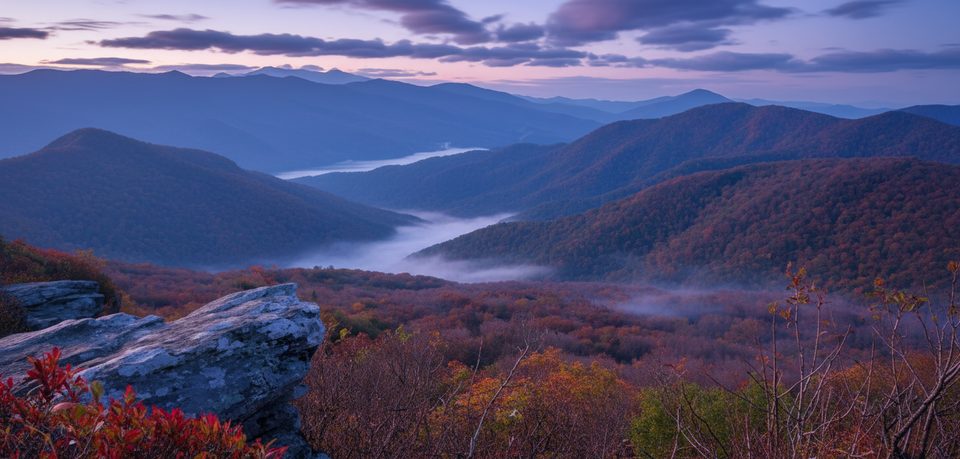
Open year-round and pretty in all seasons: spring wildflowers and fresh greens, lush summer shade, big fall color, and quiet, wintry woods (snow/ice possible—come prepared). For the most solitude, go early or late in the day. Photographers will find softer light under the canopy at golden hours; hit the overlook near the start for the best sky.
You’re walking through classic Southern Appalachian geology—ancient, weathered peaks cloaked in mixed hardwoods and high-elevation spruce–fir. Keep an eye out for elk in the Heintooga area and the occasional bear. Near the overlook sits a 1930s stone monument built of rocks from around the world, commemorating the park’s creation—worth a quick look before you head into the woods.
Best parking at Heintooga Picnic Area (end of Heintooga Spur/Ridge Road) with restrooms and numerous tables; limited pull-off parking by the Blue Ridge Parkway entry gate at the lower trailhead. A park parking tag is required for stays over 15 minutes.
Shallow but potentially slippery creek crossings; wet grassy sections can soak shoes and legs. Winter conditions possible. No dogs allowed.
Place
Place
Place
Place
Challenging
Moderate
Challenging
Moderate

Parkwolf Tour Guide
