Parking
Park at the Cascades Overlook at Milepost 271.9 in E.B. Jeffress Park. The paved trail starts beside the seasonal restrooms at the north end of the parking area; picnic tables are available.

Blue Ridge Parkway, NC · VA
Moderate interpretive loop to two overlooks above Cascade Falls
Overview
The Cascades Trail is an approximately 0.85-mile loop from the Cascades Overlook in E.B. Jeffress Park to two overlooks above Cascade Falls. It is a moderate, self-guiding walk with interpretive plaques, shaded forest, and a strong waterfall payoff.
 Parkwolf’s verdictWhy hike it
Map & elevation
Plan your hike

The highest, rockiest slopes around here are a summer buffet for grizzly bears.
Blue Ridge Parkway Tour Guide
Parkwolf is a GPS audio tour guide for Blue Ridge Parkway. As you drive, it chimes in with what’s ahead: hidden gems, upcoming stops, history, geology, and wildlife, right through your car’s speakers.
See the Blue Ridge Parkway audio tourRecorded for this trailhead
E.B. Jeffress Park and The Cascades Trail“You're nearing E.B. Jeffress Park, a spot that's really two-in-one: a shady picnic area and an easy trail. The main reason to stop is the Cascades Trail, a short loop that leads down to a long, sliding waterfall.”
Plays as you drive up to this trailhead in the Parkwolf Blue Ridge Parkway Tour Guide.
More stories near here in the app
“…We knew we wanted to drive the Blue Ridge Parkway. The narration was impeccably timed. The facts and info provided were meaningful. Without it, the trip would not have been near as awesome.”


Trail guide
Start on the paved trail beside the seasonal restrooms at the north end of the Cascades Overlook parking area. The path becomes gravel and dirt, crosses Falls Creek, and follows the loop around the cascade. At the junction, take the steeper steps to the two overlooks, then return along the scenic stream-side section before climbing back to the trail and parking area. Benches and picnic tables make the park comfortable for a short, unhurried outing.
Cascade Falls drops and slides over the Blue Ridge escarpment on Falls Creek. Interpretive plaques describe local trees and shrubs, including dogwood, tulip tree, mountain laurel, azalea, blueberry, and oak. Leaf-off seasons open broader valley views through the forest.
Most hikers can complete the loop in about 45 minutes, but allow extra time for the plaques and both overlooks. The distance is short, but the stairs, descent, and steep edges make it moderate rather than a flat stroll.
Wildlife
 1,208 sightingsBlack BearMost seen around 7 AMSighting map
 1,020 sightingsElkMost seen around 7 AMSighting map
 2,257 sightingsWhite-tailed DeerMost seen around 6 PMSighting map
 200 sightingsCoyoteMost seen around 6 PMSighting map
 1,126 sightingsWild TurkeyMost seen around 7 AMSighting map
 255 sightingsRed-tailed HawkMost seen around 11 AMSighting map
Sighting maps show where each species has been reported across Blue Ridge Parkway. Wildlife moves, so no sighting is guaranteed.
Keep exploring
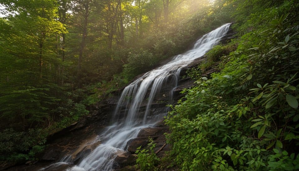 EasyCascades Trail (E.B. Jeffress)1 mi · 45 min · 0.1 mi awayOne-mile waterfall loop with two Cascade Falls overlooks and interpretive plaques
 EasyTompkins Knob Trail1.2 mi · 30 min · 0.5 mi awayAn easy cabin walk from a Blue Ridge Parkway overlook
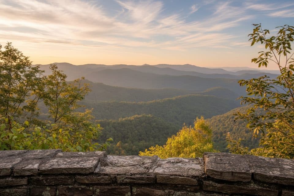 EasyJumpinoff Rock Trail1 mi · 30 min · 7.4 mi awayShort, easy woods walk to a quiet, panoramic Blue Ridge overlook.
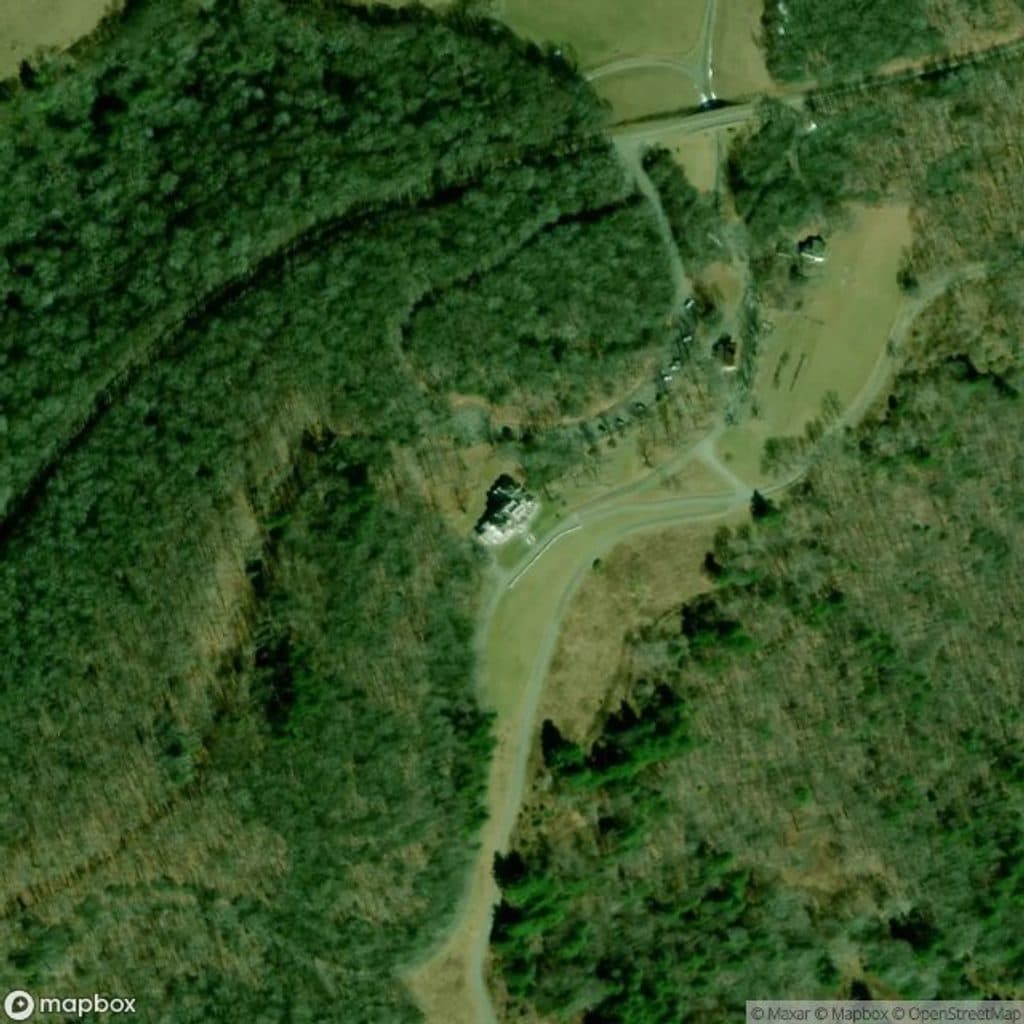 EasyThe Maze2.1 mi · 1.2 hr · 14.4 mi awayWinding gravel carriage-road segment through the historic Maze near Bass Lake
 EasyBass Lake Loop1 mi · 30 min · 14.7 mi awayEasy lakeside loop with gravel footing, bridges, and Cone Manor views
 ModerateFlat Top Carriage Trail5.3 mi · 2.2 hr · 14.7 mi awayHistoric gravel carriage road from Flat Top Manor to a panoramic tower
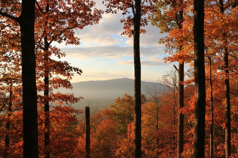 ModerateDeer Park Trail (Cone)4.4 mi · 2 hr · 14.7 mi awayA mellow estate loop linking Deer Park and Duncan carriage roads
 Picnic area · 0.1 mi awayCascades Picnic AreaShady picnic lawn with a short walk to Cascades Falls
 Sight · 0.3 mi awayThe CascadesShort loop to a dramatic multi-tier waterfall and stone overlooks
 Sight · 0.4 mi awayJesse Brown CabinQuiet log cabin time capsule off Tompkins Knob Overlook
 Scenic pullout · 1.5 mi awayLewis Fork OverlookQuiet pullout with partial mountaintop views
 Scenic pullout · 1.8 mi awayElk Mountain OverlookBig, unobstructed views over the Yadkin Valley from a quick pull-off
 Scenic pullout · 3.1 mi awayStoney Fork OverlookQuiet pull-off with a modest, partially obscured valley view
 Scenic pullout · 3.4 mi awayOsborne Mountain OverlookQuiet overlook with layered ridges and a better view across the road
 Scenic pullout · 3.7 mi awayCarroll Gap OverlookQuiet pastoral overlook with a partly overgrown view
Parkwolf’s Blue Ridge Parkway ranking
The audio tour guide for the drive, plus offline maps, trails, and wildlife heatmaps for when the signal drops.





