The Maze in Blue Ridge Parkway

Blue Ridge Parkway, NC · VA

The Maze

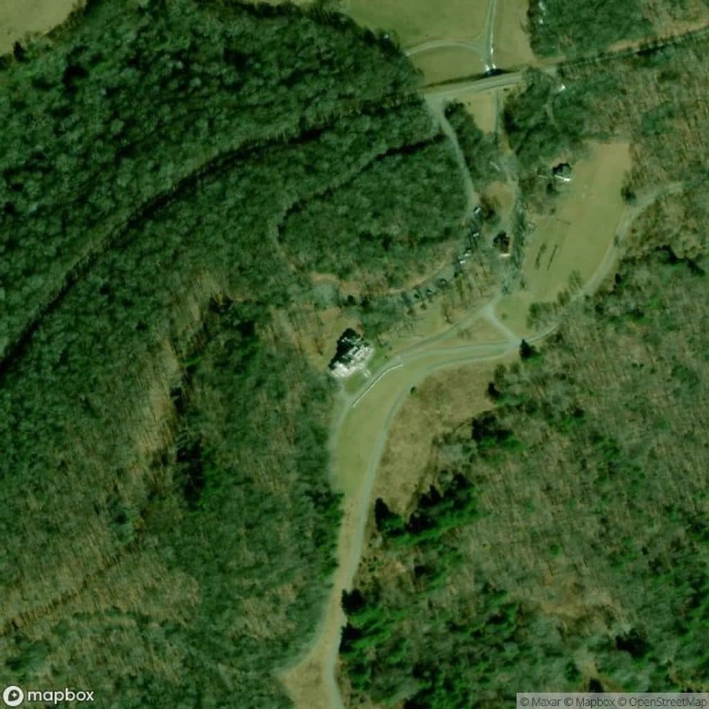
Winding gravel carriage-road segment through the historic Maze near Bass Lake

Photo: Mapbox
Length
2.1mi
Time
1.2hr
Elev. change
210ft
Difficulty
Easy
  • Dogs allowed
  • High point 3,796 ft
  • #49 of 112 in Blue Ridge Parkway

Hear the audio tour

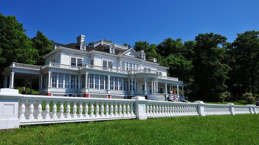
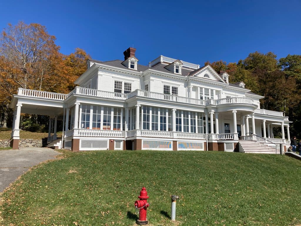
Moses H. Cone Memorial Park and Flat Top Manor

Overview

About The Maze

Why go

  • Winding historic carriage road with gentle grades and a distinctive series of turns
  • Connects the Bass Lake area with Black Bottom Road and the Apple Barn carriage-road network

Heads up

  • Point-to-point route requires an out-and-back or transportation plan
  • Horse traffic and wet-weather mud can slow travel on the shared gravel road
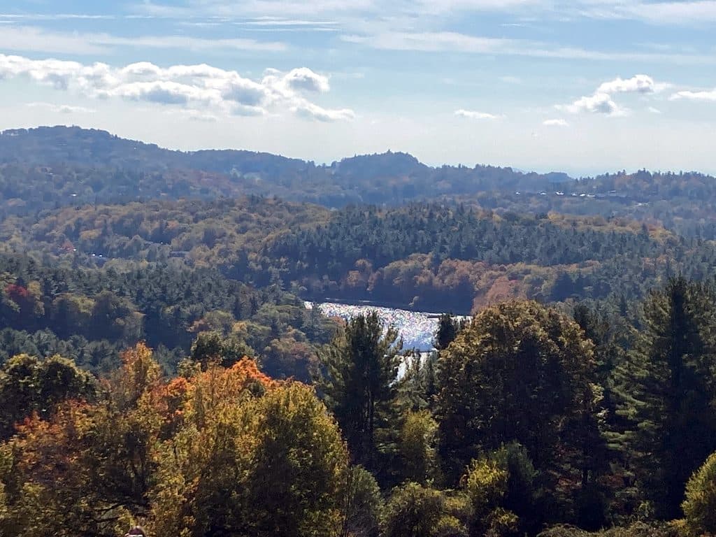
The Maze is a winding, multi-use carriage-road segment in Moses H. Cone Memorial Park. Its wide gravel tread curls through a series of tight turns and stacked loops, making the route feel more intricate than its gentle grades suggest.
Parkwolf’s verdictWhy go

Map & elevation

The route

Loading the Blue Ridge Parkway map
Full map
Elevation3,586–3,796 ft
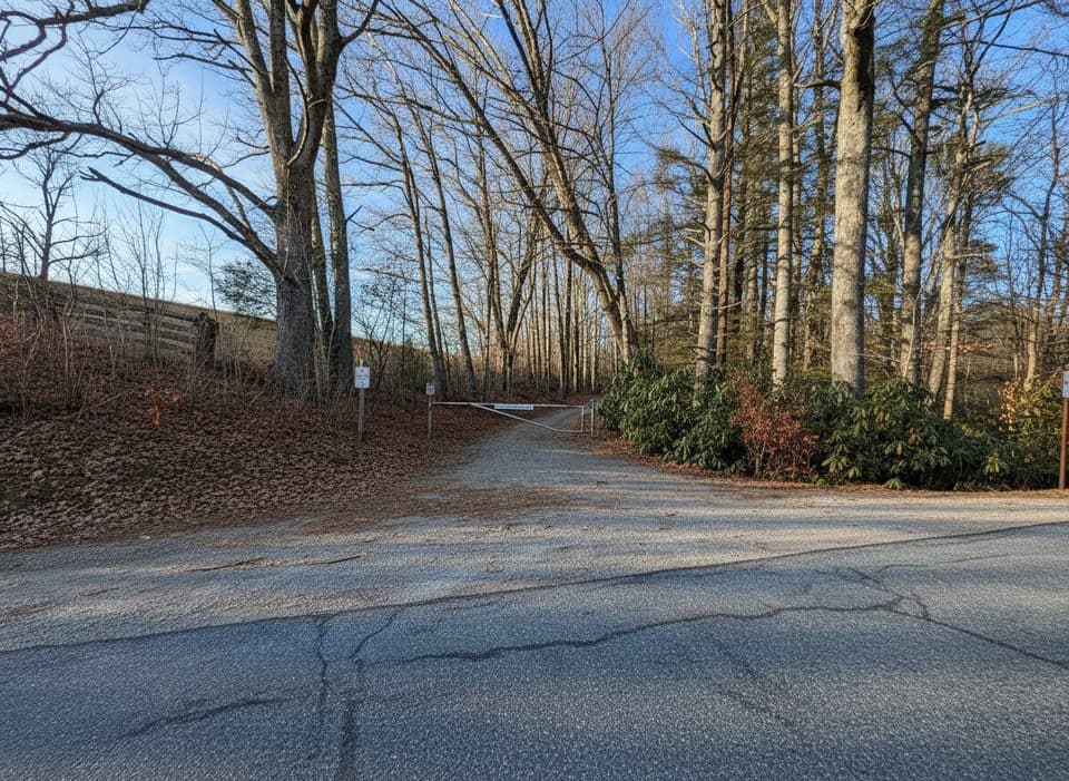
TrailheadBass Lake Road / The Maze junction36.14133, -81.68218
Keep this map with you offline in the Parkwolf app

Plan your hike

Before you go

Parking

Use the Bass Lake parking area off US 221 for the closest conventional access. The named line begins at the Bass Lake Road / The Maze junction and ends at Black Bottom Road near the Apple Barn; plan an out-and-back or arrange transportation from the far end.

Safety

Share the carriage road with horses and other users, yield with plenty of room, and plan return transportation because this named route is point-to-point. Gravel can be muddy or slick after rain.

2 active Blue Ridge Parkway alerts

  • ClosureNorth Carolina Helene-related closuresAvoid the closed Parkway section from MP 344.2–355.3; recreation of any kind is prohibited there.Official details
  • ClosureVirginia Parkway closures and detourFollow the signed detour around the closed James River Bridge and avoid the closed Roanoke Mountain Loop. - James River Bridge (MP 63.5–63.Official details
Blue Ridge Parkway alerts
A park ranger sits on a dash-mounted phone, talking, as Parkwolf’s Tour Guide plays “Army Cutworm Moths: A Grizzly Bear Buffet” on Grand Loop Road below Dunraven Pass in Yellowstone
Parkwolf Tour GuideThe highest, rockiest slopes around here are a summer buffet for grizzly bears.

Blue Ridge Parkway Tour Guide

Your drive to The Maze, narrated.

Parkwolf is a GPS audio tour guide for Blue Ridge Parkway. As you drive, it chimes in with what’s ahead: hidden gems, upcoming stops, history, geology, and wildlife, right through your car’s speakers.

See the Blue Ridge Parkway audio tour

Recorded for this trailhead

Moses H. Cone Memorial Park and Flat Top Manor
Listen
“You're approaching Moses H. Cone Memorial Park, one of the grandest estates along the Parkway.”

Plays as you drive up to this trailhead in the Parkwolf Blue Ridge Parkway Tour Guide.

More stories near here in the app

  • Cone’s Enduring Carriage Roads
  • Trout Lake: A Quieter Lakeside Loop
  • Sims Creek Overlook: A Classic Creekside Loop
  • Sims Pond Trail: A Compact Loop with Lots of Variety
  • 277 audio storiesacross Blue Ridge Parkway’s roads, triggered by GPS as you drive
  • Wildlife heatmapsfor Black Bear, Elk, White-tailed Deer, and 13 more
  • Works offlinemaps, 112 trails, 232 places, and audio download before you lose signal
  • CarPlay readysimple controls built for the drive
★★★★★
“…We knew we wanted to drive the Blue Ridge Parkway. The narration was impeccably timed. The facts and info provided were meaningful. Without it, the trip would not have been near as awesome.”
Ashl GApp Store review
Download Parkwolf on the App StoreGet Parkwolf on Google Play

4.7 from 8,600+ ratings

Trail guide

Hiking The Maze

Route and distanceThis named line is a point-to-point walk of about 2.1 miles one way.

This named line is a point-to-point walk of about 2.1 miles one way. It starts at the Bass Lake Road / The Maze junction near Bass Lake and finishes at Black Bottom Road near the Apple Barn and orchard. The stored route follows the physical corridor once; an out-and-back would require walking the line again, or arrange transportation from the far end.

Trail feel and sceneryExpect a broad, generally smooth gravel carriage road through forest, with repeated bends,…

Expect a broad, generally smooth gravel carriage road through forest, with repeated bends, modest rolling elevation, and occasional openings around the estate’s orchard and lake-area network. The route is easy to follow on the mapped carriage roads, but junctions can be confusing because several historic roads overlap and connect.

What to expectMulti-use: horseback riders, hikers, runners, and other carriage-road users may share the route.
  • Multi-use: horseback riders, hikers, runners, and other carriage-road users may share the route.
  • Surface: gravel and unpaved carriage road; conditions can be muddy or slick after rain.
  • Access: the closest conventional access is from the Bass Lake area off US 221; the named line itself is point-to-point rather than a loop.
  • Connections: the finish at Black Bottom Road and the Apple Barn area connects with the wider Moses Cone carriage-road network.
TipsYield to horses and give them plenty of room.

Yield to horses and give them plenty of room. Keep pets leashed, confirm your return plan before starting, and stay on the designated carriage roads to protect the historic estate landscape.

Wildlife

Wildlife in Blue Ridge Parkway

All Blue Ridge Parkway wildlife maps

Sighting maps show where each species has been reported across Blue Ridge Parkway. Wildlife moves, so no sighting is guaranteed.

Keep exploring

Near The Maze

See it all on the map

Trails that start nearby

Places near the trailhead

Parkwolf’s Blue Ridge Parkway ranking

Top-rated trails in Blue Ridge Parkway

All 112 trails
  1. 1Art Loeb TrailChallenging · 30.1 mi
  2. 2Rough Ridge TrailModerate · 1.2 mi
  3. 3Sharp Top TrailChallenging · 3 mi
  4. 4Tennent Mountain LoopModerate · 5 mi
  5. 5Daniel Boone Scout TrailChallenging · 7.2 mi
  6. 6Deep Gap Trail (Mount Mitchell)Challenging · 7.2 mi

Take Parkwolf to Blue Ridge Parkway.

The audio tour guide for the drive, plus offline maps, trails, and wildlife heatmaps for when the signal drops.

4.7 from 8,600+ ratings

Download Parkwolf on the App StoreGet Parkwolf on Google Play