Parking
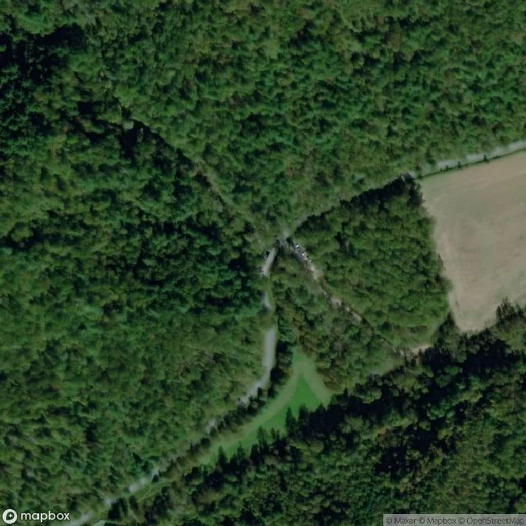
Jumpinoff Rock Parking Area directly off the Blue Ridge Parkway at milepost 260.3; typically ample except on peak fall weekends.
Blue Ridge Parkway, NC · VA
Short, easy woods walk to a quiet, panoramic Blue Ridge overlook.
Overview
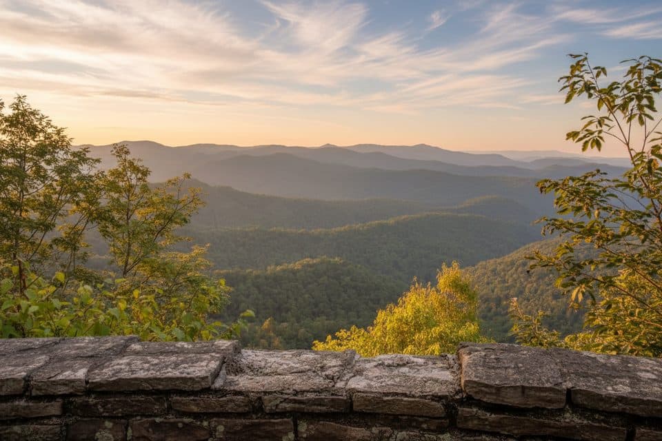
Jumpinoff Rock is the definition of high reward for low effort: a short forest stroll that pops you out on a stone viewing platform with a broad, unobstructed panorama of the Blue Ridge. It’s a peaceful leg-stretcher and generally less crowded than many nearby overlooks, making it a great add-on during a Parkway day.
 Parkwolf’s verdictWhy hike it
Map & elevation
Plan your hike

The highest, rockiest slopes around here are a summer buffet for grizzly bears.
Blue Ridge Parkway Tour Guide
Parkwolf is a GPS audio tour guide for Blue Ridge Parkway. As you drive, it chimes in with what’s ahead: hidden gems, upcoming stops, history, geology, and wildlife, right through your car’s speakers.
See the Blue Ridge Parkway audio tourRecorded for this trailhead
Jumpinoff Rock: An Easy Walk to a Big View“The pullout for Jumpinoff Rock is coming up. This stop is a classic example of a low-effort, high-reward spot that's easy to miss.”
Plays as you drive up to this trailhead in the Parkwolf Blue Ridge Parkway Tour Guide.
More stories near here in the app
“…We knew we wanted to drive the Blue Ridge Parkway. The narration was impeccably timed. The facts and info provided were meaningful. Without it, the trip would not have been near as awesome.”


Trail guide
This is an easy out-and-back, about 1.0 mile total (round trip). The grade is gentle with a mostly smooth natural surface—packed dirt with some roots and rocks near the end. Expect roughly 30 minutes for most groups.
From the parking area at milepost 260.3, the path tracks alongside the Mountains-to-Sea Trail (MST, marked with white blazes). When the MST turns right, continue straight to reach Jumpinoff Rock. The trail ends at a stone overlook with a sweeping view.
Most of the walk is shaded through quiet woods before the trail opens to the overlook’s broad, 180-degree vista of rolling, forested ridgelines—classic Blue Ridge geology of ancient metamorphic and granitic terrain. Birdwatchers will appreciate the woodland setting, and there are picnic tables at both the parking area and the overlook if you want to linger.
Footing is generally forgiving; sneakers are fine. After rain, expect a few muddy patches and some roots near the end. There are no restrooms at the overlook. Dogs are allowed on leash. Parking is right off the Parkway at MP 260.3 and is usually ample, though peak fall weekends can be busier.
Wildlife
 1,208 sightingsBlack BearMost seen around 7 AMSighting map
 1,020 sightingsElkMost seen around 7 AMSighting map
 2,257 sightingsWhite-tailed DeerMost seen around 6 PMSighting map
 200 sightingsCoyoteMost seen around 6 PMSighting map
 1,126 sightingsWild TurkeyMost seen around 7 AMSighting map
 255 sightingsRed-tailed HawkMost seen around 11 AMSighting map
Sighting maps show where each species has been reported across Blue Ridge Parkway. Wildlife moves, so no sighting is guaranteed.
Keep exploring
 EasyCascades Trail0.9 mi · 45 min · 7.4 mi awayModerate interpretive loop to two overlooks above Cascade Falls
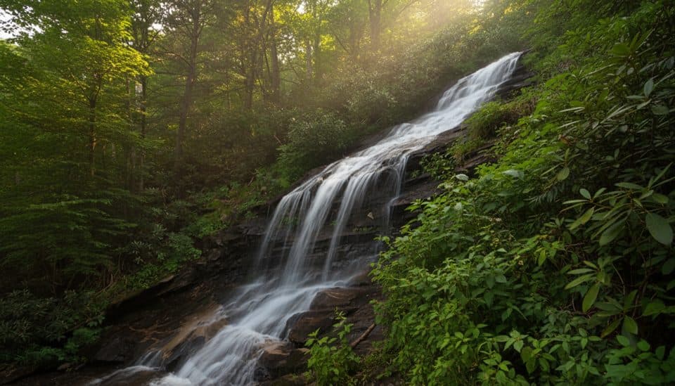 EasyCascades Trail (E.B. Jeffress)1 mi · 45 min · 7.5 mi awayOne-mile waterfall loop with two Cascade Falls overlooks and interpretive plaques
 EasyTompkins Knob Trail1.2 mi · 30 min · 7.8 mi awayAn easy cabin walk from a Blue Ridge Parkway overlook
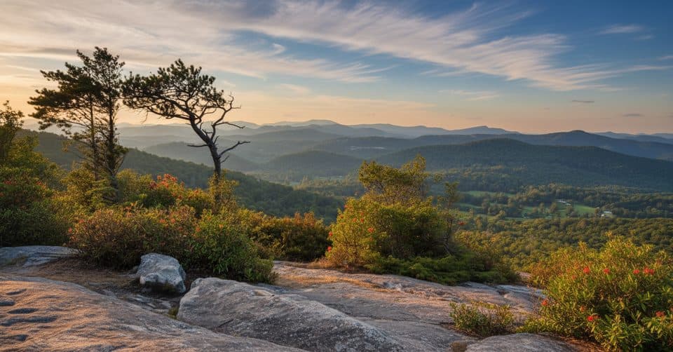 ChallengingFlat Rock Ridge Trail5 mi · 4 hr · 10.4 mi awayA five-mile ridge descent from Basin Cove to the creek
 ModerateGrassy Gap Fire Road6.5 mi · 3.5 hr · 10.9 mi awayWide, quiet descent with access to waterfalls and a rustic camp
 ChallengingBluff Ridge Primitive Trail5.5 mi · 5 hr · 12.1 mi awayA punishing primitive ridge descent from Bluff Mountain Shelter into Basin Cove.
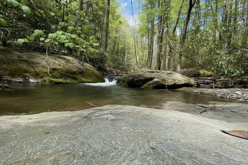 ChallengingBasin Creek Trail9.4 mi · 5.5 hr · 12.9 mi awayA remote creek walk to a historic cabin, with crossings to remember
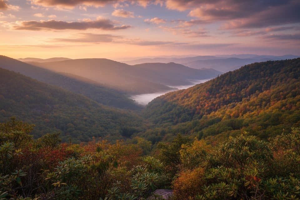 EasyWildcat Rocks Trail0.2 mi · 30 min · 13 mi awayA short walk to sweeping views from Wildcat Rocks
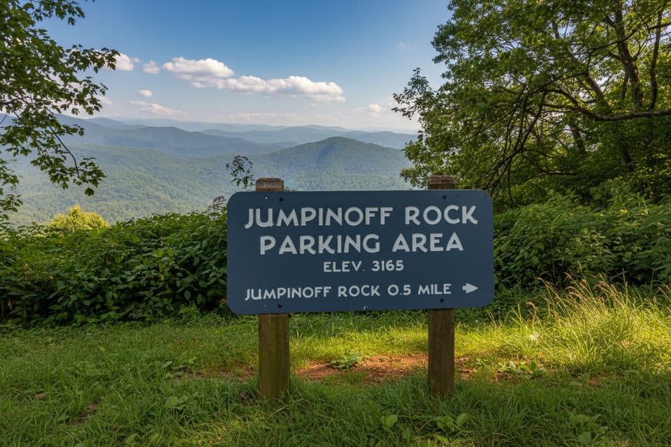 Scenic pullout · 0.4 mi awayJumpinoff Rock OverlookShort woodland stroll to a cliff‑top sunrise view
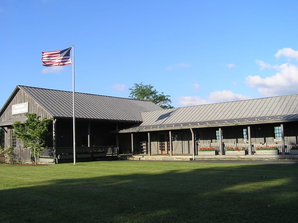 Store · 1.4 mi awayNorthwest Trading PostClassic crafts-and-snacks stop with restrooms and picnic tables
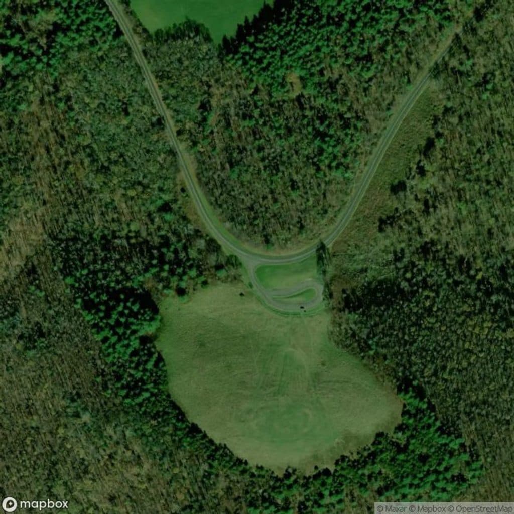 Scenic pullout · 3.4 mi awayThe Lump OverlookGrassy hilltop views with a quick stroll and a folk-story sign
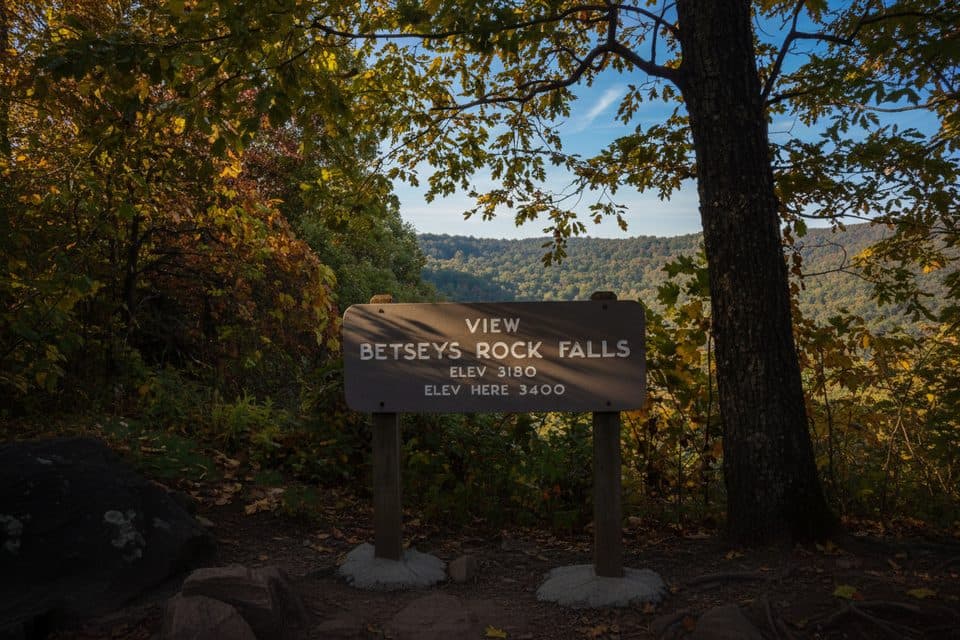 Scenic pullout · 3.5 mi awayBetsy's Rock FallsQuiet pullout with a distant, seasonal waterfall view
 Scenic pullout · 5.9 mi awayLewis Fork OverlookQuiet pullout with partial mountaintop views
 Sight · 7.1 mi awayThe CascadesShort loop to a dramatic multi-tier waterfall and stone overlooks
 Picnic area · 7.5 mi awayCascades Picnic AreaShady picnic lawn with a short walk to Cascades Falls
 Sight · 7.8 mi awayJesse Brown CabinQuiet log cabin time capsule off Tompkins Knob Overlook
Parkwolf’s Blue Ridge Parkway ranking
The audio tour guide for the drive, plus offline maps, trails, and wildlife heatmaps for when the signal drops.





