Pros & cons
PROS
- Re-created logging railroad adds a tangible slice of Parkway history
- Shady picnic spot beside a stream just steps from the car
CONS
- Flow can be underwhelming unless you time it after rain
- Uneven ties and roots make it unfriendly for strollers and wheelchairs
Park at Yankee Horse Ridge Overlook (Milepost 34.4) on the Blue Ridge Parkway; signed trailhead, auto/RV parking, picnic table, trash, and interpretive displays at the overlook ([nps.gov](https://www.nps.gov/places/yankee-horse-ridge.htm)).
Wet rocks and the small footbridge can be slick; expect uneven surfaces (ties, roots). Waterfall is seasonal—best after rain. No restrooms.
Why hike it
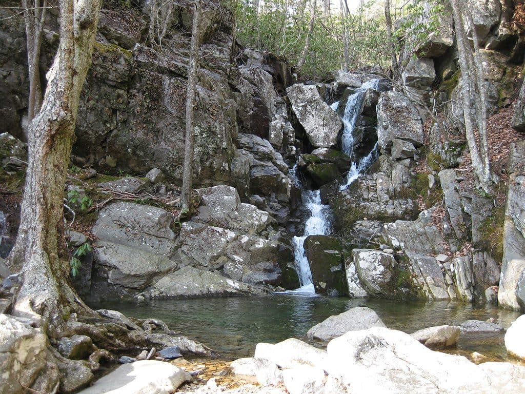
This is the definition of an easy, rewarding leg-stretcher: a very short stroll to a pretty cascade with a bonus dose of Blue Ridge logging history. From the Yankee Horse Ridge Overlook at Milepost 34.4, you’ll follow a shaded stream and pass a re-created section of the Irish Creek Railroad before arriving at Wigwam Falls. It’s a family favorite and one of the easiest waterfalls to access on this stretch of the Parkway ([nps.gov](https://www.nps.gov/places/yankee-horse-ridge.htm)).
The experience
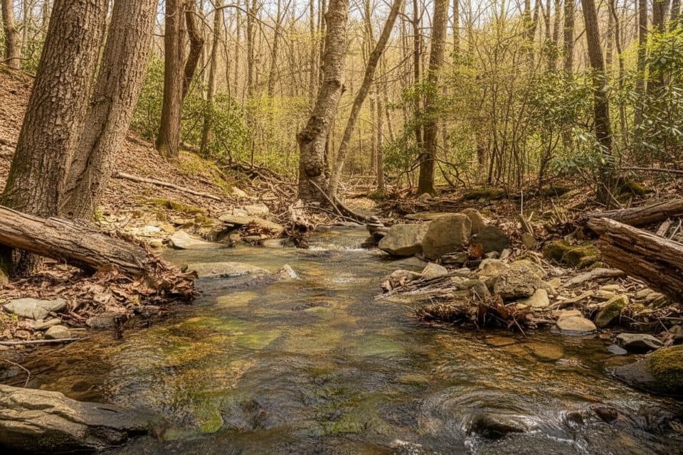
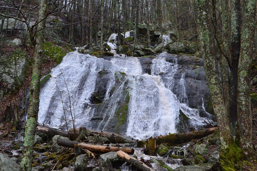
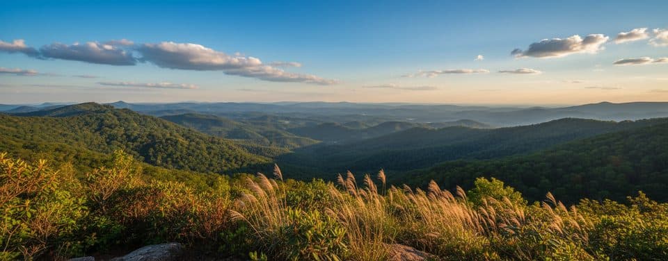
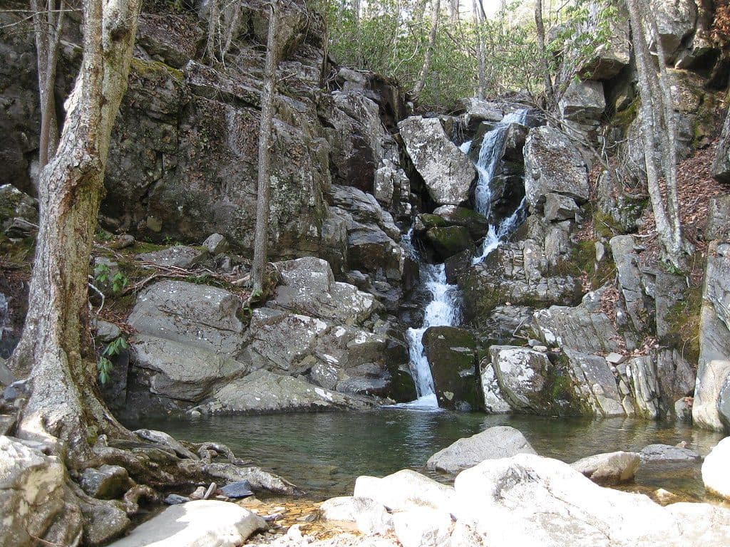
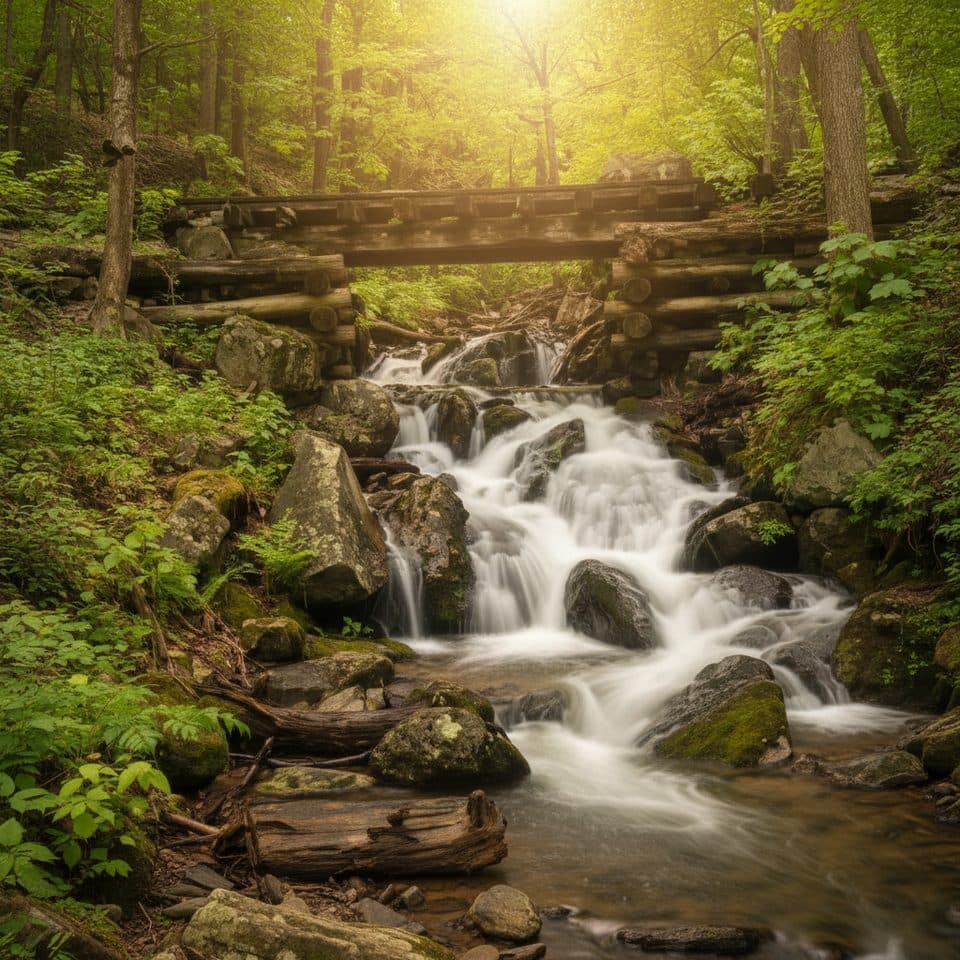
Expect a gentle, natural-surface path with a few uneven spots (ties, roots). The falls drop over gray rock and look best in spring or anytime after a soaking rain; in dry spells they can be modest. The setting is lush and photogenic, especially when wildflowers and migrating birds are around in spring ([nps.gov](https://www.nps.gov/places/yankee-horse-ridge.htm)). The reconstructed logging tracks and interpretive info add real context to the landscape—this was a busy timber corridor a century ago ([nps.gov](https://www.nps.gov/places/yankee-horse-ridge.htm)).
Route, distance, and difficulty
Park at Yankee Horse Ridge Overlook (MP 34.4). From the signed trailhead by the re-created tracks, take the path left of the rails to the base of the falls. It’s an out-and-back of about 0.2 miles total, with minimal elevation and footing that’s easy for most hikers ([shakaguide.com](https://www.shakaguide.com/tours/appalachia/blue-ridge-parkway-virginia-tour/stops/yankee-horse-ridge-trailhead), [theoutbound.com](https://www.theoutbound.com/virginia/hiking/hike-to-wigwam-falls), [nps.gov](https://www.nps.gov/places/yankee-horse-ridge.htm)). Plan 10–20 minutes including time to enjoy the falls ([nps.gov](https://www.nps.gov/places/yankee-horse-ridge.htm)).
Best time to hike
Spring is prime for water flow, wildflowers, and bird activity. The falls really pop after heavy rain any time of year. Autumn adds colorful foliage, but expect lower flow. Winter access is possible, though icy patches can happen. For elbow room, go early or on weekdays; mid-day on weekends sees more stop-and-go traffic from Parkway road-trippers ([nps.gov](https://www.nps.gov/places/yankee-horse-ridge.htm)).
Tips and amenities
This stop is tailor-made for a quick picnic—there’s parking for cars and RVs, a picnic table, trash receptacles, and interpretive displays at the overlook. Do bring water and expect no restrooms here. Pets are allowed on a leash per Parkway rules ([nps.gov](https://www.nps.gov/places/yankee-horse-ridge.htm), [nps.gov](https://www.nps.gov/blri/planyourvisit/pets.htm)). If you want a longer waterfall hike after this sampler, consider saving your miles for one of the bigger nearby outings off the Parkway.
Heads up
Rocks and wood can be slick when wet; tread carefully around the stream. The path’s uneven natural surface and railroad ties mean it’s not stroller- or wheelchair-friendly. Treat any natural water before drinking ([shakaguide.com](https://www.shakaguide.com/tours/appalachia/blue-ridge-parkway-virginia-tour/stops/yankee-horse-ridge-trailhead), [theoutbound.com](https://www.theoutbound.com/virginia/hiking/hike-to-wigwam-falls)).
Where it starts
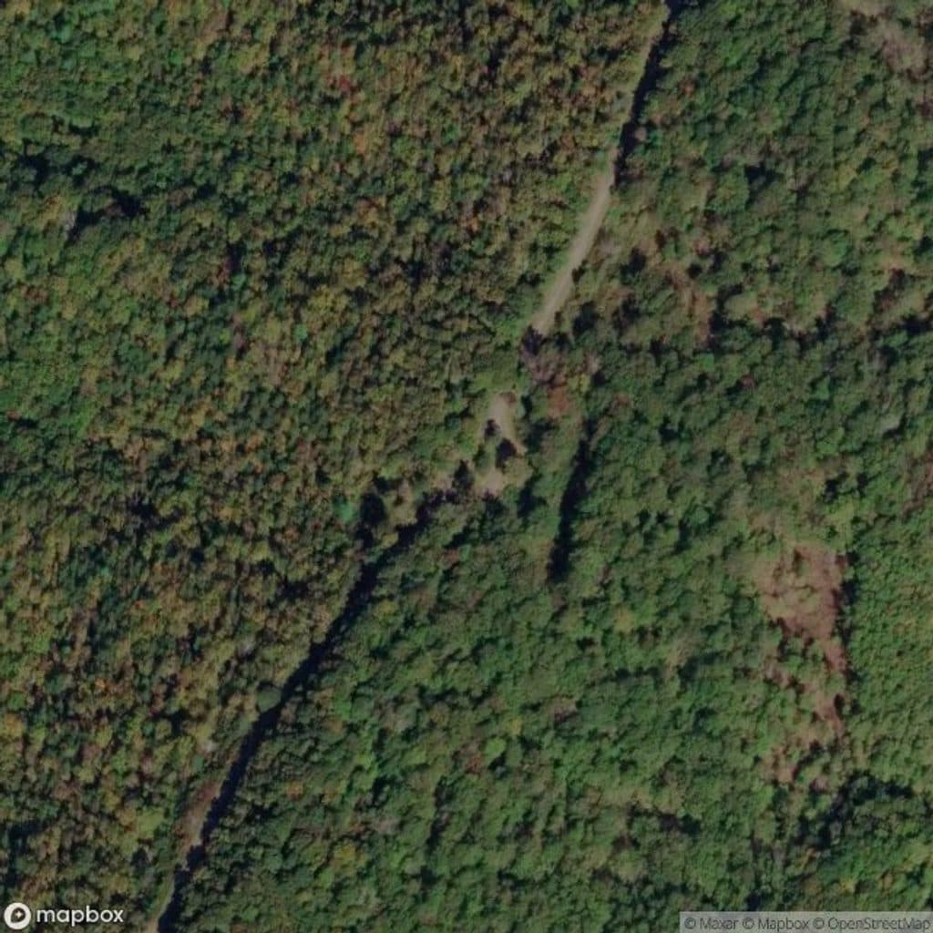
37.8093, -79.1798Near Wigwam Falls Trail
All places →All trails →
0 mi awayYankee Horse Ridge OverlookRoadside wigwam falls and a bite of logging historyTrailhead · Pullout
2.7 mi awayBoston Knob OverlookShady overlook with a short loop trail and picnic spotTrailhead · Pullout
5.6 mi awayIrish Creek Valley OverlookQuiet valley panorama from a simple roadside pulloutParking · Scenic Viewpoint
6.2 mi awayCrabtree FallsThe Parkway’s tallest single-drop waterfall via a rugged, rewarding loopTrailhead · Parking
9.5 mi awayWhite Rock Gap TrailWaterfall-and-ravine stroll with a fun creek crossing and views.Moderate · 3.4 mi · 2 hr
9.5 mi awayWhite Rock Falls TrailWaterfall, gorge, and forest loop off the Parkway near SlacksModerate · 4.5 mi · 2.5 hr
16.8 mi awayAlbright Loop TrailQuieter Humpback Rocks alternative with woods, streams, and a view spurModerate · 3.5 mi · 2.5 hr
19 mi awayHumpback Mountain TrailShort, punchy loop with big Blue Ridge views and AT ridgewalkModerate · 4.2 mi · 2.4 hr