Pros & cons
PROS
- Early-June azalea and rhododendron bloom along the ridge
- Shuttle-friendly: start high on the Parkway for a mostly downhill day
- Historic Sherando Lake CCC setting as a scenic finish
CONS
- Shared-use corridor with fast downhill mountain bike traffic
- Multiple junctions (Slacks, Blue Loop, etc.) make navigation easy to flub
- Rocky, knee-busting descent if you go lakeward
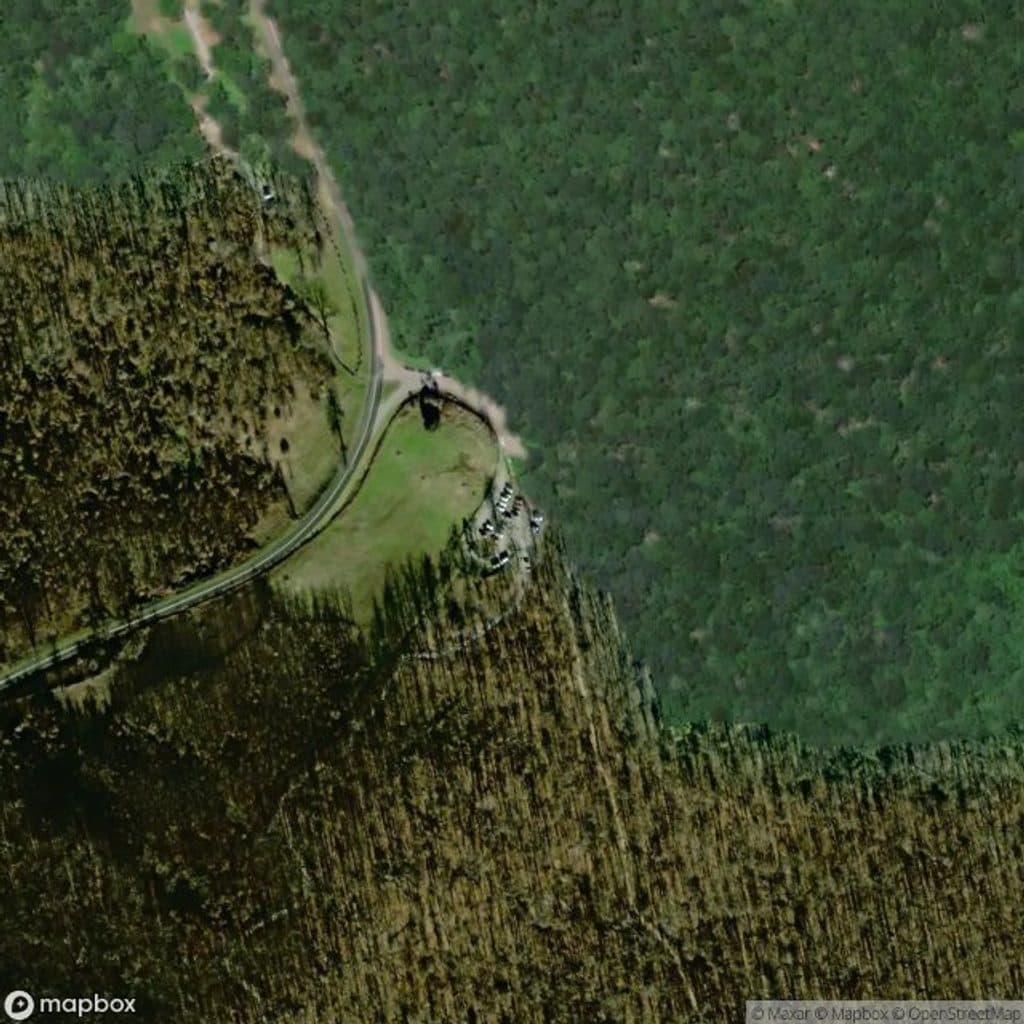
Park at Slacks Overlook/Bald Mountain area on the Blue Ridge Parkway for the high start, or at Sherando Lake Recreation Area for a lake-side start/finish (day-use fee may be charged seasonally).
Rocky, steep descents toward Sherando Lake; shared with mountain bikers; multiple intersections require careful navigation; limited reliable water; winter ice and ridge winds possible.
Why hike it
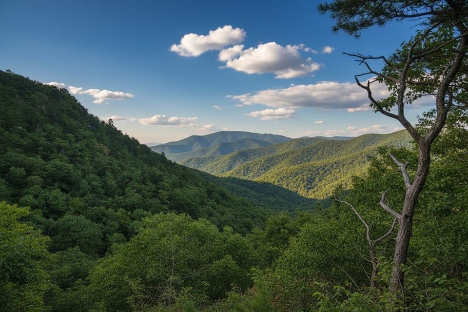
Torry Ridge delivers a classic Blue Ridge ridgeline walk: long views, a mixed-hardwood forest, and seasonal blooms that light up early summer. It’s often linked with nearby trails to create a full day out with a lake-side finish at Sherando Lake, which many hikers call the jewel of the Blue Ridge. Expect a moderate-to-strenuous feel thanks to rocky tread and steep pitches—especially on the descent toward the lake.
How long is it?
Plan on about 10.3 miles total when done as the popular loop that includes the Torry Ridge section (roughly 4.5–5 hours for most hikers). That loop sees about ~1,867 feet of elevation change. The Torry Ridge segment itself can be hiked in shorter or longer configurations depending on where you start and which connectors you use; many begin high near Bald Mountain along the Blue Ridge Parkway for a net downhill day.
Route and navigation
From high on the Blue Ridge Parkway near Bald Mountain, Torry Ridge runs along the spine before dropping steeply toward Sherando Lake and the Torry Furnace area. You’ll encounter several intersections—most notably with Slacks Trail and two crossings of the Blue Loop—plus junctions with White Rock Gap/Dam connectors in the broader network. Blazing is present (yellow and blue in places), but carry a map or GPS—the web of connectors makes missed turns easy.
Trail character and scenery
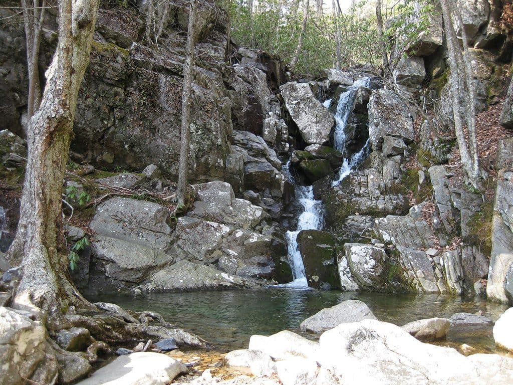
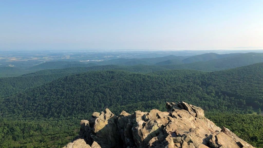
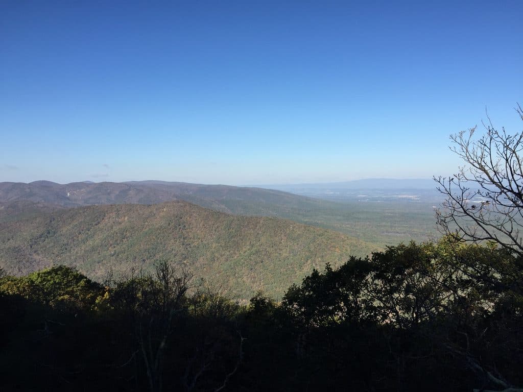
It’s mostly singletrack with rocky, uneven footing and some rooty, technical stretches. The ridge grants sweeping mountain vistas in leaf-off seasons and filtered outlooks when the canopy is in. In early June, azaleas and rhododendrons pop along the route; spring wildflowers and brilliant fall color bookend the season. The final miles toward Sherando Lake feel worlds apart—cool water, CCC-era recreation infrastructure, and a relaxing place to end a big hike.
Best time to hike
- Spring: Cool temps, wildflowers, and often clearer views.
- Early summer: Azalea/rhododendron bloom along the ridge; hot afternoons—start early.
- Autumn: Peak foliage and long views—arguably the best window.
- Winter: Quiet and wide-open vistas, but the ridge can be windy/icy—bring traction if conditions warrant.
Tips and tricks
- Start high, finish low: Begin near Bald Mountain on the Parkway and descend toward Sherando Lake or Torry Furnace to save the knees—set a shuttle or stage cars.
- Share the trail: This corridor is popular with mountain bikers, especially as a descent. Stay alert on narrow sections and yield appropriately.
- Footing matters: Sturdy shoes help on the rocky, sometimes slick descent.
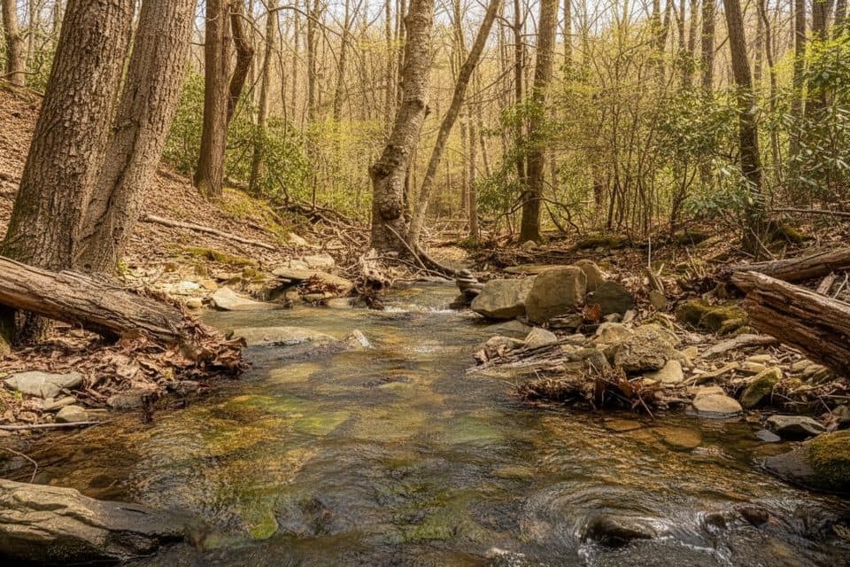
- Water: Streams aren’t reliable year-round—carry what you need.
- Camping: Sherando Lake Recreation Area has developed camping, and there are a few backcountry spots in the larger loop network.
Geology and natural notes
You’re walking atop ancient Blue Ridge bedrock with quartzite outcrops and thin, rocky soils—part of why the tread is rugged. Wildlife is typical of this forested ridge: deer browsing the edges, a variety of birds, and the possibility of black bear—store and handle food smartly.
Elevation
10.3 mi · 4.8 hrWildlife on this trail
Near Torry Ridge Trail
All places →All trails →
Linn Cove ViaductIconic S-curve bridge hugging Grandfather Mountain with epic viewsTrailhead · Pullout
Mount MitchellShort walk to the East’s highest peak and sweeping 360-degree viewsTrailhead · Scenic Viewpoint
Mount Mitchell State ParkEasy summit of the East’s highest peak with sweeping viewsTrailhead · Restroom
Craggy Pinnacle OverlookShort hike to a 360-degree summit with knockout mountain viewsTrailhead · Parking
Art Loeb TrailNorth Carolina’s classic 30-mile ridgeline epic of balds and quartzChallenging · 30.1 mi · 18 hr
Rough Ridge TrailBig views fast on a rocky climb to boardwalks and boulder perchesModerate · 1.6 mi · 1 hr
Sharp Top TrailShort, steep grind to a rocky summit and sweeping 360-degree viewsChallenging · 3 mi · 2.5 hr
Tennent Mountain LoopHigh-elevation balds, big views, and a fun 5-mile Art Loeb loopModerate · 5 mi · 2 hr