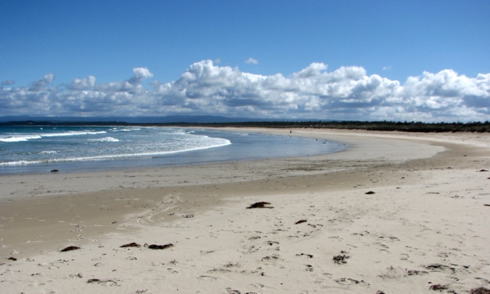
Parking
Use the Cape St George Lighthouse car park at the end of Old Lighthouse Road; the gravel footpath starts just off the lot. Driving into Booderee requires a vehicle park pass. Entry on foot or by bicycle is free.
#9 of 14 trails in Booderee
Booderee National Park, JBT
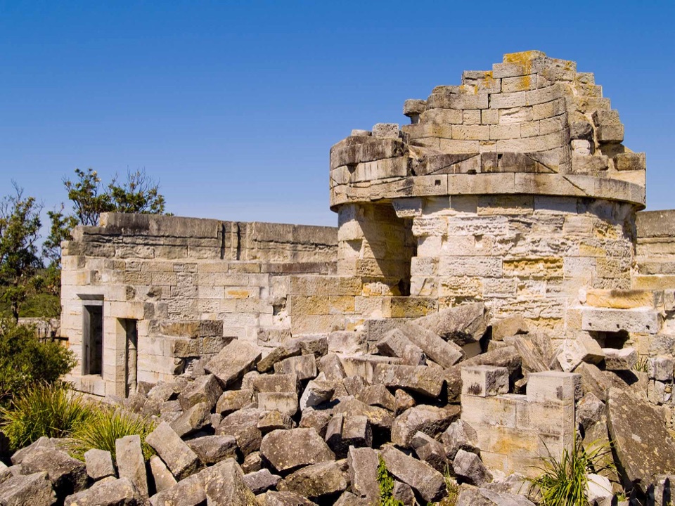
A short walk through lighthouse ruins above the open coast.
Overview
Map & elevation
Plan your hike

The highest, rockiest slopes around here are a summer buffet for grizzly bears.
Booderee Tour Guide
Parkwolf is a GPS audio tour guide for Booderee National Park. As you drive, it chimes in with what’s ahead: hidden gems, upcoming stops, history, geology, and wildlife, right through your car’s speakers.
Recorded for this trailhead
Cape St George Lighthouse Ruins“Cape St George Lighthouse is coming up, where sandstone ruins stand above the open coast. The light began operating in eighteen sixty, but mariners had trouble seeing it on approaches to Jervis Bay.”
Plays as you drive up to this trailhead in the Parkwolf Booderee Tour Guide.
More stories near here in the app
“Fantastic app with many points of information… It’s great to just turn on while you’re driving and it gives you an audio tour of the national Park. We love it!!!!”


Trail guide
The Cape St George Historic Lighthouse Walk is an out-and-back of about 0.45 mi (0.72 km) from the lighthouse car park to the ruins. The gravel footpath has a short side track toward Moe's Rocks and continues past the old stables and interpretive boards to the lighthouse grounds. Allow around 20 minutes walking, or closer to half an hour if you stop to read and look around. The return climbs back to the car park. No pets are permitted in Booderee. Drivers need a park pass; arriving on foot or by bicycle is free.
Start on the path just off the lot and go straight. The early right-hand spur looks toward Moe's Rocks; return to the main path to continue. An information board shows a historic photograph believed to date to about 1870, and the old stables are still visible. At the junction, turn right for the lighthouse foundations, the separate kitchen and laundry remains, and views across the sea and cliffs. Take the same route back. The sandstone wall makes a good foreground for a photo of the coast and lighthouse grounds together.
Colonial architect Alexander Dawson designed the light station, built from sandstone in 1860 and standing 18.5 m high. Its main building had eight rooms, and up to 15 keepers and family members lived at the station. The stables served the isolated site; a separate kitchen and laundry block likely dates to about 1865, and a seven-room head keeper's cottage was added in 1877. The nearest landing place was Murrays Beach, more than 4 km away, so horses carried supplies and mail overland.
The lighthouse could not prevent shipwrecks along Wreck Bay. Point Perpendicular Lighthouse replaced it in 1898, and the Cape St George tower was demolished in the early 20th century. The headland is also a whale-watching spot during migrations, especially June to July and September to November.
Wildlife
 202 sightingsGrey KangarooMost seen around 6 PMSighting map
 26 sightingsEchidnaMost seen around 6 AMSighting map
 16 sightingsRed-necked WallabyMost seen around 6 PMSighting map
 116 sightingsSwamp WallabyMost seen around 6 PMSighting map
 93 sightingsKookaburraMost seen around 6 AMSighting map
 22 sightingsYellow-tailed Black CockatooMost seen around 5 PMSighting map
Sighting maps show where each species has been reported across Booderee. Wildlife moves, so no sighting is guaranteed.
Keep exploring
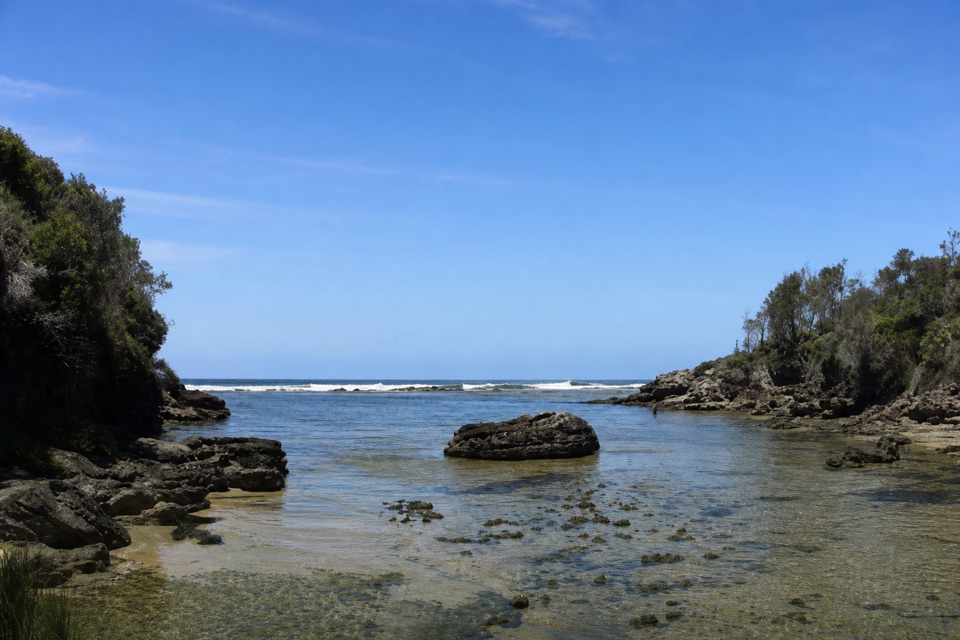 EasyStony Creek Walk0.5 km · 45 min · 1.7 km awayA quick walk to a sheltered rocky creek inlet.
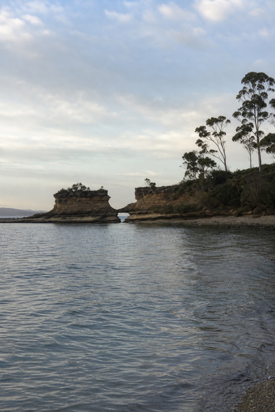 EasyHole in the Wall Track0.9 km · 20 min · 1.9 km awayA short gravel out-and-back to sheltered Hole in the Wall Beach.
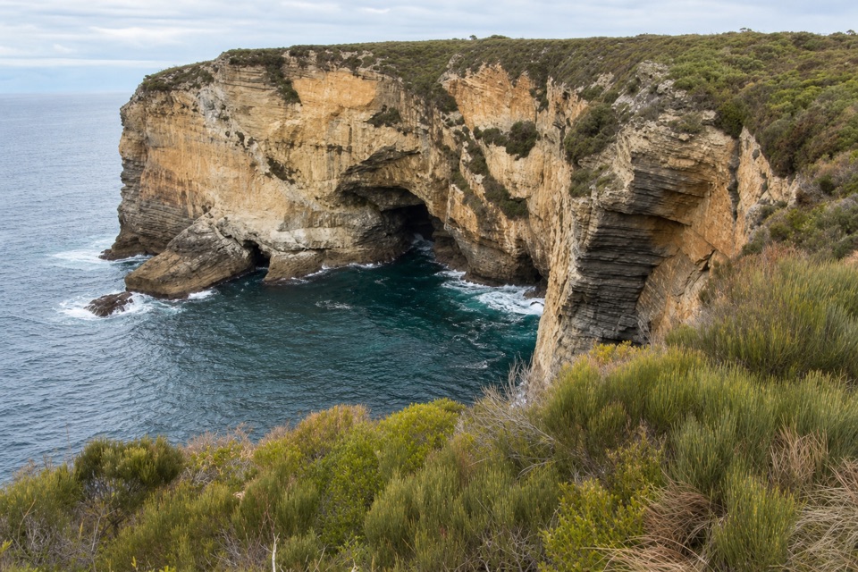 EasyMurrays Car Park to Hole in the Wall Low-Tide Walk2.2 km · 1 hr · 2.8 km awayA short low-tide shore walk to a sandstone opening.
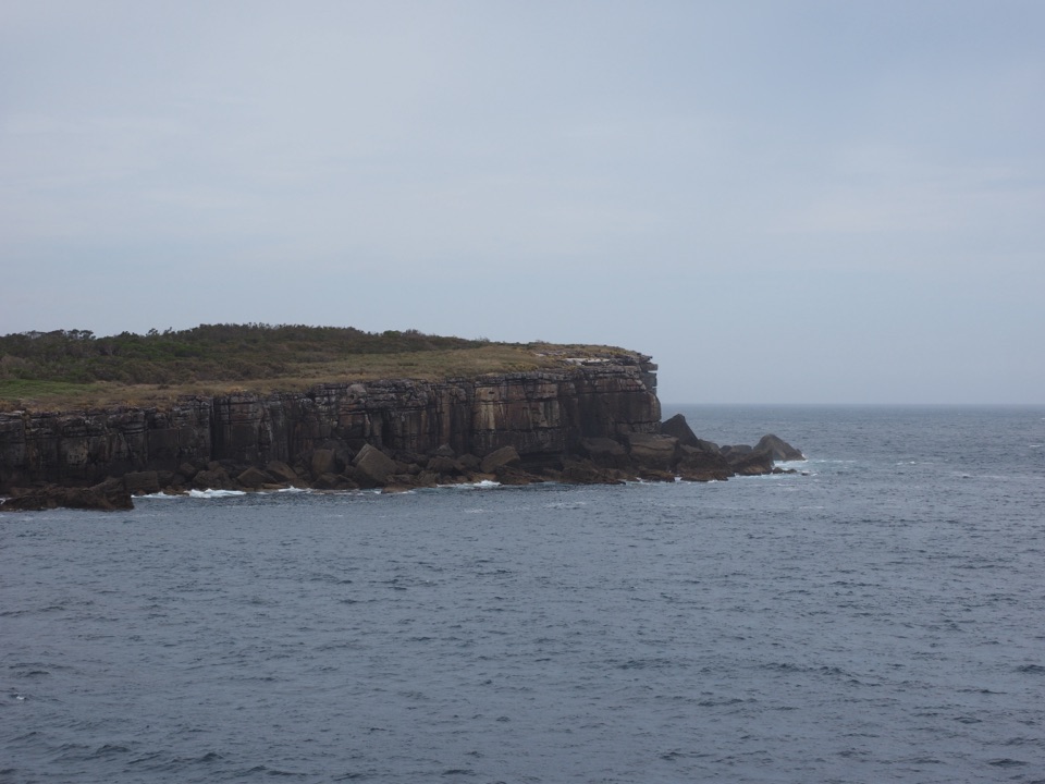 EasyMunyunga waraga dhugan Loop Walk6.1 km · 2.8 hr · 2.8 km awayFourteen signs, coastal heath and a wide view into Jervis Bay.EasyMurrays Beach to Governors Head Walk2.2 km · 45 min · 2.8 km awayShort beach walk to a clifftop view across Bowen Island.
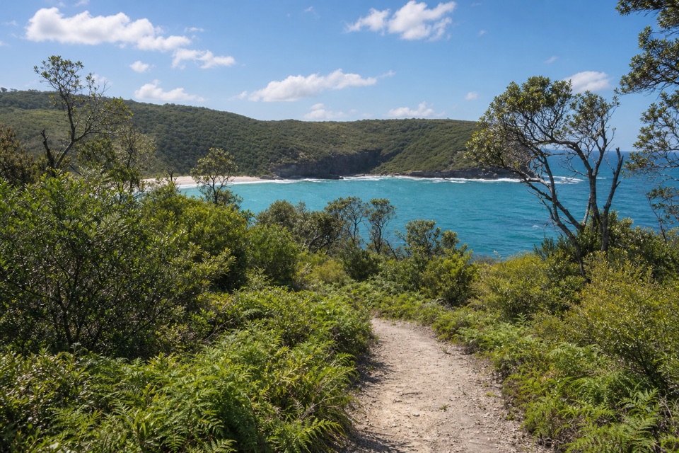 ModerateSteamers Beach Walk4.6 km · 2 hr · 3.5 km awayA shaded bush track ends on an isolated, cliff-backed beach.
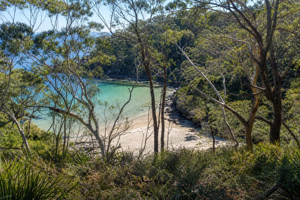 ModerateBooderee Circuit Trail11.4 km · 4 hr · 3.5 km awayFrom eucalypt shade to sea cliffs and Blacks Waterhole.
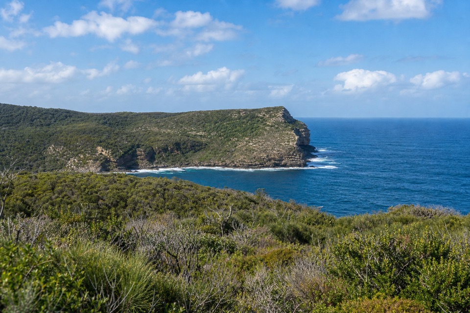 ModerateSt Georges Head Trail13.8 km · 5 hr · 3.5 km awayOcean cliffs after miles of quiet, undulating management track.Sight · 0.2 km awayCape St George LighthouseA ruined 1860 lighthouse with coastal views and seasonal whale watching.
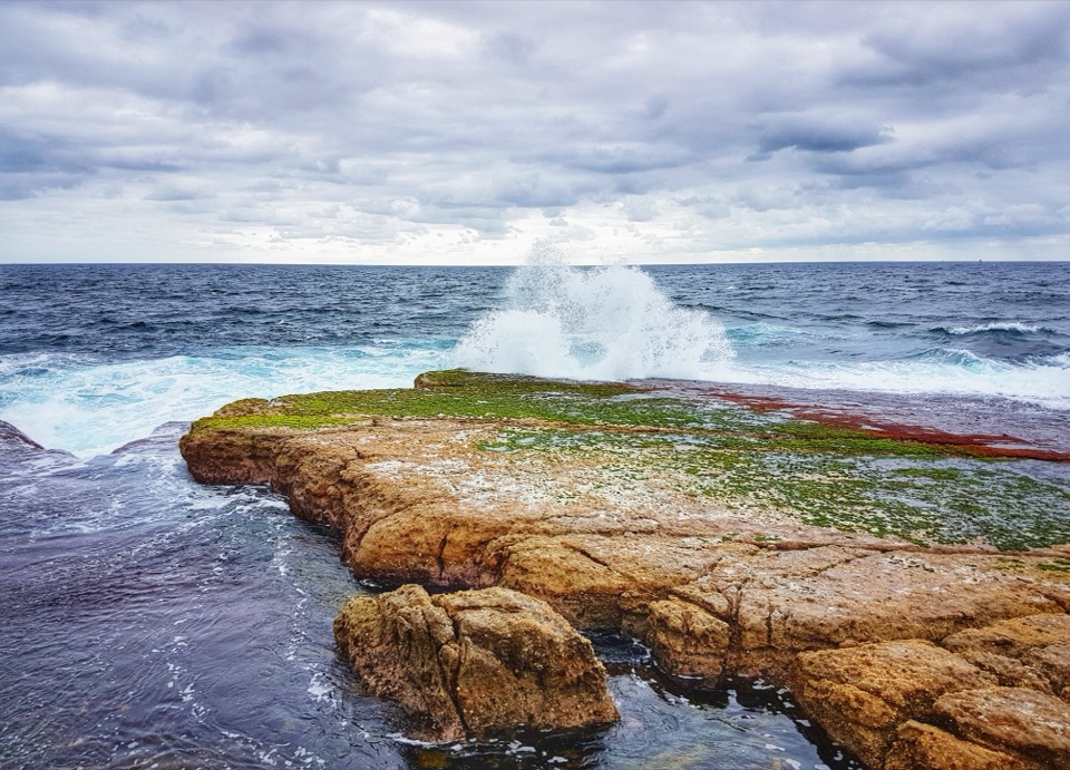 Sight · 0.9 km awayMoes RockSurf breaks over rock; Cape St George's lighthouse stands across the bay.
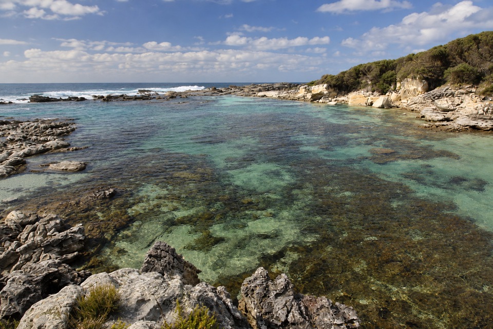 Beach · 1.8 km awayStony CreekClear pools behind wave-washed rock make this a quick snorkel stop.
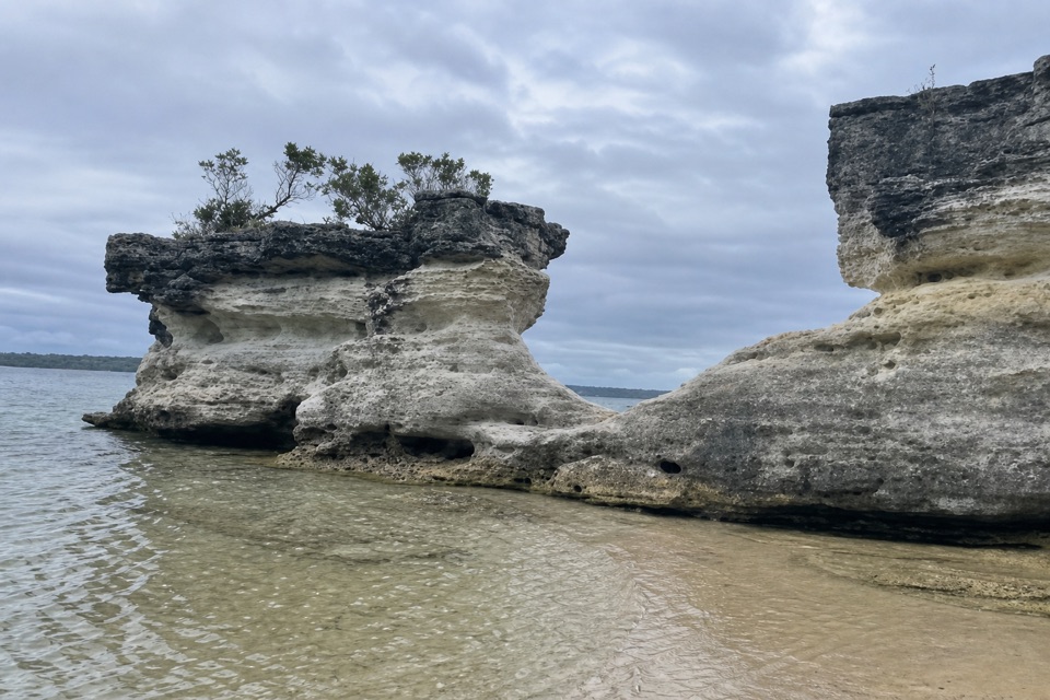 Beach · 2.3 km awayHole in the WallA crescent beach ends at a sandstone opening worn into a U.
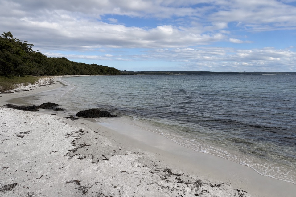 Beach · 2.3 km awayScottish RocksRock platforms, snorkelling and shallow pools make this beach different.
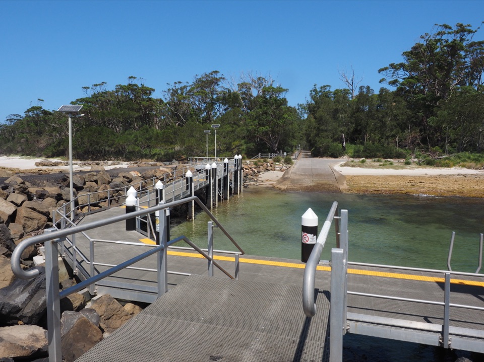 Sight · 2.9 km awayMurrays Boat RampA boat ramp on the low-tide walk to Murrays Beach.
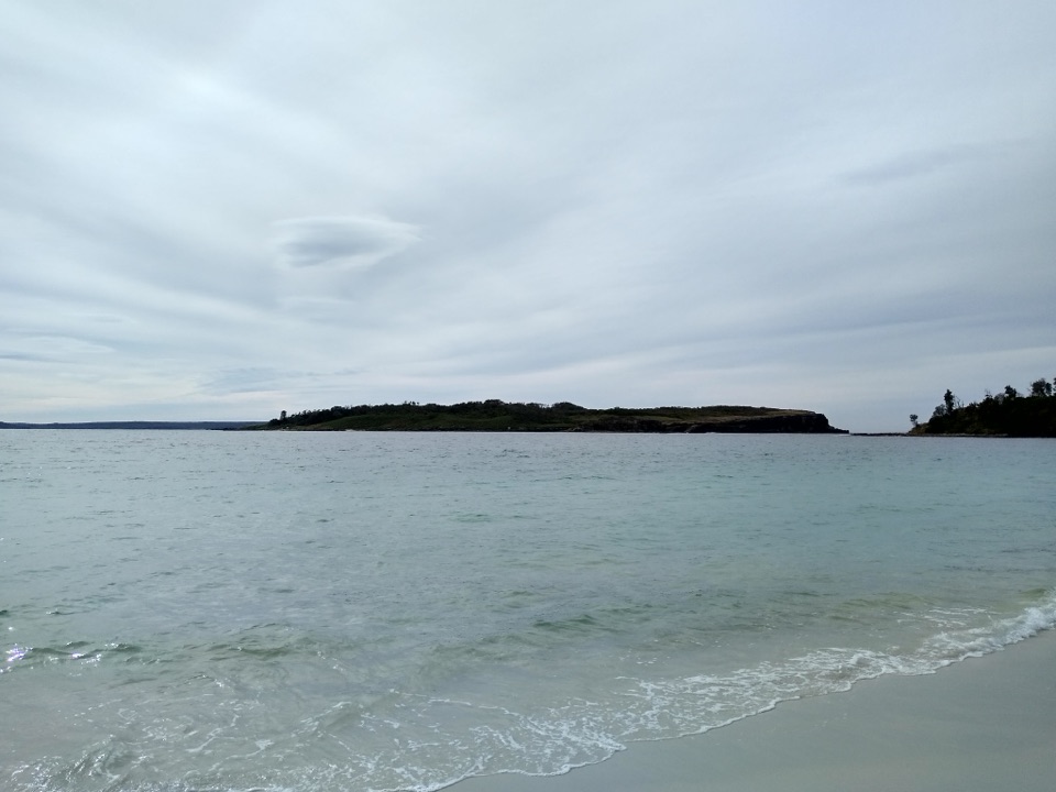 Beach · 2.9 km awayMurrays BeachFive minutes from parking to white sand and island views.Sight · 3 km awayGovernors Head LookoutA short coastal walk to Bowen Island’s cliffs and sea views.
Parkwolf’s Booderee ranking

The audio tour guide for the drive, plus offline maps, trails, and wildlife heatmaps for when the signal drops.