Parking
Limited parking at Whitewell before the public road ends; no public transport serves the start.
#10 of 260 trails in Cairngorms
Cairngorms National Park, SC
A full-day circuit over corrie rims and a rough glen return
Overview
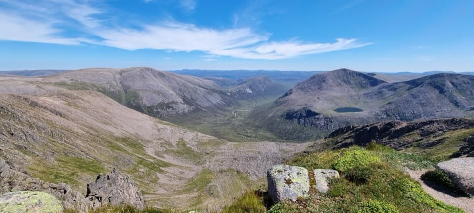
Braeriach Circuit from Whitewell is a demanding 16.7-mile (27 km) loop from the Rothiemurchus pinewoods to Braeriach’s 1,296 m summit, returning over the northern corrie rims and down Gleann Einich. The complete circuit is about 16.7 miles (27 km); published figures range from 16.2 to 17.1 miles. Plan on about 8–10 hours and roughly 1,200–1,550 m of climbing. A shorter time estimate exists, but it is based on a walking formula and leaves little room for breaks or difficult route-finding. This is a full mountain day for confident hillwalkers. If cloud or fatigue makes the northern return a poor choice, retrace the ascent instead.
 Parkwolf’s verdictIs this the hike for you?
Map & elevation
Plan your hike

The highest, rockiest slopes around here are a summer buffet for grizzly bears.
Cairngorms Tour Guide
Parkwolf is a GPS audio tour guide for Cairngorms National Park. As you drive, it chimes in with what’s ahead: hidden gems, upcoming stops, history, geology, and wildlife, right through your car’s speakers.
See the Cairngorms audio tourRecorded for this trailhead
Whitewell and Braeriach“You're approaching Whitewell, a starting point for Braeriach, Britain's third-highest mountain.”
Plays as you drive up to this trailhead in the Parkwolf Cairngorms Tour Guide.
More stories near here in the app
“Fantastic app with many points of information… It’s great to just turn on while you’re driving and it gives you an audio tour of the national Park. We love it!!!!”


Trail guide
From Whitewell, a rough path drops east to a larger forest track. The outward route crosses Rothiemurchus pinewoods, passes Loch Deo and reaches the Cairngorm Club’s iron footbridge. Beyond the trees, the path climbs high above Allt Druidh toward the Lairig Ghru. After crossing a burn, leave the main track for the clear, rebuilt path up Sròn na Lairige. The climb is sustained, but the ridge opens onto Lurcher’s Crag and the long cleft of the pass. A shallow dip separates the first ridge from the higher slopes; the path narrows briefly as views spread across Coire Brochain and Garbh Choire toward Cairn Toul and Sgòr an Lochan Uaine.
Braeriach’s cairn sits close to the edge above Coire Brochain. From here, the circuit heads northwest around Coire Ruadh, then west above the cliffs of Coire an Lochain. The corrie holds a surprisingly large loch, with gullies that can keep snow into late spring and sometimes summer. The plateau is broad and exposed, and navigation can become difficult when its features disappear in cloud. Keep the Lairig Ghru and Lurcher’s Crag in the frame from the summit ridge; the rocky rim gives the distant peaks a sense of scale.
The circuit’s harder navigation comes after the summit. The route crosses open ground above the corries before finding an old stalkers’ path. It zigzags down the west side, then fades. Do not drop straight down the heather: aim north toward Allt Easan na Bruaich and cross the bog to the glen track. This is a much rougher descent than the well-defined climb, and the faint line is easy to lose. Beanaidh Bheag may be crossed on stones in dry weather, but can require a wade and is impassable in spate. Farther down, a bridge crosses Am Beannaidh; at the fork, take the lower track through the pines.
At 1,296 m, Braeriach is Britain’s third-highest mountain. Its Gaelic name is glossed as “brindled upland,” fitting the mix of pale granite, dark corries and lingering snowfields. The northern corries hold snow unusually late, and their gullies are part of what makes this broad plateau feel more alpine than the forested approaches below.
Parking is limited at Whitewell, before the public road ends, and no public transport serves the start. There are no facilities on the route; the café at Rothiemurchus Centre in Inverdruie is a separate stop. Dogs can accompany walkers under Scotland’s responsible access rules, but keep them under proper control around wildlife and other visitors.
Wildlife
 159 sightingsRed DeerMost seen around 7 AMSighting map
 63 sightingsReindeerMost seen around 6 PMSighting map
 102 sightingsOspreyMost seen around 5 PMSighting map
 37 sightingsBlack GrouseMost seen around 4 AMSighting map
 72 sightingsRed GrouseMost seen around 6 PMSighting map
 82 sightingsPine MartenMost seen around 9 PMSighting map
Sighting maps show where each species has been reported across Cairngorms. Wildlife moves, so no sighting is guaranteed.
Keep exploring
 EasyLoch an Eilein Circuit5 km · 1.5 hr · 1.9 km awayA three-mile lochside loop through pines and past an island castle
 ChallengingLairig Ghru30.6 km · 10 hr · 2 km awayA full Cairngorms crossing over a rough, remote pass.
 EasyRothiemurchus Forest and the Iron Bridge7.6 km · 2 hr · 2 km awayA gentle pinewood loop to a 1912 bridge over the Am Beanaidh.
 ModerateBeaver Trail, Rothiemurchus7 km · 2.3 hr · 2.8 km awayWatch for beaver signs, then detour for Loch an Eilein’s ruined castle.
 EasyAviemore Orbital7.2 km · 2.5 hr · 3.9 km awayA gentle Aviemore loop through woods, town paths and the Spey
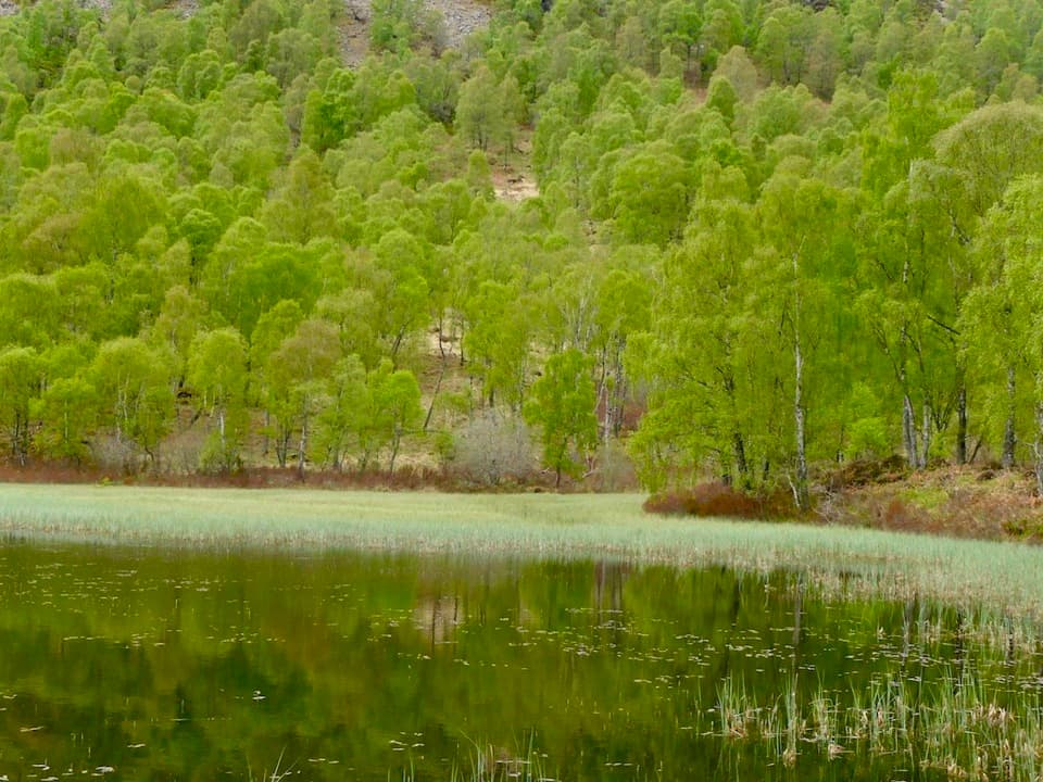 ChallengingBuzzard Trail1.8 km · 1.1 hr · 3.9 km awayA steep woodland loop above Craigellachie’s old reservoir.
 ChallengingViewpoint Trail, Craigellachie4.4 km · 2.5 hr · 4.1 km awayA sustained birchwood climb with wide views over Aviemore.
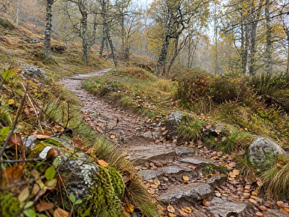 ModerateWoodland Trail, Craigellachie1 km · 20 min · 4.1 km awayA birchwood loop with spring flowers and a few steep, uneven stretches.Sight · 1.9 km awayLoch an EileinAn island castle makes this easy loch loop memorable.
 Campground · 2 km awayRothiemurchus Camp and Caravan ParkA pinewood base for tents, caravans and nearby walks.
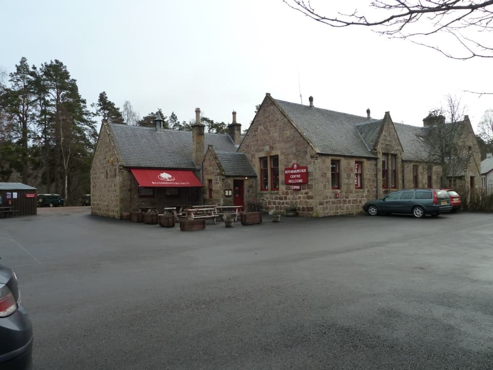 Visitor center · 2.6 km awayRothiemurchus CentreCoffee, estate food and a handy start to local walks.
 Sight · 4.2 km awayStrathspey RailwayA vintage train runs through Speyside to TV-famous Broomhill.
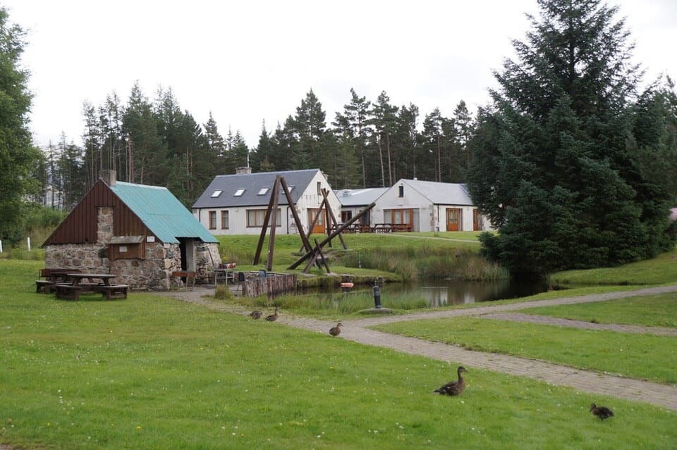 Lodging · 4.9 km awayBadaguish Outdoor CentreA forest base for lodges, heated pods and group camping
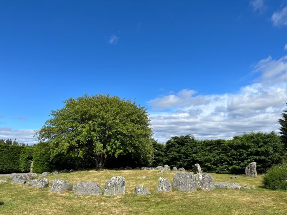 Sight · 5.1 km awayAviemore Ring Cairn and Stone CircleA small prehistoric circle in Aviemore’s unexpected village setting.
 Sight · 5.2 km awayCairngorm BreweryA small Aviemore taproom for trying local ales and taking favourites home.
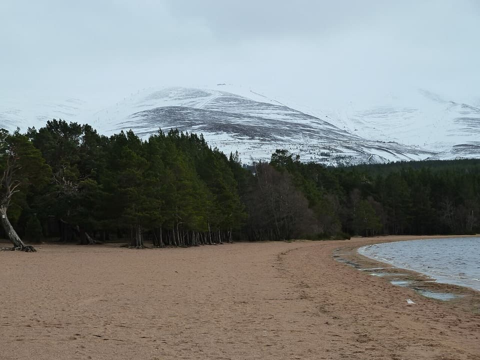 Beach · 5.7 km awayLoch Morlich BeachA sandy freshwater beach with the Cairngorms across the water.
Parkwolf’s Cairngorms ranking
The audio tour guide for the drive, plus offline maps, trails, and wildlife heatmaps for when the signal drops.



