Aviemore Orbital in Cairngorms National Park

Cairngorms National Park, SC

Aviemore Orbital

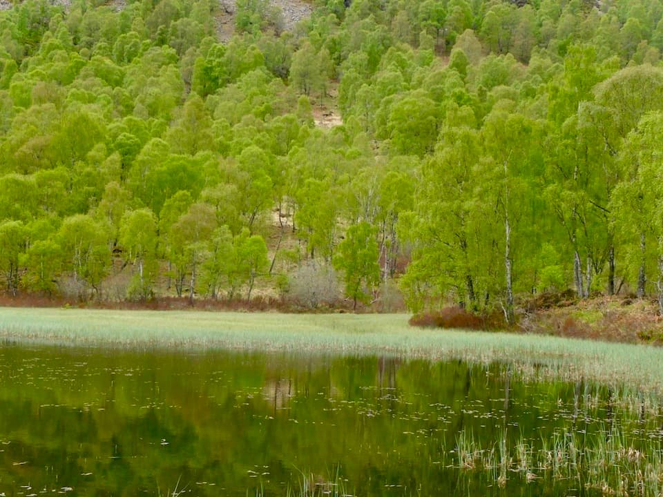
A gentle Aviemore loop through woods, town paths and the Spey

Photo: Wikimedia Commons
Length
7.2km
Time
2.5hr
Elev. change
28m
Difficulty
Easy
  • Loop
  • High point 240 m

Hear the audio tour

Craigellachie’s Viewpoint Walk

Overview

About Aviemore Orbital

Why go

  • Woodland, riverbank and village scenery in one loop
  • Mostly gentle grades with useful landmarks along the way

Heads up

  • Two main-road crossings and a narrow rough section beside water
  • The Dalfaber portion is partly unwaymarked

Map & elevation

The route

Loading the Cairngorms map
Full map
Elevation212–240 m
TrailheadAviemore Youth Hostel57.18435, -3.83299
Keep this map with you offline in the Parkwolf app

Plan your hike

Before you go

Parking

Start near Aviemore Youth Hostel at the south end of the main street. Its car park is described as available to walkers, but access terms and charges were not established; check before relying on it. Bus and rail services also serve Aviemore.

Safety

Two main-road crossings need care. A short, narrow, stony section beside water has a drop, and the Spey-side path can become muddy or impassable at high water.

3 active Cairngorms alerts

  • CautionStorm Boelo high windsStorm Boelo will bring extremely windy weather to the Cairngorms; take extra care and limit time outdoors. - The Park Authority expects the very windy weather to last until Monday 26 October.Official details
  • ClosureGlenmore wildfire closures and dangerous treesWildfire damage has closed Allt Mor car park and the path to Sugarbowl/Utsi’s Bridge; keep out of the closed area.Official details
See all 3 alerts
A park ranger sits on a dash-mounted phone, talking, as Parkwolf’s Tour Guide plays “Army Cutworm Moths: A Grizzly Bear Buffet” on Grand Loop Road below Dunraven Pass in Yellowstone
Parkwolf Tour GuideThe highest, rockiest slopes around here are a summer buffet for grizzly bears.

Cairngorms Tour Guide

Your drive to Aviemore Orbital, narrated.

Parkwolf is a GPS audio tour guide for Cairngorms National Park. As you drive, it chimes in with what’s ahead: hidden gems, upcoming stops, history, geology, and wildlife, right through your car’s speakers.

See the Cairngorms audio tour

Recorded for this trailhead

Craigellachie’s Viewpoint Walk
0:00 / 0:28
“You’re nearing the access to Craigellachie Nature Reserve, where the Viewpoint Trail climbs through birchwoods to an open view over Aviemore and the Cairngorms.”

Plays as you drive up to this trailhead in the Parkwolf Cairngorms Tour Guide.

More stories near here in the app

  • Strathspey Railway from Aviemore
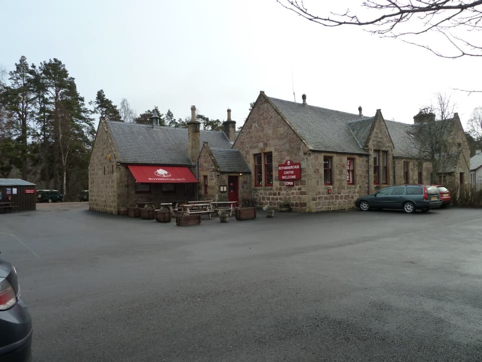
  • Rothiemurchus Centre, Food and Beaver Trail
  • A Bat’s Feeding Buzz
  • Geal-charn Mòr from Lynwilg
  • 298 audio storiesacross Cairngorms’s roads, triggered by GPS as you drive
  • Wildlife heatmapsfor Red Deer, Reindeer, Osprey, and 13 more
  • Works offlinemaps, 260 trails, 90 places, and audio download before you lose signal
  • CarPlay readysimple controls built for the drive
★★★★★
“Fantastic app with many points of information… It’s great to just turn on while you’re driving and it gives you an audio tour of the national Park. We love it!!!!”
JMJamesApp Store review
Download Parkwolf on the App StoreGet Parkwolf on Google Play

4.7 from 8,600+ ratings

Trail guide

Hiking Aviemore Orbital

The full loopAviemore Orbital is a low-lying circuit linking Aviemore’s streets, woodland edge and a…

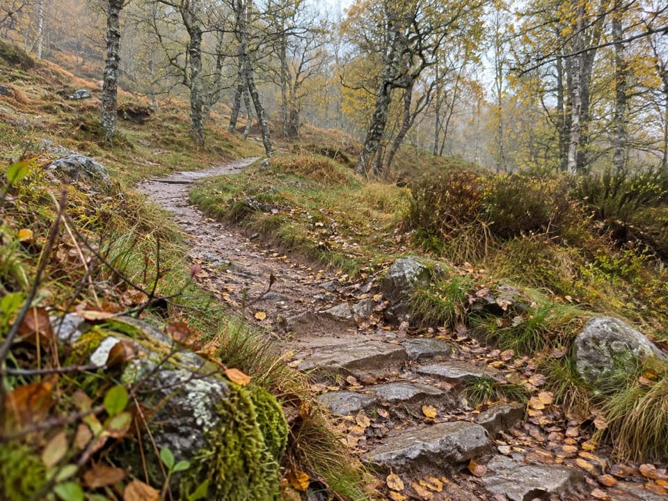
Aviemore Orbital is a low-lying circuit linking Aviemore’s streets, woodland edge and a riverside stretch beside the River Spey. The mapped loop is about 4.45 miles (7.1 km), and around 2½ hours is a realistic allowance. Published figures range from 3¾ to 5 miles, so treat the distance as approximate; this route follows the connected paths and short street link mapped around Dalfaber. Most of the walk is gently graded, with occasional moderate slopes and a mix of pavement, gravel and uneven earth.

Starting from townBegin near Aviemore Youth Hostel, at the south end of the village’s main street.

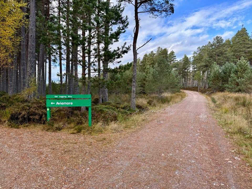
Begin near Aviemore Youth Hostel, at the south end of the village’s main street. Where the path leads toward the A9 underpass, take the steps signed for the Orbital instead of going through the tunnel. The route skirts resort grounds and open grass before entering trees; the early paved stretches make for an easy start, but this remains a walk through a lived-in town edge rather than a remote trail.

Dalfaber and the northern edgePast the leisure complex and waterworks, the path threads behind the Scandinavian Village and…

Past the leisure complex and waterworks, the path threads behind the Scandinavian Village and through woodland beside the A9. Several forks make the Dalfaber section the trickiest part to follow: it is partly unwaymarked. The mapped line briefly returns along a woodland path, then uses local streets to join the next trail section. Keep a map handy at junctions. A bridge over a burn and open views of the Cairngorms above Aviemore’s rooftops make this stretch more than a simple town walk.

Across to the SpeyThe circuit crosses the A95 before passing a railway bridge and footbridges.

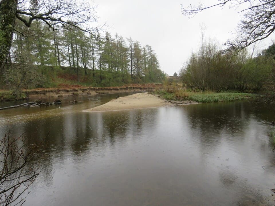
The circuit crosses the A95 before passing a railway bridge and footbridges. It continues through a railway culvert onto the Speyside Way, then skirts the golf course and drops through woodland toward the River Spey. A short section beside water is narrow, stony and uneven, with a drop at the edge. The riverside path is the most scenic part, but it can be muddy and may be impassable when the river is high; an alternative along the golf-course edge is described locally, but is not included in this mapped line.

Returning to AviemoreAfter the river stretch, the route climbs through a grassy field and passes a wooden riverside…

After the river stretch, the route climbs through a grassy field and passes a wooden riverside shelter with seats before road and railway crossings lead back toward the hostel. The railway is part of Aviemore’s story: its arrival helped turn a small farming and inn settlement into a Highland resort. Expect a varied village circuit, not a wilderness walk, and allow time for its crossings and less obvious Dalfaber turns.

Wildlife

Wildlife in Cairngorms

All Cairngorms wildlife maps

Sighting maps show where each species has been reported across Cairngorms. Wildlife moves, so no sighting is guaranteed.

Keep exploring

Near Aviemore Orbital

See it all on the map

Trails that start nearby

Places near the trailhead

Parkwolf’s Cairngorms ranking

Top-rated trails in Cairngorms

All 260 trails
  1. 1Loch an Eilein CircuitEasy · 5 km
  2. 2Lairig GhruChallenging · 30.6 km
  3. 3Ben Macdui and Cairn Gorm CircuitChallenging · 19.8 km
  4. 4Loch Morlich TrailModerate · 5.6 km
  5. 5Meall a’ Bhuachaille CircuitChallenging · 8 km
  6. 6Loch Muick CircuitModerate · 12.5 km

Take Parkwolf to Cairngorms.

The audio tour guide for the drive, plus offline maps, trails, and wildlife heatmaps for when the signal drops.

4.7 from 8,600+ ratings

Download Parkwolf on the App StoreGet Parkwolf on Google Play