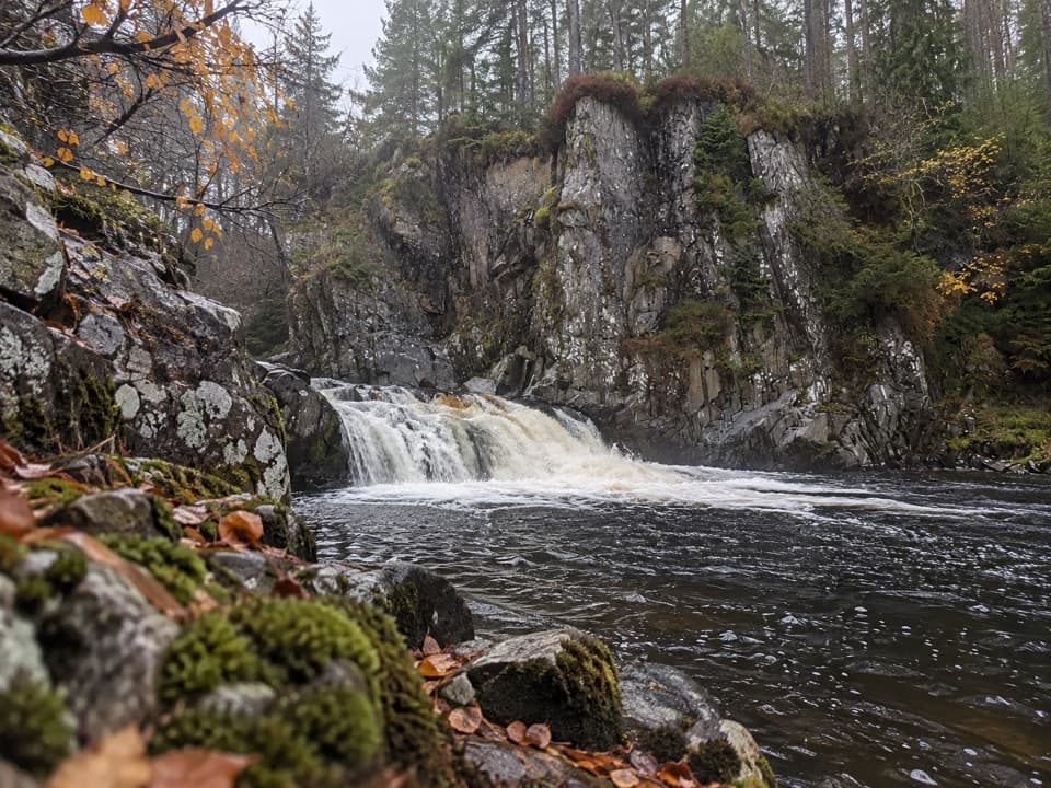
Parking
Use the parking area just before Garva Bridge on the minor road beyond Spey Dam. The walk crosses the bridge before turning onto the uphill track; capacity and fee details are not stated.

Cairngorms National Park, SC
A remote Munro with boggy ground and a long, broad summit plateau.
Overview
Geal Chàrn from Garva Bridge is a 7.75-mile (12.5 km) out-and-back to a 926 m Monadh Liath Munro, with 625 m of ascent. Allow five to six hours. The walk crosses wet moorland and an indistinct ridge before reaching a broad summit plateau and a large cairn. Choose it for a remote hill day if you are comfortable navigating where the path fades.
 Parkwolf’s verdictWorth the long climb
Map & elevation
Plan your hike

The highest, rockiest slopes around here are a summer buffet for grizzly bears.
Cairngorms Tour Guide
Parkwolf is a GPS audio tour guide for Cairngorms National Park. As you drive, it chimes in with what’s ahead: hidden gems, upcoming stops, history, geology, and wildlife, right through your car’s speakers.
See the Cairngorms audio tourRecorded for this trailhead
Garva Bridge and Geal Chàrn“Garva Bridge is coming up, the starting point for Geal Chàrn in the Monadhliath. This is a remote hill day: allow five to six hours for the seven-and-three-quarter-mile return to a broad summit plateau and large cairn.”
Plays as you drive up to this trailhead in the Parkwolf Cairngorms Tour Guide.
More stories near here in the app
“Fantastic app with many points of information… It’s great to just turn on while you’re driving and it gives you an audio tour of the national Park. We love it!!!!”


Trail guide
Start at the parking area just before Garva Bridge, then cross the old double-span stone bridge. It was built by General Wade for his military road over the Corrieyairack Pass, so the walk begins with a bit of Highland history before the climb. Follow the tracks northeast, cross a smaller bridge over Allt Coire Iain Oig, then turn onto the far-side track and follow grassy banks beside Feith Talagain. Beyond a fence gap and stile, the path stays above the burn across boggy ground to Allt Coire nan Dearcag. If that crossing is high, keep going upstream to look for an easier place rather than forcing it.
A steady northeast pull reaches a flatter shoulder southwest of the summit, with views back across the glen toward the Creag Meagaidh group and Loch Laggan hills. The large cairn is about 700 m farther across the plateau. This is the westernmost Monadh Liath Munro, well apart from the other three, with broad, relatively featureless country stretching north. Retrace your ascent for the easiest descent. An optional circuit around Lochan a' Choire is a different route and crosses Markie Burn; that crossing can be impossible in spate.
The start is reached by car via the minor road past Spey Dam; there is no public transport to Garva Bridge. Food, toilets and drinking water were not confirmed at the start or along the route, so arrive prepared. Deer stalking takes place on Glenshero Estate from August into mid-December; check current estate access advice before setting out. Dogs can accompany responsible walkers under Scotland's access rules, but keep them under close control around livestock and wildlife.
Wildlife
 159 sightingsRed DeerMost seen around 7 AMSighting map
 63 sightingsReindeerMost seen around 6 PMSighting map
 102 sightingsOspreyMost seen around 5 PMSighting map
 37 sightingsBlack GrouseMost seen around 4 AMSighting map
 72 sightingsRed GrouseMost seen around 6 PMSighting map
 82 sightingsPine MartenMost seen around 9 PMSighting map
Sighting maps show where each species has been reported across Cairngorms. Wildlife moves, so no sighting is guaranteed.
Keep exploring
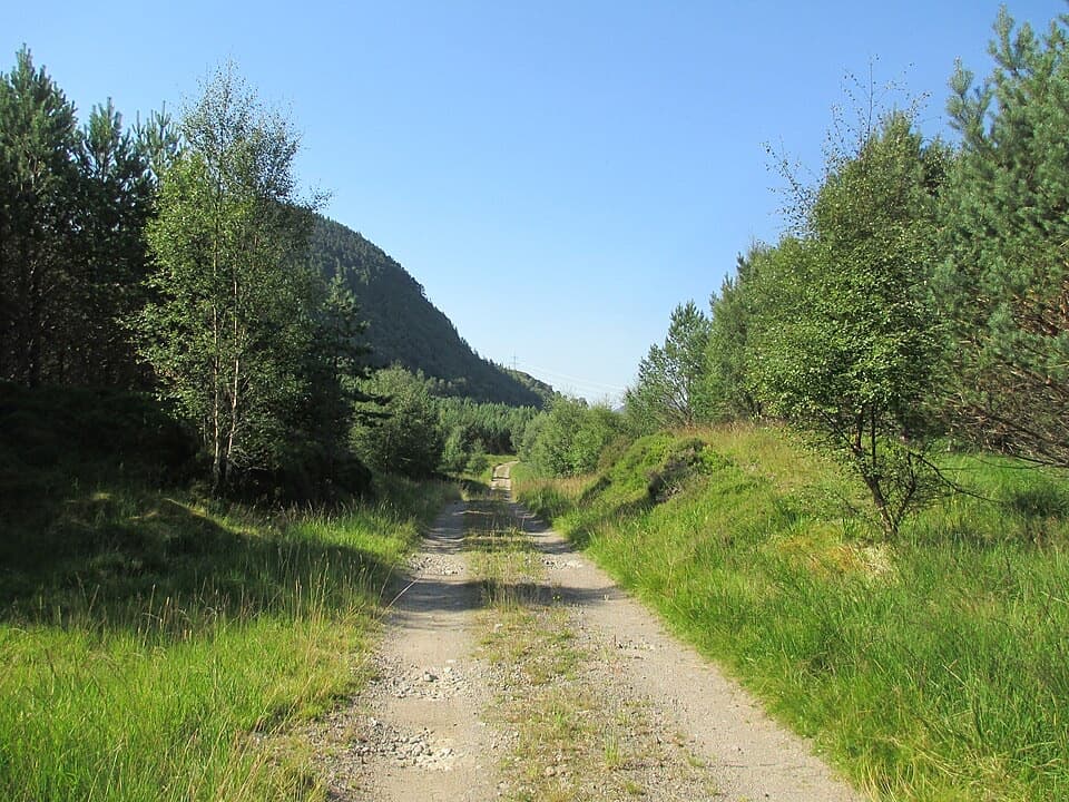 ModerateMaria Mahria Way4.5 km · 4 hr · 5.1 km awayA rough rural track linking the A86 and the old Corrieyairack route.
 EasyFalls of Pattack Trail4.5 km · 1.5 hr · 5.8 km awayA woodland climb reaches the upper falls in a rocky gorge.
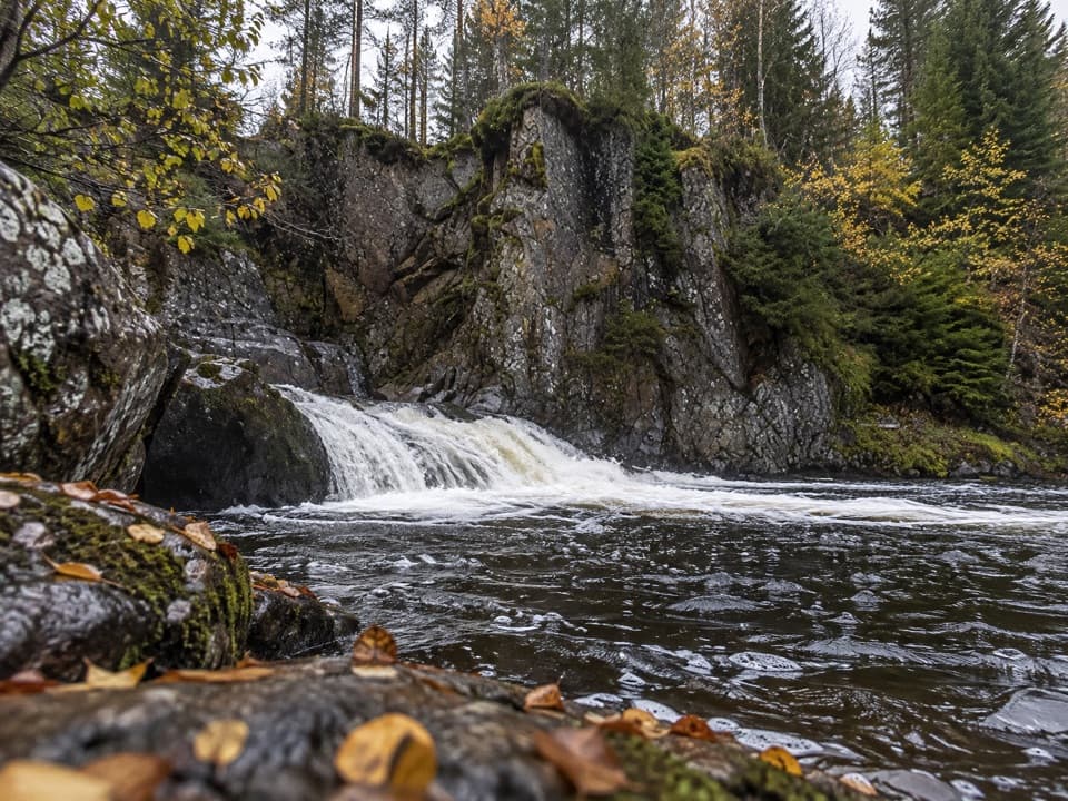 EasyLower Pattack Falls Stroll0.2 km · 15 min · 6.3 km awayA short woodland path to the Pattack’s lower cascade.
 ModerateDruim an Aird Township Trail4.4 km · 1.8 hr · 6.3 km awayFollow yellow markers through woodland to a ruined township.
 ChallengingGlen Markie Track25 km · 8.5 hr · 6.3 km awayLaggan’s old northbound track becomes a rough 25 km crossing.
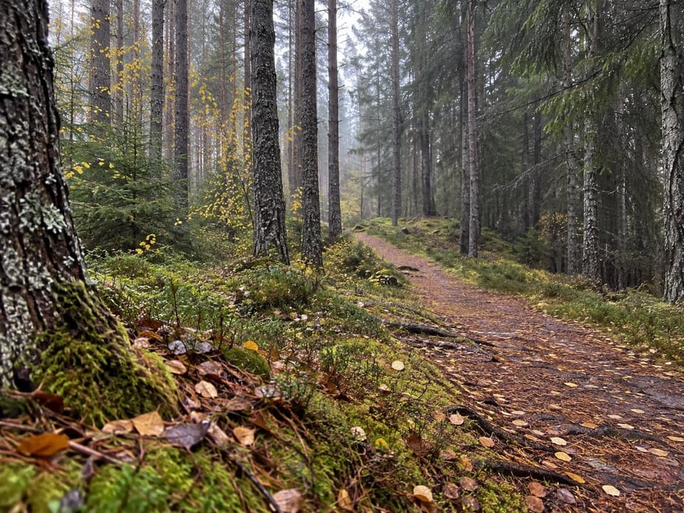 ModerateSpruce and Squirrel Trail, Laggan2.2 km · 45 min · 7.5 km awayFollow red waymarks and look for pine cones nibbled by squirrels.
 ModerateDun da Lamh Fort Trail7.2 km · 3 hr · 7.5 km awayClimb Laggan woodland to an Iron Age fort with wide Highland views.
 ModerateGorstean Trail4.2 km · 1.5 hr · 8.7 km awayA firm gravel forest path shared with mountain bikers
Parkwolf’s Cairngorms ranking
The audio tour guide for the drive, plus offline maps, trails, and wildlife heatmaps for when the signal drops.