Parking
Start at Laggan Wolftrax Centre car park, at the far northeast end of the parking area. A parking fee applies.

Cairngorms National Park, SC
Climb Laggan woodland to an Iron Age fort with wide Highland views.
Overview
Dun da Lamh means “fort of the two hands.” The Iron Age fort was built around 2,000 years ago, and its position on Black Craig gives a wide view over Strath Laggan: look southwest toward Loch Laggan, northwest toward the Corrieyairack Pass and northeast toward the Cairngorms. The hillfort and its outlook give the walk a clear payoff beyond the steady forest climb.
 Parkwolf’s verdictWhy go to the top
Map & elevation
Plan your hike

The highest, rockiest slopes around here are a summer buffet for grizzly bears.
Cairngorms Tour Guide
Parkwolf is a GPS audio tour guide for Cairngorms National Park. As you drive, it chimes in with what’s ahead: hidden gems, upcoming stops, history, geology, and wildlife, right through your car’s speakers.
See the Cairngorms audio tourRecorded for this trailhead
Laggan Wolftrax and Dun da Lamh“Up ahead is Laggan Wolftrax, a mountain-bike centre with trails ranging from beginner greens to expert blacks. Start on the green routes if you're new; the black trails involve steep, technical riding.”
Plays as you drive up to this trailhead in the Parkwolf Cairngorms Tour Guide.
More stories near here in the app
“Fantastic app with many points of information… It’s great to just turn on while you’re driving and it gives you an audio tour of the national Park. We love it!!!!”


Trail guide
Dun da Lamh Fort Trail is a moderate out-and-back from Laggan Wolftrax Centre to an Iron Age fort on Black Craig. Plan on about 4½ miles (7.2 km) return and around three hours. The current route listing rounds that to 4¼ miles (7 km), while an older route map labels the final 500 m approach separately; keep time for the steep climb if you want to reach the fort itself.
The path leaves from the far northeast end of the Wolftrax car park, climbing through woodland before opening onto Black Craig. Most of the approach is firm gravel, with uneven stretches and a gentle to moderate climb. Purple waymarks mark the main junctions; there is one road crossing and one gate.
A picnic table sits before the information board. From there, the fort lies about 165 m farther north. The final path is steep and narrow, and the stony summit is uneven underfoot. This short section asks more of you than the broad track, so take care on the way up and down.
Start at Laggan Wolftrax Centre car park; a parking fee applies. Dogs are welcome under the National Park’s usual access guidance: keep them close and on a short lead near livestock, nesting birds or wherever signs request it, particularly from April through August.
Wildlife
 159 sightingsRed DeerMost seen around 7 AMSighting map
 63 sightingsReindeerMost seen around 6 PMSighting map
 102 sightingsOspreyMost seen around 5 PMSighting map
 37 sightingsBlack GrouseMost seen around 4 AMSighting map
 72 sightingsRed GrouseMost seen around 6 PMSighting map
 82 sightingsPine MartenMost seen around 9 PMSighting map
Sighting maps show where each species has been reported across Cairngorms. Wildlife moves, so no sighting is guaranteed.
Keep exploring
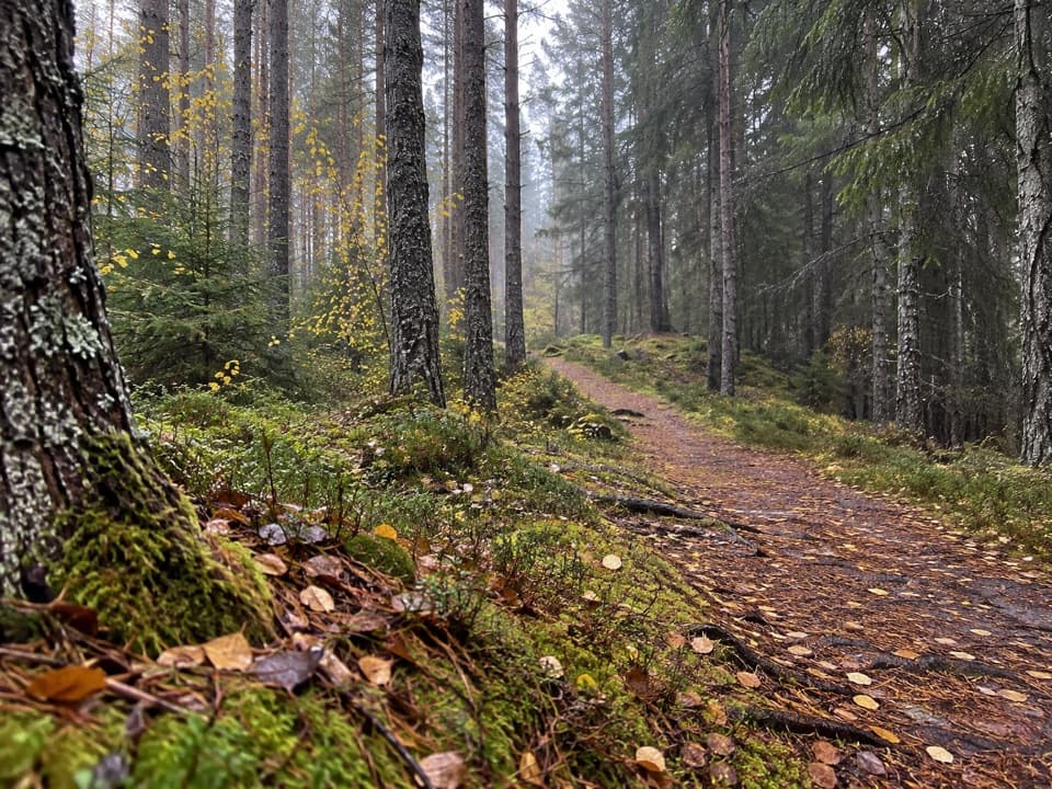 ModerateSpruce and Squirrel Trail, Laggan2.2 km · 45 min · At the trailheadFollow red waymarks and look for pine cones nibbled by squirrels.
 ChallengingGlen Markie Track25 km · 8.5 hr · 1.6 km awayLaggan’s old northbound track becomes a rough 25 km crossing.
 ModerateGorstean Trail4.2 km · 1.5 hr · 1.9 km awayA firm gravel forest path shared with mountain bikers
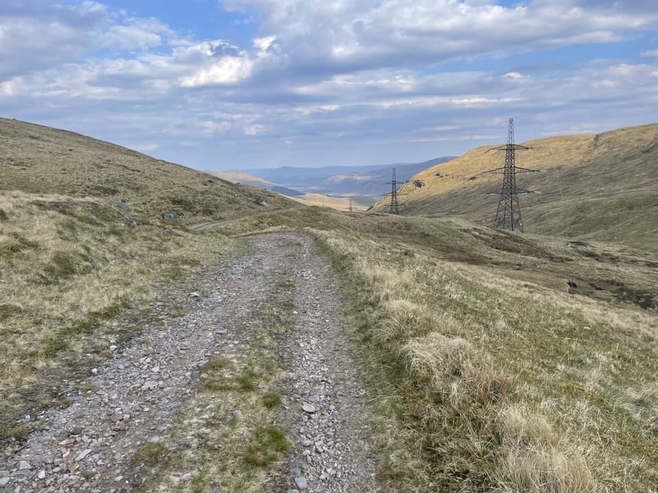 ChallengingCorrieyairack Pass39.4 km · 11 hr · 2.9 km awayFollow General Wade’s 1731 road across the Monadhliath.
 ModerateDruim an Aird Township Trail4.4 km · 1.8 hr · 3.3 km awayFollow yellow markers through woodland to a ruined township.
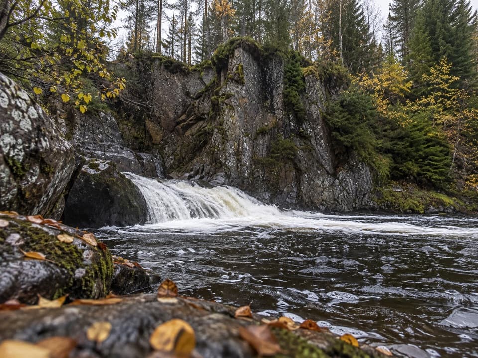 EasyLower Pattack Falls Stroll0.2 km · 15 min · 3.3 km awayA short woodland path to the Pattack’s lower cascade.
 EasyFalls of Pattack Trail4.5 km · 1.5 hr · 4.5 km awayA woodland climb reaches the upper falls in a rocky gorge.
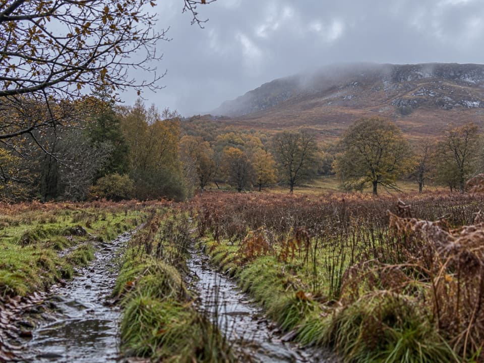 ModerateAllt Mhoraich Circuit5.6 km · 2.5 hr · 6.6 km awayA rough moorland loop where the track fades beneath the crags.
 Sight · At the trailheadLaggan WolftraxOver 20 forest miles, from beginner greens to one unforgiving black.
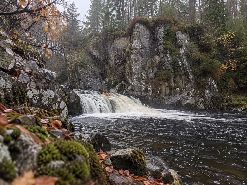 Sight · 3.4 km awayPattack FallsShort woodland walk to cascades in a rocky gorge.
 Sight · 8.2 km awayDalwhinnie DistilleryWhisky tours and tastings at a Highland distillery 355 metres up.
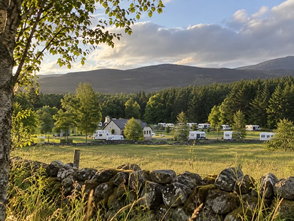 Campground · 9.7 km awayInvernahavon Caravan ParkRoomy pitches, hot showers and wooded Highland views.
 Sight · 13.6 km awayClan Macpherson MuseumClan stories, Jacobite objects and music in a village museum.
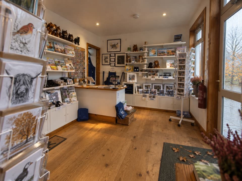 Visitor center · 13.9 km awayThe Wildcat CentrePick up a map and hunt Newtonmore’s 132 painted wildcats.
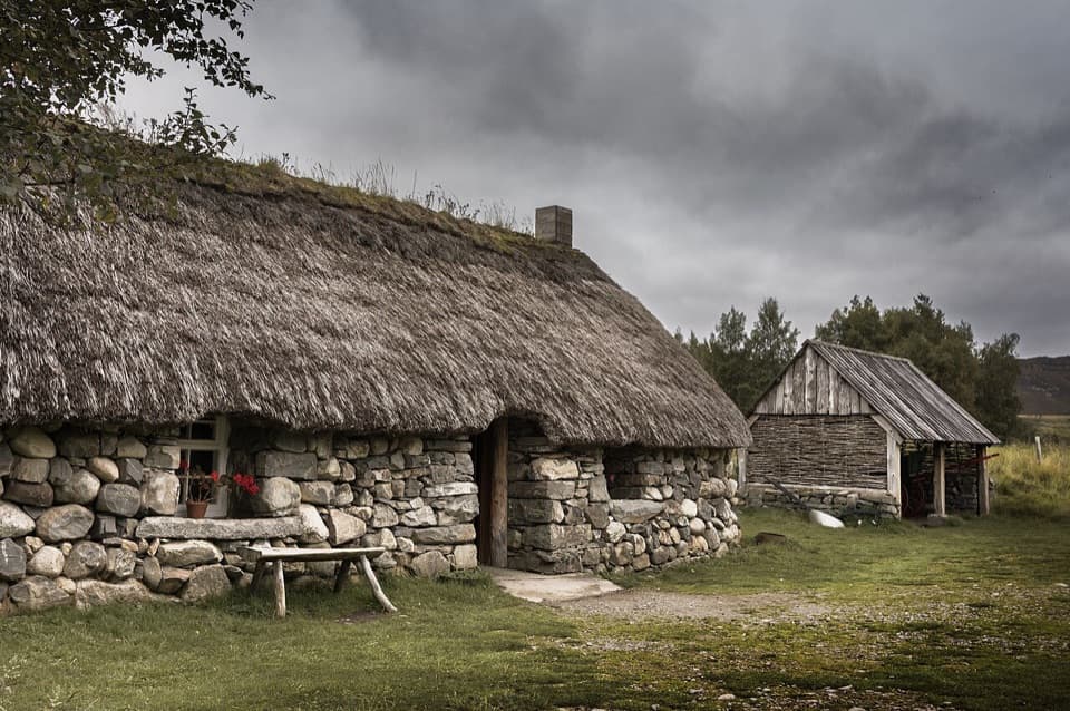 Sight · 15.4 km awayHighland Folk MuseumA reconstructed township and over 35 Highland buildings to explore.
Parkwolf’s Cairngorms ranking
The audio tour guide for the drive, plus offline maps, trails, and wildlife heatmaps for when the signal drops.





