Parking
Start at Spey Dam, where parking is noted. The finish is on the public road north of Loch Killin, about 7 km from Whitebridge, so arrange collection or another vehicle before setting out.

Cairngorms National Park, SC
Laggan’s old northbound track becomes a rough 25 km crossing.
Overview
Map & elevation
Plan your hike

The highest, rockiest slopes around here are a summer buffet for grizzly bears.
Cairngorms Tour Guide
Parkwolf is a GPS audio tour guide for Cairngorms National Park. As you drive, it chimes in with what’s ahead: hidden gems, upcoming stops, history, geology, and wildlife, right through your car’s speakers.
See the Cairngorms audio tourRecorded for this area
Gold Speckles on the Moor“One bird to watch for on a summer moorland walk is the golden plover. Its back is speckled with gold, while the breeding plumage has a black breast and belly edged in white.”
Plays on the road 0.9 km from the trailhead in the Parkwolf Cairngorms Tour Guide.
More stories near here in the app
“Fantastic app with many points of information… It’s great to just turn on while you’re driving and it gives you an audio tour of the national Park. We love it!!!!”


Trail guide
Glen Markie Track is a 25 km (15.5 mi) one-way walk from Spey Dam to the public road at the north end of Loch Killin. It climbs through Glen Markie, crosses open ground northeast of Geal Charn, then descends beside the Crom Allt toward the former Sronlarig Lodge site. This is a hard, remote full-day walk, not a circuit; allow around 8–10 hours. That is a planning estimate because no official time is published. The published route is 25 km, while its map line measures about 21.4 km. Plan around 25 km and treat the line as an approximate guide, especially across the rough middle ground.
Start at Spey Dam, where parking is noted. You finish on the road north of Loch Killin, not back at the dam; Whitebridge is another 7 km beyond that point. Arrange a pickup or a second vehicle before setting out. The 35 km Laggan–Whitebridge link is a longer route, and the 17 km Geal Charn return is a separate outing from the same general start. Neither is the route described here.
From the dam, follow the rough track north for almost 5 km. It peters out just beyond Piper’s Burn. Cross Markie Burn by the substantial footbridge, then head northwest up the ridge northeast of Lochan a’ Choire toward the corrie lip. Wet peat along the east-side approach makes the line difficult to pick out in places, so don’t expect a clear vehicle track all the way up.
The route crosses the flat plateau northeast of Geal Charn, then drops to Lochan na Lairige; it does not climb Geal Charn itself. The ground rises from about 264 m at Spey Dam to roughly 825 m on the mapped line before descending. Cairns mark the col, and the burns help show the old line across the rough peat hags. This is open hill country where navigation matters more than following a continuous path.
From Lochan na Lairige, follow smooth grassy streamside flats north beside the Crom Allt to a windfarm access road. The route jogs west for about 250 m, then northeast for about 350 m to regain the older track near a chalybeate spring that isn’t obvious. Follow the burn downstream and bear left at the junction for the former Sronlarig Lodge site. From there it is about 5 km, passing Killin Lodge, to the road at Loch Killin’s north end.
This was reportedly the preferred route from Laggan toward Inverness, with ancient cairns at the col. Burns offered a natural line through a landscape of peat hags, long before parts of the route were overlain by land-rover and estate tracks. The walk passes the site of Sronlarig Lodge, built for Lord Lovat in 1903 and tied to the history of the Lovat Scouts; treat it as a former lodge site, not a promised standing building.
Wildlife
 159 sightingsRed DeerMost seen around 7 AMSighting map
 63 sightingsReindeerMost seen around 6 PMSighting map
 102 sightingsOspreyMost seen around 5 PMSighting map
 37 sightingsBlack GrouseMost seen around 4 AMSighting map
 72 sightingsRed GrouseMost seen around 6 PMSighting map
 82 sightingsPine MartenMost seen around 9 PMSighting map
Sighting maps show where each species has been reported across Cairngorms. Wildlife moves, so no sighting is guaranteed.
Keep exploring
 ModerateDun da Lamh Fort Trail7.2 km · 3 hr · 1.6 km awayClimb Laggan woodland to an Iron Age fort with wide Highland views.
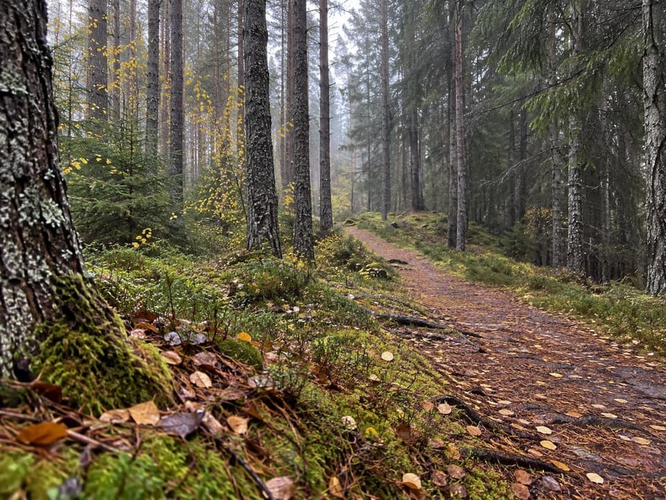 ModerateSpruce and Squirrel Trail, Laggan2.2 km · 45 min · 1.6 km awayFollow red waymarks and look for pine cones nibbled by squirrels.
 ModerateGorstean Trail4.2 km · 1.5 hr · 2.4 km awayA firm gravel forest path shared with mountain bikers
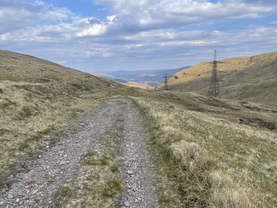 ChallengingCorrieyairack Pass39.4 km · 11 hr · 3.1 km awayFollow General Wade’s 1731 road across the Monadhliath.
 ModerateDruim an Aird Township Trail4.4 km · 1.8 hr · 3.8 km awayFollow yellow markers through woodland to a ruined township.
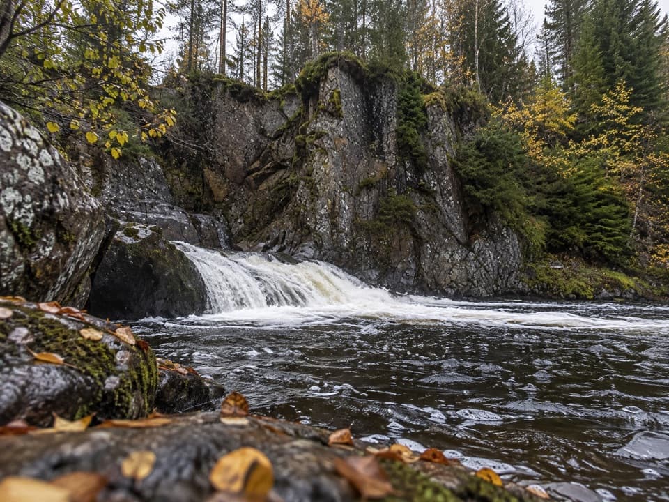 EasyLower Pattack Falls Stroll0.2 km · 15 min · 3.8 km awayA short woodland path to the Pattack’s lower cascade.
 EasyFalls of Pattack Trail4.5 km · 1.5 hr · 4.7 km awayA woodland climb reaches the upper falls in a rocky gorge.
 ChallengingGeal Chàrn from Garva Bridge12.5 km · 5.5 hr · 6.3 km awayA remote Munro with boggy ground and a long, broad summit plateau.
 Sight · 1.7 km awayLaggan WolftraxOver 20 forest miles, from beginner greens to one unforgiving black.
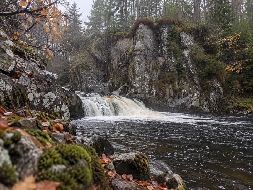 Sight · 3.9 km awayPattack FallsShort woodland walk to cascades in a rocky gorge.
 Sight · 9.8 km awayDalwhinnie DistilleryWhisky tours and tastings at a Highland distillery 355 metres up.
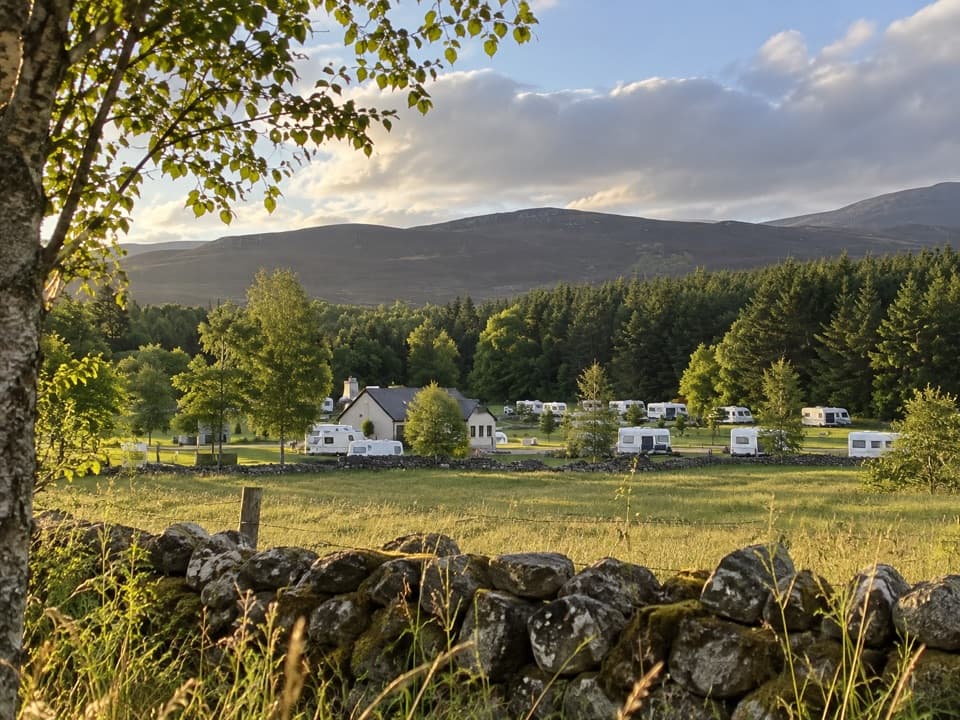 Campground · 10.3 km awayInvernahavon Caravan ParkRoomy pitches, hot showers and wooded Highland views.
 Sight · 13.8 km awayClan Macpherson MuseumClan stories, Jacobite objects and music in a village museum.
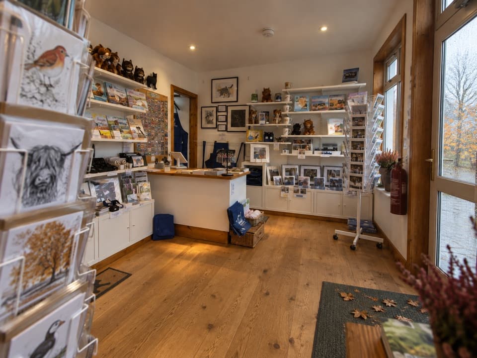 Visitor center · 14.1 km awayThe Wildcat CentrePick up a map and hunt Newtonmore’s 132 painted wildcats.
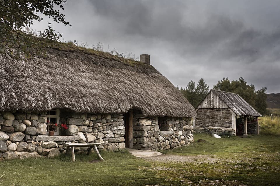 Sight · 15.7 km awayHighland Folk MuseumA reconstructed township and over 35 Highland buildings to explore.
Parkwolf’s Cairngorms ranking

The audio tour guide for the drive, plus offline maps, trails, and wildlife heatmaps for when the signal drops.





