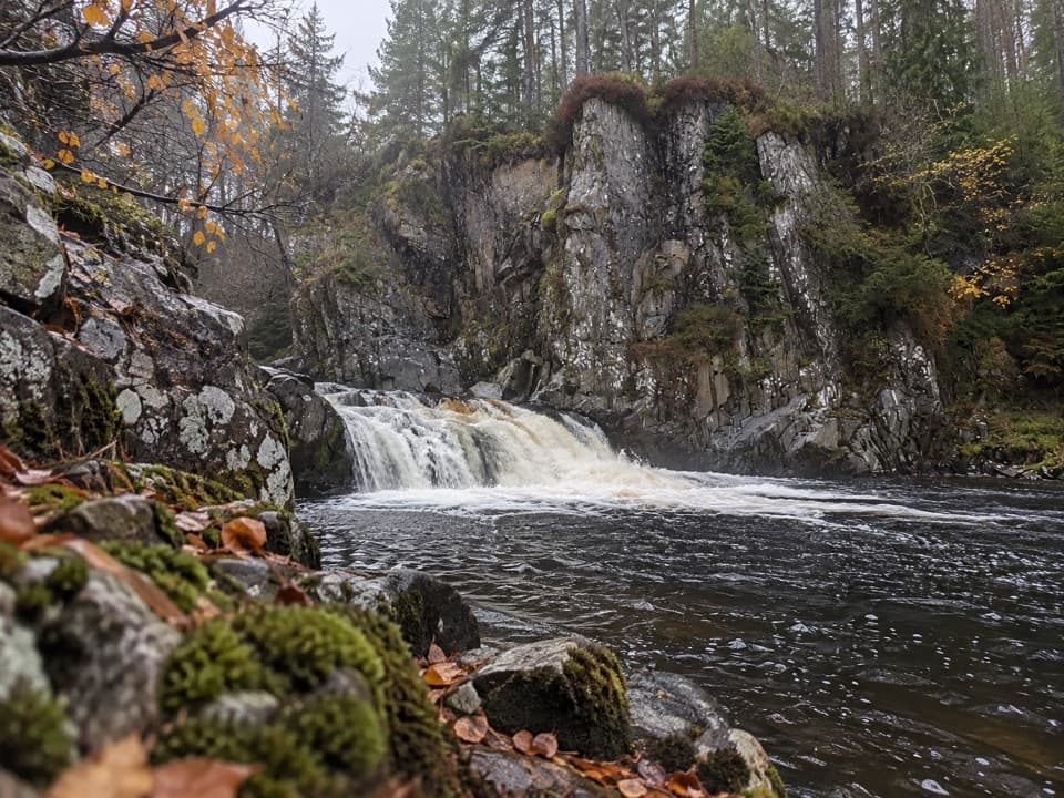
Parking
The route starts on the A86 at Aberarder Lodge. Public parking at either endpoint was not verified; arrange a return for this point-to-point walk.
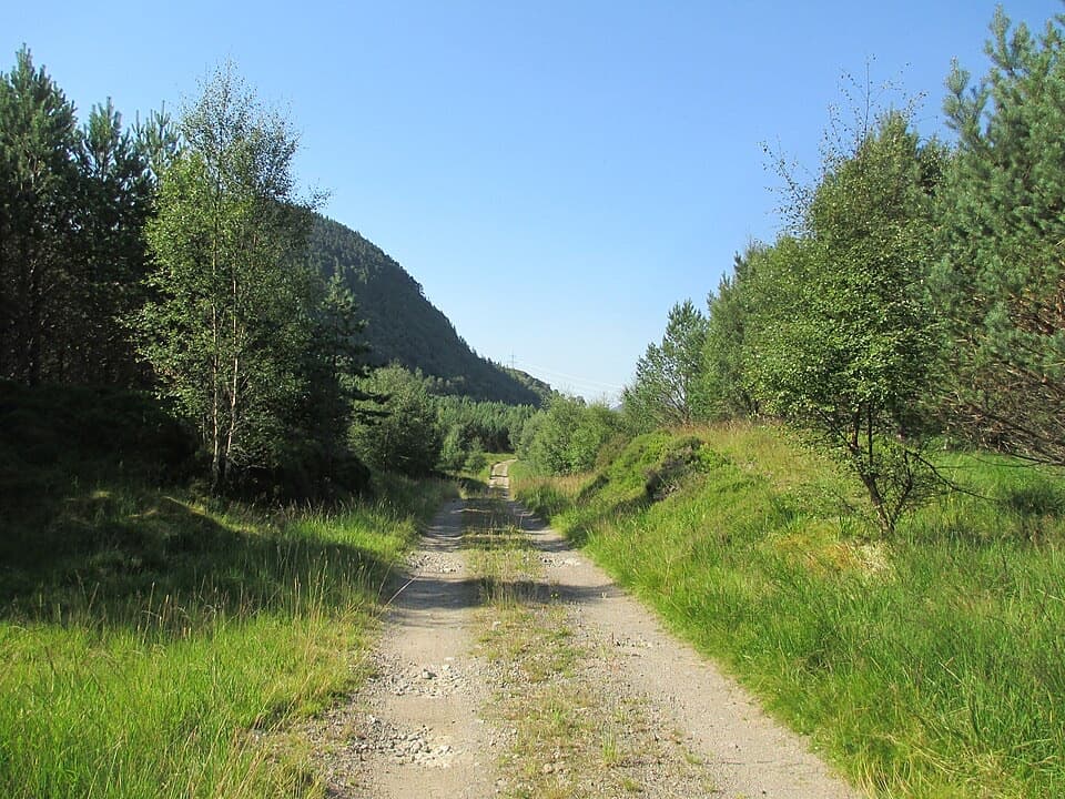
Cairngorms National Park, SC
A rough rural track linking the A86 and the old Corrieyairack route.
Overview
Map & elevation
Plan your hike

The highest, rockiest slopes around here are a summer buffet for grizzly bears.
Cairngorms Tour Guide
Parkwolf is a GPS audio tour guide for Cairngorms National Park. As you drive, it chimes in with what’s ahead: hidden gems, upcoming stops, history, geology, and wildlife, right through your car’s speakers.
See the Cairngorms audio tourRecorded for this area
Water Through the Mountains“Loch Laggan is part of a water system built to power aluminium-making at Fort William. Beyond the loch's western end, a separate reservoir stores water behind Laggan Dam.”
Plays on the road 0.3 km from the trailhead in the Parkwolf Cairngorms Tour Guide.
More stories near here in the app
“Fantastic app with many points of information… It’s great to just turn on while you’re driving and it gives you an audio tour of the national Park. We love it!!!!”


Trail guide
Maria Mahria Way is a 2.8-mile (4.5 km) one-way walk from the A86 at Aberarder Lodge to the Spey aqueduct near Glenshero Lodge, where it joins the old Corrieyairack route. It follows a rough vehicle track for the full distance, so it is not a circuit. Arrange your return before setting out. Allow about four hours for this remote route, which climbs steeply in places.
The route rises through Glen Shirra to about 340 metres, then drops toward the Spey aqueduct. An open stretch looks across the valley toward Carn Dubh. At the northern end, a field gate and a solid stile lead onto the Corrieyairack track.
The route is flagged for a survey, so current access conditions have not been confirmed. No public parking was verified at either endpoint; check access and arrange transport for this point-to-point walk before you go. A gate and stile at the aqueduct end make the route unsuitable for step-free access.
Wildlife
 159 sightingsRed DeerMost seen around 7 AMSighting map
 63 sightingsReindeerMost seen around 6 PMSighting map
 102 sightingsOspreyMost seen around 5 PMSighting map
 37 sightingsBlack GrouseMost seen around 4 AMSighting map
 72 sightingsRed GrouseMost seen around 6 PMSighting map
 82 sightingsPine MartenMost seen around 9 PMSighting map
Sighting maps show where each species has been reported across Cairngorms. Wildlife moves, so no sighting is guaranteed.
Keep exploring
 EasyFalls of Pattack Trail4.5 km · 1.5 hr · 2.3 km awayA woodland climb reaches the upper falls in a rocky gorge.
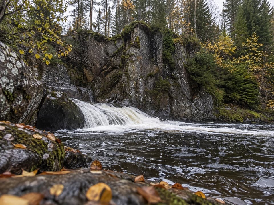 EasyLower Pattack Falls Stroll0.2 km · 15 min · 3.5 km awayA short woodland path to the Pattack’s lower cascade.
 ModerateDruim an Aird Township Trail4.4 km · 1.8 hr · 3.6 km awayFollow yellow markers through woodland to a ruined township.
 ChallengingGeal Chàrn from Garva Bridge12.5 km · 5.5 hr · 5.1 km awayA remote Munro with boggy ground and a long, broad summit plateau.
 ChallengingGlen Markie Track25 km · 8.5 hr · 6.6 km awayLaggan’s old northbound track becomes a rough 25 km crossing.
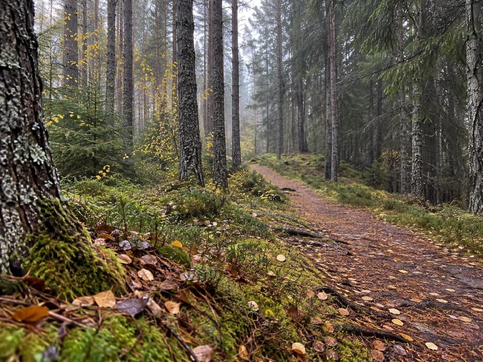 ModerateSpruce and Squirrel Trail, Laggan2.2 km · 45 min · 6.6 km awayFollow red waymarks and look for pine cones nibbled by squirrels.
 ModerateDun da Lamh Fort Trail7.2 km · 3 hr · 6.7 km awayClimb Laggan woodland to an Iron Age fort with wide Highland views.
 ModerateGorstean Trail4.2 km · 1.5 hr · 8.5 km awayA firm gravel forest path shared with mountain bikers
Parkwolf’s Cairngorms ranking

The audio tour guide for the drive, plus offline maps, trails, and wildlife heatmaps for when the signal drops.