Parking
Clash Wood car park at Tomnavoulin (OS grid NJ 208 265); the waymarked loop starts here.
Cairngorms National Park, SC
A two-mile forest loop with farmland and Ladder Hills views.
Overview
Map & elevation
Plan your hike

The highest, rockiest slopes around here are a summer buffet for grizzly bears.
Cairngorms Tour Guide
Parkwolf is a GPS audio tour guide for Cairngorms National Park. As you drive, it chimes in with what’s ahead: hidden gems, upcoming stops, history, geology, and wildlife, right through your car’s speakers.
See the Cairngorms audio tourRecorded for this trailhead
Clash Woods and Càrn Daimh“You're coming up on Clash Woods, the starting point for Càrn Daimh and a shorter woodland loop.”
Plays as you drive up to this trailhead in the Parkwolf Cairngorms Tour Guide.
More stories near here in the app
“Fantastic app with many points of information… It’s great to just turn on while you’re driving and it gives you an audio tour of the national Park. We love it!!!!”


Trail guide
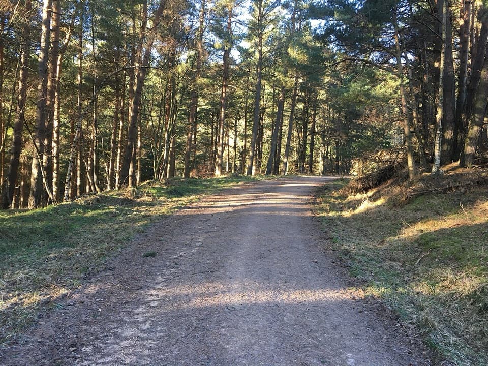
Clash Wood Path is a 2-mile (3.2 km) circular walk from Clash Wood car park at Tomnavoulin. It climbs a forest road, loops around the plantation’s edge, then returns downhill on the access track. Allow about an hour. Choose it for a short woodland walk with an open view toward the Ladder Hills; the separate Carn Daimh Circuit is the longer hill outing.
Follow the red arrows with a tree logo. From the car park, keep uphill past the first right-hand turn and take the second right. Follow the plantation perimeter until you rejoin the track at the junction overlooking Easter Corrie farmhouse; turn left and descend to the car park. The second right is the key turn to get right.
On the climb, look back across farmland toward the Ladder Hills; ravens are often seen overhead. Tree sizes vary through the plantation as the estate fells and replants it. Dogs can come under Scotland’s access rules when kept properly under control; livestock are considered unlikely on this route.
Wildlife
 159 sightingsRed DeerMost seen around 7 AMSighting map
 63 sightingsReindeerMost seen around 6 PMSighting map
 102 sightingsOspreyMost seen around 5 PMSighting map
 37 sightingsBlack GrouseMost seen around 4 AMSighting map
 72 sightingsRed GrouseMost seen around 6 PMSighting map
 82 sightingsPine MartenMost seen around 9 PMSighting map
Sighting maps show where each species has been reported across Cairngorms. Wildlife moves, so no sighting is guaranteed.
Keep exploring
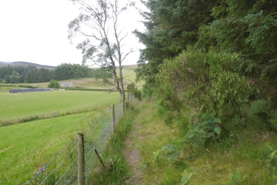 ModerateCarn Daimh Circuit from Clash Woods10 km · 3.5 hr · At the trailheadA 10 km loop climbs past farms to a broad summit.
 ModerateBochel Circuit10 km · 3.5 hr · 1.2 km awayFollow river crossings and old tracks across open Glenlivet moorland.
 ModerateThe Livet Path9.7 km · 3.5 hr · 3.2 km awayA six-mile loop of river, heather moor and Highland farm tracks.
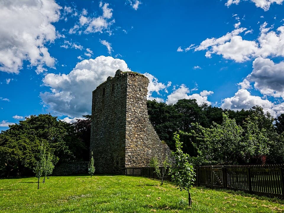 EasyDrumin Community Circuit4 km · 1.5 hr · 3.7 km awayA riverside loop leads to Drumin Castle and its walled garden.
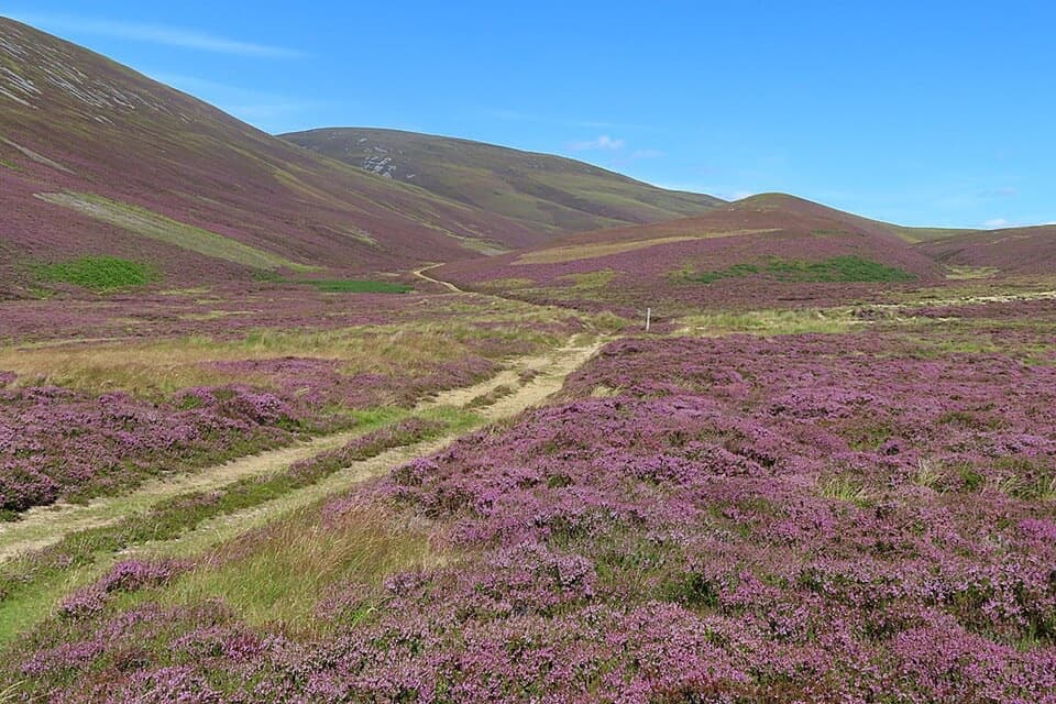 ChallengingGlenfiddich Road23.1 km · 9 hr · 5.8 km awayA full-day moorland crossing past a cairn raised for Queen Victoria.
 ChallengingThe Steplar17 km · 6.5 hr · 6.1 km awayA lonely old drove road across heather, burns and hill country.
 ModerateMalcolm Gillespie Smugglers Trail11.6 km · 4 hr · 6.5 km awayA remote Glenlivet loop through smuggling-country moorland
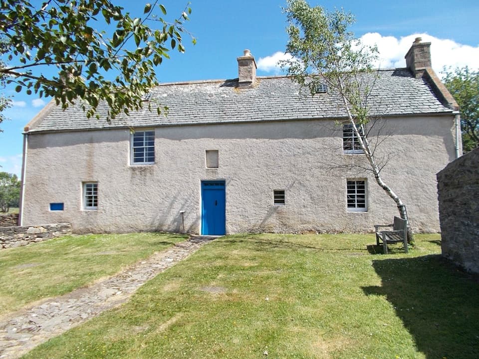 EasyScalan Heritage Trail4.5 km · 1.5 hr · 7.2 km awayA 2.8-mile loop through seminary history and hill country
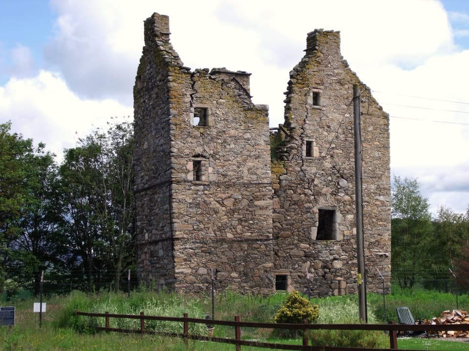 Sight · 2.3 km awayBlairfindy CastleA short detour to see a 16th-century tower house up close.
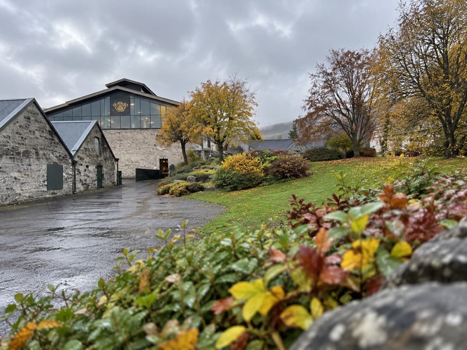 Sight · 2.7 km awayThe Glenlivet DistillerySee Speyside whisky being made, then taste it.Sight · 4.5 km awayDrumin CastleA small tower ruin perched above the Livet and Avon.
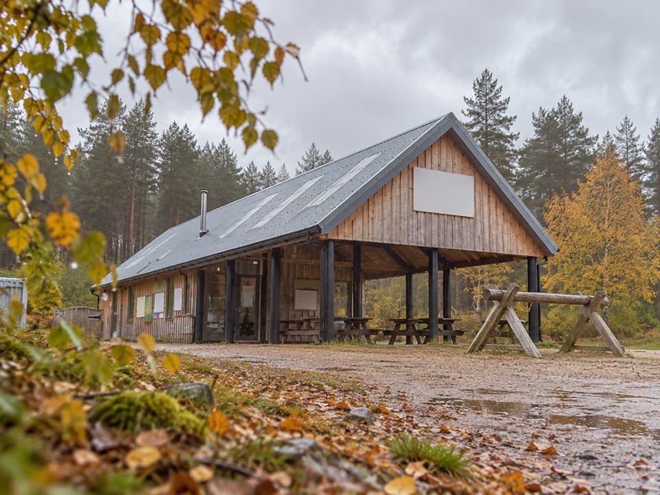 Sight · 6.3 km awayBike GlenlivetFlowing mountain-bike trails, café and zip wire reward a longer stop.
 Sight · 8 km awayScalan SeminaryA hidden Catholic seminary reached by a rough Glenlivet farm track.
 Visitor center · 8.7 km awayTomintoul & Glenlivet Discovery Centre & MuseumA village museum with local stories and a virtual dark-sky trip.
 Store · 8.7 km awayThe Whisky CastleMore than 600 malts in a shop dating to 1904.
 Sight · 8.9 km awayStill ViewpointStep into a mirrored frame above the River Avon.
Parkwolf’s Cairngorms ranking

The audio tour guide for the drive, plus offline maps, trails, and wildlife heatmaps for when the signal drops.





