1 active Cape Cod alert
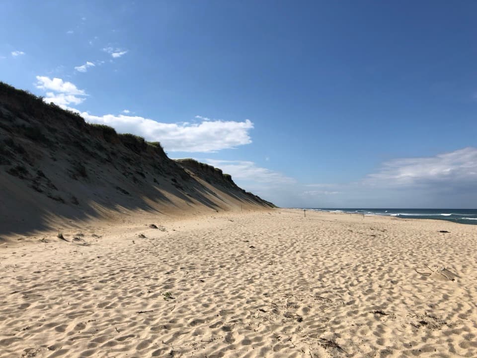
- CautionSharks active in park waters through OctoberSharks are active in park waters through October; heed beach guidelines and signage before entering the water.Official details
Sight · Cape Cod National Seashore
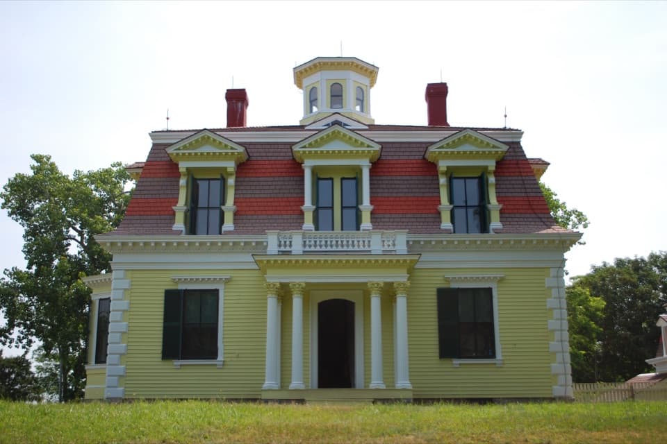
A whaling captain built this house to watch ships from the cupola.
Overview
Map
Plan your stop

The highest, rockiest slopes around here are a summer buffet for grizzly bears.
Cape Cod Tour Guide
Parkwolf is a GPS audio tour guide for Cape Cod National Seashore. As you drive, it chimes in with what’s ahead: hidden gems, upcoming stops, history, geology, and wildlife, right through your car’s speakers.
Recorded for this place
Fort Hill and Captain Penniman House“Fort Hill is coming up, with open fields above Nauset Marsh and a view toward the ocean. For a quick look, use the upper clearing; you don't have to walk the full loop to enjoy the marsh.”
Plays as you drive up to Captain Penniman House in the Parkwolf Cape Cod Tour Guide.
More stories near here in the app
“Fantastic app with many points of information… It’s great to just turn on while you’re driving and it gives you an audio tour of the national Park. We love it!!!!”


Guide
The Penniman House is a two-and-a-half-story French Second Empire home at Fort Hill in Eastham, built in 1868 for Captain Edward Penniman and his wife. Its yellow clapboards, red mansard roof, ornate dormers and cupola tell you what to look for before you reach the door. Plan on seeing the exterior: the house is not open for ordinary walk-in visits, though scheduled ranger programs sometimes include the interior. Check the park program schedule before planning around a tour. Turn from Route 6 at the Fort Hill sign onto Governor Prence Road; parking is across from the house. For a photo, keep the cupola and the three roof dormers above the front porch in frame.
The house stands on a raised site. The Pennimans built up the basement and brought in about eight feet of fill, improving drainage and lifting the cupola windows high enough for Edward Penniman to watch ships in Cape Cod Bay and the Atlantic. Look up from the broad mansard roof: the cupola is the feature that turns this large family home into a house with a view of the working sea.
Penniman captained the whaling ship Minerva on a voyage around the world from 1864 to 1868, just before the house was built. A mansard-roofed barn followed in 1880. When ranger programs open the interior, look for details that were advanced for Eastham at the time: a cistern-fed kitchen water system and an indoor bathroom, including what NPS identifies as the town's first flush toilet.
The one-mile Fort Hill loop crosses open fields, connects to Red Maple Swamp Trail and opens onto views of Nauset Marsh. It is rated easy, with a solid surface, some log steps on slopes and about 40 feet of elevation change; allow roughly 30 to 45 minutes. The hill's name remains uncertain: it was the high ground beside a Nauset meetinghouse established after English settlers arrived in 1644, but the idea that it served as a fort is only a possibility. The trail's restroom is at Hemenway Landing, not by the house.
Older pictures show whale jawbones forming an arch at the entrance. The best-known gate, made from finback-whale jawbones and installed in 1969, was removed in 2018 for safety; the bones are now held at Pilgrim Monument and Provincetown Museum. It is a striking part of the property's story, but it is no longer at the house.
Wildlife
 459 sightingsGray SealMost seen around 11 AMSighting map
 84 sightingsCoyoteMost seen around 6 AMSighting map
 297 sightingsRed FoxMost seen around 7 PMSighting map
 49 sightingsWhite-tailed DeerMost seen around 6 AMSighting map
 263 sightingsHorseshoe CrabMost seen around 8 PMSighting map
 73 sightingsGreat Blue HeronMost seen around 6 PMSighting map
Sighting maps show where each species has been reported across Cape Cod. Wildlife moves, so no sighting is guaranteed.
Keep exploring
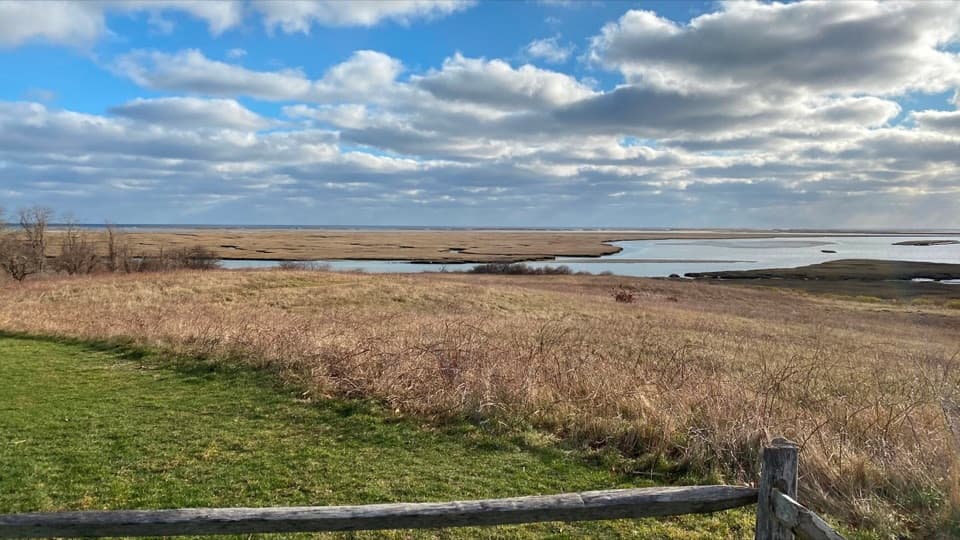 EasyFort Hill Trail1 mi · 45 min · 0.1 mi awayA short field loop with marsh views and a 20-ton story.
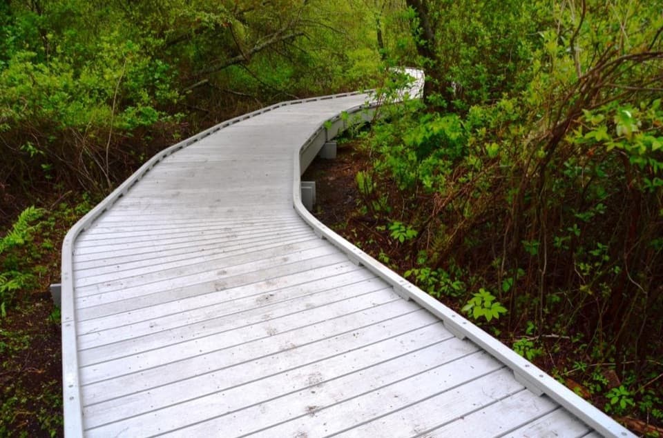 EasyRed Maple Swamp Trail0.8 mi · 30 min · 0.3 mi awayA short boardwalk beneath red maples, brightest in fall.
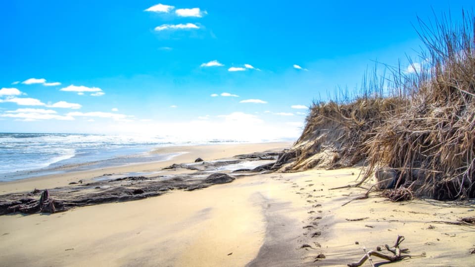 EasyCoast Guard Beach Trail4 mi · 2.2 hr · 1.4 mi awaySalt marsh footpath to a wide Cape Cod beach.
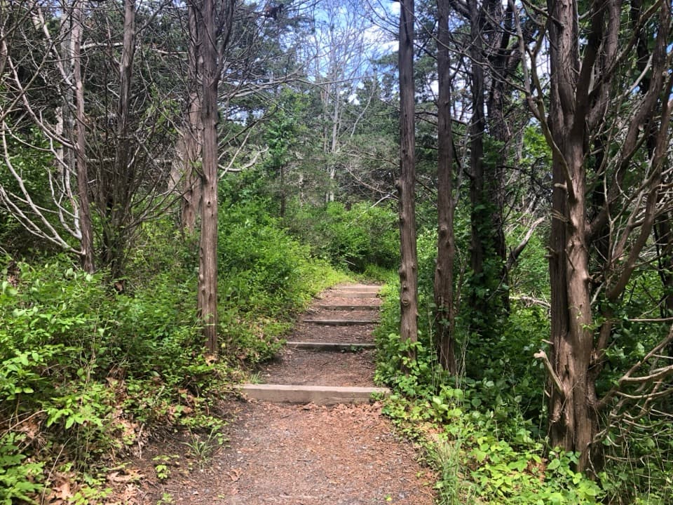 EasyNauset Marsh Trail1.3 mi · 1 hr · 1.4 mi awaySalt Pond, tidal marsh and a short loop through recovering forest
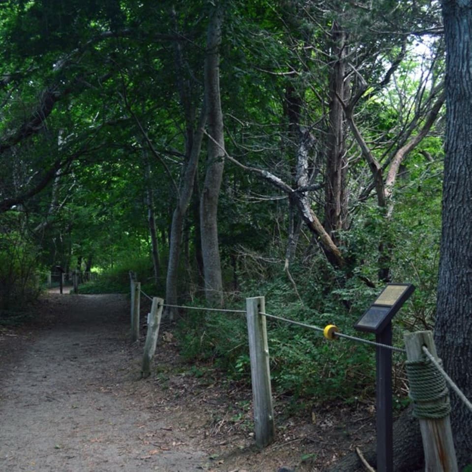 EasyButtonbush Trail0.3 mi · 15 min · 1.4 mi awayBraille, guide ropes and a pond bridge pack into 0.3 miles.
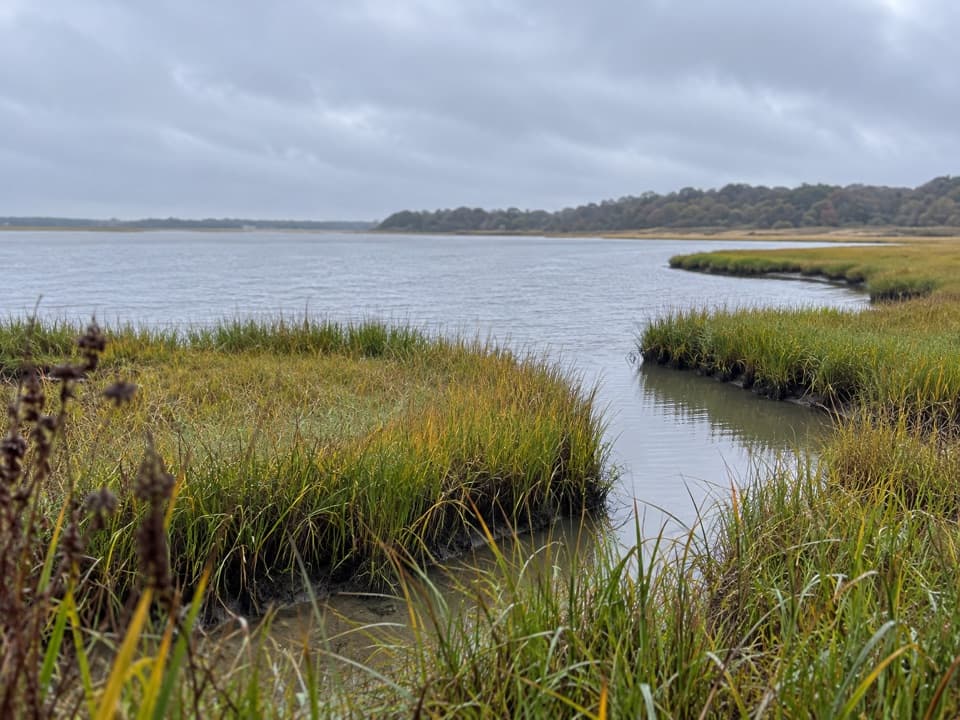 EasyNauset Bike Trail2 mi · 1.3 hr · 1.4 mi awayA rolling paved path through woods to Coast Guard Beach.
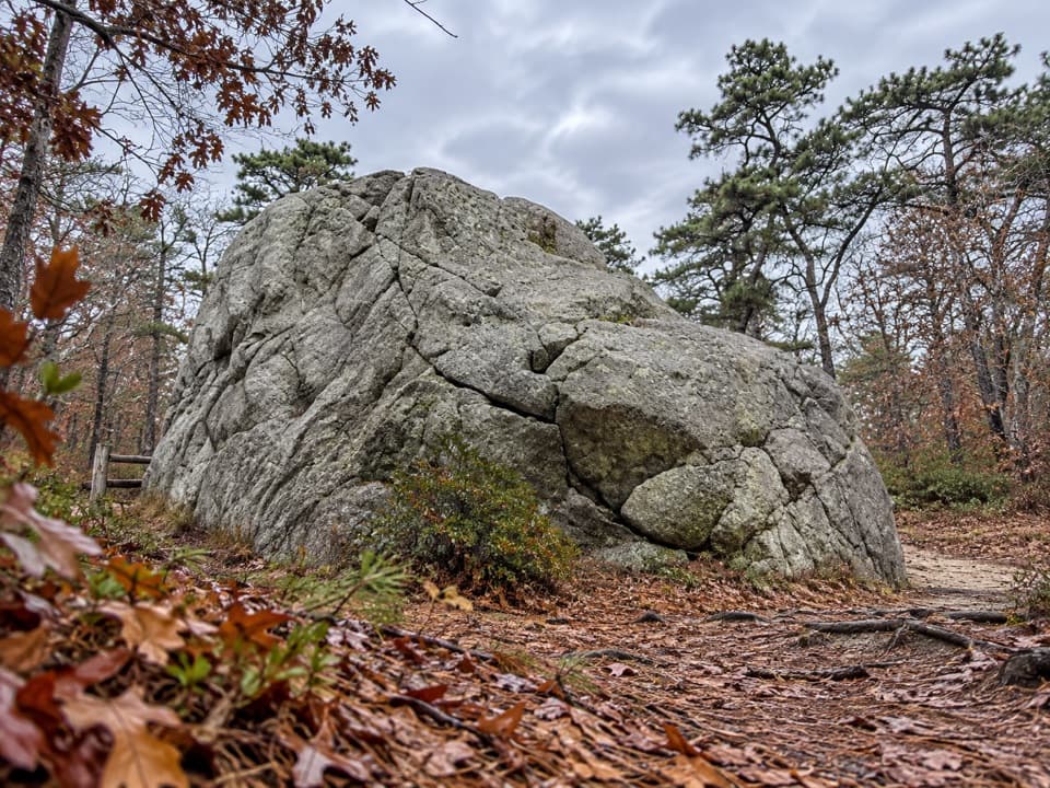 EasyDoane Trail0.6 mi · 30 min · 1.8 mi awayA short paved loop past a glacial boulder at the start.
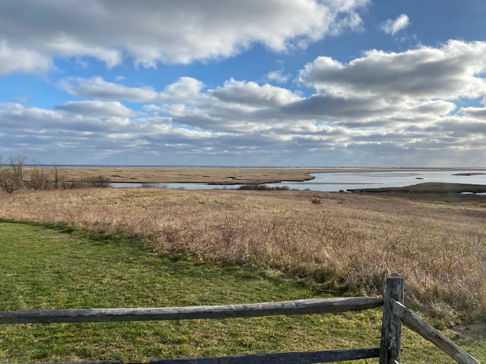 Sight · 0.2 mi awayFort HillA short loop across open fields to wide Nauset Marsh views.
 Sight · 0.3 mi awaySkiff Hill OverlookA 20-ton sharpening stone above the marsh it once stood in.
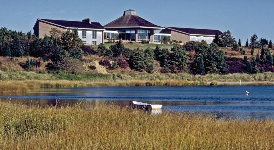 Visitor center · 1.4 mi awaySalt Pond Visitor CenterRanger help, local history, and a view over Salt Pond.
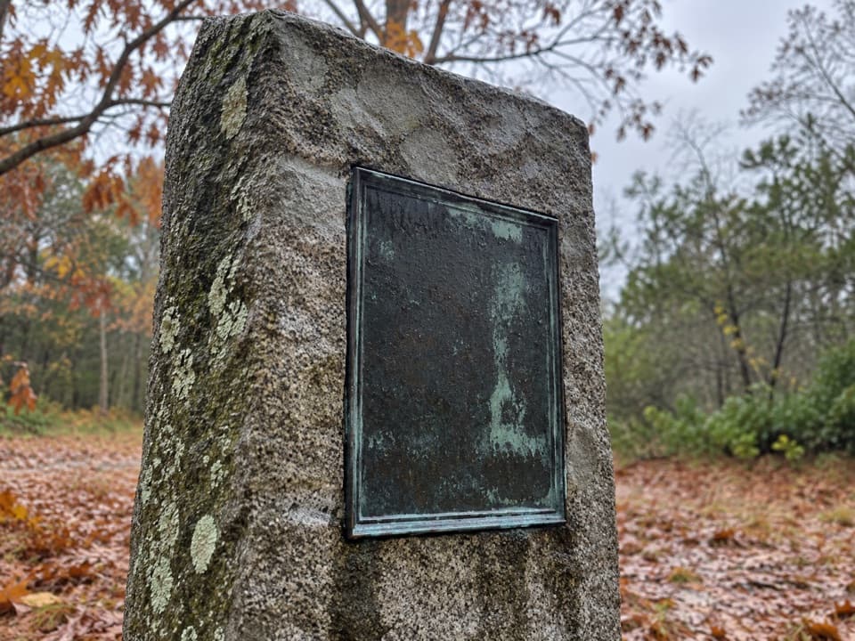 Sight · 1.7 mi awayDoane Homestead SiteA vanished 17th-century home left unusually vivid archaeological clues.
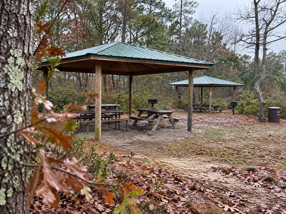 Picnic area · 1.8 mi awayDoane Rock Picnic AreaA covered picnic stop with an easy forest loop next door.
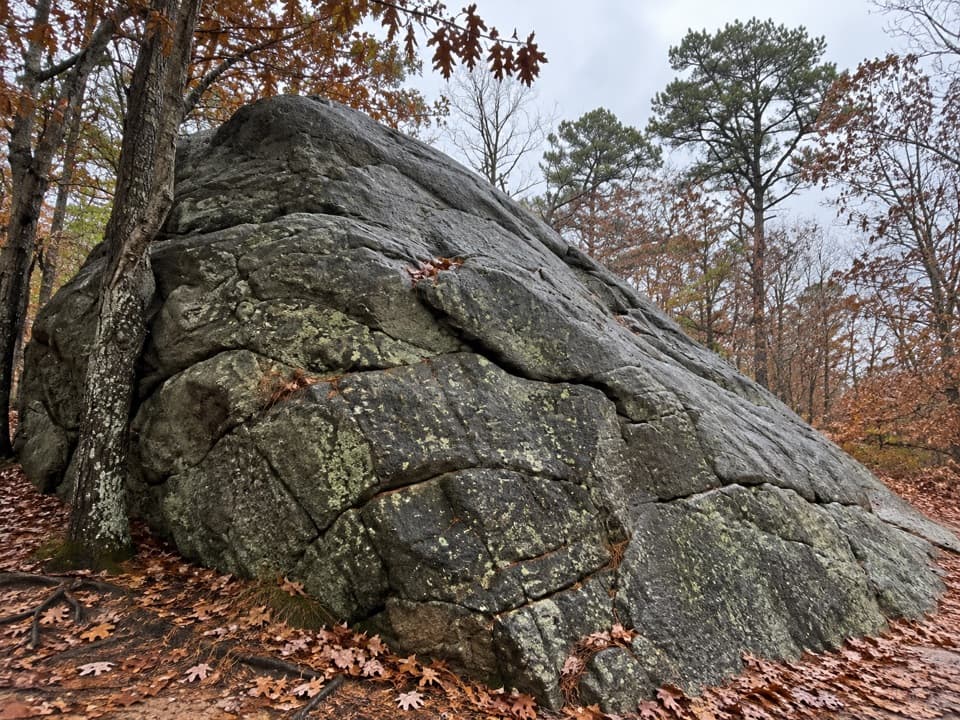 Sight · 1.8 mi awayDoane RockA giant ice-age erratic with an accessible woodland loop nearby.
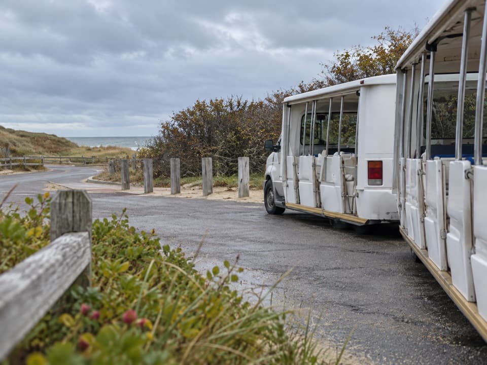 Entrance station · 2 mi awayLittle Creek Beach Shuttle and Fee StationSettle fees and catch the Coast Guard Beach shuttle here.
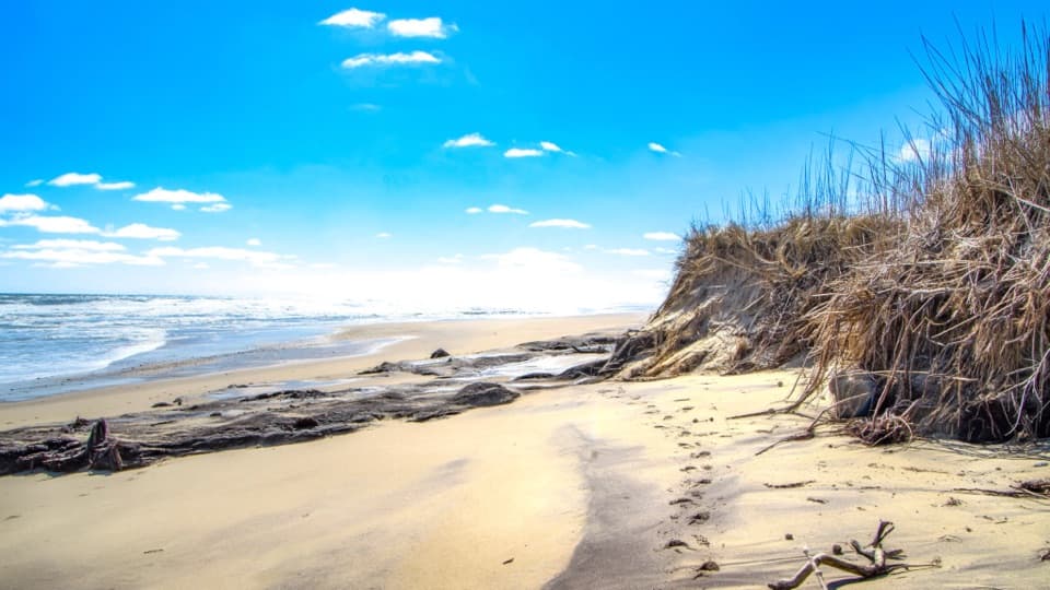 Beach · 2.1 mi awayCoast Guard BeachOpen Atlantic sand, where the Great Beach begins.
Parkwolf’s Cape Cod ranking

The audio tour guide for the drive, plus offline maps, trails, and wildlife heatmaps for when the signal drops.