Pilgrim Heights in Cape Cod National Seashore

Picnic area · Cape Cod National Seashore

Pilgrim Heights

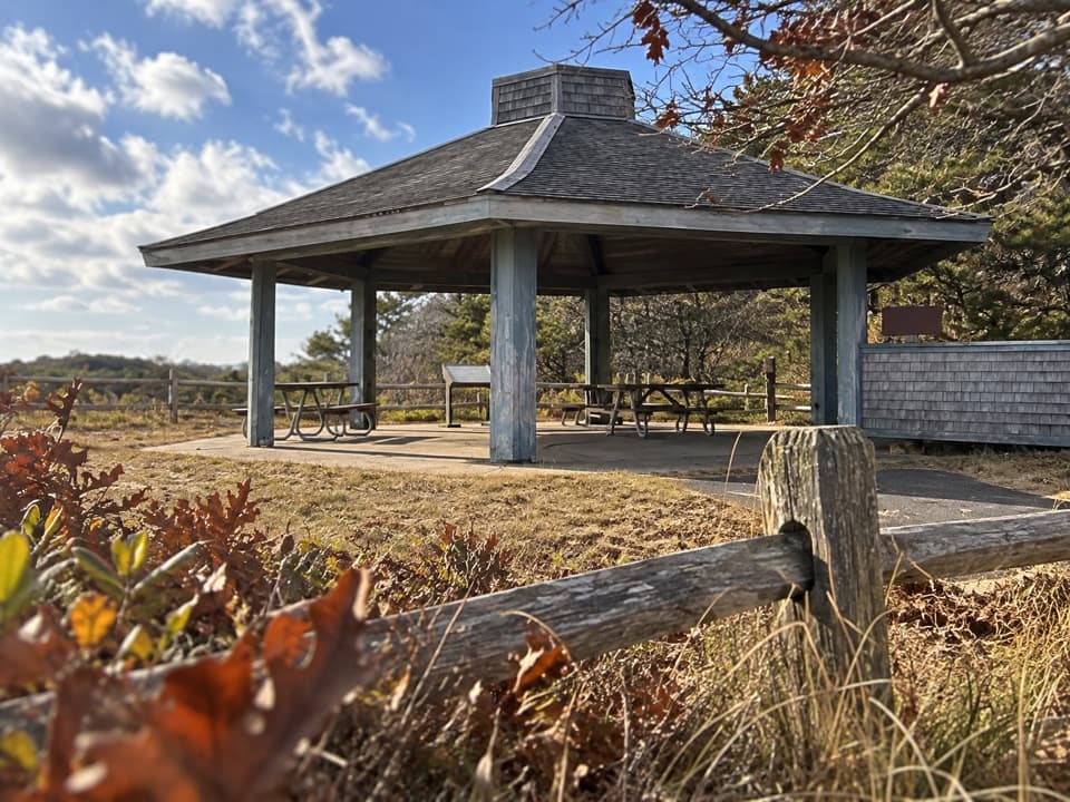
A covered picnic stop with a short, history-lined walk.

Type
Picnic area
Nearest trail
Right here
Audio stories
5 nearby
  • Trailhead
  • Parking
  • Picnic tables
  • Exhibit

Hear the audio tour

Pilgrim Heights and Pilgrim Spring

Overview

About Pilgrim Heights

Why stop

  • Shelter, picnic tables, and two short walks in one stop.

Heads up

  • The short loop has log steps and a moderate grade.

Map

Where it is

Loading the Cape Cod map
Full map
Picnic areaPilgrim Heights42.05534, -70.10683
Keep this map with you offline in the Parkwolf app

Plan your stop

Before you go

Getting there and what is here

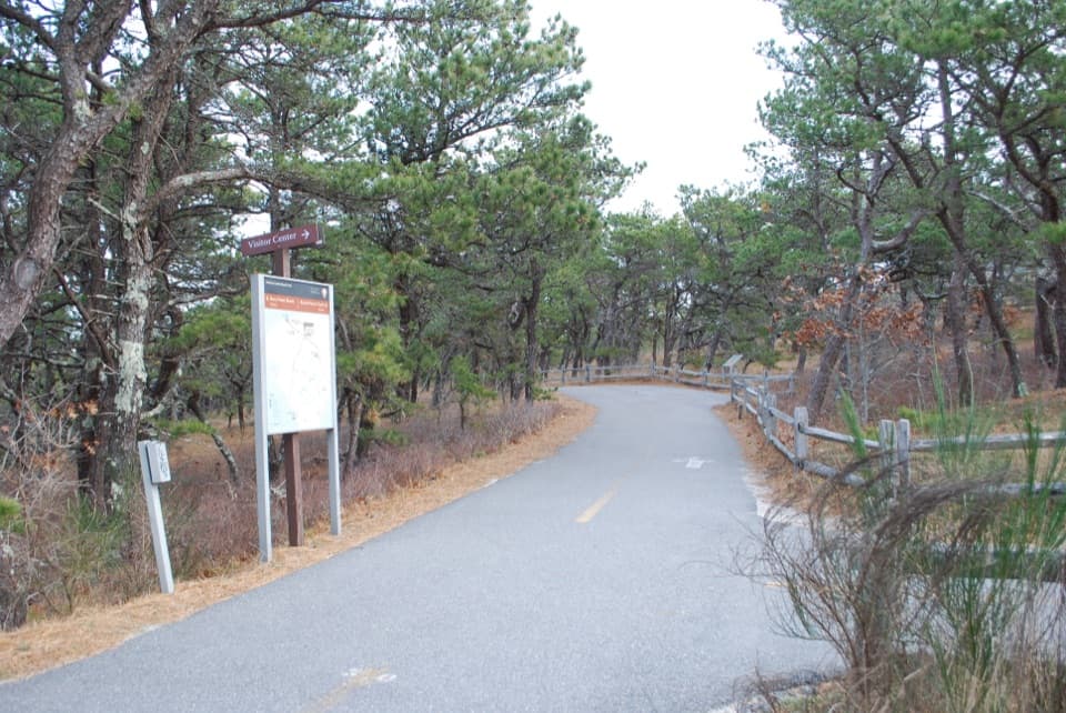
From Route 6, turn at the Pilgrim Heights sign, about 1.2 miles beyond the Head of the Meadow Beach sign, then follow Pilgrim Heights Road to the parking loop. The restrooms are seasonal vault or composting toilets, so do not count on them outside their operating season.


1 active Cape Cod alert

  • CautionSharks active in park waters through OctoberSharks are active in park waters through October; heed beach guidelines and signage before entering the water.Official details
Cape Cod alerts
A park ranger sits on a dash-mounted phone, talking, as Parkwolf’s Tour Guide plays “Army Cutworm Moths: A Grizzly Bear Buffet” on Grand Loop Road below Dunraven Pass in Yellowstone
Parkwolf Tour GuideThe highest, rockiest slopes around here are a summer buffet for grizzly bears.

Cape Cod Tour Guide

Your drive to Pilgrim Heights, narrated.

Parkwolf is a GPS audio tour guide for Cape Cod National Seashore. As you drive, it chimes in with what’s ahead: hidden gems, upcoming stops, history, geology, and wildlife, right through your car’s speakers.

Recorded for this place

Pilgrim Heights and Pilgrim Spring
0:00 / 0:31
“Coming up is Pilgrim Heights, where a covered shelter makes a useful picnic stop away from the beach sand. Bring your own lunch; there's no food service here.”

Plays as you drive up to Pilgrim Heights in the Parkwolf Cape Cod Tour Guide.

More stories near here in the app

  • High Head Road and the Beach Bike Trail
  • Glass That Sent a Signal
  • A Fishing Net Made of Bubbles
  • Head of the Meadow Beach
  • 56 audio storiesacross Cape Cod’s roads, triggered by GPS as you drive
  • Wildlife heatmapsfor Gray Seal, Coyote, Red Fox, and 13 more
  • Works offlinemaps, 32 trails, 55 places, and audio download before you lose signal
  • CarPlay readysimple controls built for the drive
★★★★★
“Fantastic app with many points of information… It’s great to just turn on while you’re driving and it gives you an audio tour of the national Park. We love it!!!!”
JMJamesApp Store review
Download Parkwolf on the App StoreGet Parkwolf on Google Play

4.7 from 8,600+ ratings

Guide

More about Pilgrim Heights

A picnic stop with a short walkPilgrim Heights is a roadside picnic and interpretation stop on Pilgrim Heights Road in North…

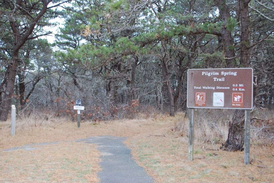
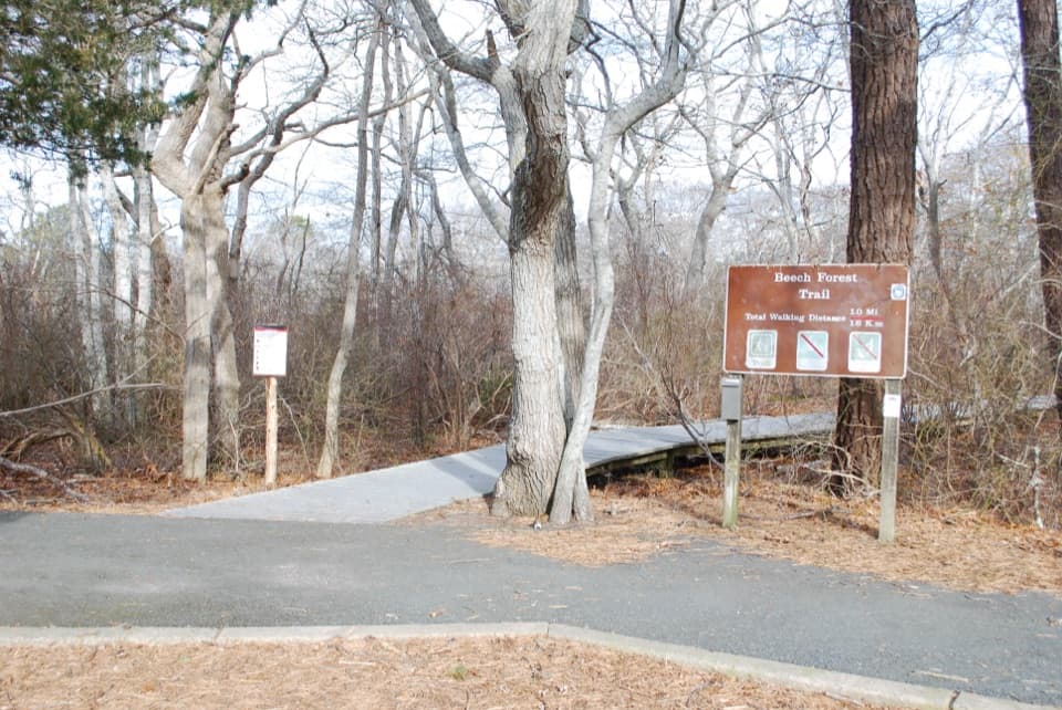
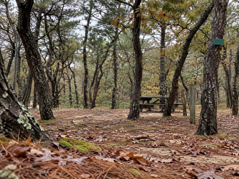
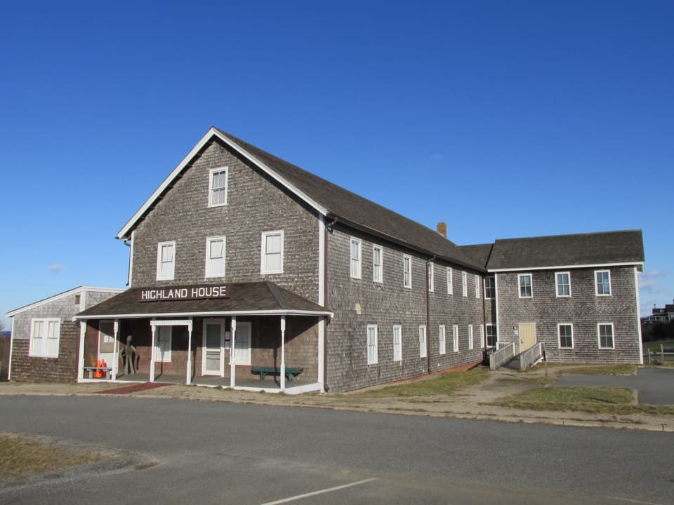
Pilgrim Heights is a roadside picnic and interpretation stop on Pilgrim Heights Road in North Truro. The covered shelter and tables sit at the Pilgrim Spring trailhead, so you can eat under cover or take the easy 0.7-mile loop, about 30 minutes. Bring a picnic; there is no food service at the stop.

Through recovering pine and oakThe Pilgrim Spring loop winds through recovering pine and oak woods, passing a commemorative…

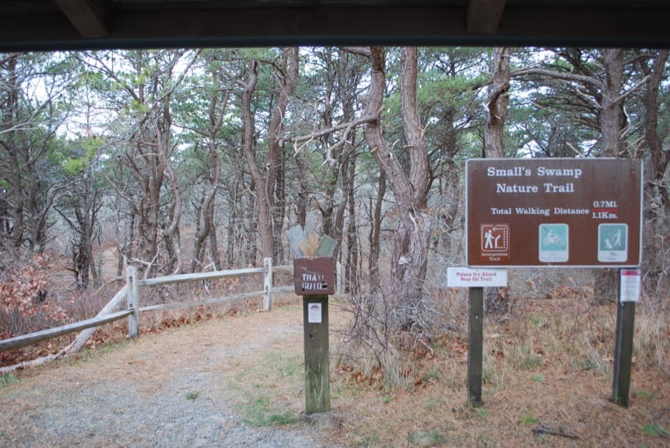
The Pilgrim Spring loop winds through recovering pine and oak woods, passing a commemorative marker and the spring site before returning near the seasonal restrooms. It is easy overall, but log steps and a moderate grade make it less than a smooth paved stroll. Leashed dogs are allowed. The nearby Small's Swamp trailhead gives you another short walk from the same parking area.

The spring storyThe spring site represents where the Pilgrims drank their first fresh water in New England…

The spring site represents where the Pilgrims drank their first fresh water in New England during their first exploration of Cape Cod; it is not a confirmed original spring location. By 1972, the shelter was already an interpretive stop, with a relief map and exhibits about Pilgrim and Indigenous histories. The present condition of those displays is unclear.

Wildlife

Wildlife in Cape Cod

All Cape Cod wildlife maps

Sighting maps show where each species has been reported across Cape Cod. Wildlife moves, so no sighting is guaranteed.

Keep exploring

Near Pilgrim Heights

See it all on the map

Trails nearby

More stops nearby

Parkwolf’s Cape Cod ranking

Top sights in Cape Cod

All 55 places
  1. 1Nauset LightSight
  2. 2Coast Guard BeachBeach
  3. 3Race Point BeachBeach
  4. 4Herring Cove BeachBeach
  5. 5Highland LightSight
  6. 6Marconi BeachBeach

Take Parkwolf to Cape Cod.

The audio tour guide for the drive, plus offline maps, trails, and wildlife heatmaps for when the signal drops.

4.7 from 8,600+ ratings

Download Parkwolf on the App StoreGet Parkwolf on Google Play