Pros & cons
PROS
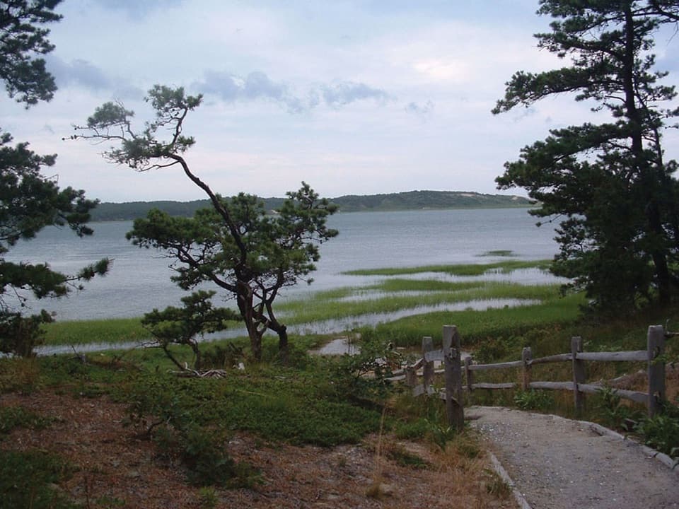
- Unexpected bluff overlook toward dunes and ocean for minimal effort
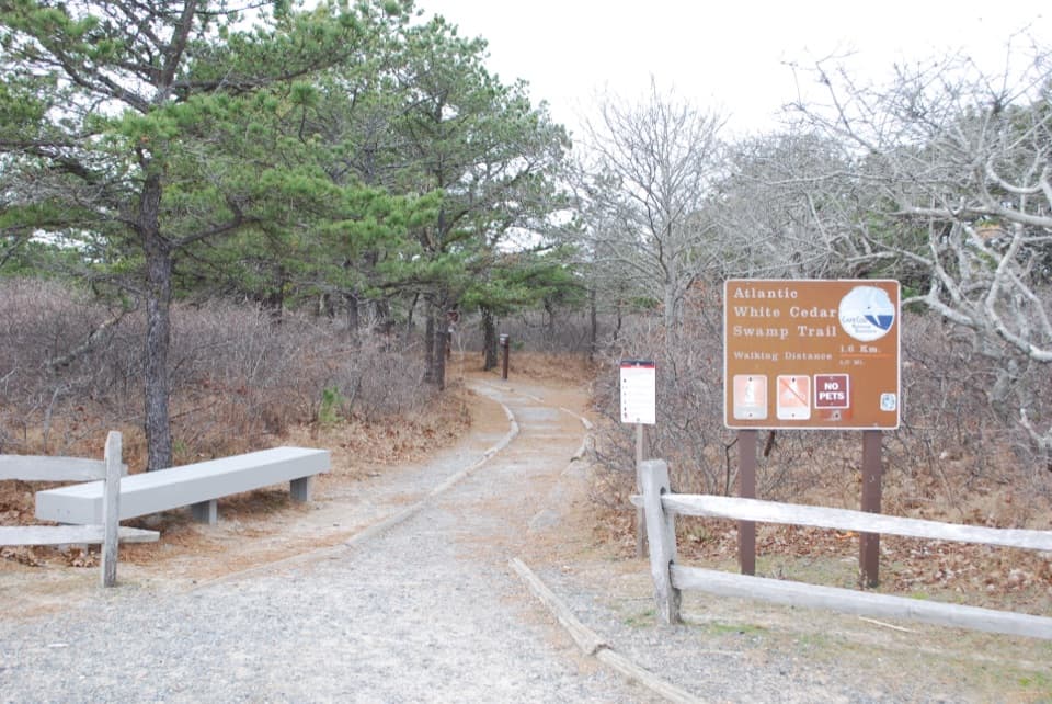
- Trailhead amenities—seasonal restrooms and picnic area—right by the loop
- Leashed-dog friendly in a unit where many trails restrict pets
CONS
- Historic spring is a marker more than a flowing water feature
- Biting insects can be fierce in warm months, especially in low spots
- Wayfinding can be confusing between the west and east lots
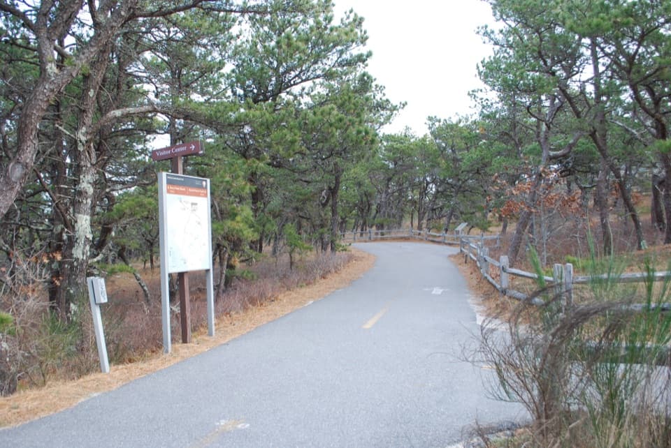
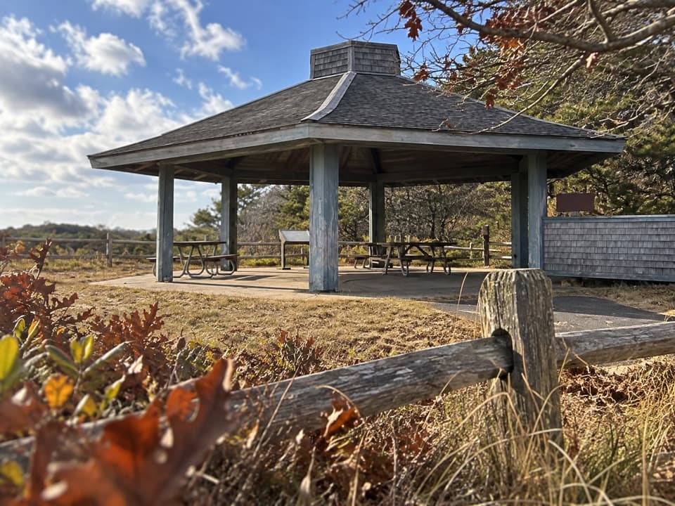
Pilgrim Heights area in Truro: from US‑6, turn at the Pilgrim Heights sign (about 1.2 miles past the Head of the Meadow Beach sign). Park in the west lot by the covered shelter; the loop finishes near the east lot with seasonal restrooms and picnic tables.
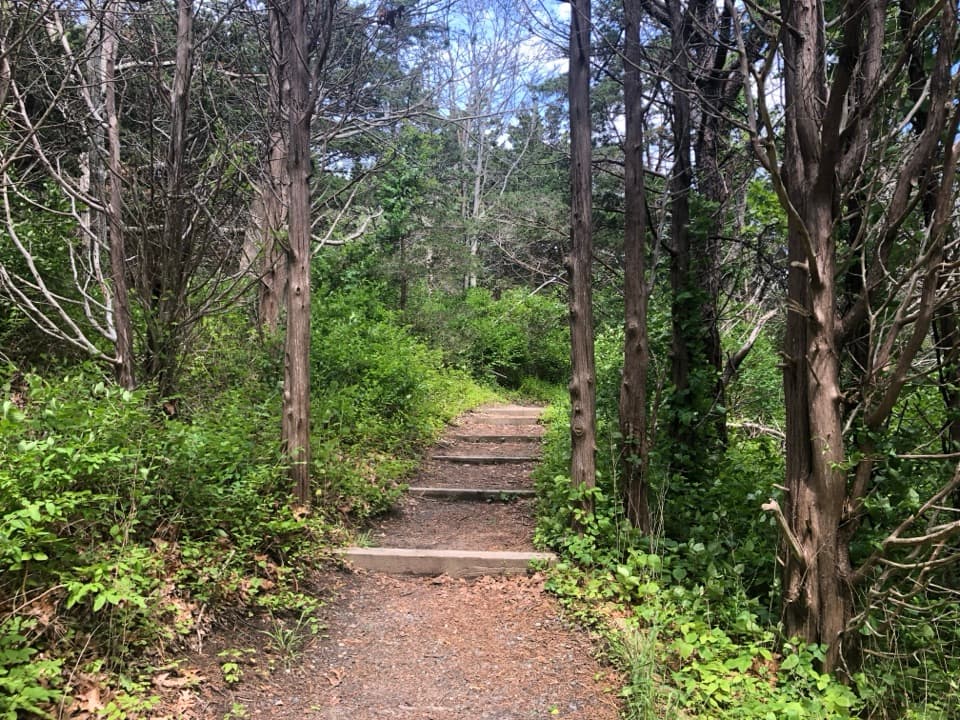
Heavy mosquitoes and deer flies in warm months; poison ivy and ticks along edges; short descents with log steps; faded signage near the two parking lots can cause confusion.
Overview
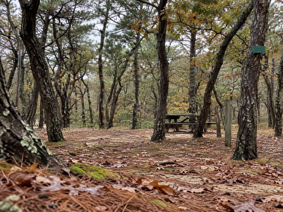
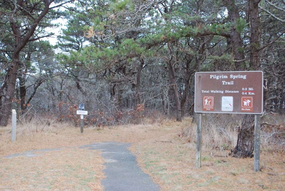
A quick, easy loop (about 0.7–0.8 miles total, 30 minutes) through a recovering pine–oak forest to a bluff overlook and a granite marker for the historic “Pilgrim Spring.” It’s a pleasant leg-stretcher with some log steps and short grades—more of a quiet nature walk with a dash of history than a big-view coastal hike.
Route Highlights
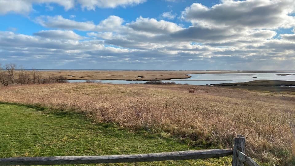
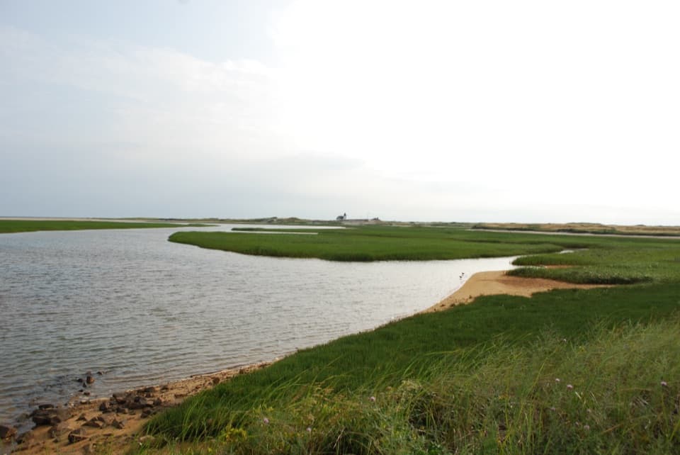
Start at the covered shelter in the west parking lot at Pilgrim Heights. The loop heads through shady woods to a small bluff with views toward a creek flowing from Pilgrim Lake, with dunes and the ocean in the distance. From there, descend to the stone memorial marking the spring site, then climb gradually back toward the parking area, popping out by the east lot before crossing the open field to return to the west lot.
What You’ll See (and What You Won’t)
Expect forest, a brief overlook, and a historical marker. The “spring” is commemorative; don’t count on seeing water actively bubbling—many visitors report little or no flow. Views are short but nice for the effort.
Practicalities
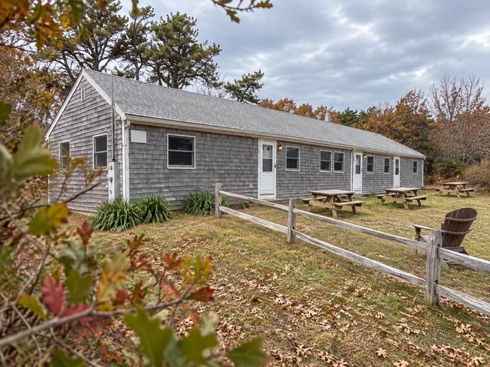
Two large parking lots, a picnic area, and seasonal restrooms sit right at Pilgrim Heights—handy for families and road-trippers. Leashed pets are permitted on this trail. Trail surfaces are generally smooth, but there are short slopes with log steps and a few spots where signage can feel faded or minimal, especially around the two lots.
Conditions and Tips
Biting insects (mosquitoes and deer flies) can be intense in warmer months, especially near the low areas—bring repellent, wear long pants, and do a tick check after. Poison ivy is present along the edges. If you finish at the east lot, follow signs across the center field to get back to the west lot where you started.
Make It Longer
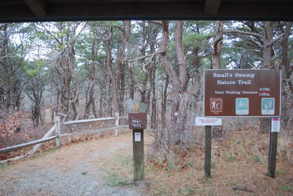
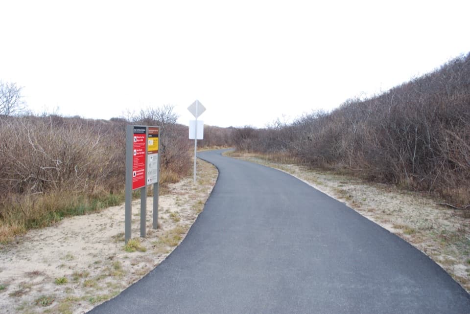
If you want more, pair this loop with the adjacent Small’s Swamp Trail for roughly 1.3 miles total, or add a spin on the nearby paved multi-use path for extra mileage.
Best Time to Hike
Open year-round. Spring and fall bring fewer bugs and comfortable temps; summer is popular but can be buggy. Early or late in the day offers softer light and quieter parking lots.
Elevation
0.8 mi · 30 minWhere it starts
42.0555, -70.1065Wildlife on this trail
Near Pilgrim Spring Trail
All places →All trails →
0 mi awaySmall's Swamp TrailShort kettle-hole loop with dune views and a quiet boardwalkEasy · 0.6 mi · 30 min
0.2 mi awayPilgrim SpringShort forest loop to a 1620 fresh-water marker and meadow viewsParking · Restroom
0.3 mi awayPilgrim Heights Picnic AreaShady picnic loop with trailheads to Pilgrim Spring and Small’s SwampTrailhead · Restroom
0.5 mi awayHigh HeadSecluded dune-backed beach with birds, seals, and soft-sand walksParking · Scenic Viewpoint
0.7 mi awayPilgrim Lake (East Harbor)Restored tidal lagoon viewed from Pilgrim Heights picnic areaParking · Picnic Table
3 mi awayDune Shacks TrailSoft‑sand romp to ocean vistas and glimpses of historic dune shacksModerate · 1.9 mi · 1 hr
4 mi awayRailroad Dike - Corn Hill to Pamet HarborFlat marsh walk on an old railbed with big Pamet Harbor views.Easy · 1.1 mi · 20 min
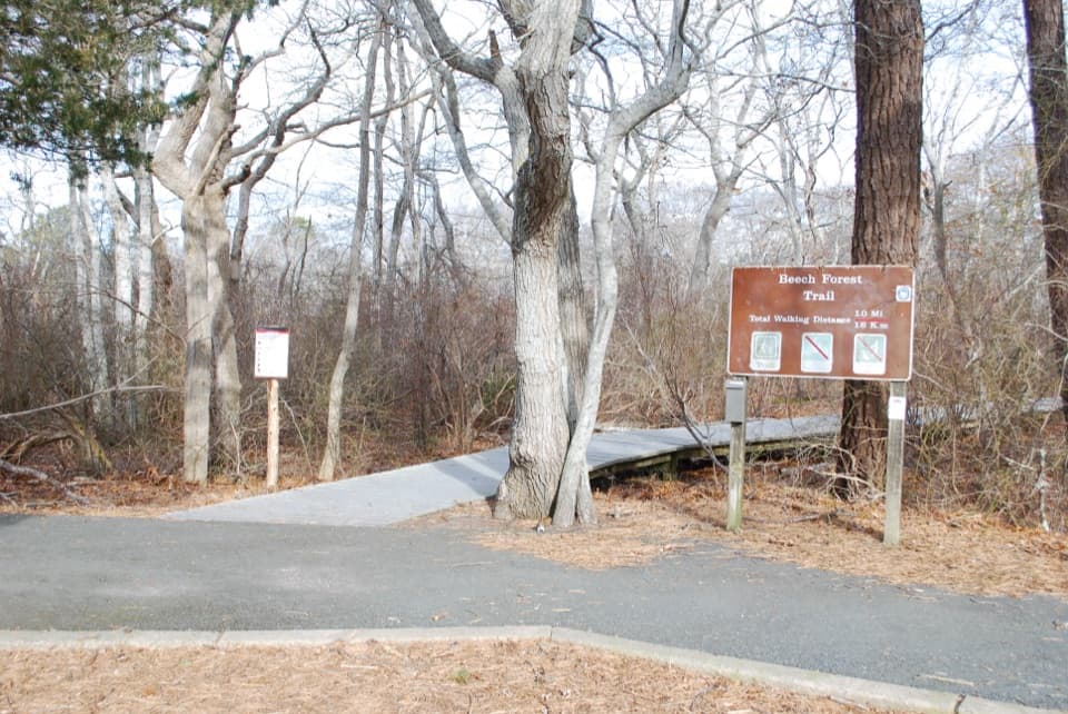
4.3 mi awayBeech Forest TrailShady kettle pond loop with rare beech forest and big birdingEasy · 1 mi · 1 hr