Parking
From Route 6, turn right at the Pilgrim Heights area sign about 1.2 miles past the Head of the Meadow Beach sign. Park at Pilgrim Heights; the trail starts behind the covered shelter.
Cape Cod National Seashore, MA
A quick loop with a boardwalk, wetland, and bluff views.
Overview
Map & elevation
Plan your hike

The highest, rockiest slopes around here are a summer buffet for grizzly bears.
Cape Cod Tour Guide
Parkwolf is a GPS audio tour guide for Cape Cod National Seashore. As you drive, it chimes in with what’s ahead: hidden gems, upcoming stops, history, geology, and wildlife, right through your car’s speakers.
See the Cape Cod audio tourRecorded for this trailhead
Pilgrim Heights and Pilgrim Spring“Coming up is Pilgrim Heights, where a covered shelter makes a useful picnic stop away from the beach sand. Bring your own lunch; there's no food service here.”
Plays as you drive up to this trailhead in the Parkwolf Cape Cod Tour Guide.
More stories near here in the app
“Fantastic app with many points of information… It’s great to just turn on while you’re driving and it gives you an audio tour of the national Park. We love it!!!!”


Trail guide
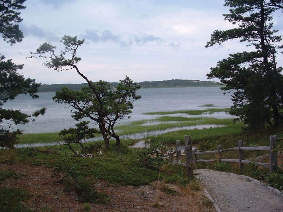
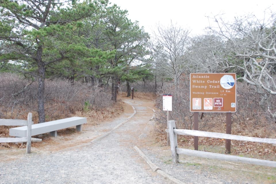
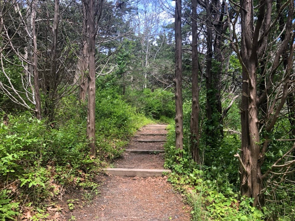
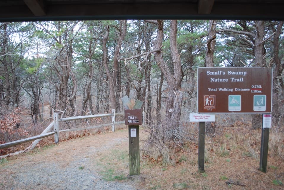
Small's Swamp Trail is a 0.6-mile loop that starts and ends at the covered shelter in Pilgrim Heights. Allow about 30 minutes. A gravel path through a pine forest leads to a bluff, then the loop drops toward a small swamp and returns by the shelter. It's an easy walk overall, but short steep hills and log steps make it less than a flat boardwalk stroll. If the view is your main reason to stop, you can walk out to the bluff and turn back instead of doing the whole loop.
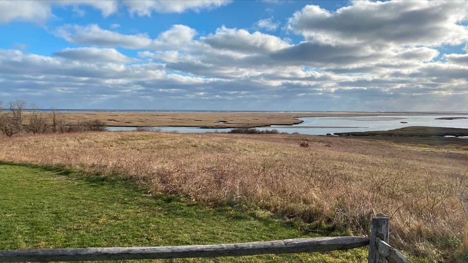
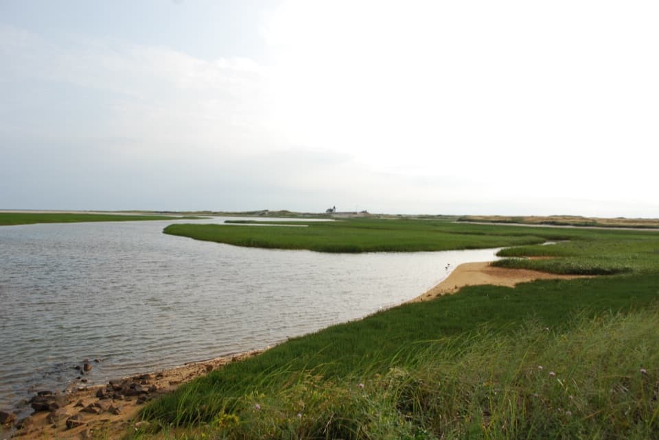
The bluff opens to a small creek draining from Pilgrim Lake, with dunes and the ocean beyond. It is the trail's clearest payoff. For a photo, frame the creek in front of the dune line so the view has both a foreground and a sense of distance.
The trail continues down toward Small's Swamp. A short boardwalk crosses the wet stretch; in summer, thick vegetation can hide much of the water. The return climbs a steep hill and follows a wooden fence back toward the loop entrance. Biting insects are a recurring nuisance near the swamp, especially in warm weather and around dusk. The picnic area is beside the trailhead parking, with seasonal restrooms. Dogs aren't allowed on Cape Cod National Seashore hiking trails.
The trail's name comes from Thomas Small, whose family farmed about 200 acres here beginning in the 1860s. His son Warren kept the farm until his death in 1922; the worn-out fields were then abandoned and gradually returned to forest. Native people also chose this area for living sites over thousands of years, drawn by its water, protection, and food.
Wildlife
 461 sightingsGray SealMost seen around 11 AMSighting map
 85 sightingsCoyoteMost seen around 6 AMSighting map
 300 sightingsRed FoxMost seen around 7 PMSighting map
 49 sightingsWhite-tailed DeerMost seen around 6 AMSighting map
 264 sightingsHorseshoe CrabMost seen around 8 PMSighting map
 74 sightingsGreat Blue HeronMost seen around 6 PMSighting map
Sighting maps show where each species has been reported across Cape Cod. Wildlife moves, so no sighting is guaranteed.
Keep exploring
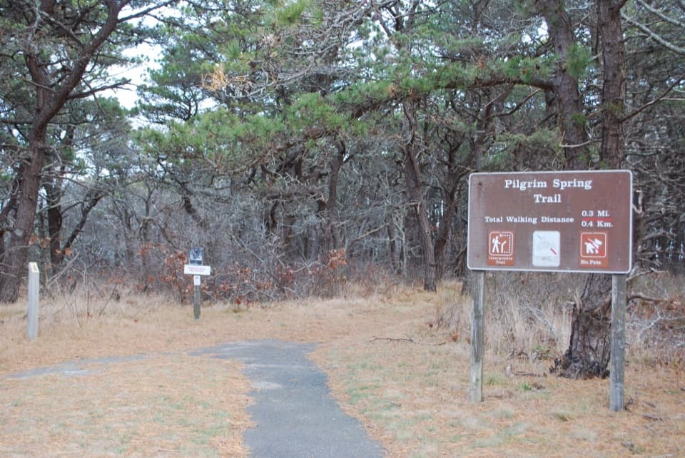 EasyPilgrim Spring Trail0.7 mi · 30 min · At the trailheadA short wooded loop to a bluff view and historic spring site.
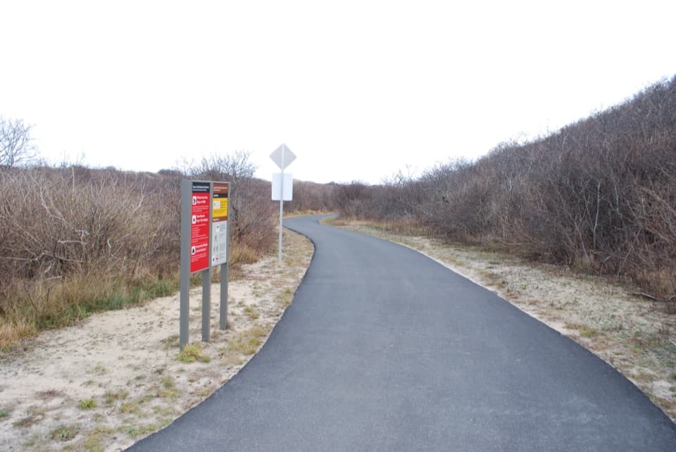 EasyHead of the Meadow Bike Trail2 mi · 30 min · 0.5 mi awayTwo paved miles through coastal woods to the beach.
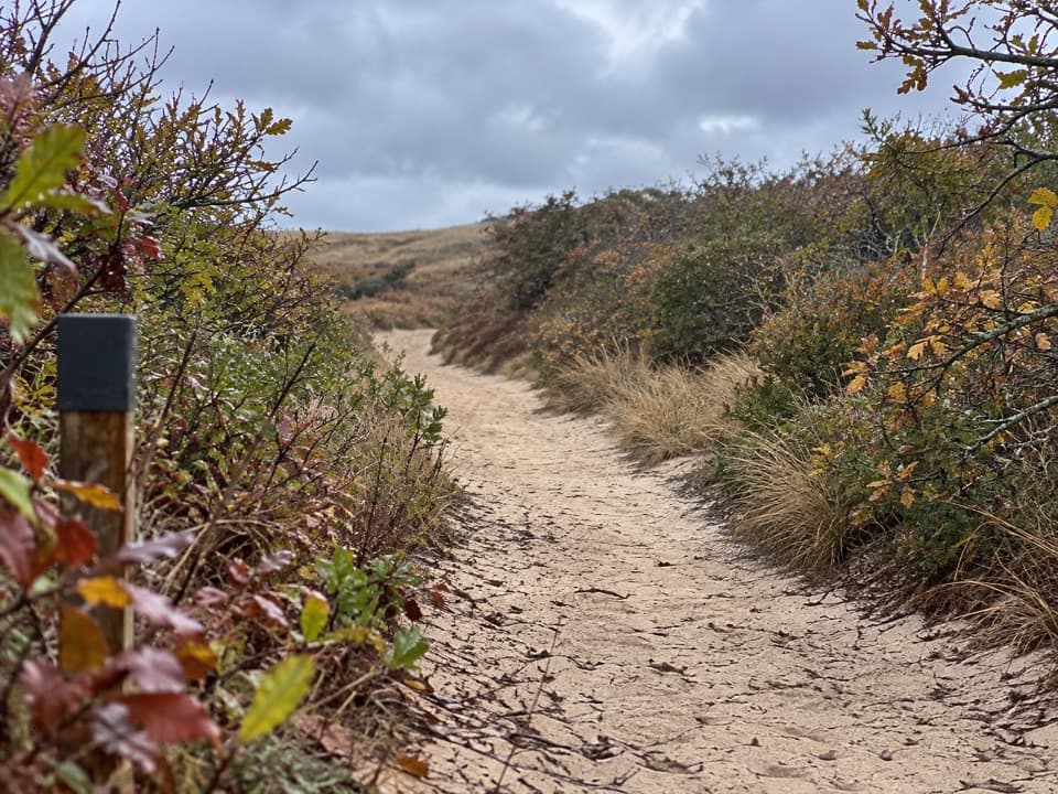 EasyHigh Head Road Trail0.9 mi · 30 min · 0.5 mi awayA short sandy path to the bay, with deep sand underfoot.
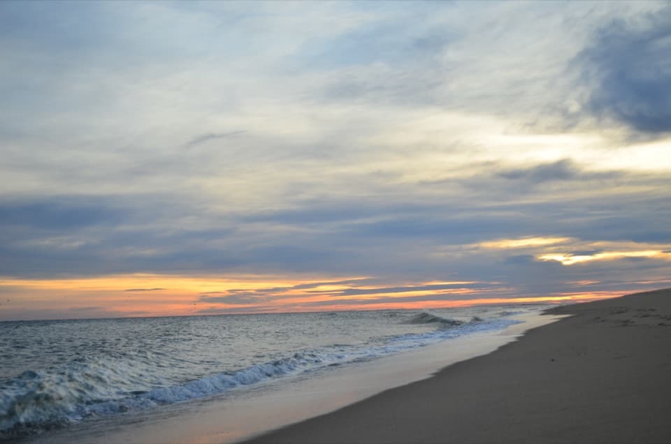 ModerateHead of the Meadow Beach and Bike Trail Loop4.5 mi · 2.5 hr · 1.4 mi awayA beach walk, sandy cut-through, and paved return.
 ModerateWoods Walk at Highlands Center1 mi · 30 min · 3.1 mi awayA mile-long woods loop with a Cold War backstory.
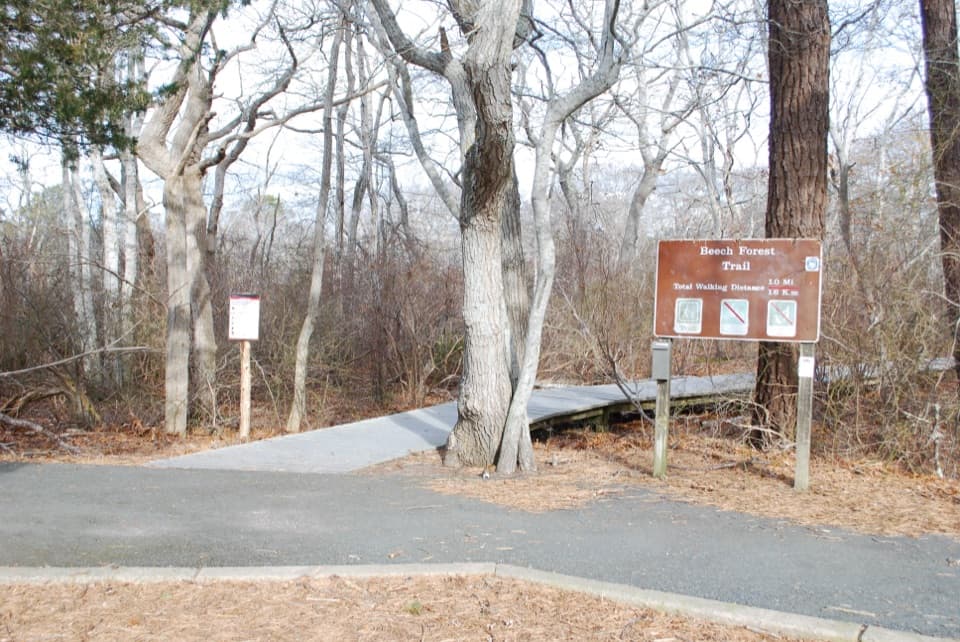 EasyBeech Forest Trail1 mi · 1 hr · 4.5 mi awayA quiet pond loop with spring birds and one steep dune climb.
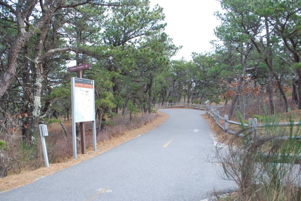 ModerateProvince Lands Bike Trail5.5 mi · 2.5 hr · 4.5 mi awayA paved 5.45-mile loop through dunes, pines, and cranberry bogs.
 ModerateWood End Lighthouse Trail3 mi · 2.5 hr · 4.8 mi awayA rough, tide-exposed dike leads through sand to Wood End Light.
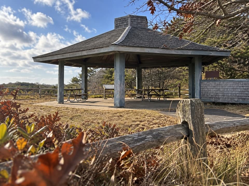 Picnic area · At the trailheadPilgrim HeightsA covered picnic stop with a short, history-lined walk.
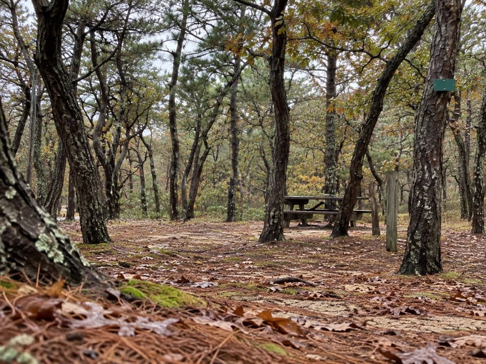 Campground · 1.3 mi awayNorth of Highland Camping AreaWooded tent camping a short walk from Head of the Meadow Beach.
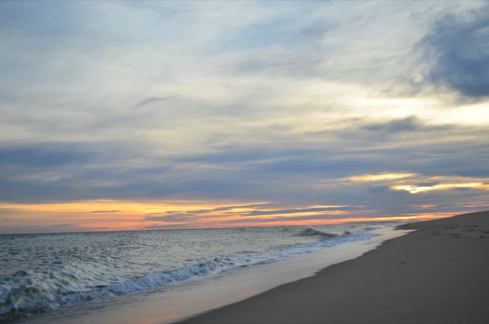 Beach · 1.3 mi awayHead of the Meadow BeachVery low tides sometimes uncover the wreck of the Frances.
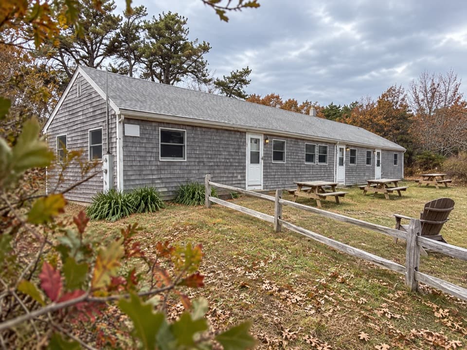 Lodging · 1.9 mi awayHighland Beach SuitesThree rental suites five minutes from Coast Guard Beach.
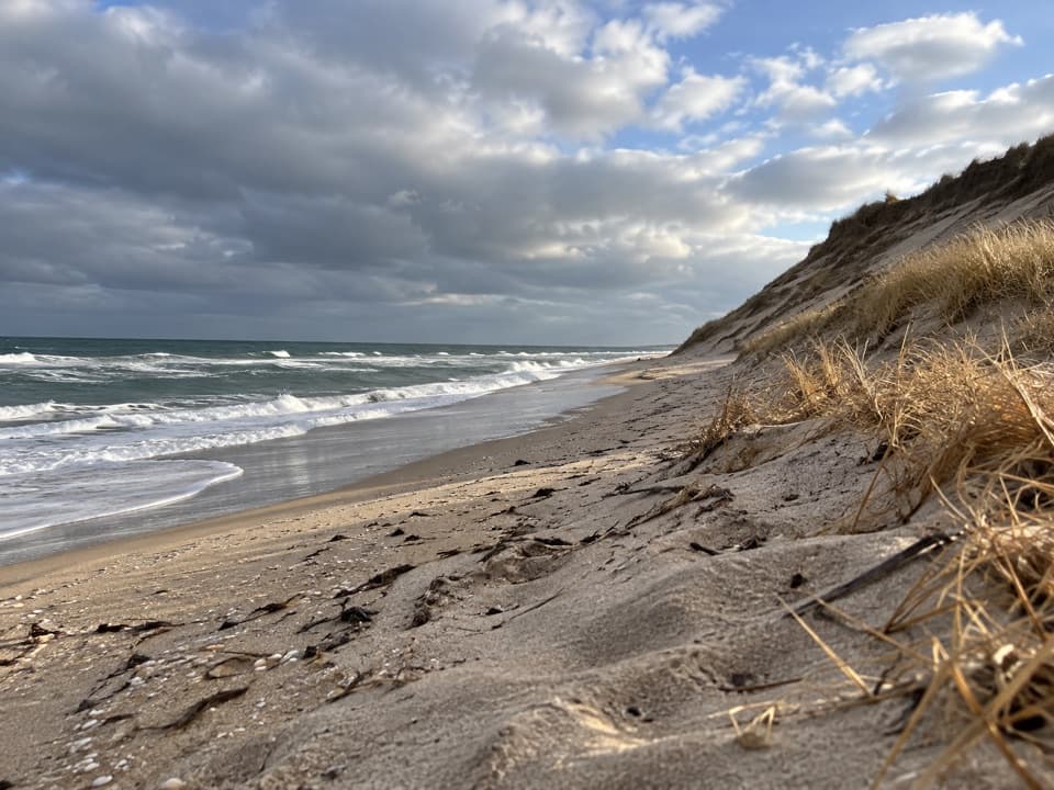 Beach · 2.1 mi awayCoast Guard Beach (Truro)High dunes, Atlantic surf, and a broad beach at road’s end.
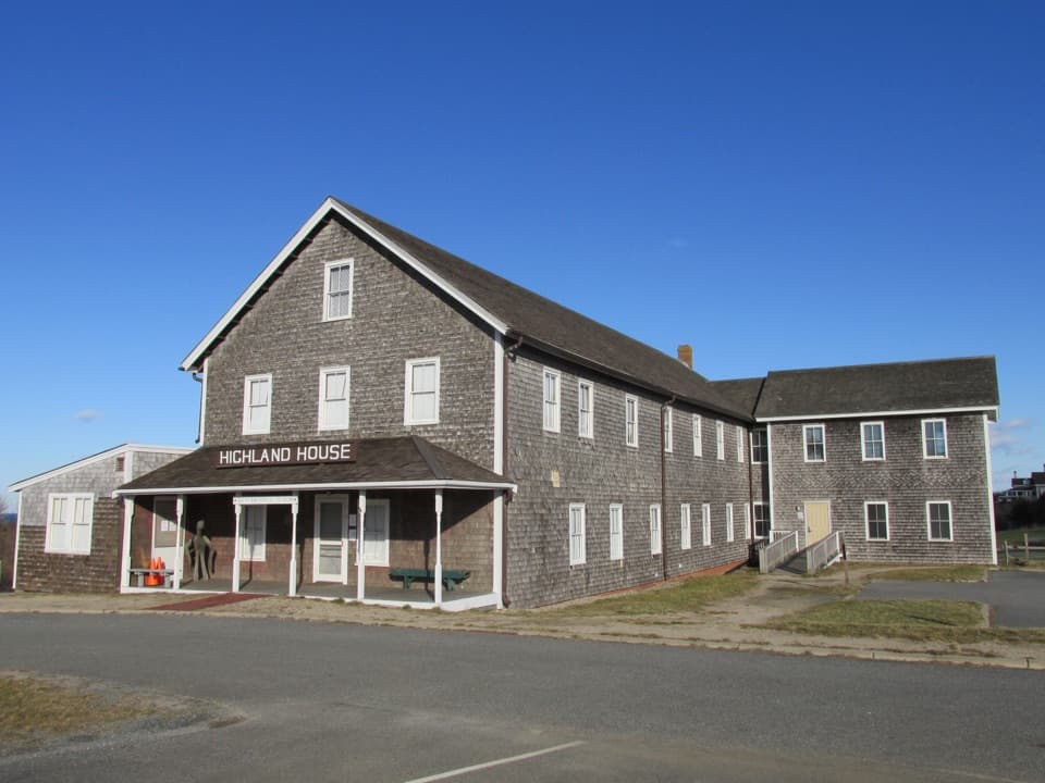 Sight · 2.4 mi awayHighland House MuseumA former resort hotel packed with Outer Cape history.
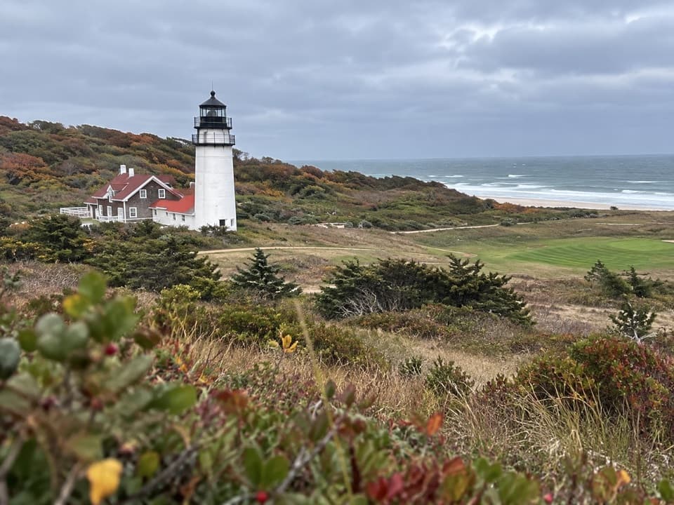 Sight · 2.5 mi awayHighland LinksA nine-hole links course with Atlantic views and a lighthouse beside it.
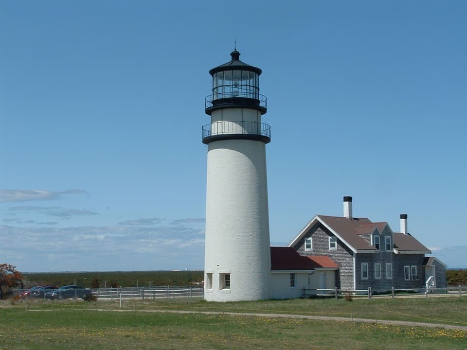 Sight · 2.5 mi awayHighland LightClimb the 1857 lighthouse moved 450 feet inland from the cliff.
Parkwolf’s Cape Cod ranking

The audio tour guide for the drive, plus offline maps, trails, and wildlife heatmaps for when the signal drops.