Parking
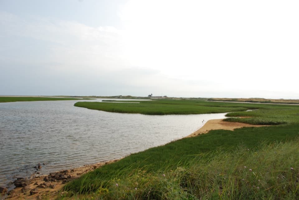
Start at the Head of the Meadow Beach parking lot, at the end of Head of the Meadow Road. NPS beach parking has a seasonal fee; the loop returns to the same lot.

Cape Cod National Seashore, MA
A beach walk, sandy cut-through, and paved return.
Overview
Map & elevation
Plan your hike

The highest, rockiest slopes around here are a summer buffet for grizzly bears.
Cape Cod Tour Guide
Parkwolf is a GPS audio tour guide for Cape Cod National Seashore. As you drive, it chimes in with what’s ahead: hidden gems, upcoming stops, history, geology, and wildlife, right through your car’s speakers.
Recorded for this area
Head of the Meadow Beach“Head of the Meadow Beach is coming up, a good choice for a long Atlantic shore walk. Reaching the sand means crossing a soft dune, so I'd keep the beach gear light.”
Plays on the road 0.1 mi from the trailhead in the Parkwolf Cape Cod Tour Guide.
More stories near here in the app
“Fantastic app with many points of information… It’s great to just turn on while you’re driving and it gives you an audio tour of the national Park. We love it!!!!”


Trail guide
This assembled 4.5-mile loop starts at Head of the Meadow Beach parking, follows the beach north for about two miles, cuts inland on a sandy ORV access corridor, and returns on the two-mile paved Head of the Meadow Bike Trail, with a short road link back to the lot. The mapped line is 4.53 miles; route descriptions range from 4.3 to 5 miles. Allow about two to three hours. The route is mostly level, but soft sand slows the beach leg. This is a beach-and-bike-trail itinerary, not an NPS-designated hiking trail. Its sandy corridor is the link to check before setting out.
Use the beach access from the lot, then walk north on open sand beneath the dunes. This stretch is broad and exposed, with the ocean beside you and loose sand underfoot. One route account describes a large group of gray seals resting on a low-tide sandbar and moving into a nearshore pool as the tide turned; seeing seals is a possibility, not a promise.
At the inland access, follow the established sandy corridor across the Provincelands for roughly half a mile, then head south on the paved bike trail. The path is mostly level and runs past berry bushes and trees; cyclists share it, and some surfaces can be bumpy. The ORV corridor's access status can change, and posted shorebird closures may close beach sections. Check current NPS conditions and follow posted signs. Leashed dogs are permitted on the beach and bike trail in normal conditions, but check the corridor's pet access before relying on the loop with a dog. If you want firmer footing, the two-mile bike trail can be walked out and back as a separate, mostly paved option.
More than a thousand vessels have wrecked along the coast between Truro and Wellfleet. From Head of the Meadow Beach, the remains of the Frances, lost in a December gale in 1872, may still be visible at low tide.
Wildlife
 459 sightingsGray SealMost seen around 11 AMSighting map
 84 sightingsCoyoteMost seen around 6 AMSighting map
 297 sightingsRed FoxMost seen around 7 PMSighting map
 49 sightingsWhite-tailed DeerMost seen around 6 AMSighting map
 263 sightingsHorseshoe CrabMost seen around 8 PMSighting map
 73 sightingsGreat Blue HeronMost seen around 6 PMSighting map
Sighting maps show where each species has been reported across Cape Cod. Wildlife moves, so no sighting is guaranteed.
Keep exploring
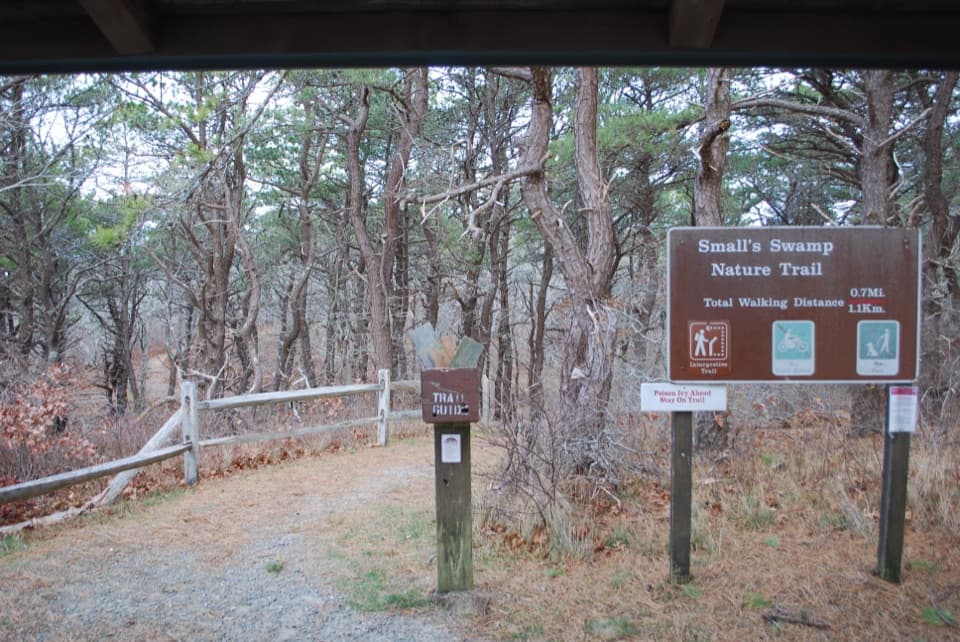 EasySmall's Swamp Trail0.6 mi · 30 min · 1.4 mi awayA quick loop with a boardwalk, wetland, and bluff views.
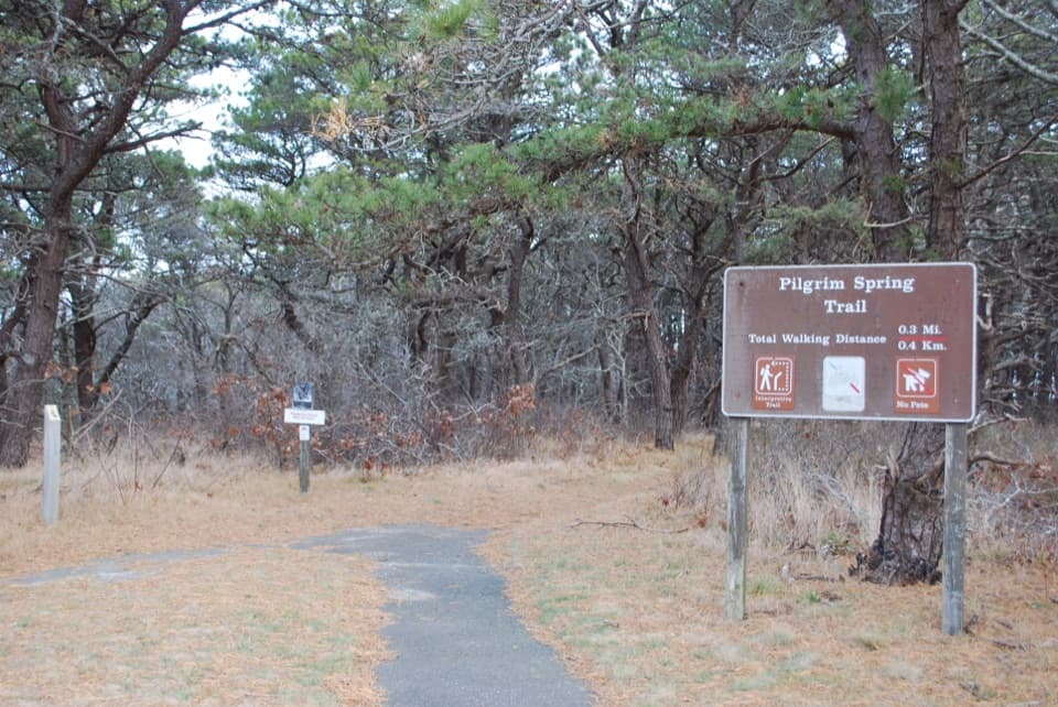 EasyPilgrim Spring Trail0.7 mi · 30 min · 1.4 mi awayA short wooded loop to a bluff view and historic spring site.
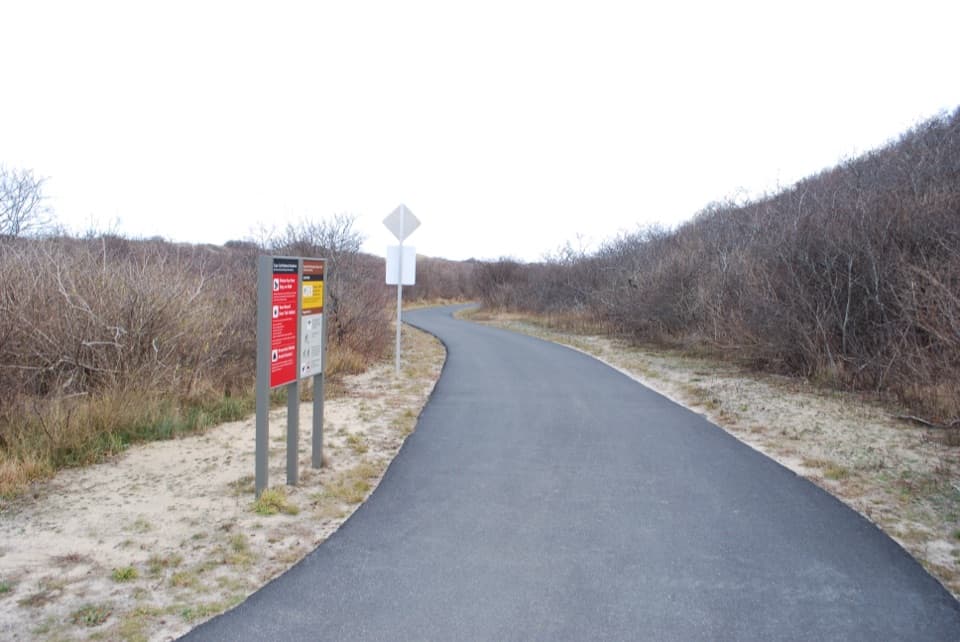 EasyHead of the Meadow Bike Trail2 mi · 30 min · 1.8 mi awayTwo paved miles through coastal woods to the beach.
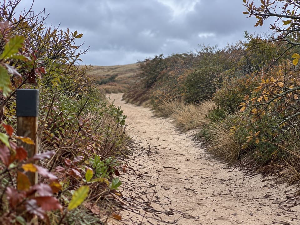 EasyHigh Head Road Trail0.9 mi · 30 min · 1.8 mi awayA short sandy path to the bay, with deep sand underfoot.
 ModerateWoods Walk at Highlands Center1 mi · 30 min · 1.9 mi awayA mile-long woods loop with a Cold War backstory.
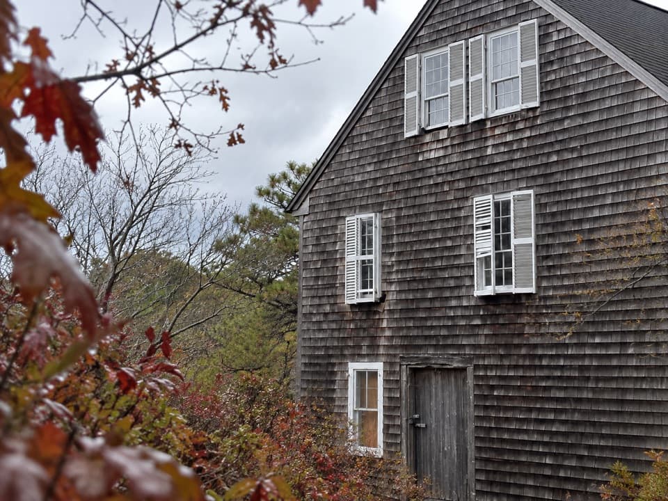 ModeratePamet Cranberry Bog Trail1.8 mi · 1.3 hr · 4.4 mi awayA woodland walk to the former cranberry Bog House
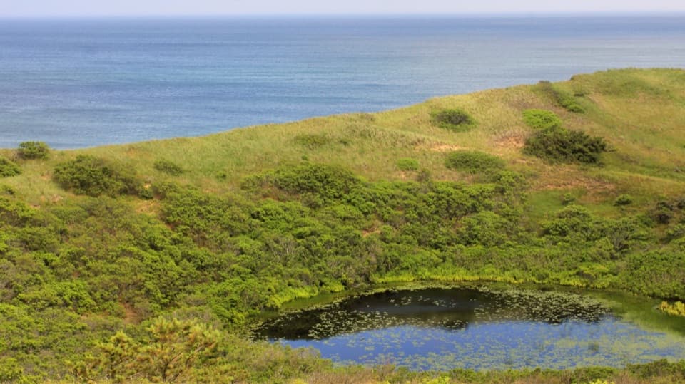 ModerateBearberry Hill Overlook Trail0.5 mi · 45 min · 4.4 mi awayTwo summit spurs give you Atlantic and cranberry-bog views.
 ModerateHiggins Hollow Loop3.1 mi · 2 hr · 4.4 mi awayLow hills, an ocean overlook, and a cranberry boghouse.
 Beach · 0.1 mi awayHead of the Meadow BeachVery low tides sometimes uncover the wreck of the Frances.
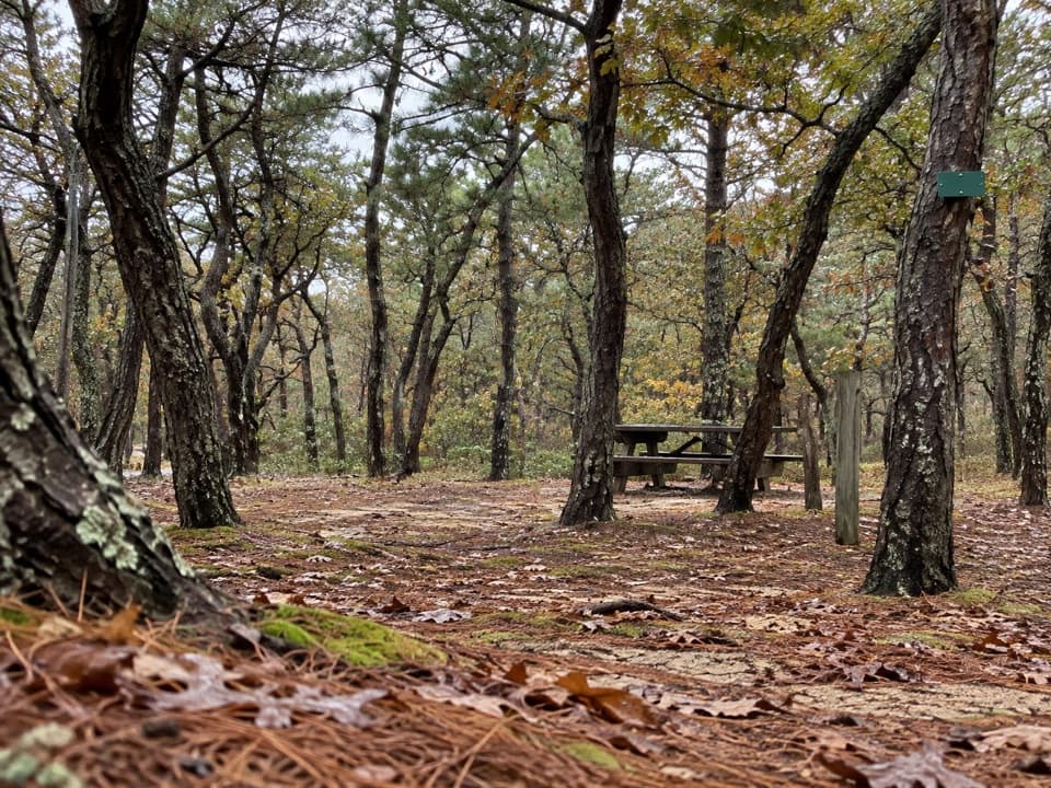 Campground · 0.4 mi awayNorth of Highland Camping AreaWooded tent camping a short walk from Head of the Meadow Beach.
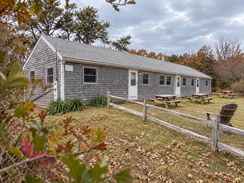 Lodging · 0.6 mi awayHighland Beach SuitesThree rental suites five minutes from Coast Guard Beach.
 Beach · 0.7 mi awayCoast Guard Beach (Truro)High dunes, Atlantic surf, and a broad beach at road’s end.
 Sight · 1.2 mi awayHighland House MuseumA former resort hotel packed with Outer Cape history.
 Sight · 1.2 mi awayHighland LinksA nine-hole links course with Atlantic views and a lighthouse beside it.
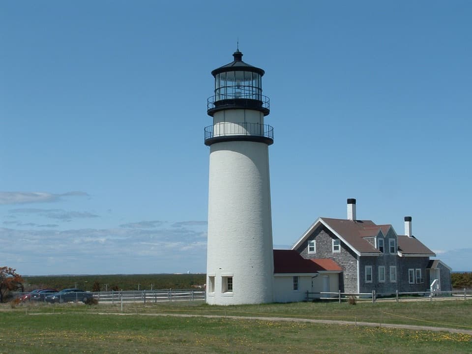 Sight · 1.2 mi awayHighland LightClimb the 1857 lighthouse moved 450 feet inland from the cliff.
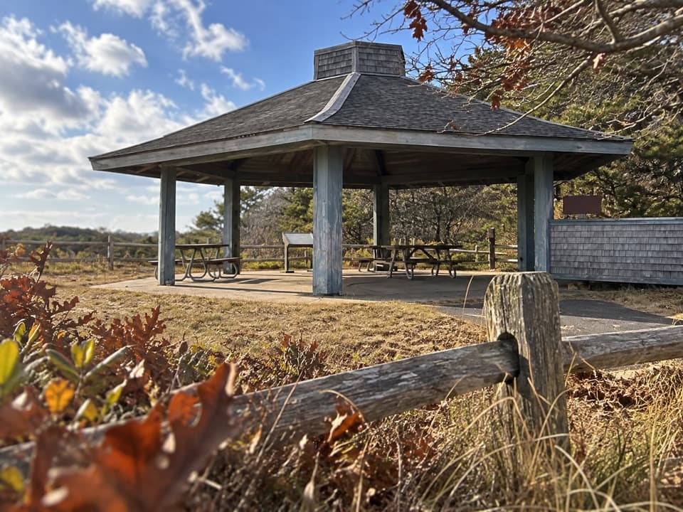 Picnic area · 1.4 mi awayPilgrim HeightsA covered picnic stop with a short, history-lined walk.
Parkwolf’s Cape Cod ranking

The audio tour guide for the drive, plus offline maps, trails, and wildlife heatmaps for when the signal drops.