Haulover Day Use Area in Cape Hatteras National Seashore

Beach · Cape Hatteras National Seashore

Haulover Day Use Area

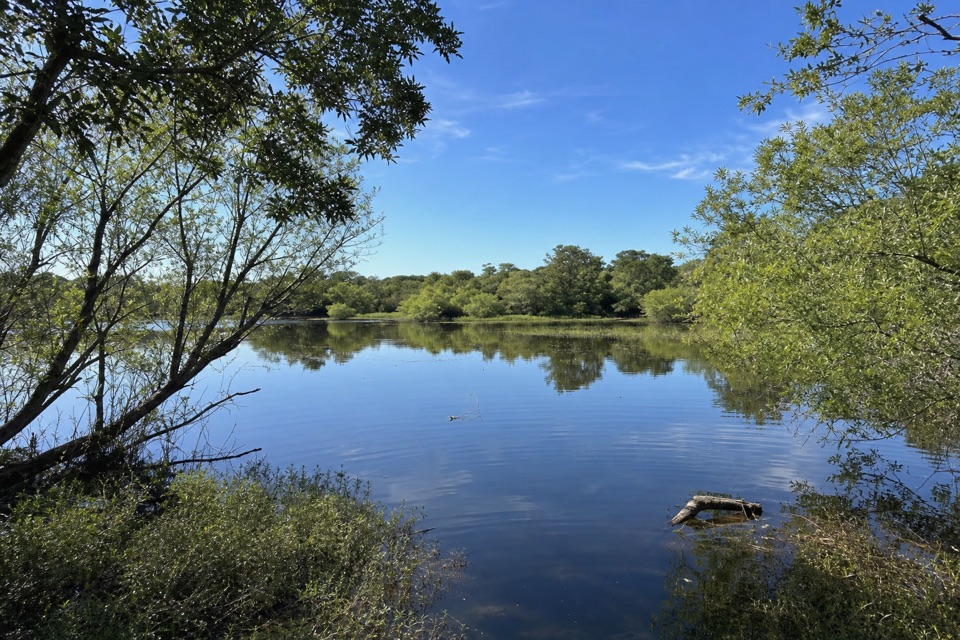
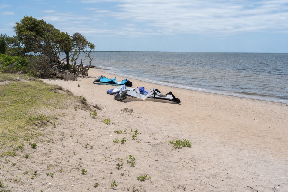
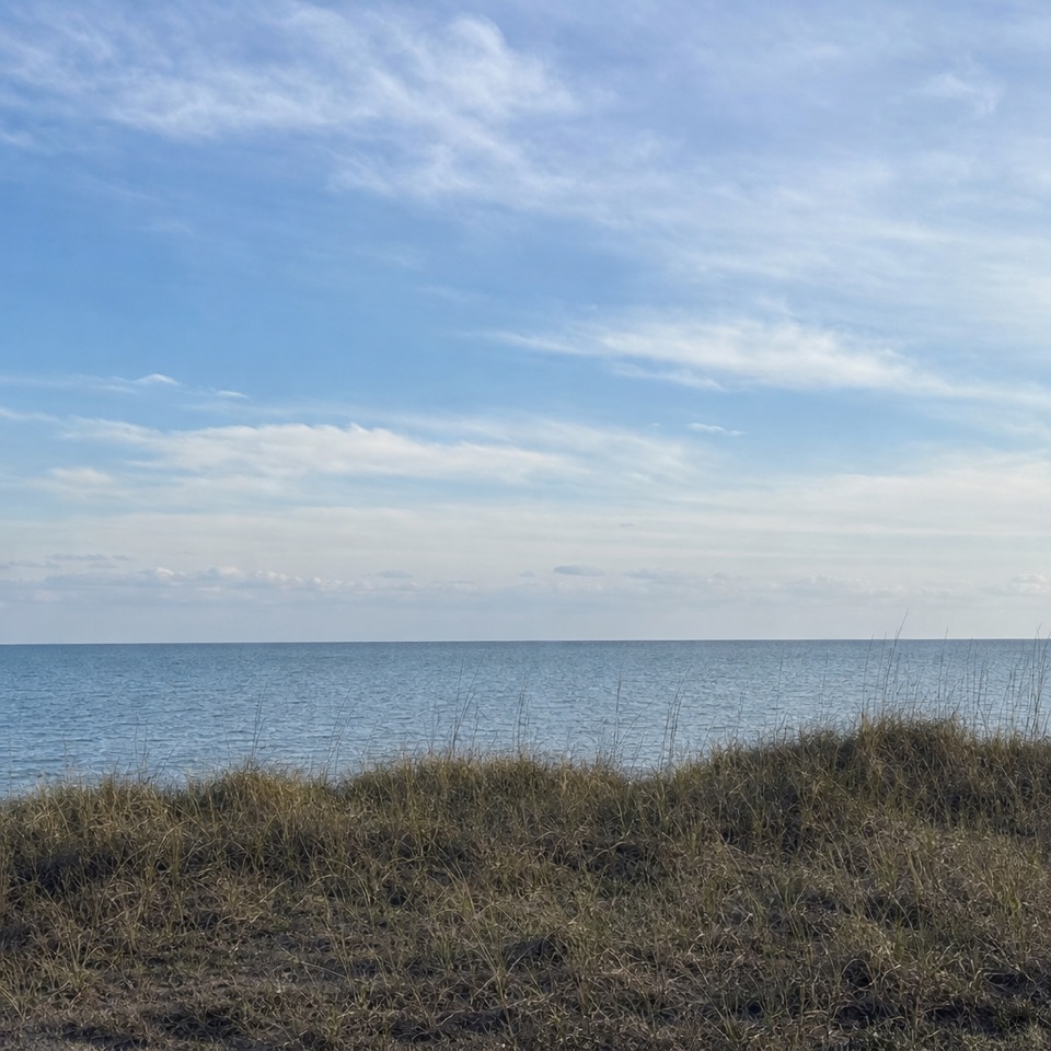
Shallow sound water and a spring/fall wind-sports scene.

Type
Beach
Nearest trail
2.4 mi
Audio stories
3 nearby
  • Parking
  • Restrooms
  • #11 of 26 sights

Hear the audio tour

Haulover and Kite Point

Overview

About Haulover Day Use Area

Why stop

  • Shallow sound access and a distinctive wind-sports scene when conditions line up.

Heads up

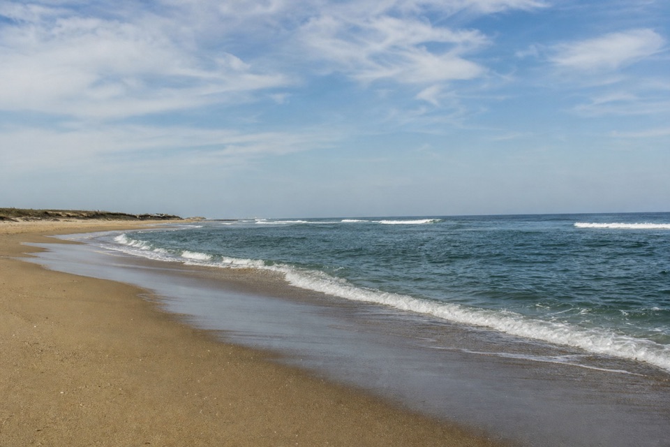
  • NC 12 separates the soundside access from the ocean-side beach.

Map

Where it is

Loading the Cape Hatteras map
Full map
BeachHaulover Day Use Area35.29877, -75.51404
Keep this map with you offline in the Parkwolf app

Plan your stop

Before you go

6 active Cape Hatteras alerts

  • ClosurePartial beach closures in front of Buxton VillageSections of beachfront in front of Buxton Village are temporarily closed. - The closure is due to threatened oceanfront structures and Dare County’s beach nourishment project.Official details
  • ClosurePartial beach closure in northern RodantheThe beach from the northern boundary of Rodanthe to the Rodanthe pier is closed to all access. - The closure is required because multiple threatened oceanfront structures pose risks to public safety.Official details

See all 6 alerts
A park ranger sits on a dash-mounted phone, talking, as Parkwolf’s Tour Guide plays “Army Cutworm Moths: A Grizzly Bear Buffet” on Grand Loop Road below Dunraven Pass in Yellowstone
Parkwolf Tour GuideThe highest, rockiest slopes around here are a summer buffet for grizzly bears.

Cape Hatteras Tour Guide

Your drive to Haulover Day Use Area, narrated.

Parkwolf is a GPS audio tour guide for Cape Hatteras National Seashore. As you drive, it chimes in with what’s ahead: hidden gems, upcoming stops, history, geology, and wildlife, right through your car’s speakers.

Recorded for this place

Haulover and Kite Point
0:00 / 0:35
“You're approaching Haulover Day Use Area, a shallow-water stop on Pamlico Sound where watching the riders can be half the fun.”

Plays as you drive up to Haulover Day Use Area in the Parkwolf Cape Hatteras Tour Guide.

More stories near here in the app

  • The Lighthouse That Floated
  • The Birds That Chase the Waves
  • Orange Blossom Bakery and the Apple Ugly
  • Cape Hatteras Lighthouse Grounds
  • 67 audio storiesacross Cape Hatteras’s roads, triggered by GPS as you drive
  • Wildlife heatmapsfor Brown Pelican, Tamanend's Bottlenose Dolphin, Bald Eagle, and 13 more
  • Works offlinemaps, 11 trails, 35 places, and audio download before you lose signal
  • CarPlay readysimple controls built for the drive
★★★★★
“Fantastic app with many points of information… It’s great to just turn on while you’re driving and it gives you an audio tour of the national Park. We love it!!!!”
JMJamesApp Store review
Download Parkwolf on the App StoreGet Parkwolf on Google Play

4.7 from 8,600+ ratings

Guide

More about Haulover Day Use Area

A soundside stop for more than ridersHaulover Day Use Area is a public beach and water access on Pamlico Sound, along NC 12 near…

Haulover Day Use Area is a public beach and water access on Pamlico Sound, along NC 12 near Buxton. The shore shelves gradually into shallow water, making this a simple place to wade, paddle or launch a small boat. When spring and fall winds arrive, windsurfers and kiteboarders turn the broad sound into the main event. If boards are your reason for coming, remember that the show depends on the wind; on a still day, this is a quieter way to reach the water.

Watch the wind and the shallowsThe nickname Canadian Hole comes from Canadian windsurfers who made the Outer Banks a regular…

The nickname Canadian Hole comes from Canadian windsurfers who made the Outer Banks a regular stop beginning in the 1980s; kiteboarders joined them later. The best window for wind sports is usually spring or fall, though conditions vary. You can also just watch from shore. The wider Pamlico Sound is nursery habitat: eelgrass shelters young marine life, and fiddler crabs and shrimp use the shallows. For a photo, come late in the day and frame west across the open sound; the long horizon and a fringe of marsh grass give the picture more than a sheet of water.

Get there and plan simplyThe soundside parking and bathhouse sit right by the water.

The soundside parking and bathhouse sit right by the water. Restrooms and changing rooms are in the bathhouse; showers are seasonal, and a bottle-filling station is provided. A sandy path crosses NC 12 through the dunes toward the ocean side, so take care with traffic if you make that separate walk. There are two accessible-marked parking spaces, but neither is van-marked or served by a striped access aisle, and one is partly covered by a sand embankment. That is a meaningful limitation if you need transfer space beside your vehicle.

Wildlife

Wildlife in Cape Hatteras

All Cape Hatteras wildlife maps

Sighting maps show where each species has been reported across Cape Hatteras. Wildlife moves, so no sighting is guaranteed.

Parkwolf’s Cape Hatteras ranking

Top sights in Cape Hatteras

All 35 places
  1. 1Cape Hatteras LighthouseSight
  2. 2Bodie Island LighthouseSight
  3. 3Ocracoke LighthouseSight
  4. 4Cape PointBeach
  5. 5Coquina BeachBeach
  6. 6Bonner Bridge PierSight

Take Parkwolf to Cape Hatteras.

The audio tour guide for the drive, plus offline maps, trails, and wildlife heatmaps for when the signal drops.

4.7 from 8,600+ ratings

Download Parkwolf on the App StoreGet Parkwolf on Google Play