Place · 0.6 mi away

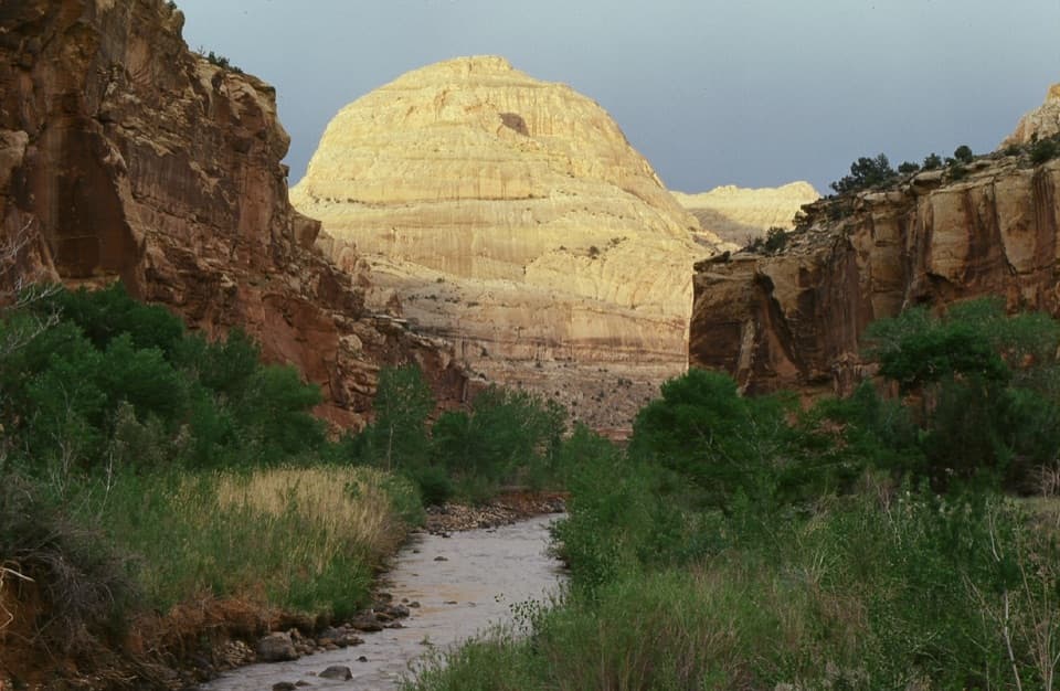
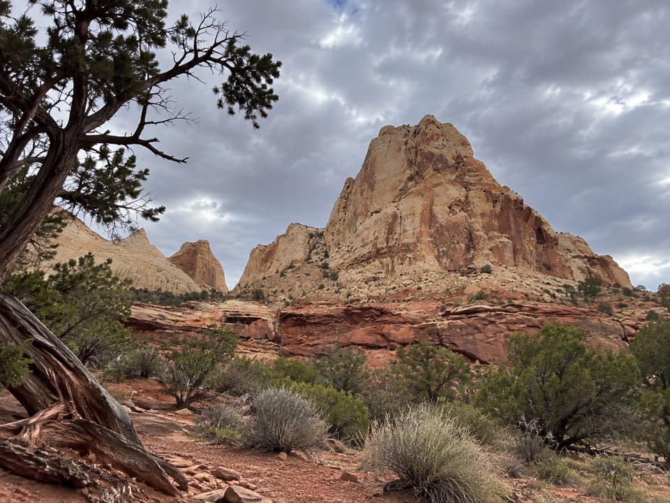
Capitol Dome is the pale, rounded Navajo sandstone landmark that gave the area its “Capitol” name—the classic dome shape really does echo the U.S. Capitol. It pops against the surrounding red cliffs and tans, making it one of the park’s most recognizable features.
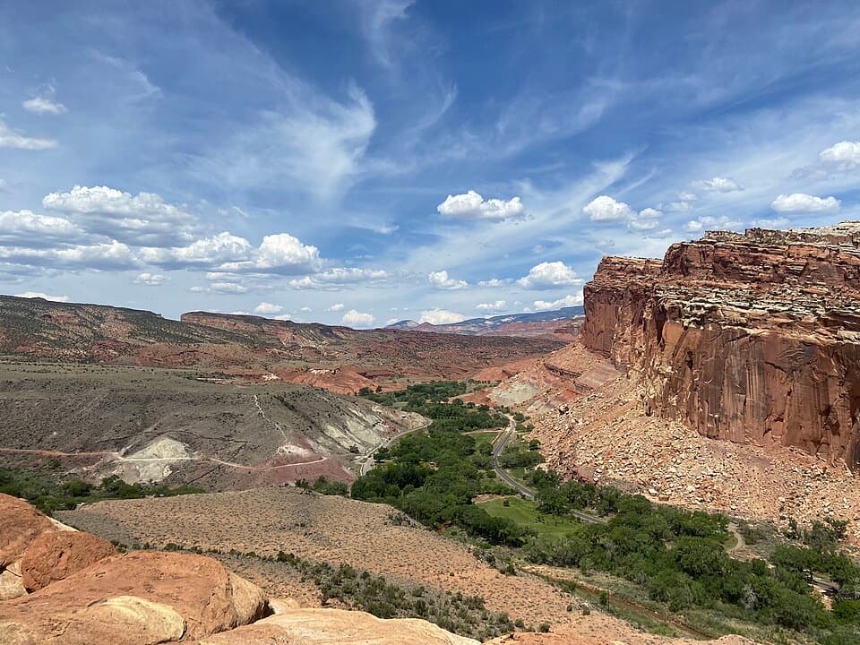
From the Fremont River corridor along SR‑24, the dome rises clean and white above layered desert rock. It’s a quick, photogenic stop: a single prominent summit framed by red walls, desert vegetation, and the green thread of the river nearby.
Think of this as a roadside landmark rather than a developed stop. You can admire it while traveling SR‑24, but there’s no documented dedicated trailhead, restroom, picnic area, or other services at the feature itself. Plan to be self‑sufficient and use facilities elsewhere in the park.
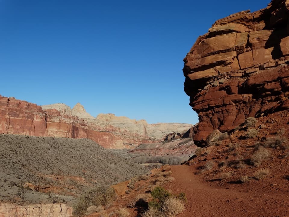
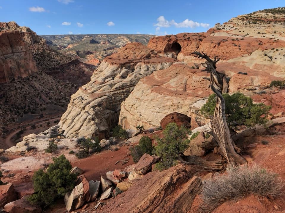
The dome is carved from Jurassic‑age Navajo Sandstone—ancient wind‑blown dunes turned to stone, now sculpted into smooth domes. It’s part of the broader Waterpocket Fold story, where uplift exposed a rainbow of rock layers. The dome’s Capitol‑like profile is why early observers bestowed the name, which stuck for the wider landscape.
Early morning and late afternoon give the most flattering, warm light on the white stone and cooler temps for lingering. Midday brings harsh light and heat. You can swing by any day of the week; this park generally feels calmer than Utah’s headliners, but summer afternoons are still toasty and exposed.
While not a wildlife hotspot specifically, the surrounding corridor holds the usual desert cast—birds, lizards, small mammals—and activity generally bumps up around dawn and dusk. Keep your eyes open as you move through the area.
Yes—as a swift, high‑impact visual. It’s an easy add to any SR‑24 drive, best treated as a photo stop and a chance to soak up the park’s namesake geology before moving on to longer hikes nearby.