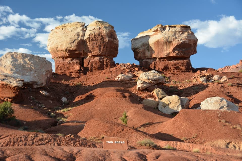
Capitol Reef West Entrance Pulloff in Capitol Reef National Park

Scenic pullout · Capitol Reef National Park

Capitol Reef West Entrance Pulloff

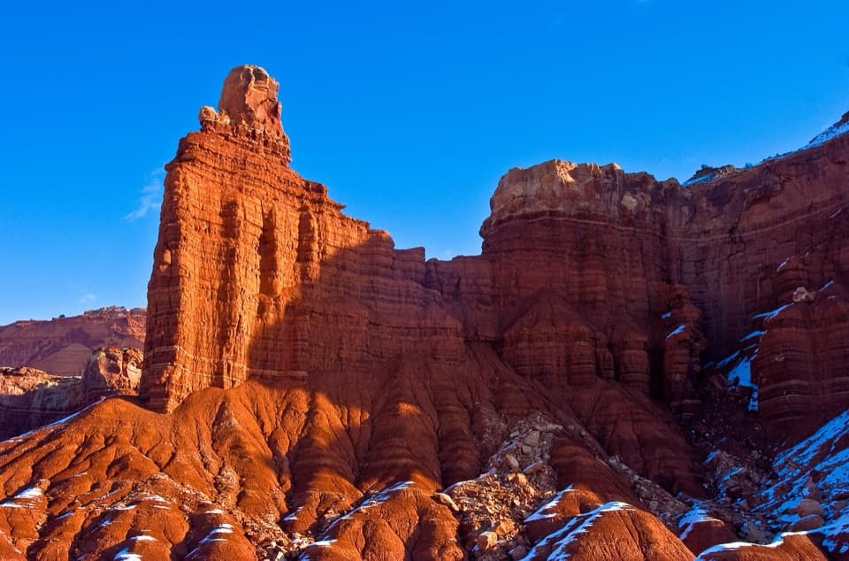
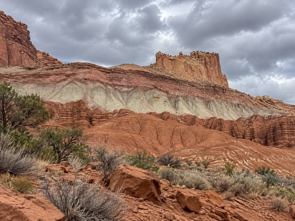
A signed west-edge stop with Chimney Rock to the east.

Photo: Pexels License
Type
Scenic pullout
Nearest trail
0.9 mi
Audio stories
2 nearby
  • Pullout
  • Parking

Hear the audio tour

The Caterpillars’ Shared Shelter

Overview

About Capitol Reef West Entrance Pulloff

Why stop

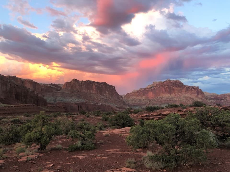
  • A signed west entrance and a useful view toward Chimney Rock and the Waterpocket Fold.

Map

Where it is

Loading the Capitol Reef map
Full map
Scenic pulloutCapitol Reef West Entrance Pulloff38.32588, -111.35622
Keep this map with you offline in the Parkwolf app

Plan your stop

Before you go

2 active Capitol Reef alerts

  • CautionFlash-flood hazard in canyons and washesHeavy rains can cause sudden flooding in Capitol Reef’s canyons and washes; do not hike or drive through floodwater.Official details
  • CautionE. coli advisory for Fremont River and Sulphur CreekDo not swim in the Fremont River or Sulphur Creek or get water in your mouth: NPS reports elevated E. coli in both waterways, and Utah DEQ has issued a warning advisory. - DEQ reports Sulphur Creek E.Official details

Capitol Reef alerts
A park ranger sits on a dash-mounted phone, talking, as Parkwolf’s Tour Guide plays “Army Cutworm Moths: A Grizzly Bear Buffet” on Grand Loop Road below Dunraven Pass in Yellowstone
Parkwolf Tour GuideThe highest, rockiest slopes around here are a summer buffet for grizzly bears.

Capitol Reef Tour Guide

Your drive to Capitol Reef West Entrance Pulloff, narrated.

Parkwolf is a GPS audio tour guide for Capitol Reef National Park. As you drive, it chimes in with what’s ahead: hidden gems, upcoming stops, history, geology, and wildlife, right through your car’s speakers.

See the Capitol Reef audio tour

Recorded for this area

The Caterpillars’ Shared Shelter
0:00 / 0:30
“A silken bag in a cottonwood tree may be a tent full of caterpillars. Southwestern tent caterpillars hatch in spring and share these shelters, feeding on cottonwood leaves between rest periods.”

Plays on the road 0.3 mi from Capitol Reef West Entrance Pulloff in the Parkwolf Capitol Reef Tour Guide.

More stories near here in the app

  • Twin Rocks Viewpoint
  • Upper Sulphur Creek Trailhead
  • Chimney Rock
  • Panorama Point
  • 116 audio storiesacross Capitol Reef’s roads, triggered by GPS as you drive
  • Wildlife heatmapsfor Bighorn Sheep, Mule Deer, Marmot, and 13 more
  • Works offlinemaps, 48 trails, 52 places, and audio download before you lose signal
  • CarPlay readysimple controls built for the drive
★★★★★
“Fantastic app with many points of information… It’s great to just turn on while you’re driving and it gives you an audio tour of the national Park. We love it!!!!”
JMJamesApp Store review
Download Parkwolf on the App StoreGet Parkwolf on Google Play

4.7 from 8,600+ ratings

Guide

More about Capitol Reef West Entrance Pulloff

Start where Highway 24 entersThis roadside pullout marks Capitol Reef’s western boundary on Utah Highway 24, about 6,400…

This roadside pullout marks Capitol Reef’s western boundary on Utah Highway 24, about 6,400 feet above sea level. It’s the westernmost stop on the highway’s self-guided tour, and a handy place to orient yourself before the road runs 15 miles through the park toward Fruita, roughly 1,000 feet lower.

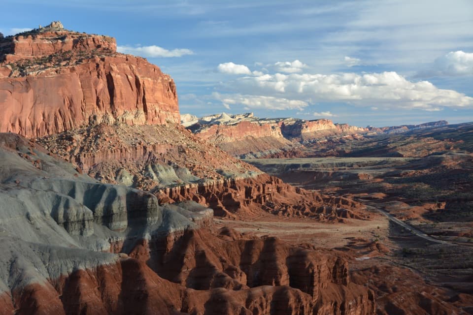
Look east from the markerChimney Rock is visible east of the pullout.

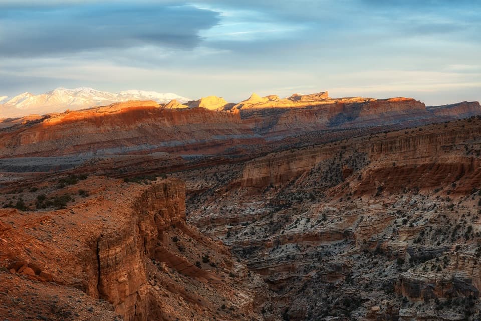
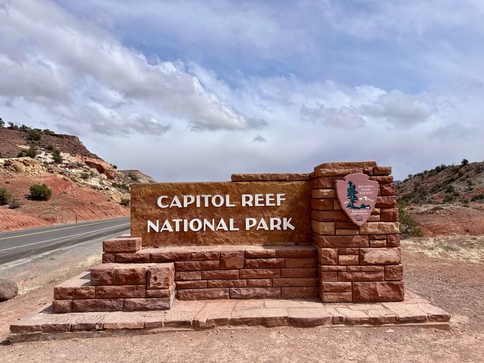
Chimney Rock is visible east of the pullout. To the southeast, look for the yellow-white domes capping the Waterpocket Fold, with the Henry Mountains farther back. For an entrance photo, frame the sandstone welcome sign with the road and the country beyond; that gives the picture both its place and its setting.

The Henry Mountains’ different geologyThe Henry Mountains formed when magma swelled beneath Earth’s crust and cooled without erupting.

The Henry Mountains formed when magma swelled beneath Earth’s crust and cooled without erupting. Erosion later exposed the tough rock, mostly diorite. The pale Waterpocket Fold domes and the more distant Henry Mountains share the same view but tell different geologic stories.

A much older homelandThe NPS identifies Capitol Reef as part of the ancestral and current homelands of at least 32…

The NPS identifies Capitol Reef as part of the ancestral and current homelands of at least 32 Native American tribes and pueblos, including Hopi, Zuni, Ute, Paiute and Navajo communities. It notes oral traditions describing continuous human presence in the area for several thousand years. The entrance sign marks a park boundary within a much older cultural landscape.

Wildlife

Wildlife in Capitol Reef

All Capitol Reef wildlife maps

Sighting maps show where each species has been reported across Capitol Reef. Wildlife moves, so no sighting is guaranteed.

Keep exploring

Near Capitol Reef West Entrance Pulloff

See it all on the map

Trails nearby

More stops nearby

Parkwolf’s Capitol Reef ranking

Top sights in Capitol Reef

All 52 places
  1. 1Hickman BridgeSight
  2. 2Gifford HomesteadSight
  3. 3Fremont PetroglyphsSight
  4. 4Cassidy ArchSight
  5. 5Temples of the Sun and MoonSight
  6. 6Fruita OrchardsSight

Take Parkwolf to Capitol Reef.

The audio tour guide for the drive, plus offline maps, trails, and wildlife heatmaps for when the signal drops.

4.7 from 8,600+ ratings

Download Parkwolf on the App StoreGet Parkwolf on Google Play