Parking
Follow the Goosenecks spur road to the small shared circular lot at its end. Goosenecks is the westward path; Sunset Point starts separately across the lot.
Capitol Reef National Park, UT
A short walk to Sulphur Creek’s tight canyon bend.
Overview
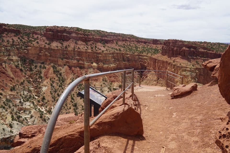
Goosenecks is an easy 0.2-mile out-and-back from a shared parking area to a railed overlook above Sulphur Creek. The path is 0.1 mile each way with less than 50 feet of elevation change; allow about 10–15 minutes for the walk and a quick look. It is a high-payoff stop if you are already on the Goosenecks spur, but it is not a substitute for a longer hike. A park entrance pass is required, and pets are not allowed on park trails.
 Parkwolf’s verdictIs this worth the stop?
Map & elevation
Plan your hike

The highest, rockiest slopes around here are a summer buffet for grizzly bears.
Capitol Reef Tour Guide
Parkwolf is a GPS audio tour guide for Capitol Reef National Park. As you drive, it chimes in with what’s ahead: hidden gems, upcoming stops, history, geology, and wildlife, right through your car’s speakers.
See the Capitol Reef audio tourRecorded for this trailhead
Sunset Point and Goosenecks“Sunset Point and Goosenecks are coming up, with two quite different views from the same parking area.”
Plays as you drive up to this trailhead in the Parkwolf Capitol Reef Tour Guide.
More stories near here in the app
“Fantastic app with many points of information… It’s great to just turn on while you’re driving and it gives you an audio tour of the national Park. We love it!!!!”


Trail guide
From the shared lot, take the Goosenecks path to the west; Sunset Point is the separate trail across the lot. The dusty track has a switchback and several rocky steps, crosses a small ridge, then drops toward the rim. Expect uneven footing. Stop at the fenced platform and stay behind the railing.
Sulphur Creek lies far below in a deep, banded gorge. At the overlook, the creek cuts a tight bend that almost doubles back on itself—the gooseneck that makes this short walk worth the stop. For a photo, include the curve and layered canyon walls so the drop and the creek’s shape read clearly; the view is about the creek’s turn, not a distant park panorama.
Wildlife
 50 sightingsBighorn SheepMost seen around 6 PMSighting map
 322 sightingsMule DeerMost seen around 6 PMSighting map
 70 sightingsMarmotMost seen around 7 AMSighting map
 13 sightingsCottontail RabbitMost seen around 7 PMSighting map
 33 sightingsTurkeyMost seen around 6 AMSighting map
 14 sightingsRavenMost seen around 9 AMSighting map
Sighting maps show where each species has been reported across Capitol Reef. Wildlife moves, so no sighting is guaranteed.
Keep exploring
 EasySunset Point Trail0.8 mi · 45 min · At the trailheadA short rim walk for sunset over the Waterpocket Fold.
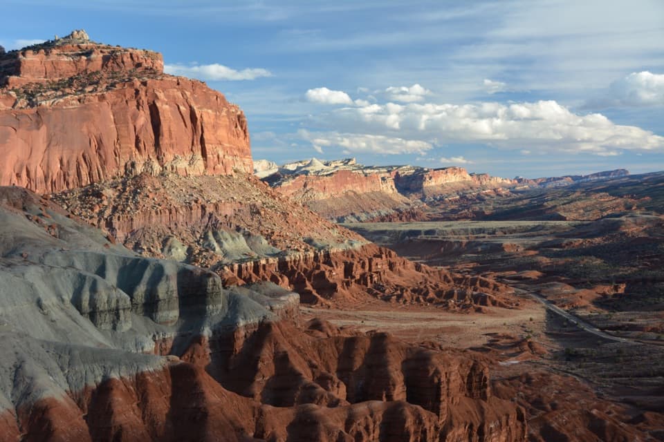 ChallengingChimney Rock Loop3.6 mi · 2.5 hr · 1.2 mi awayA steep climb opens onto Chimney Rock and Waterpocket Fold views.
 ChallengingLower Spring Canyon9.7 mi · 6 hr · 1.2 mi awayA long canyon walk with an exposed bypass and river ford.
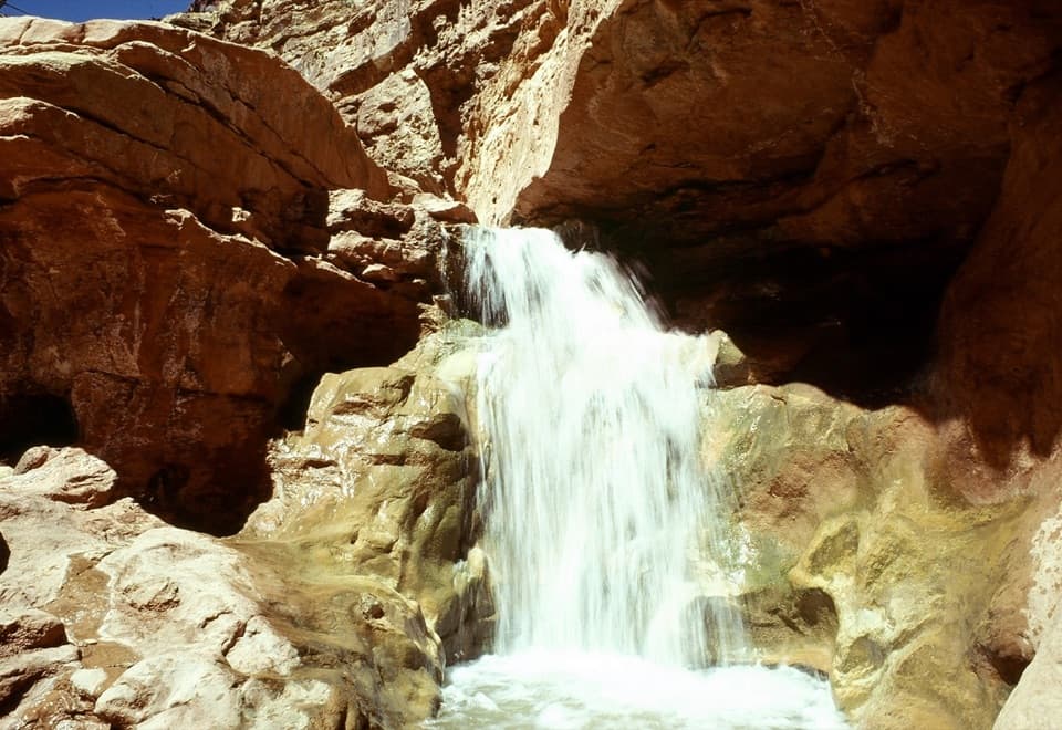 ChallengingSulphur Creek Route5.8 mi · 4.5 hr · 1.4 mi awayThree waterfalls and creek crossings make this a hands-on canyon hike.
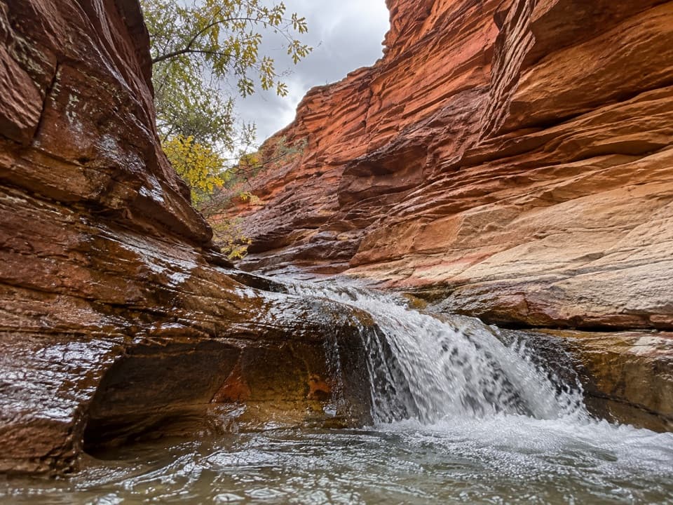 ModerateSulphur Creek Waterfall Hike1.4 mi · 1.5 hr · 2 mi awayFollow a desert creek upstream to a waterfall below red rock walls.
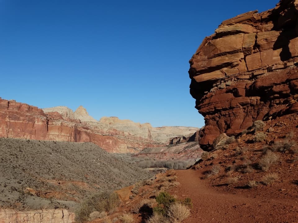 ModerateFremont River Trail2 mi · 1.5 hr · 2.8 mi awayRiver walk, a steep climb, and broad views over Fruita.
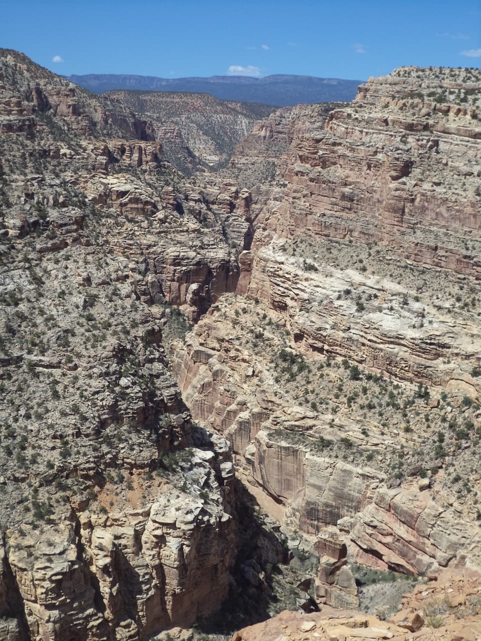 ChallengingFremont Gorge Overlook Trail4.6 mi · 3 hr · 2.9 mi awayA mesa climb ends above the Fremont River, 800 feet below.
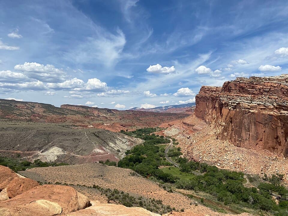 ModerateCohab Canyon Trail1.7 mi · 1.5 hr · 3 mi awayA steep Fruita climb opens into a sculpted sandstone canyon.
 Sight · 0.1 mi awayGoosenecks OverlookQuick access to Sulphur Creek's tight turns.
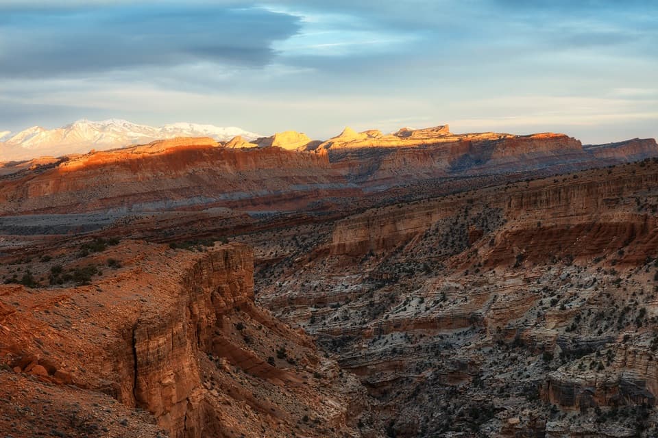 Sight · 0.2 mi awaySunset PointA short walk to sunset color on the Waterpocket Fold.
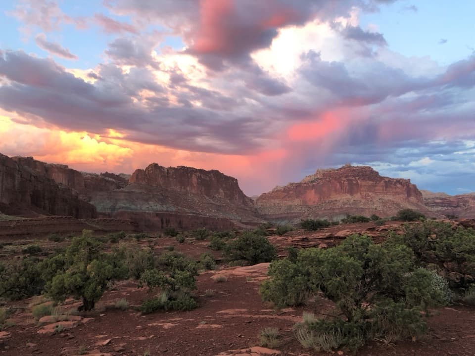 Sight · 0.5 mi awayPanorama PointA 360-degree red-rock view after one very short walk.
 Sight · 1.1 mi awayFluted Wall ViewpointA quick roadside stop for the Moenkopi’s fluted red wall.
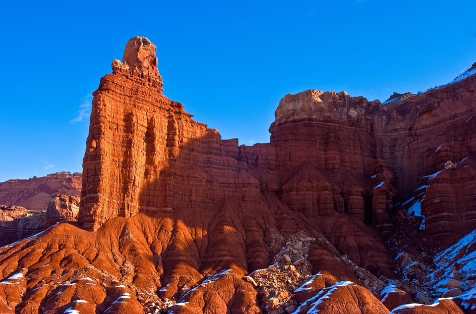 Sight · 1.1 mi awayChimney RockA capped red-rock tower beside the road, with a strenuous loop.
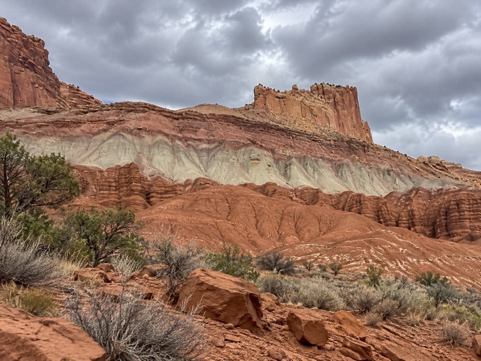 Sight · 1.4 mi awayThe Castle ViewpointA sandstone bluff cut free by erosion’s own moat.
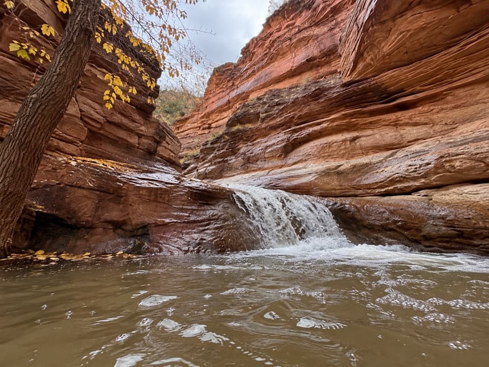 Sight · 1.5 mi awayLower Sulphur Creek WaterfallA short creek walk ends at a small waterfall.
 Sight · 1.6 mi awayNavajo KnobsClimb high above Fruita for a 360-degree view of the Waterpocket Fold
Parkwolf’s Capitol Reef ranking
The audio tour guide for the drive, plus offline maps, trails, and wildlife heatmaps for when the signal drops.





