Parking
Use the signed Chimney Rock Trailhead turnout on UT 24, about three miles west of the visitor center. A restroom is shown at the trailhead. The turnout is small; no signed overflow lot is identified.
Capitol Reef National Park, UT
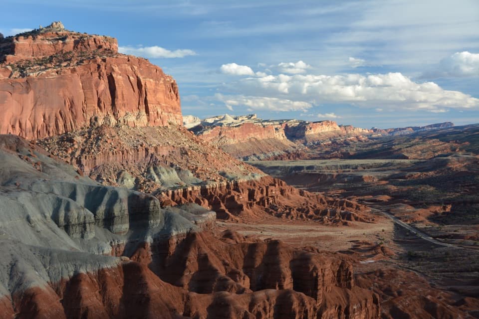
A steep climb opens onto Chimney Rock and Waterpocket Fold views.
Overview
Map & elevation
Plan your hike

The highest, rockiest slopes around here are a summer buffet for grizzly bears.
Capitol Reef Tour Guide
Parkwolf is a GPS audio tour guide for Capitol Reef National Park. As you drive, it chimes in with what’s ahead: hidden gems, upcoming stops, history, geology, and wildlife, right through your car’s speakers.
See the Capitol Reef audio tourRecorded for this trailhead
Chimney Rock“Chimney Rock is coming up, a red, banded pillar with a pale cap beside Highway 24. Use the trailhead turnout for a quick look; you don't need to hike to appreciate the tower.”
Plays as you drive up to this trailhead in the Parkwolf Capitol Reef Tour Guide.
More stories near here in the app
“Fantastic app with many points of information… It’s great to just turn on while you’re driving and it gives you an audio tour of the national Park. We love it!!!!”


Trail guide
Chimney Rock Loop is a 3.6-mile circuit from the UT 24 trailhead, climbing to the rim and circling above the named spire before returning to the same turnout. That distance includes the approach from the road, not just the upper loop. Allow about two to three hours. I’d pick it when you want a real climb and a wide Waterpocket Fold view without giving up a whole day. The ascent comes early; the rest of the circuit keeps you up on the rim.
Hike counterclockwise, as the trail profile shows. At the Chimney Rock Canyon junction, stay on the loop; the canyon route continues away from this circuit.
The first climb is the steepest part. It follows a fault that split and offset the cliff’s rock layers, so the feature you’re climbing beside is part of the story. The tread moves between sand, dirt and rock. The route’s high point sits about 590 feet above its low point, and the open slope offers little shade.
From the upper trail, Chimney Rock stands below the route, with the western edge of the Waterpocket Fold beyond it. Boulder Mountain rises to the southwest; the Henry Mountains and Fruita’s orchards are also visible from parts of the rim. The view keeps changing as the loop bends around the rock, so pause and look back rather than saving every view for one overlook.
Chimney Rock is an outcrop of the roughly 245-million-year-old Moenkopi Formation, capped by harder Shinarump sandstone. That tougher cap helps the narrow spire hold its shape while the softer layers around it wear away. For a photo, frame the rock with the Fold behind it from the upper path. The formations show their colors best near sunset, but don’t stretch the hike into a storm: lightning is a known hazard here.
This is a shade-free hike with a steep opening climb and exposed cliff edges. Summer heat can be rough, and storms bring lightning; keep well back from the edges. There’s no water on the route. Pets aren’t allowed on the trail.
Use the signed Chimney Rock Trailhead turnout, about three miles west of the visitor center. A restroom is shown at the trailhead. The parking area is small, and no signed overflow lot is identified. The loop is a good half-day choice if you’re comfortable climbing in the open.
Wildlife
 50 sightingsBighorn SheepMost seen around 6 PMSighting map
 322 sightingsMule DeerMost seen around 6 PMSighting map
 70 sightingsMarmotMost seen around 7 AMSighting map
 13 sightingsCottontail RabbitMost seen around 7 PMSighting map
 33 sightingsTurkeyMost seen around 6 AMSighting map
 14 sightingsRavenMost seen around 9 AMSighting map
Sighting maps show where each species has been reported across Capitol Reef. Wildlife moves, so no sighting is guaranteed.
Keep exploring
 ChallengingLower Spring Canyon9.7 mi · 6 hr · At the trailheadA long canyon walk with an exposed bypass and river ford.
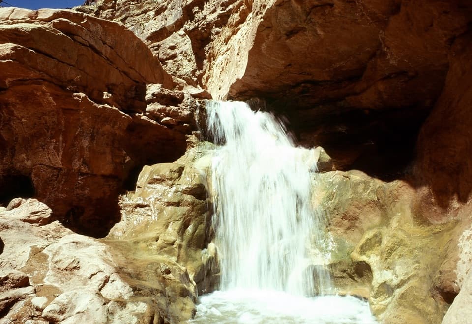 ChallengingSulphur Creek Route5.8 mi · 4.5 hr · 0.3 mi awayThree waterfalls and creek crossings make this a hands-on canyon hike.
 EasySunset Point Trail0.8 mi · 45 min · 1.2 mi awayA short rim walk for sunset over the Waterpocket Fold.
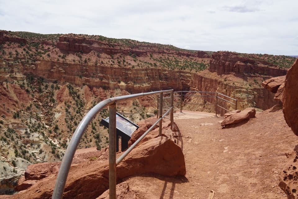 EasyGoosenecks Trail0.2 mi · 15 min · 1.2 mi awayA short walk to Sulphur Creek’s tight canyon bend.
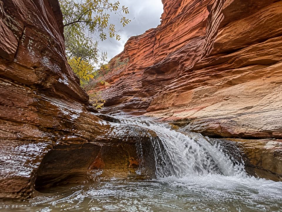 ModerateSulphur Creek Waterfall Hike1.4 mi · 1.5 hr · 2.8 mi awayFollow a desert creek upstream to a waterfall below red rock walls.
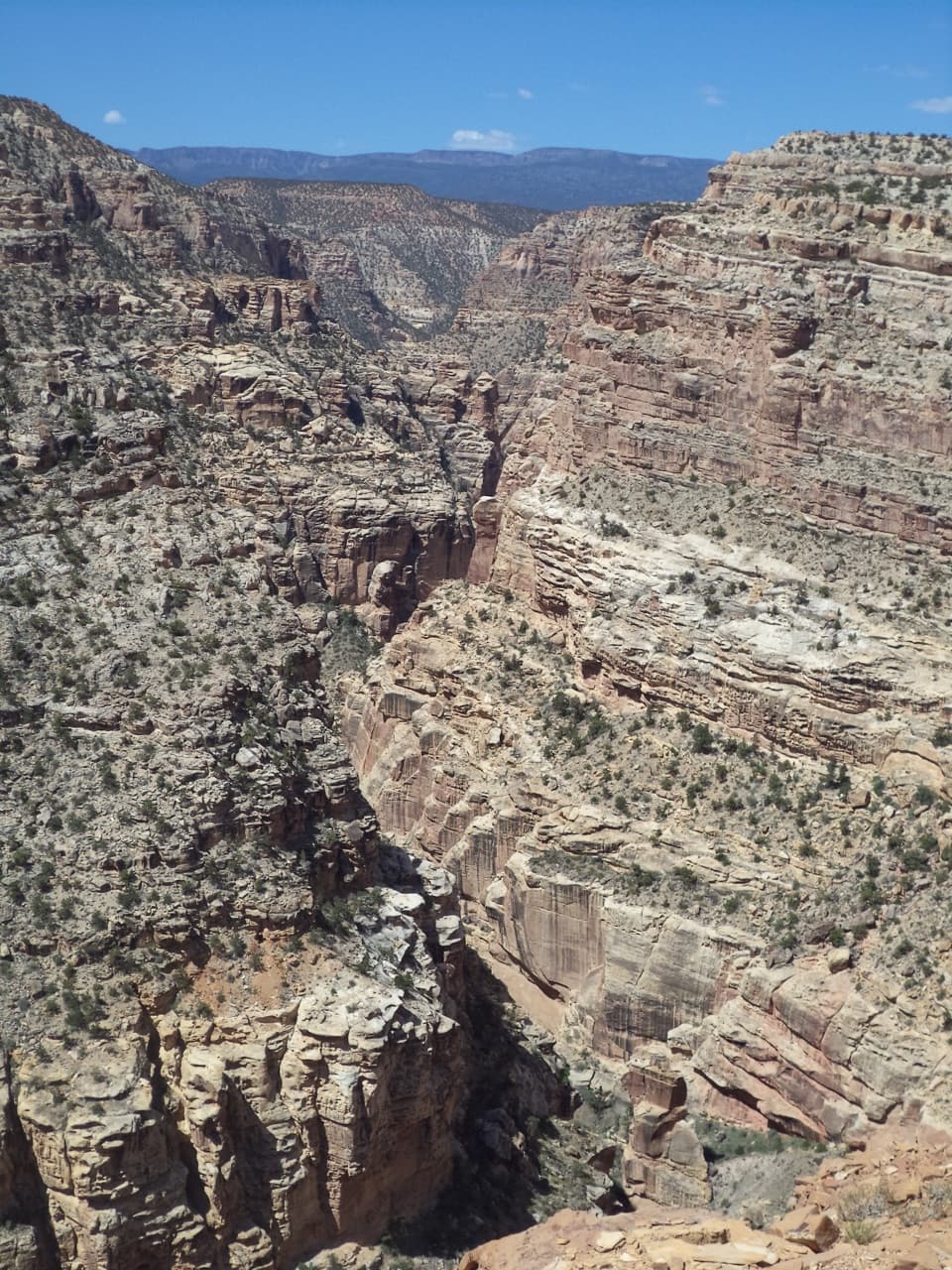 ChallengingFremont Gorge Overlook Trail4.6 mi · 3 hr · 3.7 mi awayA mesa climb ends above the Fremont River, 800 feet below.
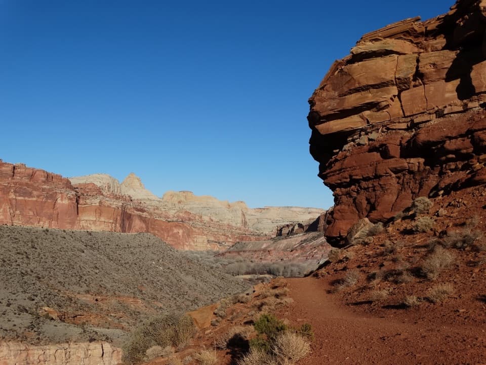 ModerateFremont River Trail2 mi · 1.5 hr · 3.7 mi awayRiver walk, a steep climb, and broad views over Fruita.
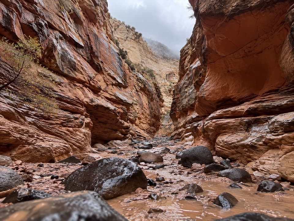 ChallengingUpper Spring Canyon18.7 mi · 16 hr · 3.8 mi awayRemote traverse through Wingate narrows and a boulder filled wash.
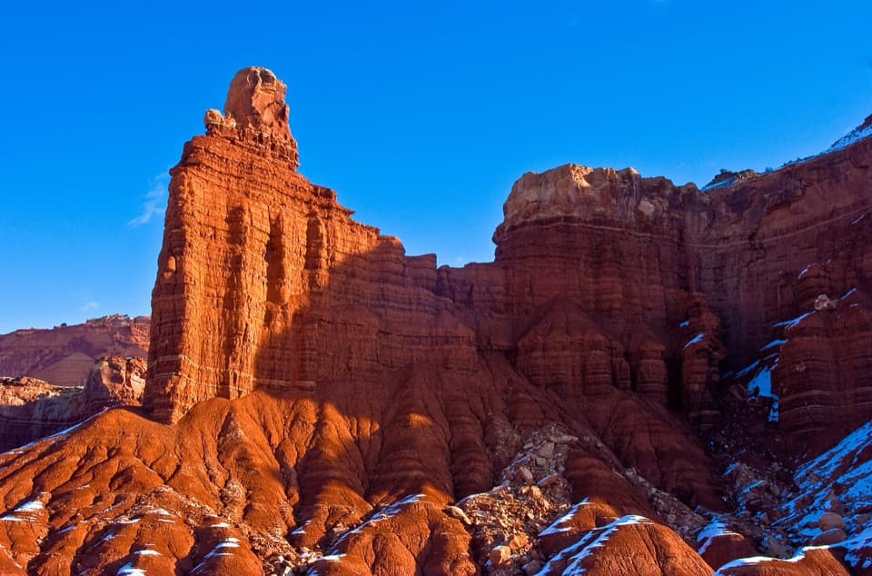 Sight · 0.2 mi awayChimney RockA capped red-rock tower beside the road, with a strenuous loop.
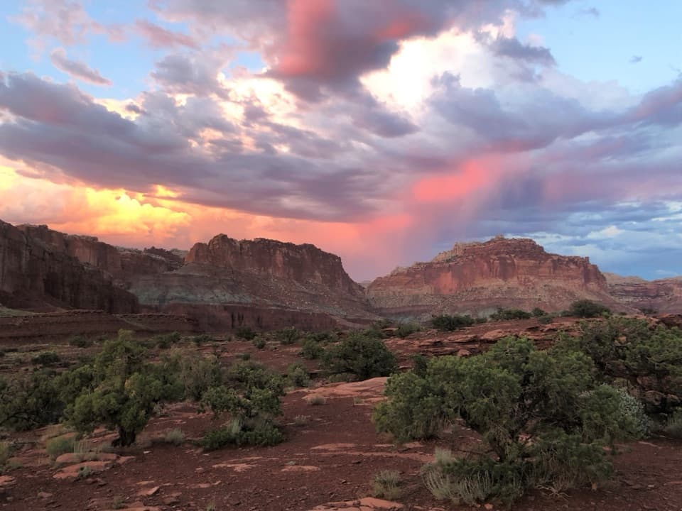 Sight · 0.8 mi awayPanorama PointA 360-degree red-rock view after one very short walk.
 Sight · 1.2 mi awayGoosenecks OverlookQuick access to Sulphur Creek's tight turns.
 Sight · 1.4 mi awayFluted Wall ViewpointA quick roadside stop for the Moenkopi’s fluted red wall.
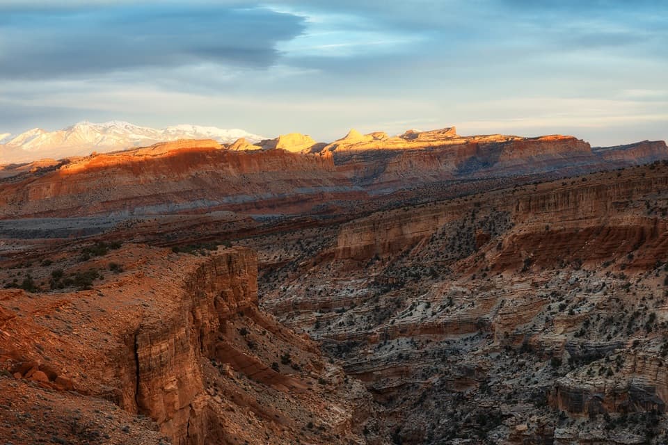 Sight · 1.4 mi awaySunset PointA short walk to sunset color on the Waterpocket Fold.
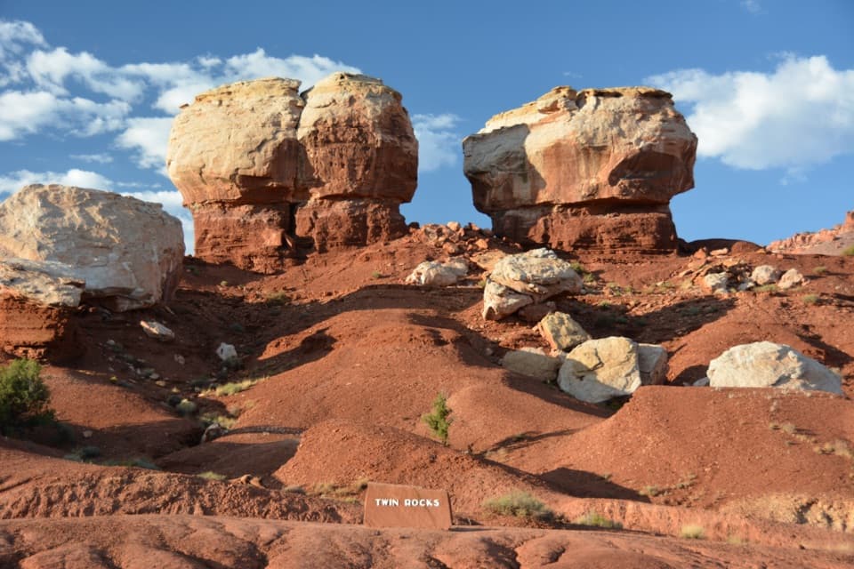 Sight · 1.9 mi awayTwin Rocks ViewpointA quick stop for two pale caps and their shrinking red pedestals.
 Sight · 2 mi awayNavajo KnobsClimb high above Fruita for a 360-degree view of the Waterpocket Fold
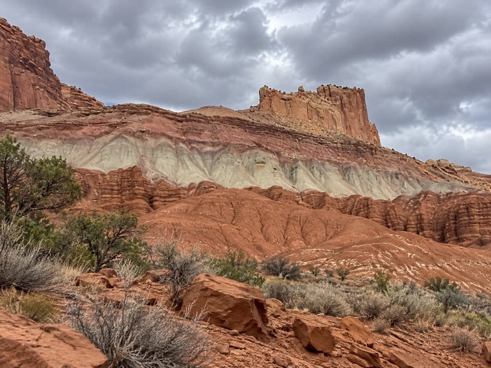 Sight · 2.1 mi awayThe Castle ViewpointA sandstone bluff cut free by erosion’s own moat.
Parkwolf’s Capitol Reef ranking

The audio tour guide for the drive, plus offline maps, trails, and wildlife heatmaps for when the signal drops.





