Parking
Start at the signed Chimney Rock parking area, about 3 miles west of the visitor center on UT-24. The exit is at unmarked pullouts near milepost 83, east of the visitor center. Arrange a shuttle; walking back adds 6.6 miles along Highway 24.

Capitol Reef National Park, UT
A long canyon walk with an exposed bypass and river ford.
Overview
Map & elevation
Plan your hike

The highest, rockiest slopes around here are a summer buffet for grizzly bears.
Capitol Reef Tour Guide
Parkwolf is a GPS audio tour guide for Capitol Reef National Park. As you drive, it chimes in with what’s ahead: hidden gems, upcoming stops, history, geology, and wildlife, right through your car’s speakers.
See the Capitol Reef audio tourRecorded for this trailhead
Chimney Rock“Chimney Rock is coming up, a red, banded pillar with a pale cap beside Highway 24. Use the trailhead turnout for a quick look; you don't need to hike to appreciate the tower.”
Plays as you drive up to this trailhead in the Parkwolf Capitol Reef Tour Guide.
More stories near here in the app
“Fantastic app with many points of information… It’s great to just turn on while you’re driving and it gives you an audio tour of the national Park. We love it!!!!”


Trail guide
Lower Spring Canyon is a 9.7-mile, one-way route from Chimney Rock parking to the Fremont River, dropping through Chimney Rock Canyon into the long, winding lower canyon. Allow five to seven hours. This is strenuous backcountry hiking, not a maintained trail, so a map, GPS, and strong route-finding are part of the hike; don't assume the cairns will be there. Arrange a pickup or shuttle at the river end before you start. The trail line ends at the river, and reaching Highway 24 means a ford.
You start by climbing the Chimney Rock switchbacks. At the top, keep to the left, northerly side of the loop; this avoids the southern approach and meets the signed Chimney Rock Canyon route after about 0.9 mile. Follow that canyon for 1.5 miles to Spring Canyon. Three large side canyons join from the left before the junction, where the walls open up. Continue straight and east down Spring Canyon.
Roughly a mile below the junction are two dry falls, each 10 to 15 feet, in a narrow section. The route goes around them on a hiker-made path on the north, or left, side. This is a steep, loose bypass with about 100 feet of severe exposure. It can be treacherous when wet, snowy, or icy; if you're uncomfortable with exposure or the ground is slick, turn around before reaching it. There is no maintained path through these obstacles.
Beyond the bypass, the route keeps to the canyon floor for miles. The wash winds between tall Wingate cliffs and pale Navajo domes, alternating close walls with wider views across side draws. Route-finding gets harder where the canyon floor splits; cairns are unofficial and can be missing or misleading. There is no dependable water. A possible spring is noted several miles in, but it may be dry, and brief pools can disappear into the sand. This is a point-to-point crossing, not a hike to a destination and back.
The color contrast is part of the geology: hard red Wingate sandstone builds sheer walls, while paler Navajo sandstone tends to round into domes. About halfway through, look for an unnamed arch on the left skyline; it isn't marked on the map. At the broad Spring Canyon confluence, a low angle with the wash in front of the walls gives a good sense of scale. Don't stop on the exposed bypass for photos; watch your footing.
At the canyon mouth, you must ford the Fremont River; there is no bridge, and depth changes with flow. It is often thigh-deep, but flood water can be swift and carry debris. Avoid narrow canyons when storms threaten; flash-flood season typically runs July through September, and summer heat can be punishing. Spring and fall are the better seasons. The Highway 24 exit uses unmarked pullouts near milepost 83, east of the visitor center. Without a shuttle, the return walk along the highway to Chimney Rock adds 6.6 miles, making 16.3 miles total. Overnight trips require a free backcountry permit; pets aren't allowed on this route.
Wildlife
 50 sightingsBighorn SheepMost seen around 6 PMSighting map
 322 sightingsMule DeerMost seen around 6 PMSighting map
 70 sightingsMarmotMost seen around 7 AMSighting map
 13 sightingsCottontail RabbitMost seen around 7 PMSighting map
 33 sightingsTurkeyMost seen around 6 AMSighting map
 14 sightingsRavenMost seen around 9 AMSighting map
Sighting maps show where each species has been reported across Capitol Reef. Wildlife moves, so no sighting is guaranteed.
Keep exploring
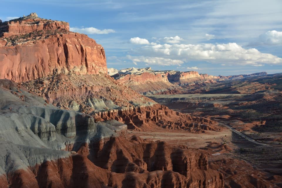 ChallengingChimney Rock Loop3.6 mi · 2.5 hr · At the trailheadA steep climb opens onto Chimney Rock and Waterpocket Fold views.
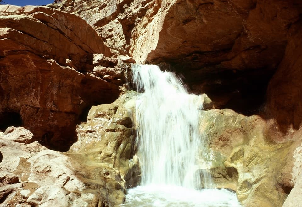 ChallengingSulphur Creek Route5.8 mi · 4.5 hr · 0.3 mi awayThree waterfalls and creek crossings make this a hands-on canyon hike.
 EasySunset Point Trail0.8 mi · 45 min · 1.2 mi awayA short rim walk for sunset over the Waterpocket Fold.
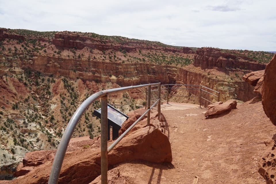 EasyGoosenecks Trail0.2 mi · 15 min · 1.2 mi awayA short walk to Sulphur Creek’s tight canyon bend.
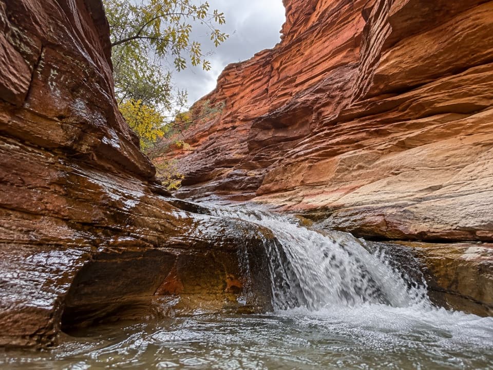 ModerateSulphur Creek Waterfall Hike1.4 mi · 1.5 hr · 2.8 mi awayFollow a desert creek upstream to a waterfall below red rock walls.
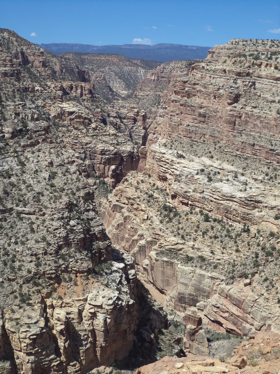 ChallengingFremont Gorge Overlook Trail4.6 mi · 3 hr · 3.7 mi awayA mesa climb ends above the Fremont River, 800 feet below.
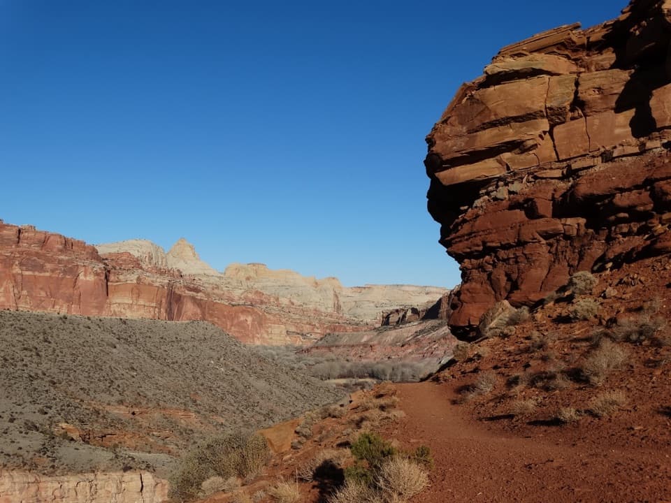 ModerateFremont River Trail2 mi · 1.5 hr · 3.7 mi awayRiver walk, a steep climb, and broad views over Fruita.
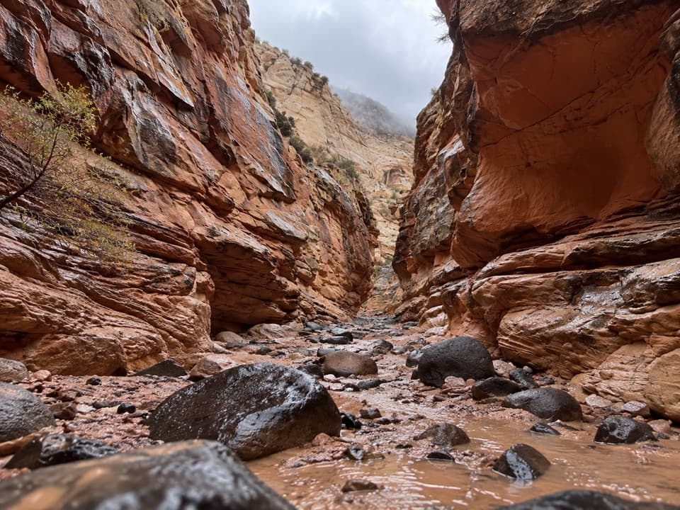 ChallengingUpper Spring Canyon18.7 mi · 16 hr · 3.8 mi awayRemote traverse through Wingate narrows and a boulder filled wash.
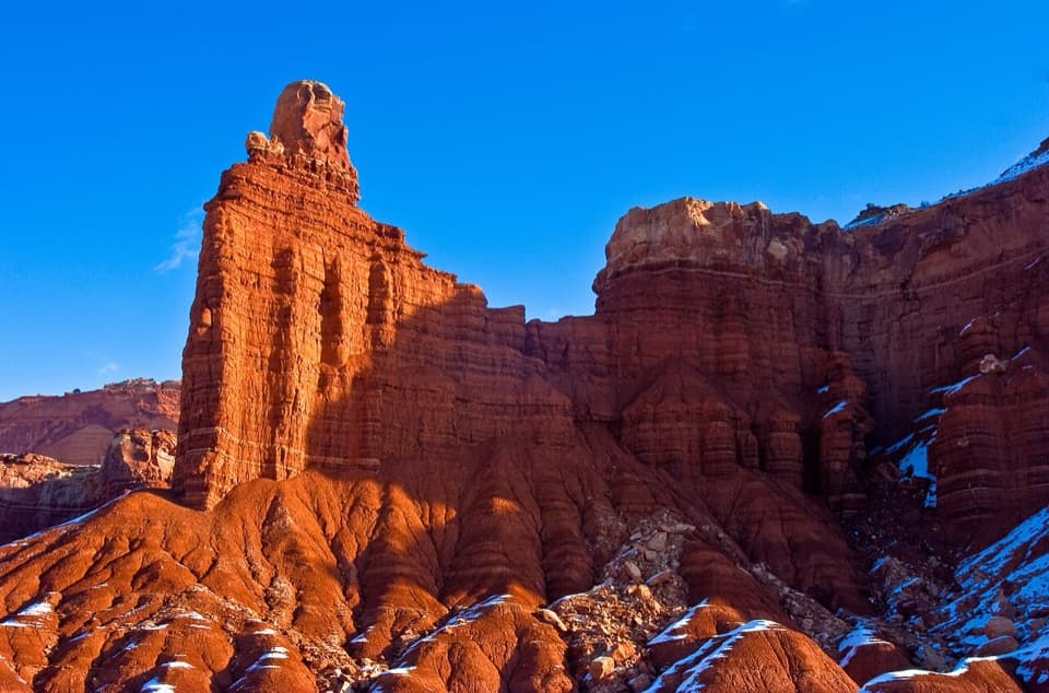 Sight · 0.2 mi awayChimney RockA capped red-rock tower beside the road, with a strenuous loop.
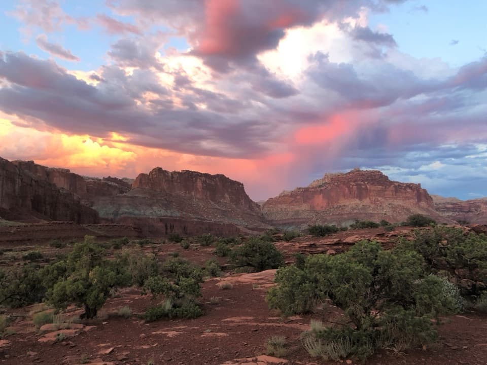 Sight · 0.8 mi awayPanorama PointA 360-degree red-rock view after one very short walk.
 Sight · 1.2 mi awayGoosenecks OverlookQuick access to Sulphur Creek's tight turns.
 Sight · 1.4 mi awayFluted Wall ViewpointA quick roadside stop for the Moenkopi’s fluted red wall.
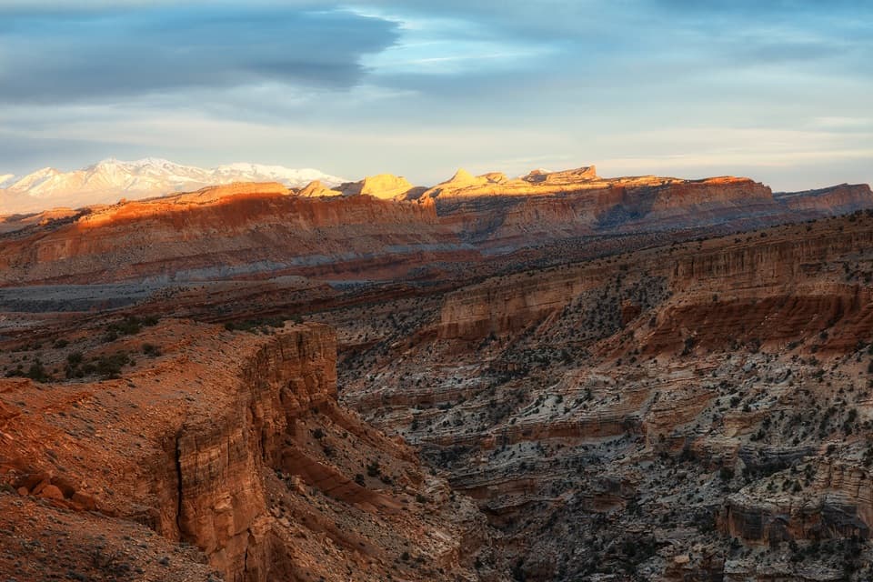 Sight · 1.4 mi awaySunset PointA short walk to sunset color on the Waterpocket Fold.
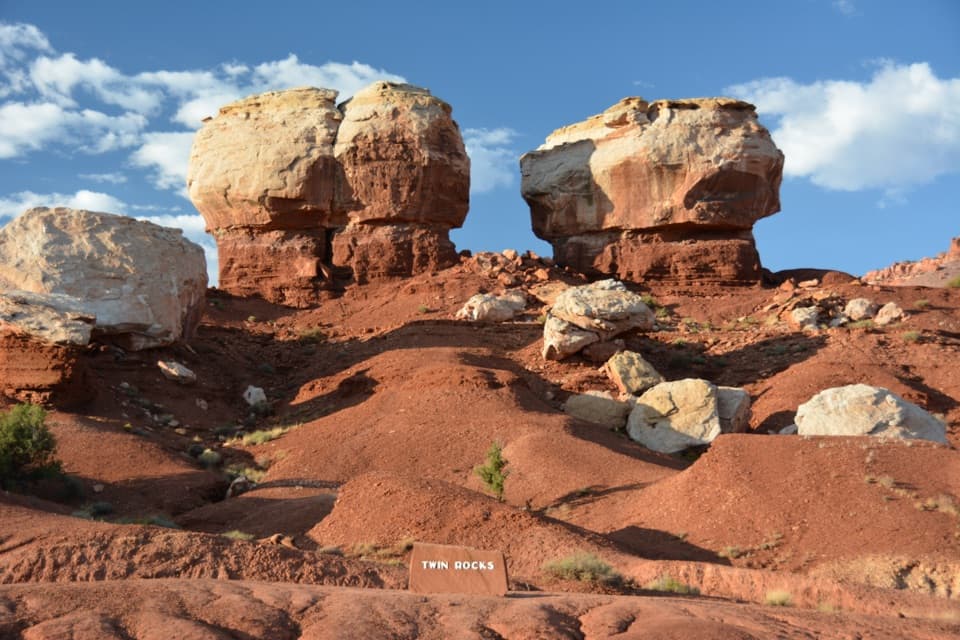 Sight · 1.9 mi awayTwin Rocks ViewpointA quick stop for two pale caps and their shrinking red pedestals.
 Sight · 2 mi awayNavajo KnobsClimb high above Fruita for a 360-degree view of the Waterpocket Fold
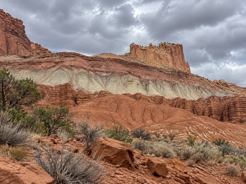 Sight · 2.1 mi awayThe Castle ViewpointA sandstone bluff cut free by erosion’s own moat.
Parkwolf’s Capitol Reef ranking

The audio tour guide for the drive, plus offline maps, trails, and wildlife heatmaps for when the signal drops.





