Oyler Mine Viewpoint in Capitol Reef National Park

Sight · Capitol Reef National Park

Oyler Mine Viewpoint

A quick roadside pause for Capitol Reef's uranium story.

Photo: Wikimedia Commons
Type
Sight
Nearest trail
0.9 mi
Audio stories
7 nearby
  • Parking
  • Scenic viewpoint

Hear the audio tour

Oyler Mine Viewpoint

Overview

About Oyler Mine Viewpoint

Why stop

  • An easy way to connect Grand Wash scenery with local mining history

Heads up

  • A brief roadside stop with little to do beyond the panel and view

Map

Where it is

Loading the Capitol Reef map
Full map
SightOyler Mine Viewpoint38.25812, -111.23160
Keep this map with you offline in the Parkwolf app

Plan your stop

Before you go

2 active Capitol Reef alerts

  • CautionFlash-flood hazard in canyons and washesHeavy rains can cause sudden flooding in Capitol Reef’s canyons and washes; do not hike or drive through floodwater.Official details
  • CautionE. coli advisory for Fremont River and Sulphur CreekDo not swim in the Fremont River or Sulphur Creek or get water in your mouth: NPS reports elevated E. coli in both waterways, and Utah DEQ has issued a warning advisory. - DEQ reports Sulphur Creek E.Official details

Capitol Reef alerts
A park ranger sits on a dash-mounted phone, talking, as Parkwolf’s Tour Guide plays “Army Cutworm Moths: A Grizzly Bear Buffet” on Grand Loop Road below Dunraven Pass in Yellowstone
Parkwolf Tour GuideThe highest, rockiest slopes around here are a summer buffet for grizzly bears.

Capitol Reef Tour Guide

Your drive to Oyler Mine Viewpoint, narrated.

Parkwolf is a GPS audio tour guide for Capitol Reef National Park. As you drive, it chimes in with what’s ahead: hidden gems, upcoming stops, history, geology, and wildlife, right through your car’s speakers.

See the Capitol Reef audio tour

Recorded for this place

Oyler Mine Viewpoint
0:00 / 0:25
“You're coming up on Oyler Mine Viewpoint at the mouth of Grand Wash.”

Plays as you drive up to Oyler Mine Viewpoint in the Parkwolf Capitol Reef Tour Guide.

More stories near here in the app

  • When the Desert Was a Swamp
  • Cassidy Arch
  • The Bighorns Came Back
  • Fruita Campground and Fremont River
  • 116 audio storiesacross Capitol Reef’s roads, triggered by GPS as you drive
  • Wildlife heatmapsfor Bighorn Sheep, Mule Deer, Marmot, and 13 more
  • Works offlinemaps, 48 trails, 52 places, and audio download before you lose signal
  • CarPlay readysimple controls built for the drive
★★★★★
“Fantastic app with many points of information… It’s great to just turn on while you’re driving and it gives you an audio tour of the national Park. We love it!!!!”
JMJamesApp Store review
Download Parkwolf on the App StoreGet Parkwolf on Google Play

4.7 from 8,600+ ratings

Guide

More about Oyler Mine Viewpoint

A quick stop at Grand WashOyler Mine Viewpoint is a small interpretive stop on Capitol Reef's paved Scenic Drive, where…

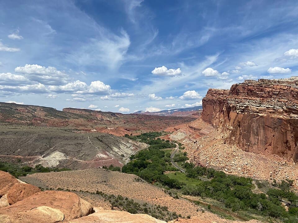
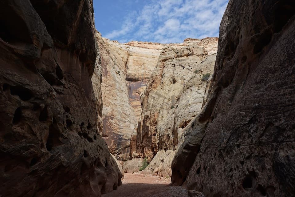
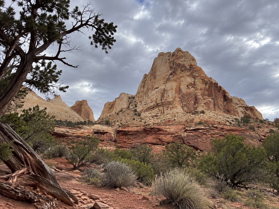
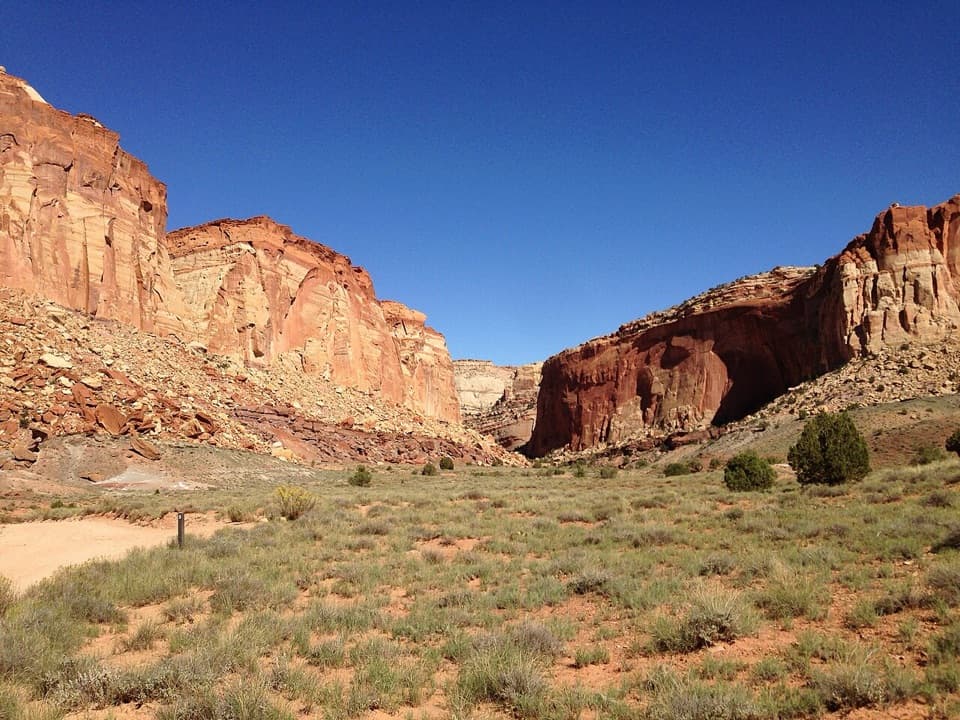
Oyler Mine Viewpoint is a small interpretive stop on Capitol Reef's paved Scenic Drive, where the road reaches the mouth of Grand Wash. It marks the area's abandoned uranium mine. This is a pause to read the panel and take in the canyon scenery, not a hike or a visit to the mine. For a photo, include the small roadside Stop 3 marker against the layered walls from the public pullout.

Keep to the public stopUse the surface pullout and stay at the public viewing area; don't enter or approach the…

Use the surface pullout and stay at the public viewing area; don't enter or approach the abandoned workings. The National Park Service warns of radiation and other hazards. The Scenic Drive is paved and suitable for passenger vehicles. Snow, ice, mud, and flash floods can close the drive or its spur roads, so check conditions before setting out.

A small mining storyProspectors were looking for uranium here in the early 1900s, when the mineral was used in…

Prospectors were looking for uranium here in the early 1900s, when the mineral was used in patent medicines. Very little uranium was found, so this was a modest prospect rather than a major producer.

Rock layers tell an older storyYellow-gray Shinarump Conglomerate formed as fast braided rivers carried and deposited stones…

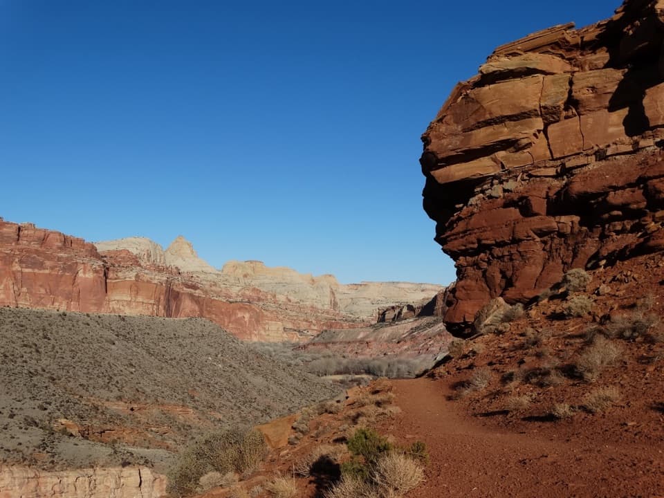
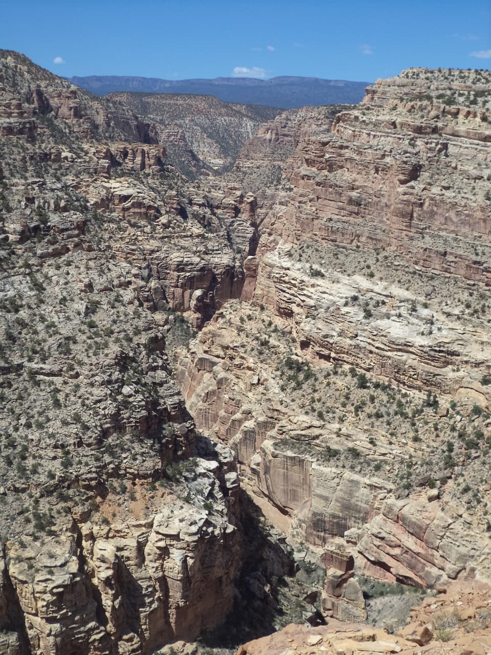
Yellow-gray Shinarump Conglomerate formed as fast braided rivers carried and deposited stones and pebbles. Above it, gray-green Chinle rock records oxygen-poor swamps in a tropical landscape about 215 million years ago. Higher orange and burgundy layers mark the return of oxygen-rich river settings. The sequence gives the canyon walls their changing colors and records different ancient environments.

Wildlife

Wildlife in Capitol Reef

All Capitol Reef wildlife maps

Sighting maps show where each species has been reported across Capitol Reef. Wildlife moves, so no sighting is guaranteed.

Keep exploring

Near Oyler Mine Viewpoint

See it all on the map

Trails nearby

More stops nearby

Parkwolf’s Capitol Reef ranking

Top sights in Capitol Reef

All 52 places
  1. 1Hickman BridgeSight
  2. 2Gifford HomesteadSight
  3. 3Fremont PetroglyphsSight
  4. 4Cassidy ArchSight
  5. 5Temples of the Sun and MoonSight
  6. 6Fruita OrchardsSight

Take Parkwolf to Capitol Reef.

The audio tour guide for the drive, plus offline maps, trails, and wildlife heatmaps for when the signal drops.

4.7 from 8,600+ ratings

Download Parkwolf on the App StoreGet Parkwolf on Google Play