World War II Army Camp and Radar Post in Channel Islands National Park

Sight · Channel Islands National Park

World War II Army Camp and Radar Post

A WWII radar outpost leaves a star-shaped flagstaff base in concrete.

Type
Sight
Nearest trail
3.5 mi
  • Exhibit

Overview

About World War II Army Camp and Radar Post

Why stop

  • A 10-foot concrete star preserves a 1943 date and unit names.

Heads up

  • The remains are scattered, and the exact visitor approach is unclear.

Map

Where it is

Loading the Channel Islands map
Full map
SightWorld War II Army Camp and Radar Post33.96440, -120.07913
Keep this map with you offline in the Parkwolf app

Plan your stop

Before you go

2 active Channel Islands alerts

  • ClosureSanta Rosa Island wildfire-recovery closuresMentions Santa Rosa Island, referenced in this guideBurned areas on Santa Rosa Island remain closed during wildfire recovery, and Southeast Quadrant backcountry beach camping is closed for the remainder of the 2026 recreation season.Official details
  • InfoSanta Barbara Island dock closed; landings restrictedThe Santa Barbara Island dock is closed; land only on the adjacent rocky ledge.Official details

Channel Islands alerts
A park ranger sits on a dash-mounted phone, talking, as Parkwolf’s Tour Guide plays “Army Cutworm Moths: A Grizzly Bear Buffet” on Grand Loop Road below Dunraven Pass in Yellowstone
Parkwolf Tour GuideThe highest, rockiest slopes around here are a summer buffet for grizzly bears.

Channel Islands Tour Guide

Your drive to World War II Army Camp and Radar Post, narrated.

Parkwolf is a GPS audio tour guide for Channel Islands National Park. As you drive, it chimes in with what’s ahead: hidden gems, upcoming stops, history, geology, and wildlife, right through your car’s speakers.

See the Channel Islands audio tour
  • 16 audio storiesacross Channel Islands’s roads, triggered by GPS as you drive
  • Wildlife heatmapsfor Island Fox, Humpback Whale, Blue Whale, and 13 more
  • Works offlinemaps, 48 trails, 75 places, and audio download before you lose signal
  • CarPlay readysimple controls built for the drive
★★★★★
“Fantastic app with many points of information… It’s great to just turn on while you’re driving and it gives you an audio tour of the national Park. We love it!!!!”
JMJamesApp Store review
Download Parkwolf on the App StoreGet Parkwolf on Google Play

4.7 from 8,600+ ratings

Guide

More about World War II Army Camp and Radar Post

A scattered defense siteWorld War II Army Camp and Radar Post is the remains of a 1943 coastal-defense installation on…

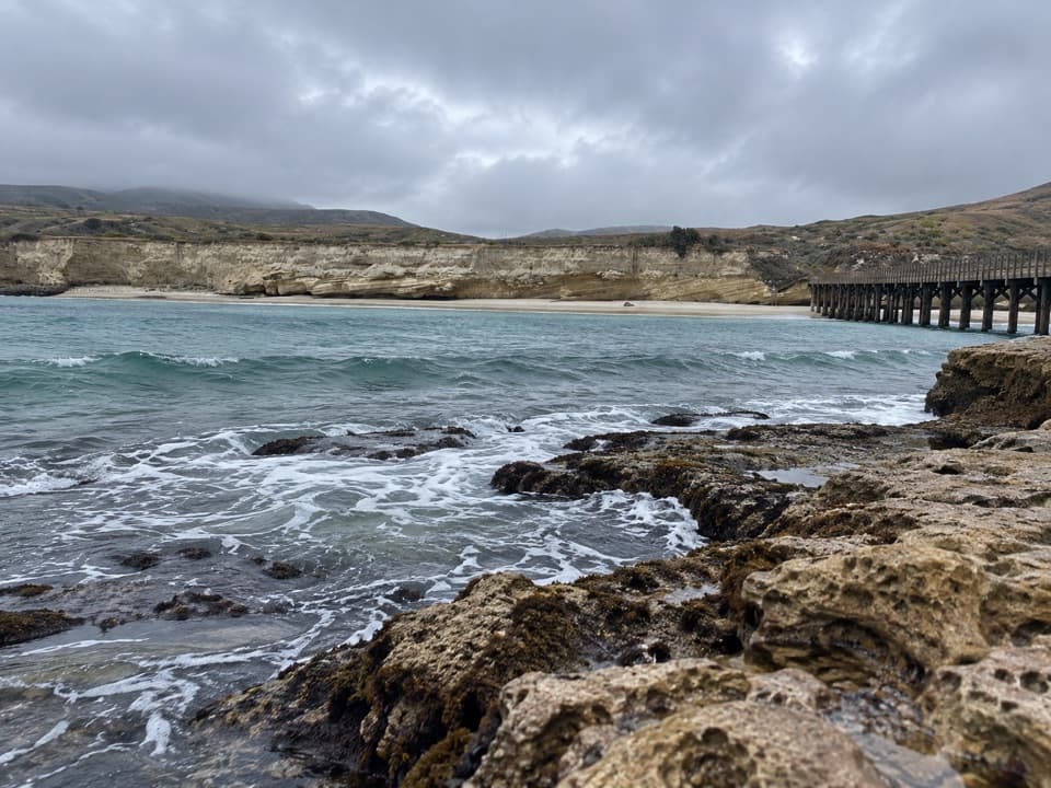
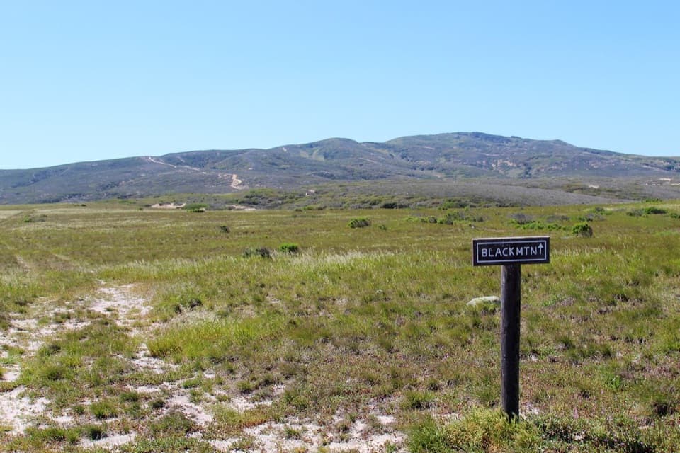
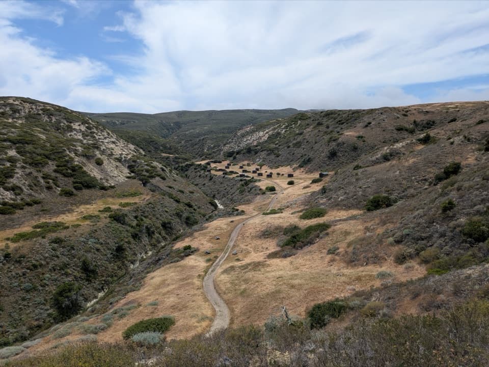
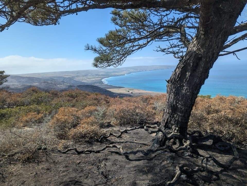
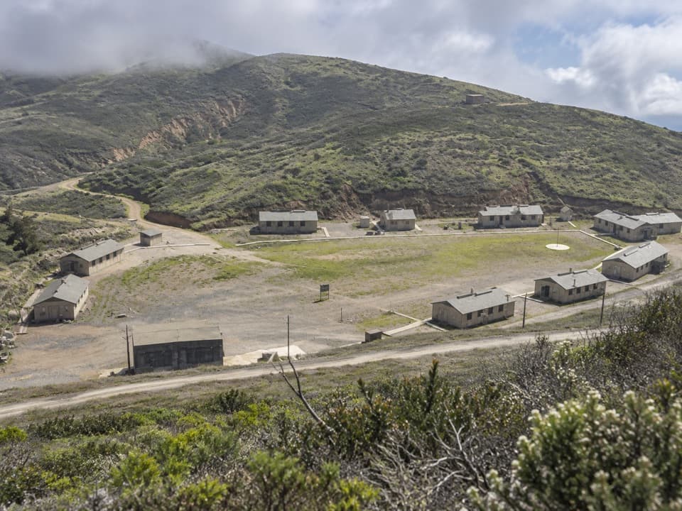
World War II Army Camp and Radar Post is the remains of a 1943 coastal-defense installation on Santa Rosa Island. It was a group of places, not one intact base: the housing camp stood near Pecho Peak, the radar post near South Point, and storage buildings and a barrack were at Bechers Bay. Come for an unusual wartime story and traces in the island landscape, rather than restored buildings.

Built to watch the coastThe Army built the installation as Pacific coast warning posts expanded during World War II.

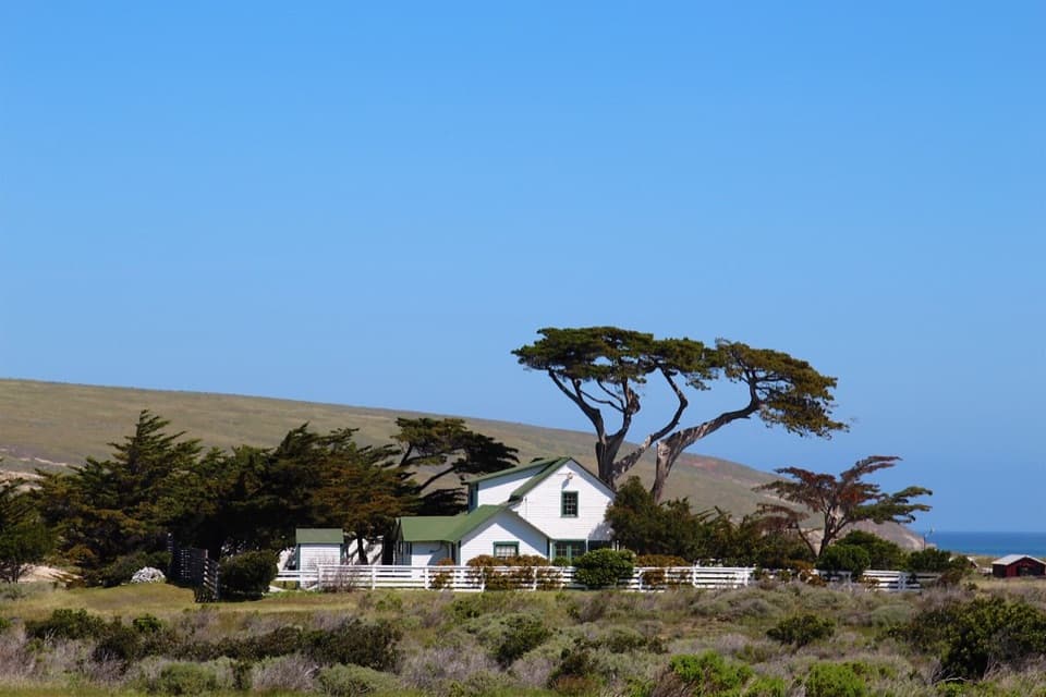
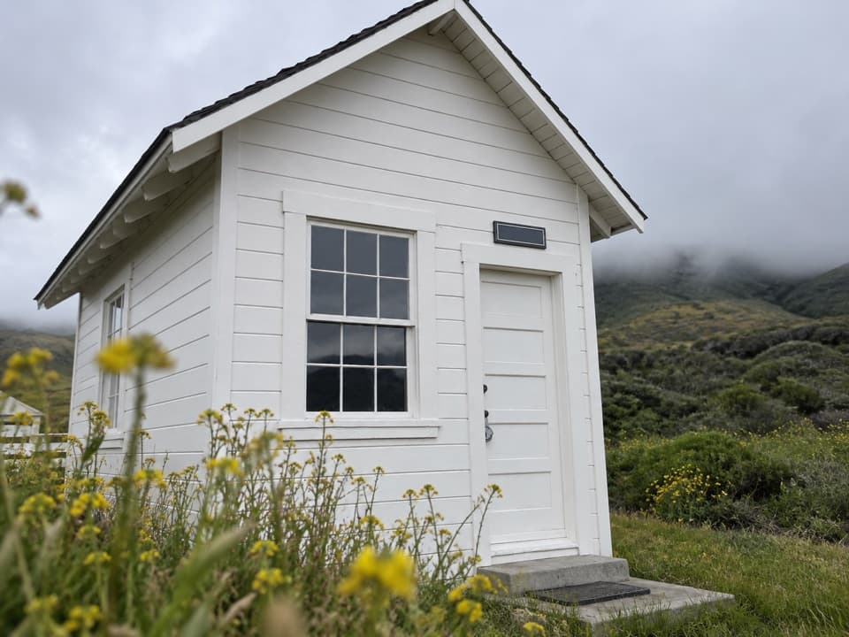
The Army built the installation as Pacific coast warning posts expanded during World War II. The housing and operations camp had 16 wood-frame buildings, including seven barracks, a mess hall, a bathhouse, repair and generator buildings, storage sheds, and a pit latrine. A separate radar area included a buried five-room concrete operations building. A water system lifted water from upper Water Canyon to a tank that supplied the camp by gravity.

A clue in concreteA 10-foot, star-shaped concrete flagstaff base carries the date 26 August 1943 and the names of…

A 10-foot, star-shaped concrete flagstaff base carries the date 26 August 1943 and the names of two Army and Signal Corps detachments. Its inscription is the clearest clue to who occupied the outpost. The small radar crew ran a forward warning system; the military police unit's other work is uncertain, though training and general protection are possible.

Plan the detourThe ruins are associated with Soledad Road toward Johnsons Lee, but the exact visitor approach…

The ruins are associated with Soledad Road toward Johnsons Lee, but the exact visitor approach to each scattered part is not clearly mapped. Treat this as a planned island stop, not a quick roadside pullout: confirm the current road and trail map, and bring the food and water you need before setting out. No camp-specific food service or restroom was identified.

Wildlife

Wildlife in Channel Islands

All Channel Islands wildlife maps

Sighting maps show where each species has been reported across Channel Islands. Wildlife moves, so no sighting is guaranteed.

Keep exploring

Near World War II Army Camp and Radar Post

See it all on the map

Trails nearby

More stops nearby

Parkwolf’s Channel Islands ranking

Top sights in Channel Islands

All 75 places
  1. 1Inspiration PointSight
  2. 2Scorpion Anchorage and BeachBeach
  3. 3Arch RockSight
  4. 4Potato Harbor OverlookSight
  5. 5Painted CaveSight
  6. 6Cavern PointSight

Take Parkwolf to Channel Islands.

The audio tour guide for the drive, plus offline maps, trails, and wildlife heatmaps for when the signal drops.

4.7 from 8,600+ ratings

Download Parkwolf on the App StoreGet Parkwolf on Google Play