Shepperd’s Dell Falls in Columbia River Gorge National Scenic Area

Sight · Columbia River Gorge National Scenic Area

Shepperd’s Dell Falls

A quick bridge-and-falls stop, with steps to a cascade view.

Photo: Ian Sane / Flickr (CC BY 2.0)

Type
Sight
Nearest trail
0.9 mi
Audio stories
11 nearby
  • Parking

Hear the audio tour

Shepperd's Dell Falls
Download Parkwolf on the App StoreGet Parkwolf on Google Play

4.7 from 8,600+ ratings

Overview

About Shepperd’s Dell Falls

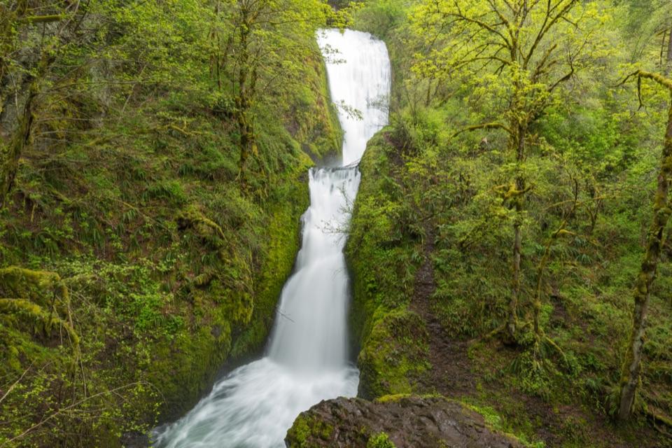
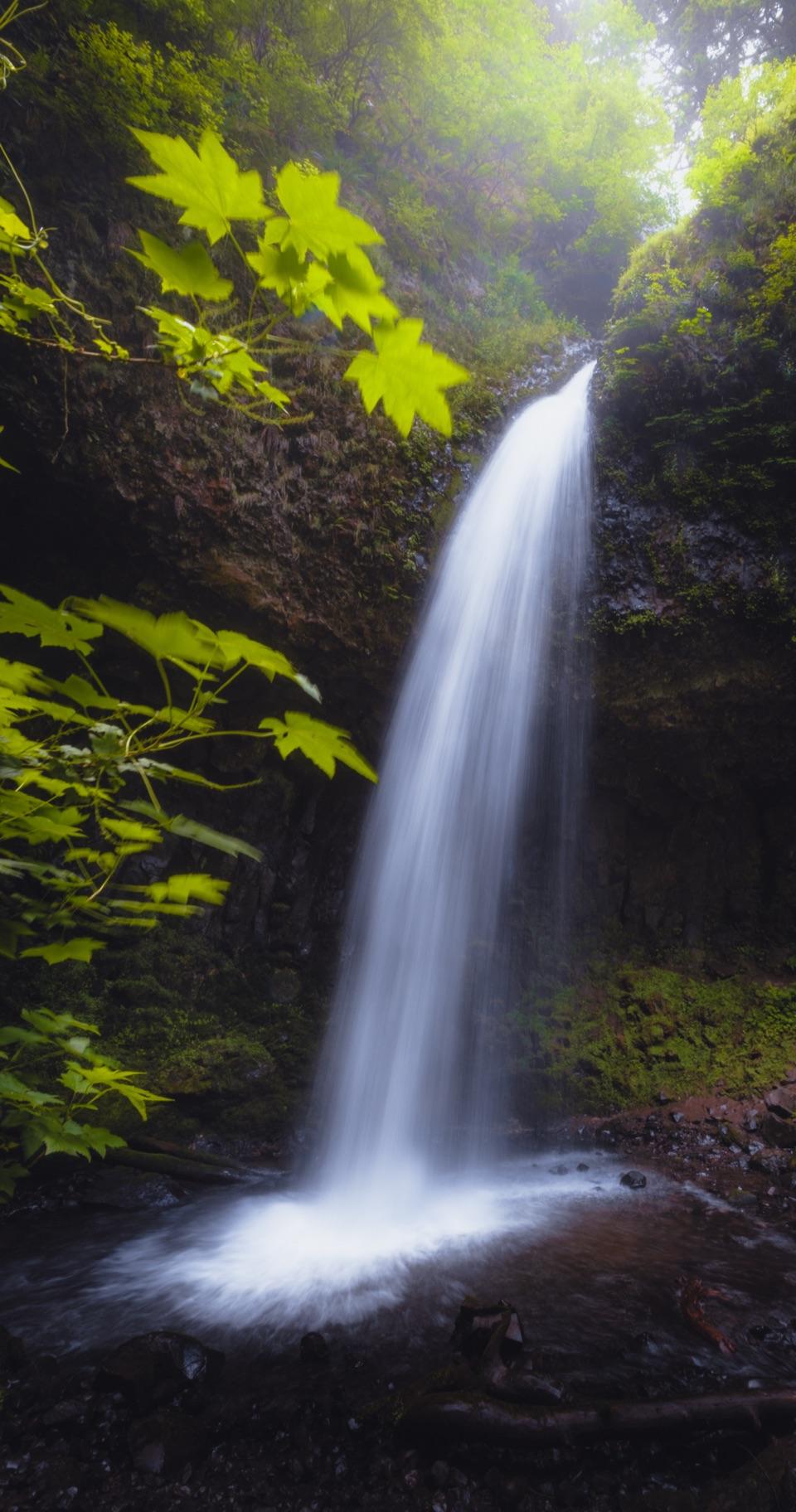
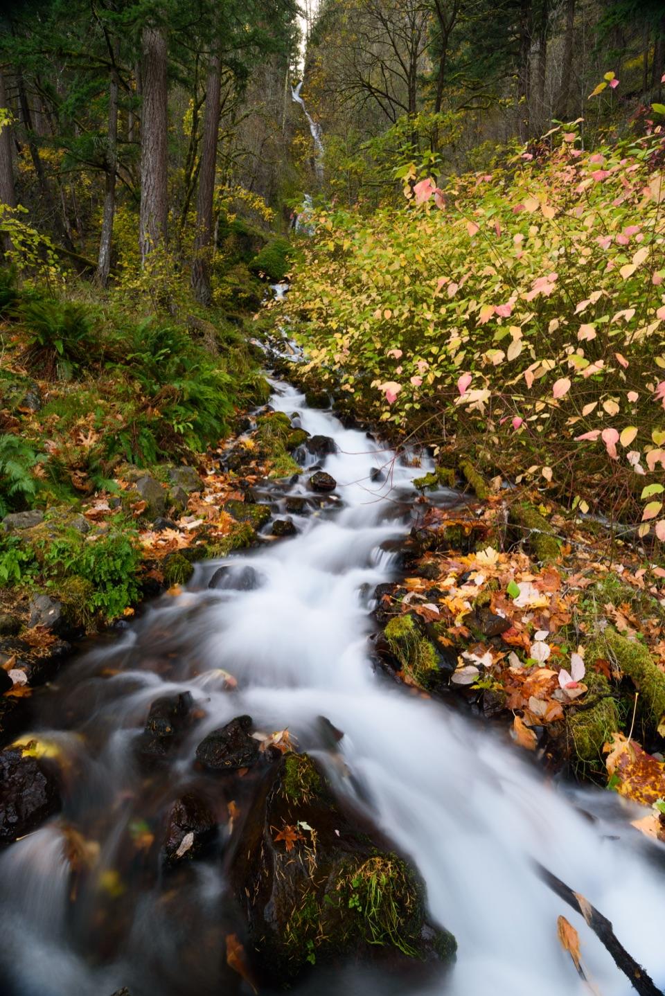
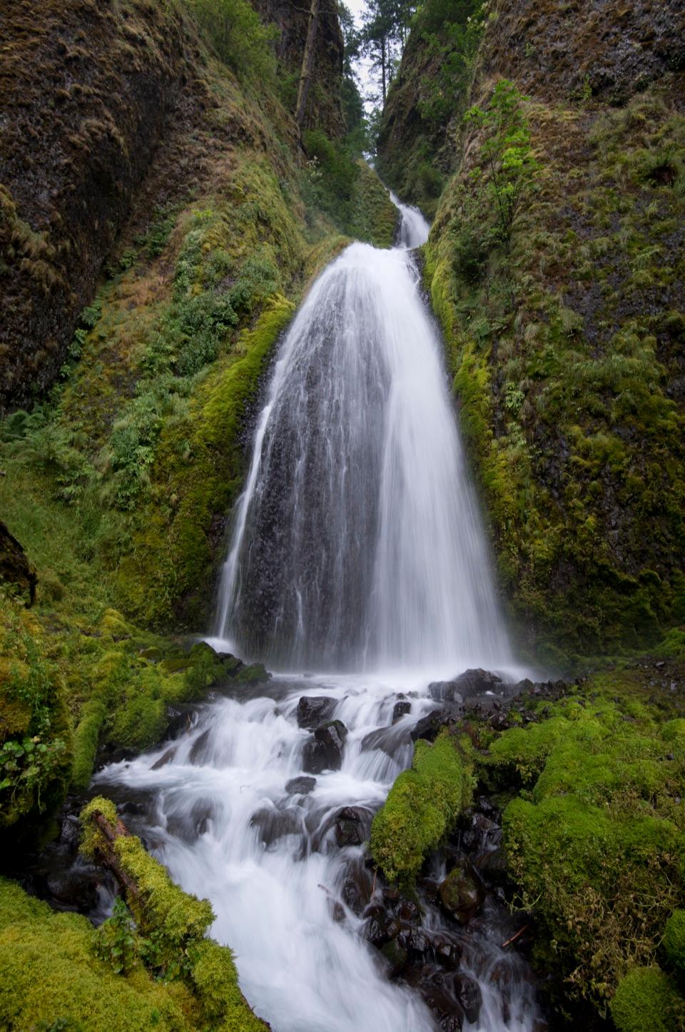
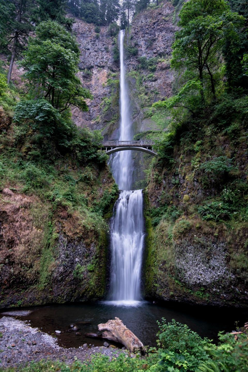
Shepperd’s Dell is a two-tier waterfall on Youngs Creek, dropping through steep basalt below the Historic Columbia River Highway. A graceful arched stone bridge crosses the gorge beside the cascade, making the falls and the old road a single stop.

Why stop

  • The short walk pairs several drops with a graceful 1914 bridge.

Heads up

  • Roadside parking is limited, and the falls path has stairs.

Map

Where it is

Loading the Columbia River Gorge map
Full map
SightShepperd’s Dell Falls45.54652, -122.19754
Keep this map with you offline in the Parkwolf app

Plan your stop

Before you go

2 active Columbia River Gorge alerts

  • ClosureEagle Creek Fire-area trail and gorge closuresRuckel Creek Trail 405, part of Tanner Butte Trail 401, and Oneonta Gorge are closed through July 17, 2027, unless the order is rescinded sooner.Official details
  • ClosureElowah Falls eastbound I-84 ramp closedThe NE Frontage Road on-ramp to eastbound I-84 at the Elowah Falls Trailhead parking lot remains closed during McCord Creek bridge construction.Official details

Columbia River Gorge alerts
A park ranger sits on a dash-mounted phone, talking, as Parkwolf’s Tour Guide plays “Army Cutworm Moths: A Grizzly Bear Buffet” on Grand Loop Road below Dunraven Pass in Yellowstone
Parkwolf Tour GuideThe highest, rockiest slopes around here are a summer buffet for grizzly bears.

Columbia River Gorge Tour Guide

Your drive to Shepperd’s Dell Falls, narrated.

Parkwolf is a GPS audio tour guide for Columbia River Gorge National Scenic Area. As you drive, it chimes in with what’s ahead: hidden gems, upcoming stops, history, geology, and wildlife, right through your car’s speakers.

See the Columbia River Gorge audio tour

Recorded for this place

Shepperd's Dell Falls
0:00 / 0:19
“You're nearing Shepperd's Dell, where Youngs Creek drops through basalt beside the historic highway bridge. Take the short paved path at the bridge's east end for a falls view; the fifth-of-a-mile round trip has stairs.”

Plays as you drive up to Shepperd’s Dell Falls in the Parkwolf Columbia River Gorge Tour Guide.

More stories near here in the app

  • A Garden Above Your Head
  • The Postmark That Outlived the Mill
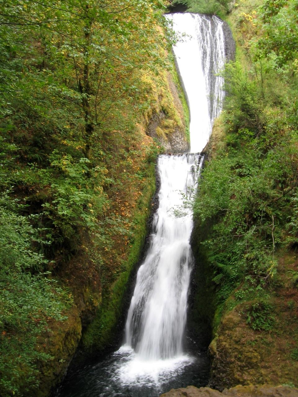
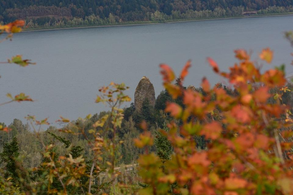
  • Bridal Veil Falls and the Bluff
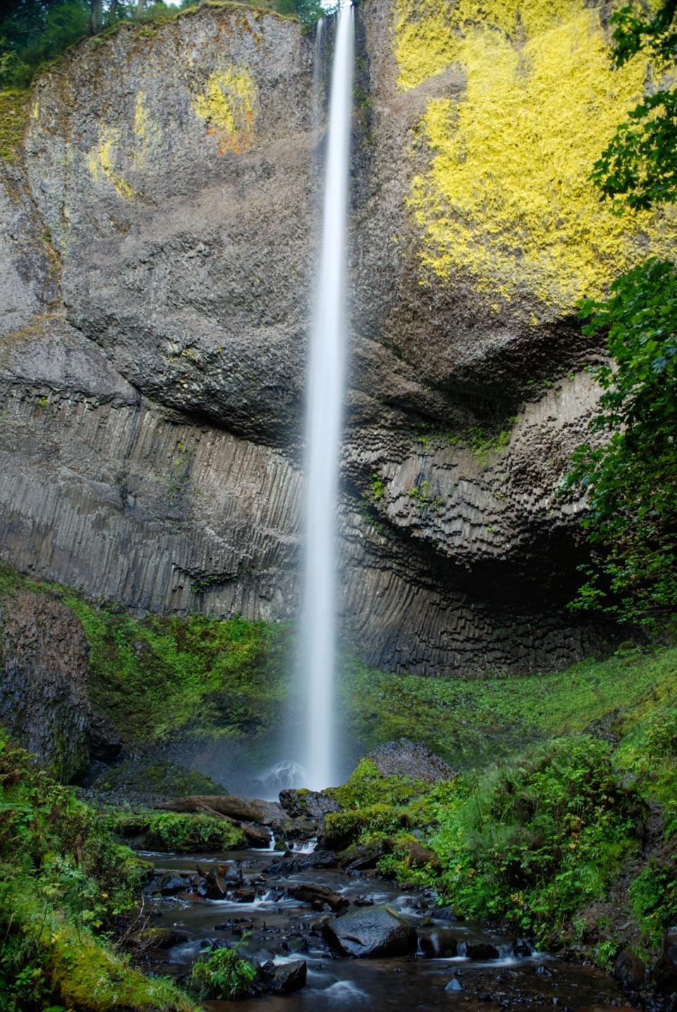
  • Latourell Falls
  • 217 audio storiesacross Columbia River Gorge’s roads, triggered by GPS as you drive
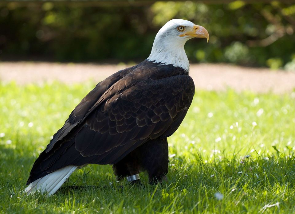
  • Wildlife heatmapsfor Bald Eagle, Black Bear, American Pika, and 13 more
  • Works offlinemaps, 111 trails, 79 places, and audio download before you lose signal
  • CarPlay readysimple controls built for the drive
★★★★★
“Fantastic app with many points of information… It’s great to just turn on while you’re driving and it gives you an audio tour of the national Park. We love it!!!!”
JMJamesApp Store review
Download Parkwolf on the App StoreGet Parkwolf on Google Play

4.7 from 8,600+ ratings

Guide

More about Shepperd’s Dell Falls

Walk down to the cascadeYou can hear the water from the bridge; to see the falls, follow the paved path at its east end.

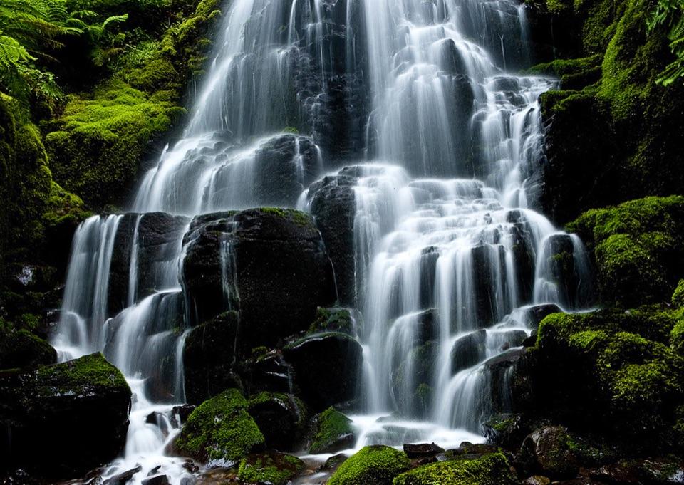
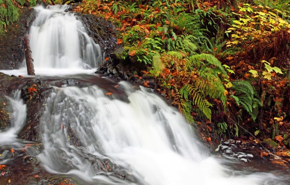
You can hear the water from the bridge; to see the falls, follow the paved path at its east end. It’s about 0.2 miles round trip, with stairs cut into the cliff leading to a view of the falls. The close view breaks the cascade into several drops. Look for the hourglass-shaped fall above the bridge and two smaller drops below; the arch and falling water make the defining photo here.

The bridge and the nameState bridge engineer K. P.

State bridge engineer K. P. Billner designed the arch in 1914 for the Historic Columbia River Highway. In 1915, George Shepperd gave the land to Portland as a memorial to his wife, Mattie; it later passed to Oregon. It’s a compact stop that links the gorge’s waterfall scenery with the history of the road.

A small roadside stopDay use is year-round and no permit is required.

Day use is year-round and no permit is required. Parking is roadside on either side of Highway 30, and available space is limited. There is no restroom at the trailhead. Expect stairs rather than a step-free route, and keep dogs leashed.

Wildlife

Wildlife in Columbia River Gorge

All Columbia River Gorge wildlife maps

Sighting maps show where each species has been reported across Columbia River Gorge. Wildlife moves, so no sighting is guaranteed.

Keep exploring

Near Shepperd’s Dell Falls

See it all on the map

Trails nearby

More stops nearby

Parkwolf’s Columbia River Gorge ranking

Top sights in Columbia River Gorge

All 79 places
  1. 1Multnomah FallsSight
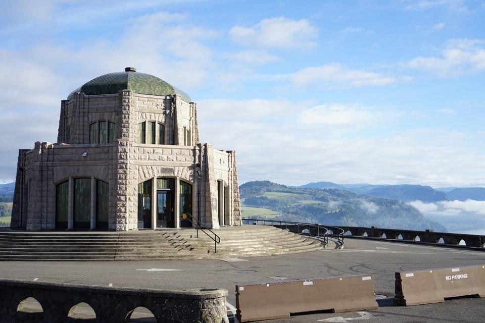
  2. 2Vista House at Crown PointSight
  3. 3Rowena Crest OverlookSight
  4. 4Portland Women’s Forum State Scenic ViewpointSight
  5. 5Latourell FallsSight
  6. 6Beacon RockSight

Take Parkwolf to Columbia River Gorge.

The audio tour guide for the drive, plus offline maps, trails, and wildlife heatmaps for when the signal drops.

4.7 from 8,600+ ratings

Download Parkwolf on the App StoreGet Parkwolf on Google Play