Parking
Start at Angel’s Rest Trailhead on the Historic Columbia River Highway by East Bridal Veil Road. The two marked lots fill quickly in spring and summer; do not park outside marked spaces.
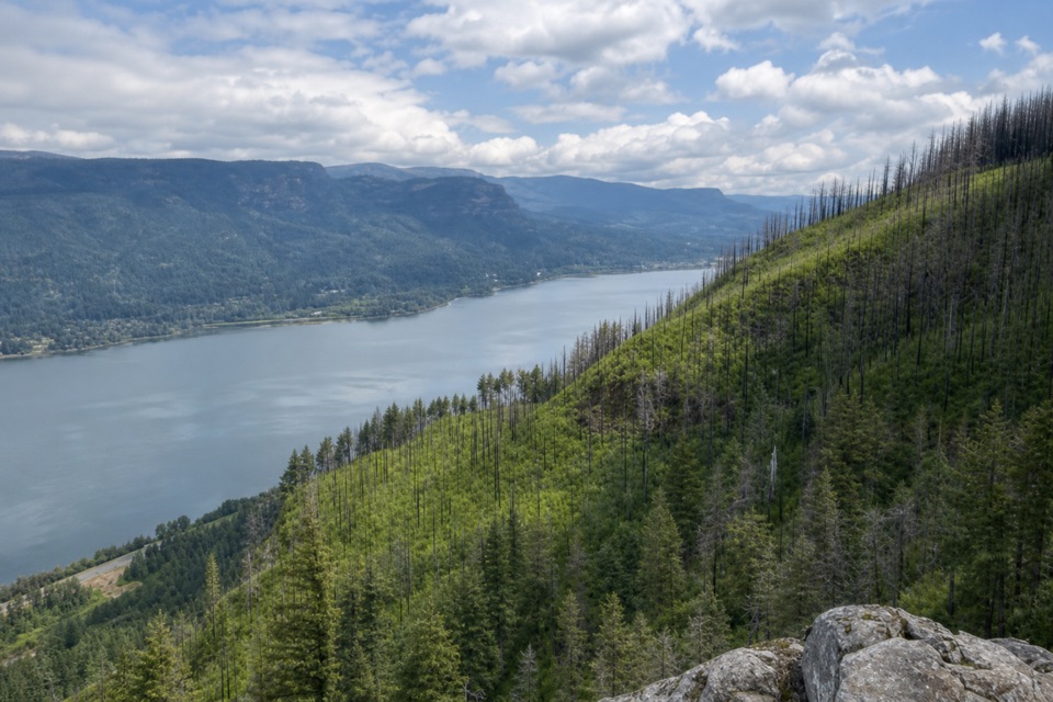
Columbia River Gorge National Scenic Area, OR · WA
A long Gorge loop from river views to a quieter forest summit.
Overview
Map & elevation
Plan your hike

The highest, rockiest slopes around here are a summer buffet for grizzly bears.
Columbia River Gorge Tour Guide
Parkwolf is a GPS audio tour guide for Columbia River Gorge National Scenic Area. As you drive, it chimes in with what’s ahead: hidden gems, upcoming stops, history, geology, and wildlife, right through your car’s speakers.
Recorded for this trailhead
Angel's Rest Trailhead“You're approaching Angel's Rest Trailhead, where a steep climb leads to a rocky bluff above the Columbia.”
Plays as you drive up to this trailhead in the Parkwolf Columbia River Gorge Tour Guide.
More stories near here in the app
“Fantastic app with many points of information… It’s great to just turn on while you’re driving and it gives you an audio tour of the national Park. We love it!!!!”


Trail guide
This 10.7-mile lollipop starts and ends at Angel's Rest Trailhead. Trail #415 climbs to Angel's Rest, then Foxglove paths, Devil's Rest Trail #420C, and a short section of the Wahkeena Trail complete the return. Expect a hard day: about 2,770 feet of gain over rocky, steep ground. Allow roughly 7½ hours, with time for the waterfalls and exposed ledge.
The west climb begins in forest, then crosses loose talus as the Columbia opens below. A cliffside viewpoint looks down to Coopey Falls; a short, steep side path reaches Upper Coopey Falls. After a footbridge over Coopey Creek, switchbacks lead to Angel's Rest, a bare rock promontory above the river. The final footing is uneven, the edge is exposed, and wind can be strong. Keep the river low in a photo and include foreground rock to show the Gorge's scale.
Continue uphill on #415 to the Foxglove connectors, then follow them to Devil's Rest Trail #420C. This stretch trades the open river view for recovering forest, wet hollows, and creek crossings. Devil's Rest itself is a mossy, tree-covered summit with no view; a nearby established spur opens toward the Columbia and several Cascade peaks. From there, the route heads east on #420C, takes the Wahkeena Trail west past Wahkeena Spring and Mist Creek, and rejoins #415. The lollipop retraces its opening section before descending to the same trailhead. Take care at the Foxglove junctions, where route-finding can be confusing.
Start at Angel's Rest Trailhead on the Historic Columbia River Highway by East Bridal Veil Road. Its two lots fill quickly in spring and summer; use marked spaces only. Oregon State Parks says a day-use parking permit is required and can be bought onsite. There is no toilet at the trailhead; the nearest verified restroom is at the separate Bridal Veil Trailhead, less than a mile west. Dogs are allowed on leash.
Wildlife
 267 sightingsBald EagleMost seen around 7 AMSighting map
 51 sightingsBlack BearMost seen around 7 PMSighting map
 136 sightingsAmerican PikaMost seen around 8 AMSighting map
 16 sightingsWapitiMost seen around 7 AMSighting map
 195 sightingsMule DeerMost seen around 7 AMSighting map
 74 sightingsChinook SalmonMost seen around 6 PMSighting map
Sighting maps show where each species has been reported across Columbia River Gorge. Wildlife moves, so no sighting is guaranteed.
Keep exploring
 ModerateAngel's Rest Trail4.8 mi · 3.5 hr · At the trailheadA steep climb to a rocky bluff above the Columbia Gorge.
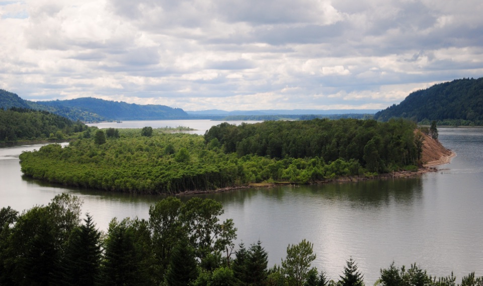 EasyBridal Veil Overlook Loop Trail0.3 mi · 20 min · 0.6 mi awayA brief paved loop for river cliffs and basalt landmarks.
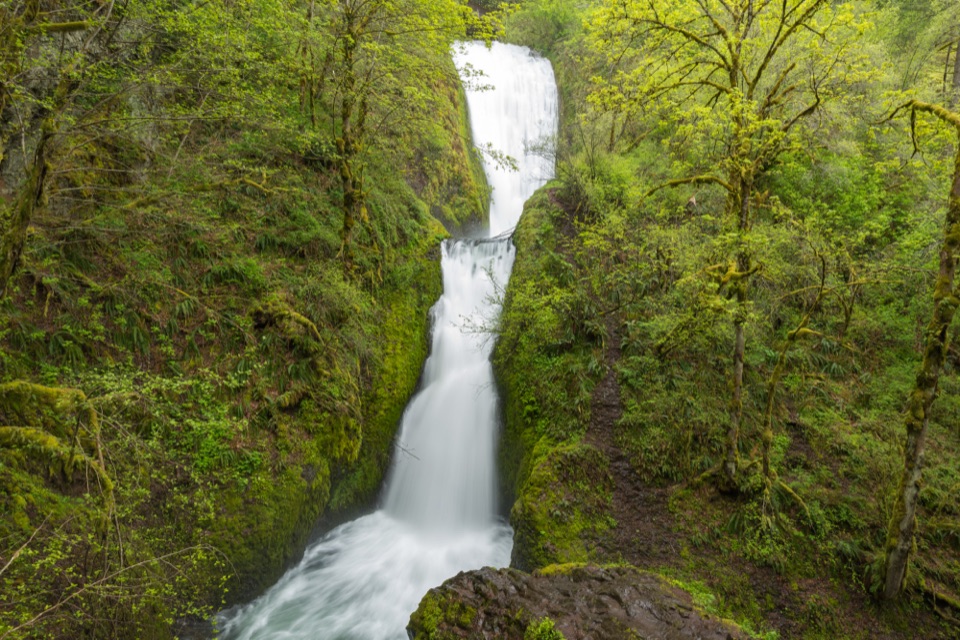 ModerateBridal Veil Falls Trail0.6 mi · 45 min · 0.7 mi awayA two-tier waterfall waits beyond ninety steps and a shady creek.
 ChallengingCape Horn Loop Trail6.5 mi · 4.5 hr · 2 mi awayWaterfalls and river views reward a steep, varied Gorge loop.
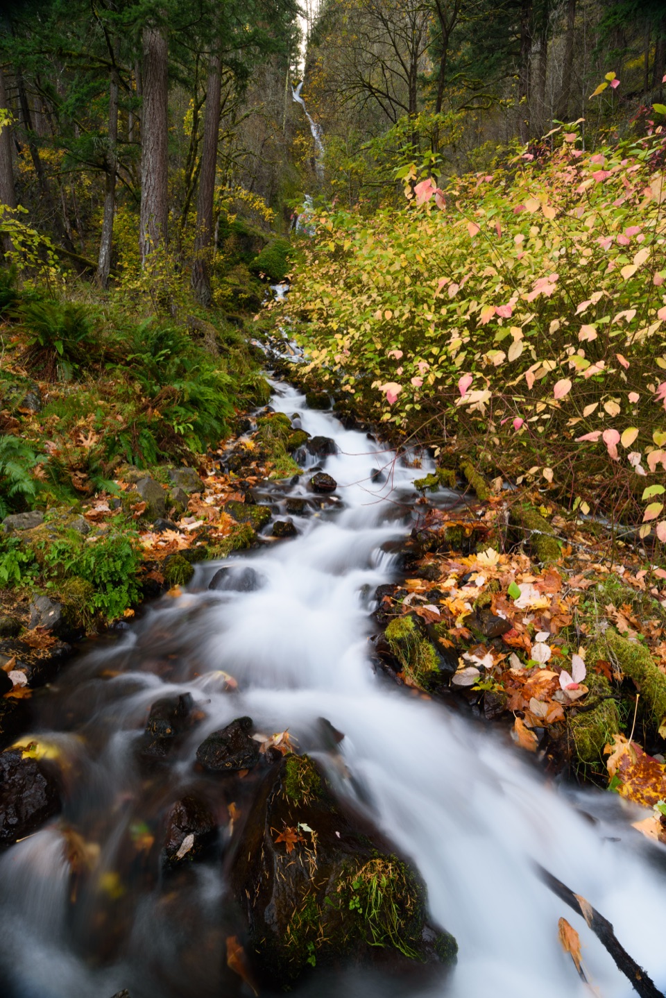 ModerateWahkeena Falls Trail to Lemmons Viewpoint1.5 mi · 1.5 hr · 2.4 mi awayA stone bridge, plunging falls, and a Gorge overlook on one climb.
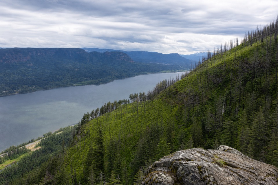 ChallengingDevil's Rest Trail6.7 mi · 5.3 hr · 2.4 mi awayWaterfalls and Gorge views arrive before the shaded summit.
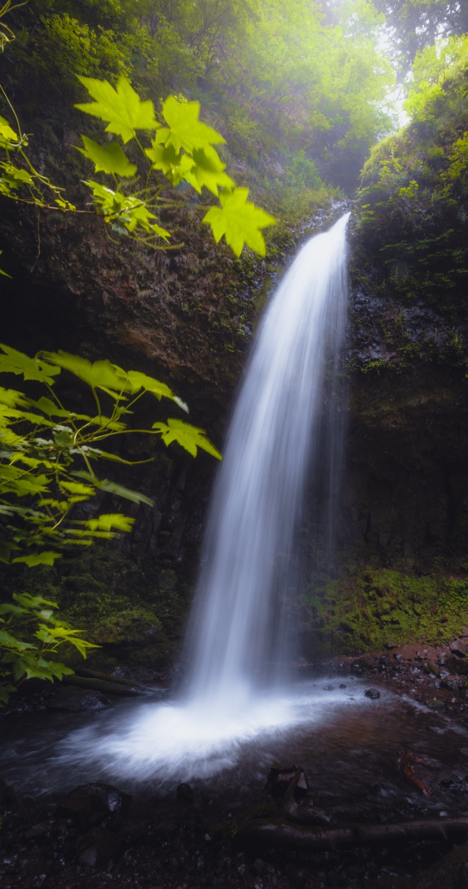 ModerateLatourell Falls Loop2 mi · 1.5 hr · 2.7 mi awayFollow Latourell Creek to two waterfalls and a hidden upper drop.
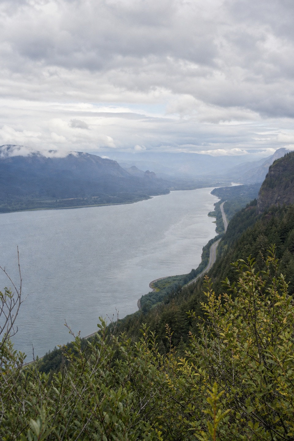 ModerateVista Point Trail #4190.8 mi · 30 min · 2.8 mi awayA short upper trail trades the spring stop for a river view.
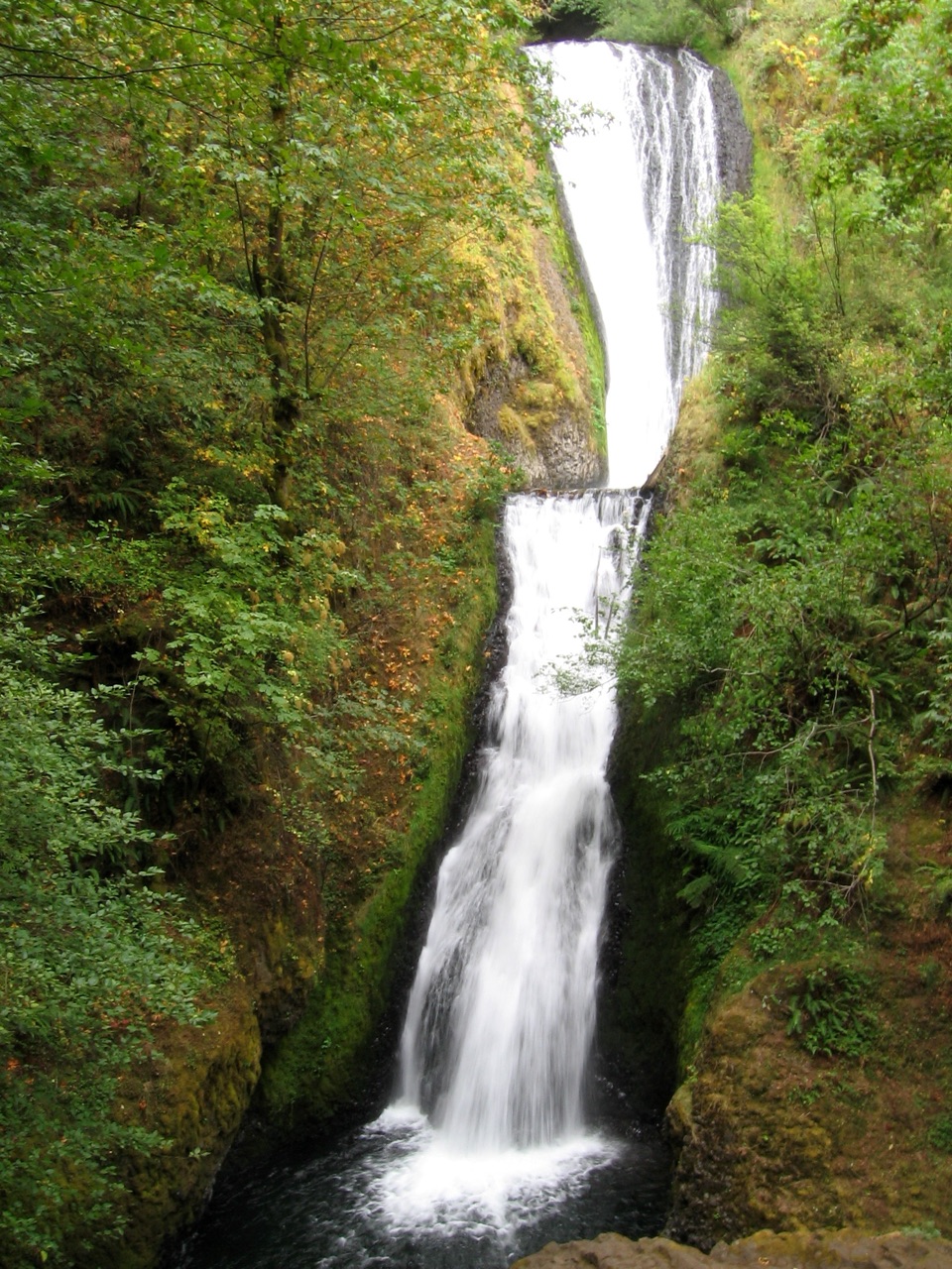 Sight · 0.6 mi awayBridal Veil FallsA steep falls trail and an easy bluff loop share one stop.
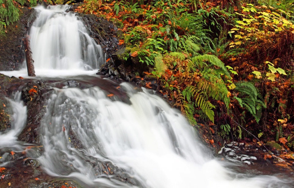 Sight · 1.5 mi awayShepperd’s Dell FallsA quick bridge-and-falls stop, with steps down to the creek.
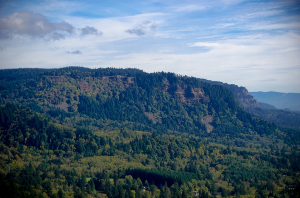 Sight · 1.9 mi awayNancy Russell Cape Horn OverlookA stone-walled Gorge perch at the end of a steep trail.
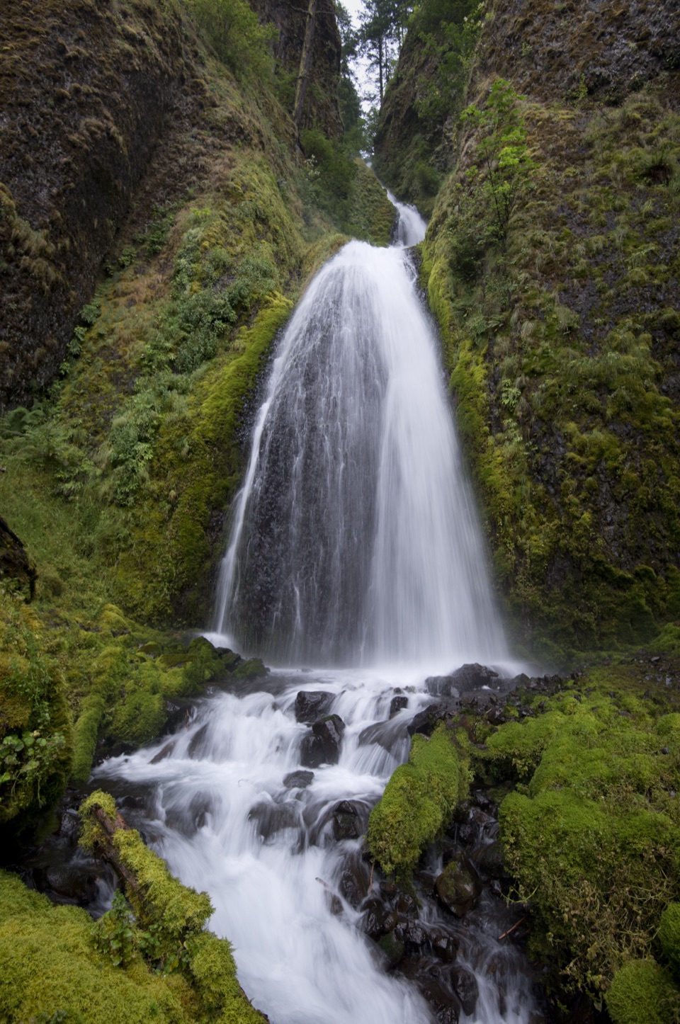 Sight · 2.4 mi awayWahkeena FallsA 242-foot cascade with a stone bridge at its foot.
 Sight · 2.4 mi awayFairy FallsA fan-shaped creek waterfall with a bench beside the trail.
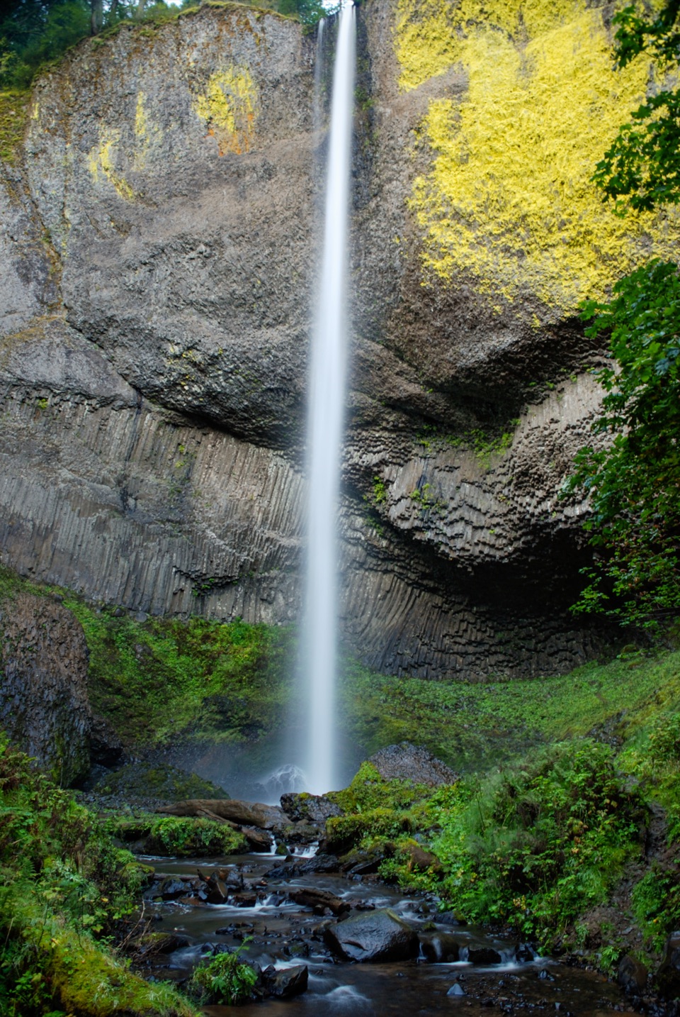 Sight · 2.7 mi awayLatourell FallsA paved walk reaches the lichen-bright plunge; loops climb to upper falls.
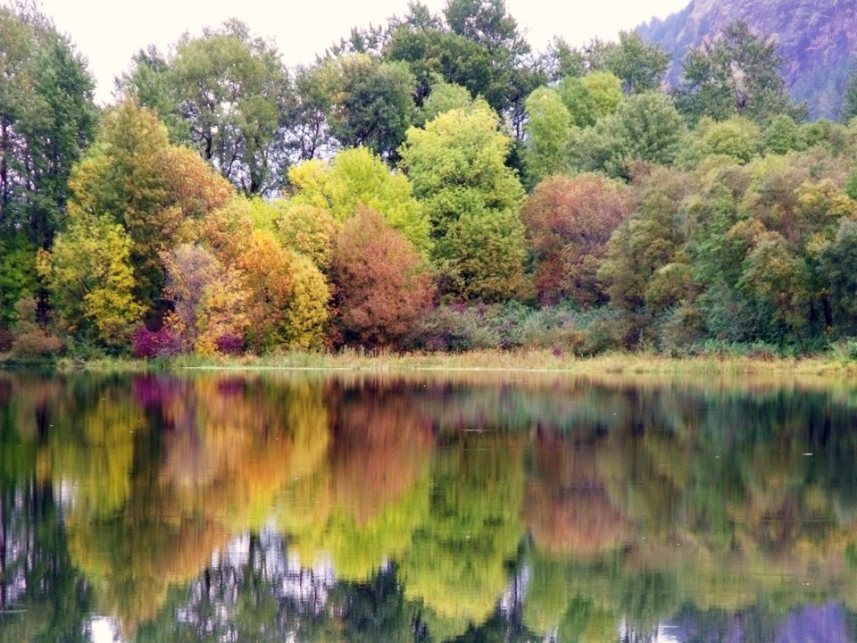 Sight · 2.8 mi awayBenson State Recreation AreaA lake swim and a round of disc golf in one stop.
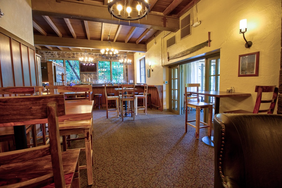 Sight · 2.9 mi awayMultnomah Falls LodgeA 1925 lodge for dining and visitor services beneath Multnomah Falls.
Parkwolf’s Columbia River Gorge ranking

The audio tour guide for the drive, plus offline maps, trails, and wildlife heatmaps for when the signal drops.


