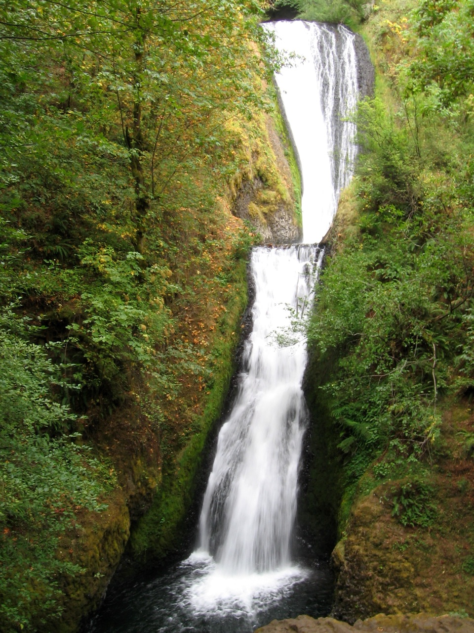
Bridal Veil Falls in Columbia River Gorge National Scenic Area

#10 of 60 sights in Columbia River Gorge

Sight · Columbia River Gorge National Scenic Area

Bridal Veil Falls

A steep falls trail and an easy bluff loop share one stop.

Photo: Wikimedia Commons
Type
Sight
Nearest trail
Right here
Audio stories
11 nearby
  • Trailhead
  • Restrooms
  • Parking
  • Scenic viewpoint

Hear the audio tour

Bridal Veil Falls and the Bluff

Overview

About Bridal Veil Falls

Why stop

  • Two very different walks, including an accessible paved overlook loop

Heads up

  • The waterfall trail is steep, with a strenuous climb back up

Map

Where it is

Loading the Columbia River Gorge map
Full map
SightBridal Veil Falls45.55437, -122.18257
Keep this map with you offline in the Parkwolf app

Plan your stop

Before you go

Getting there and making the visit work

The park is near milepost 28 on the Historic Columbia River Highway, about three-quarters of a mile from I-84's Exit 28. Day-use parking requires a one-day permit bought on site. Flush restrooms, picnic tables and a lawn are near the parking area; more tables sit beside the bluff loop. Keep dogs on leash.

Don't walk onto the old highway bridge for a better look at the falls: it is a narrow two-lane road with no sidewalk. Use the waterfall trail's viewing area instead. If you're choosing between the two walks, the bluff loop is the easy, paved option; the waterfall trail gives you the close-up view but takes more effort on the return climb.


8 active Columbia River Gorge alerts

  • CautionCape Horn area access restrictionsMentions Cape Horn, referenced in this guideCape Horn access is restricted: do not drive on National Forest System trails or off National Forest System roads, enter after sundown or before sunrise, camp, or have campfires.Official details
  • ClosureEagle Creek Fire area closureDo not enter Oneonta Gorge or the specified trail sections because hazards remain following the Eagle Creek Fire.Official details
See all 8 alerts
A park ranger sits on a dash-mounted phone, talking, as Parkwolf’s Tour Guide plays “Army Cutworm Moths: A Grizzly Bear Buffet” on Grand Loop Road below Dunraven Pass in Yellowstone
Parkwolf Tour GuideThe highest, rockiest slopes around here are a summer buffet for grizzly bears.

Columbia River Gorge Tour Guide

Your drive to Bridal Veil Falls, narrated.

Parkwolf is a GPS audio tour guide for Columbia River Gorge National Scenic Area. As you drive, it chimes in with what’s ahead: hidden gems, upcoming stops, history, geology, and wildlife, right through your car’s speakers.

Recorded for this place

Bridal Veil Falls and the Bluff
0:00 / 0:32
“You're coming up on Bridal Veil Falls, where two very different short walks start from the same park. If the waterfall is your reason to stop, take the trail downhill to its two mossy tiers.”

Plays as you drive up to Bridal Veil Falls in the Parkwolf Columbia River Gorge Tour Guide.

More stories near here in the app

  • The Postmark That Outlived the Mill
  • Angel's Rest Trailhead
  • The Crew Behind the Climb
  • Shepperd's Dell Falls
  • 217 audio storiesacross Columbia River Gorge’s roads, triggered by GPS as you drive
  • Wildlife heatmapsfor Bald Eagle, Black Bear, American Pika, and 13 more
  • Works offlinemaps, 111 trails, 78 places, and audio download before you lose signal
  • CarPlay readysimple controls built for the drive
★★★★★
“Fantastic app with many points of information… It’s great to just turn on while you’re driving and it gives you an audio tour of the national Park. We love it!!!!”
JMJamesApp Store review
Download Parkwolf on the App StoreGet Parkwolf on Google Play

4.7 from 8,600+ ratings

Guide

More about Bridal Veil Falls

A waterfall stop with two ways to visitBridal Veil Falls State Scenic Viewpoint is an Oregon day-use park off the Historic Columbia…

Bridal Veil Falls State Scenic Viewpoint is an Oregon day-use park off the Historic Columbia River Highway, with a two-tier waterfall and a separate bluff-top loop above the Columbia. It earns a stop on a Gorge drive because you can choose between two very different short walks: a steep trail down to the falls or an easy paved loop with broad river views. If you're with someone who can't manage steep switchbacks, the paved route still makes this a worthwhile stop.

The waterfall trail earns the climbThe falls trail drops through trees to a viewing area beside Bridal Veil Creek.

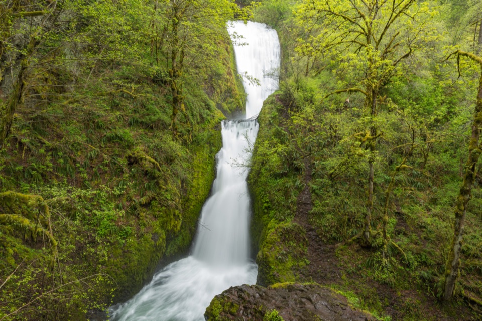
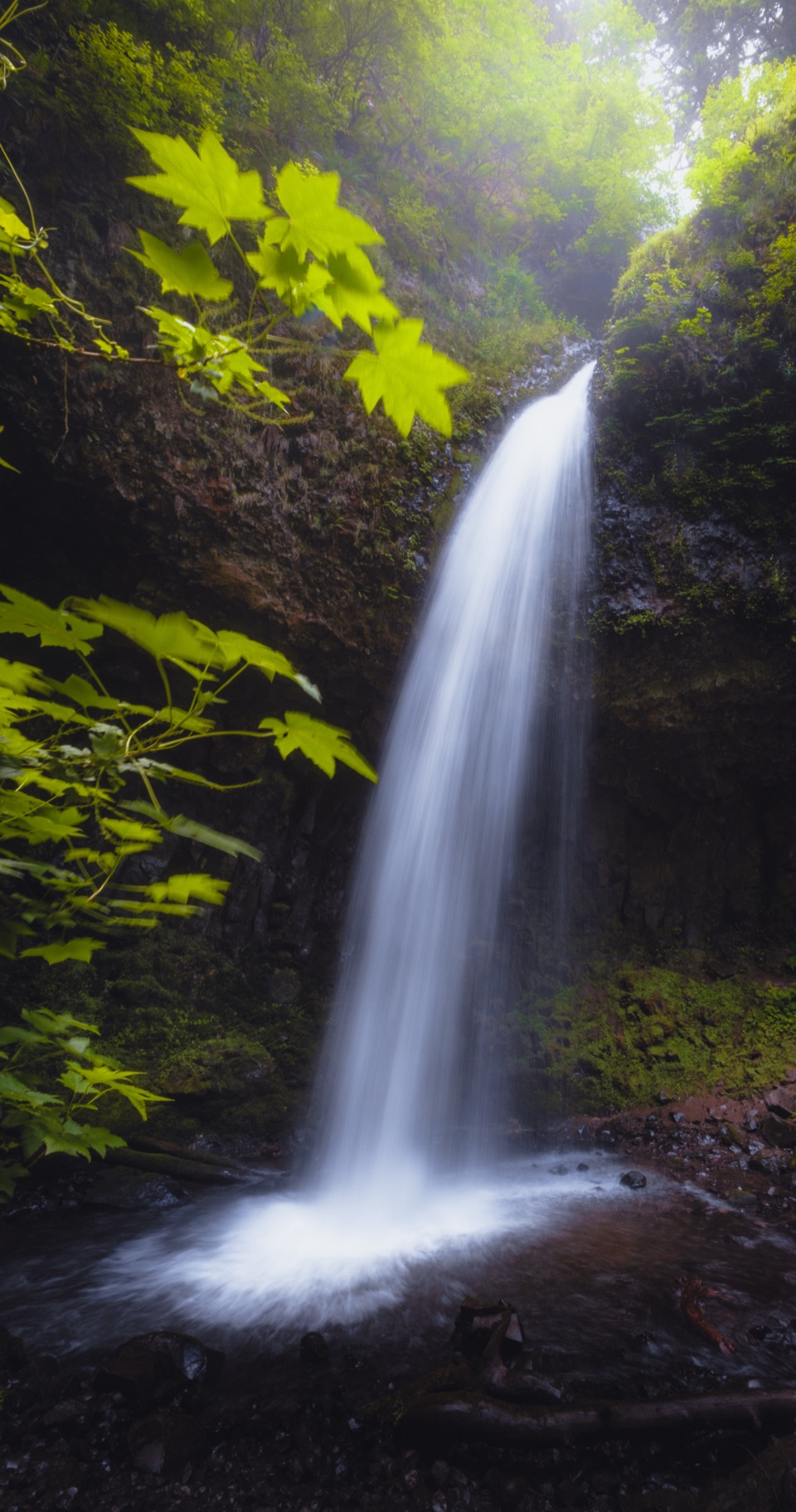
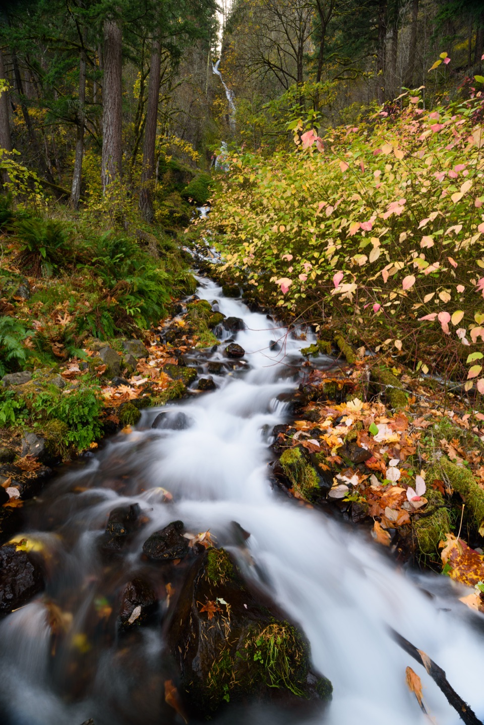
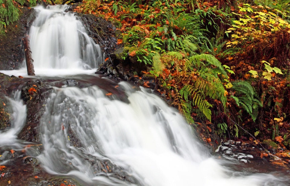
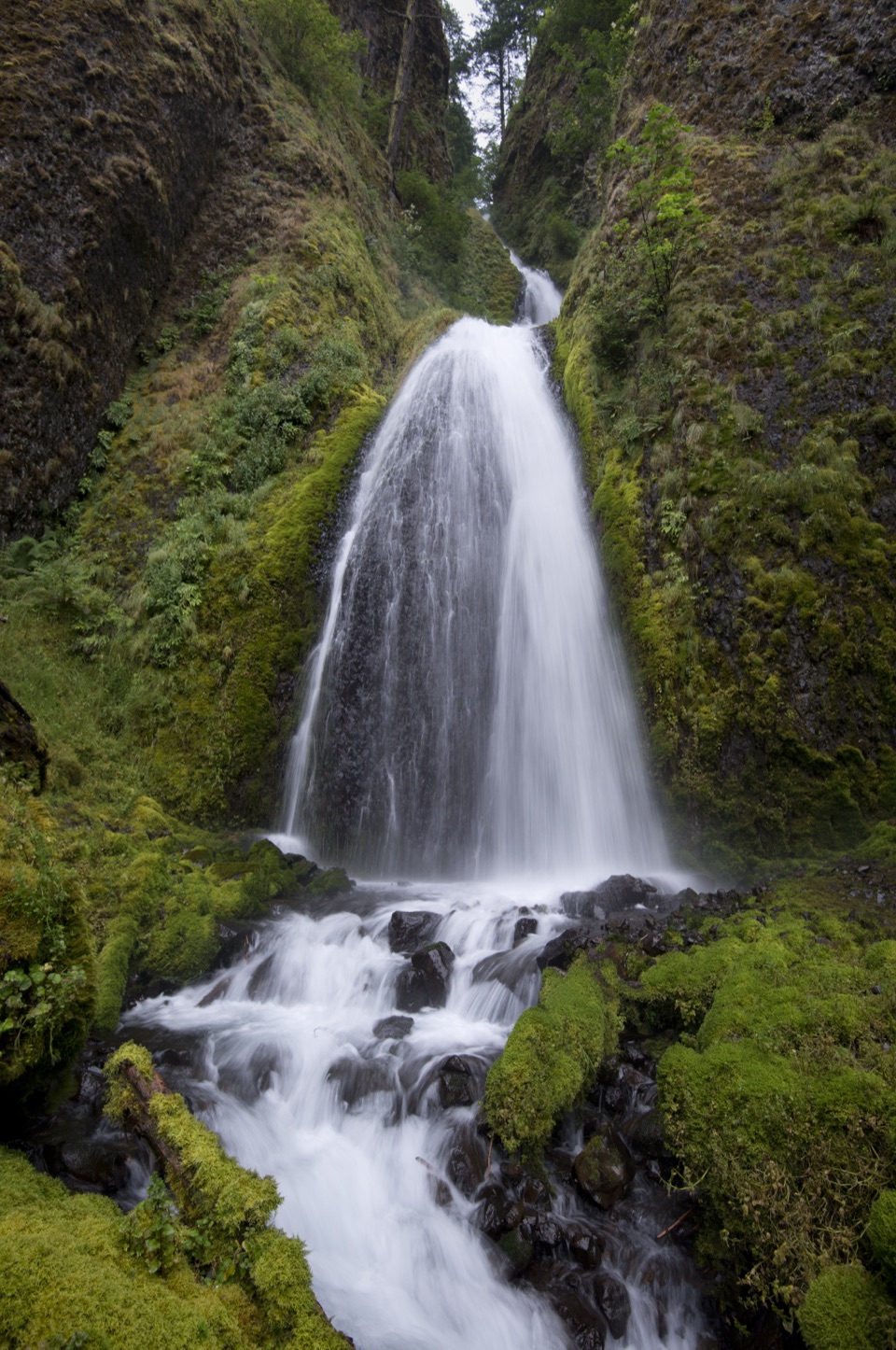
The falls trail drops through trees to a viewing area beside Bridal Veil Creek. The water spills over mossy basalt in two tiers, dropping about 120 feet in all. The upper cascade passes below the old Columbia River Highway bridge; the lower tier tumbles into a shaded pool. At the base, you can see the whole drop at once, which is why this is the route to take if the waterfall is your reason for stopping.

The trail is short, but the walk back is the harder part: you descend a steep set of switchbacks and then climb them to the parking area. This route isn't wheelchair accessible. Frame both tiers against the dark rock from the creek-side viewing area. The falls are most likely to be running strongly in winter and after spring rain.

Take the bluff loop for the river viewA separate paved loop follows the bluff for about half a mile, with little picnic-table nooks…

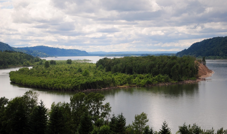
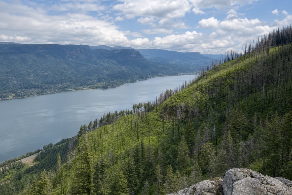
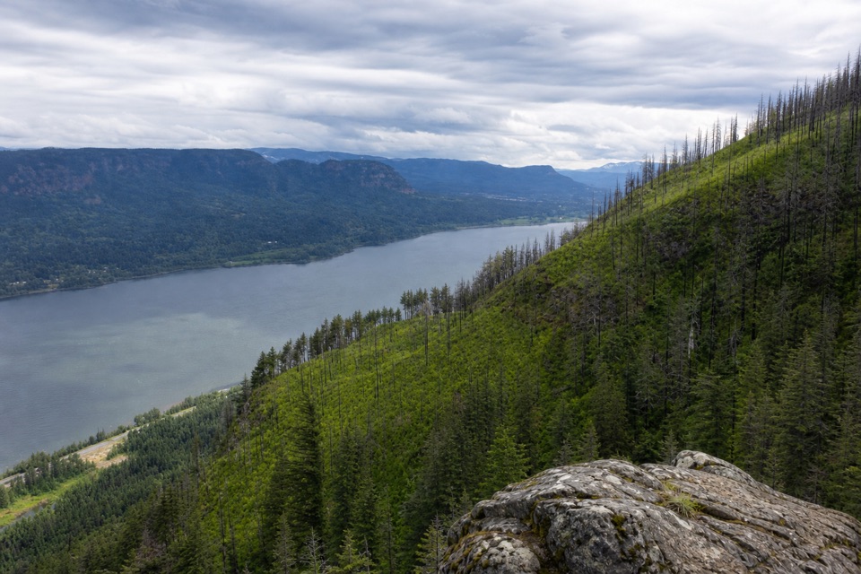
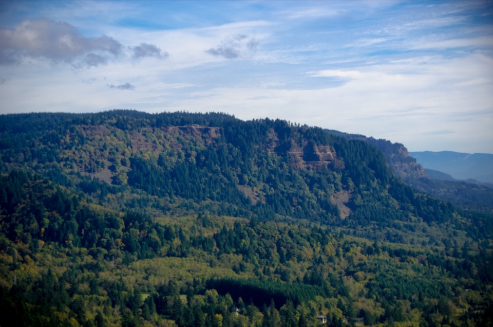
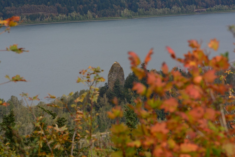
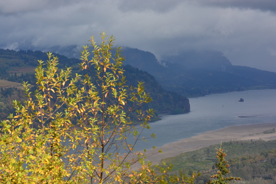
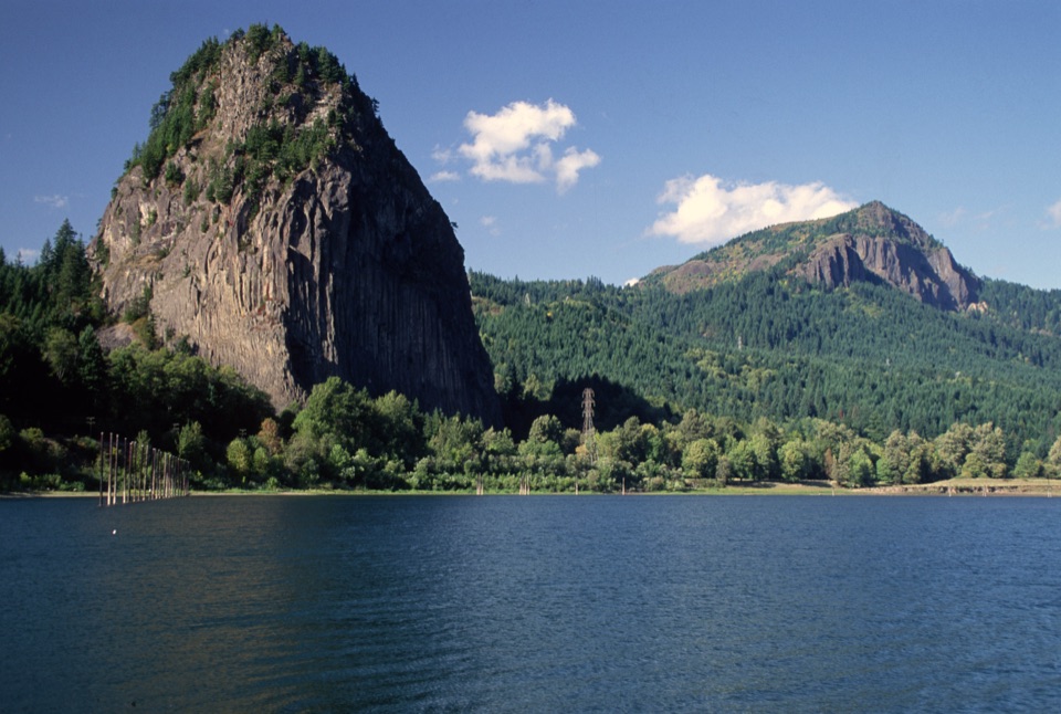
A separate paved loop follows the bluff for about half a mile, with little picnic-table nooks and interpretive signs along the way. It is the gentler option, with minimal slope and a wide view across the Columbia. Look for Cape Horn's cliffs, Beacon Rock, and Archer and Hamilton mountains. The western viewpoint also faces the basalt columns called the Pillars of Hercules; during the wet season, Cape Horn Falls can be seen dropping down the far cliffs. For a broad Gorge photo, include the river and a slice of the bluff or trees in the foreground.

The park sits on the former Bridal Veil Timber Company site. The company began operating here in 1886, using a flume to bring rough-cut lumber to its sawmill and the railroad. Signs and remnants on the grounds point out the old dike, a human-made creek and a corrugated-iron shed. The Pillars of Hercules have their own rail history: an 1884 line passed between columns then known as the Needles, and later road and rail work destroyed some of them.

Wildlife

Wildlife in Columbia River Gorge

All Columbia River Gorge wildlife maps

Sighting maps show where each species has been reported across Columbia River Gorge. Wildlife moves, so no sighting is guaranteed.

Keep exploring

Near Bridal Veil Falls

See it all on the map

Trails nearby

More stops nearby

Parkwolf’s Columbia River Gorge ranking

Top sights in Columbia River Gorge

All 78 places
  1. 1Multnomah FallsSight
  2. 2Vista House at Crown PointSight
  3. 3Rowena Crest OverlookSight
  4. 4Portland Women’s Forum State Scenic ViewpointSight
  5. 5Latourell FallsSight
  6. 6Beacon RockSight

Take Parkwolf to Columbia River Gorge.

The audio tour guide for the drive, plus offline maps, trails, and wildlife heatmaps for when the signal drops.

4.7 from 8,600+ ratings

Download Parkwolf on the App StoreGet Parkwolf on Google Play